Ash Plantation

Wood, Forest in Norfolk North Norfolk

England

Ash Plantation

Repainted Sustead village sign The sign depicts the three dolphins of the Damme family and "the manor of Damms in Sustede" in the reign of Queen Elizabeth I.
Repainted Sustead village sign Credit: Jane Rackham

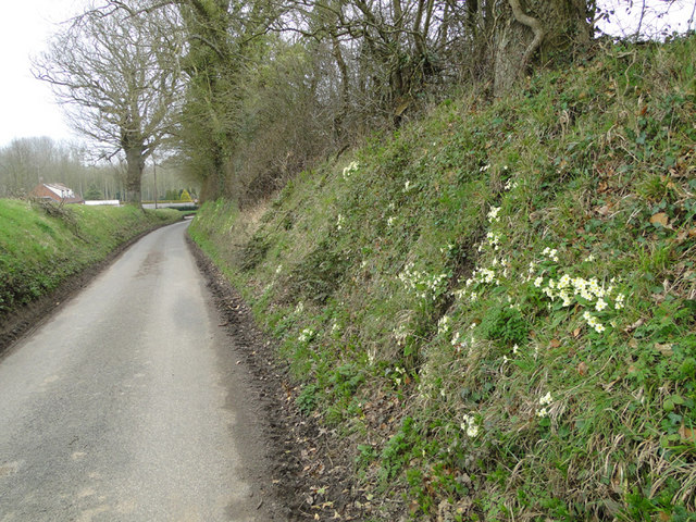
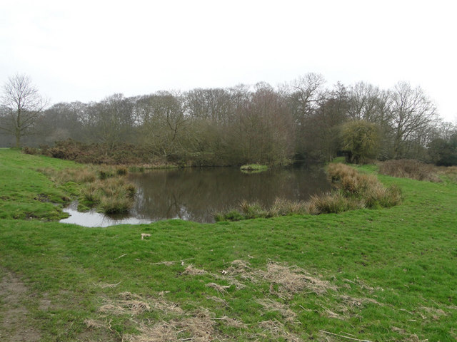
Ash Plantation is a woodland area located in Norfolk, England. Covering an expansive area, it is known for its dense population of ash trees, which give the plantation its name. The forest is situated in a picturesque landscape, with rolling hills and a variety of flora and fauna.

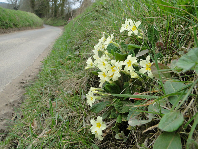
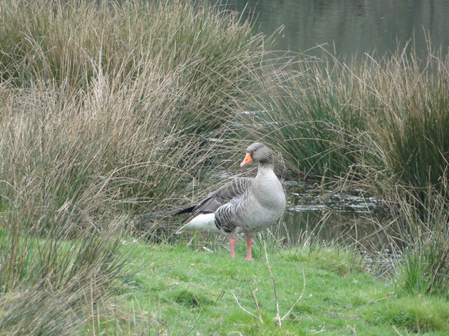
The plantation is a significant natural habitat for a diverse range of wildlife. The dense tree cover provides a safe haven for numerous bird species, including woodpeckers, owls, and various songbirds. Mammals such as foxes, rabbits, and deer can also be spotted within the woodland.

The ash trees in the plantation are known for their tall and slender trunks, reaching impressive heights. The canopy created by these trees allows for a filtered sunlight to reach the forest floor, creating a unique and enchanting atmosphere. The forest floor itself is covered in a thick layer of leaf litter, providing a fertile ground for a variety of plants and fungi.

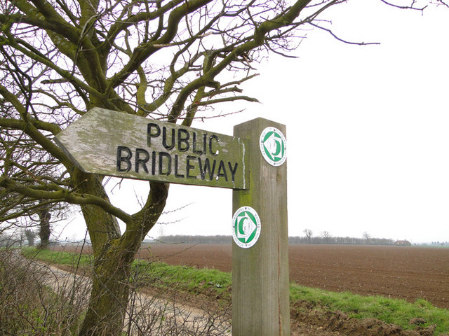
Ash Plantation is a popular destination for nature enthusiasts and outdoor enthusiasts alike. It offers a network of well-maintained trails, perfect for hiking and exploring the woodland. The plantation also provides a peaceful and serene setting for picnics and nature walks.

The management of the plantation is carried out by local authorities, ensuring the preservation of the natural environment. Regular maintenance activities, such as tree pruning and removal of invasive species, are conducted to maintain the health and biodiversity of the woodland.

Overall, Ash Plantation in Norfolk is a beautiful and diverse woodland, offering a tranquil escape and an opportunity to connect with nature.

If you have any feedback on the listing, please let us know in the comments section below.

Ash Plantation Images

Images are sourced within 2km of 52.881232/1.2358979 or Grid Reference TG1736. Thanks to Geograph Open Source API. All images are credited.

Repainted Sustead village sign The sign depicts the three dolphins of the Damme family and "the manor of Damms in Sustede" in the reign of Queen Elizabeth I.
Repainted Sustead village sign
The sign depicts the three dolphins of the Damme family and "the manor of Damms in Sustede" in the reign of Queen Elizabeth I.
Church of St Peter and St Paul, Sustead <span class="nowrap"><a title="https://historicengland.org.uk/listing/the-list/list-entry/1305393?section=official-list-entry" rel="nofollow ugc noopener" href="https://historicengland.org.uk/listing/the-list/list-entry/1305393?section=official-list-entry">Link</a><img style="margin-left:2px;" alt="External link" title="External link - shift click to open in new window" src="https://s1.geograph.org.uk/img/external.png" width="10" height="10"/></span>
Church of St Peter and St Paul, Sustead
Church of All Saints, Thurgarton <span class="nowrap"><a title="https://historicengland.org.uk/listing/the-list/list-entry/1373472?section=official-list-entry" rel="nofollow ugc noopener" href="https://historicengland.org.uk/listing/the-list/list-entry/1373472?section=official-list-entry">Link</a><img style="margin-left:2px;" alt="External link" title="External link - shift click to open in new window" src="https://s1.geograph.org.uk/img/external.png" width="10" height="10"/></span>
Church of All Saints, Thurgarton
2023-03-01 Thurgarton - All Saints Church South Porch of All Saints Church now looked after by the Churches Conservation Trust. Pew end carvings of fantastic beasts including dragon, elephant, harpies, fighting dogs and many more.
2023-03-01 Thurgarton - All Saints Church
South Porch of All Saints Church now looked after by the Churches Conservation Trust. Pew end carvings of fantastic beasts including dragon, elephant, harpies, fighting dogs and many more.
2023-03-01 Thurgarton - All Saints Church - Elephant with Howdah Mediaeval pew end carving featuring an elephant complete with howdah. Church disused but now in the care of the Churches Conservation Trust.
2023-03-01 Thurgarton - All Saints Church - Elephant with Howdah
Mediaeval pew end carving featuring an elephant complete with howdah. Church disused but now in the care of the Churches Conservation Trust.
2023-03-01 Thurgarton - All Saints Church - Dragon pew end carving Mediaeval pew end carving of a dragon with folded wings.
2023-03-01 Thurgarton - All Saints Church - Dragon pew end carving
Mediaeval pew end carving of a dragon with folded wings.
Bessingham Manor Due to be demolished the Manor has an unusually interesting history. For more information read the shared description by Evelyn Simak.
Bessingham Manor
Due to be demolished the Manor has an unusually interesting history. For more information read the shared description by Evelyn Simak.
Public Bridleway sign and ploughed fields beyond From Ringbank Lane, which can also be seen in the picture
Public Bridleway sign and ploughed fields beyond
From Ringbank Lane, which can also be seen in the picture
Ringbank Lane, Hanworth with primroses
Mud on Road, Ringbank Lane, Hanworth
Primroses on the bank of Ringbank Lane, Hanworth
Pond at Hanworth
Pond at Hanworth
Pond at Hanworth
Pond at Hanworth
Greylag goose beside the pond at Hanworth
Pond at Hanworth
Pond at Hanworth
Bessingham Manor - the bell It is still in its place but not for very much longer - the manor house is scheduled for demolition.
Bessingham Manor - the bell
It is still in its place but not for very much longer - the manor house is scheduled for demolition.
Bessingham Manor - the wash-house The coppers and fireplaces are still there but everything surrounding them has collapsed. The manor house is scheduled for demolition.
Bessingham Manor - the wash-house
The coppers and fireplaces are still there but everything surrounding them has collapsed. The manor house is scheduled for demolition.
Show me another place!

Ash Plantation is located at Grid Ref: TG1736 (Lat: 52.881232, Lng: 1.2358979)

Administrative County: Norfolk

District: North Norfolk

Police Authority: Norfolk

What 3 Words

///vies.braced.comforted. Near Sheringham, Norfolk

Nearby Locations

Ash Plantation Osier Carr

Related Wikis

All Saints Church, Thurgarton

All Saints' Church is a redundant Anglican church in the village of Thurgarton, Norfolk, England. It is recorded in the National Heritage List for England...

Thurgarton, Norfolk

Thurgarton is a village and former civil parish, now in the parish of Aldborough and Thurgarton, in the North Norfolk district of the county of Norfolk...
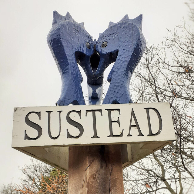
Sustead

Sustead is a small village and parish in the county of Norfolk, England, about four miles south-west of Cromer. The parish also includes the villages of...

Bessingham

Bessingham is a village and former civil parish, now in the parish of Sustead, in the North Norfolk district of the English county of Norfolk. It lies...

Have you been to Ash Plantation?

Leave your review of Ash Plantation below (or comments, questions and feedback).