Icehouse Plantation
Wood, Forest in Norfolk Broadland
England
Icehouse Plantation
Icehouse Plantation is a picturesque woodland located in Norfolk, England. Nestled in the heart of the county, the plantation spans over a vast area of woodland, offering visitors a serene and tranquil escape from the hustle and bustle of city life.
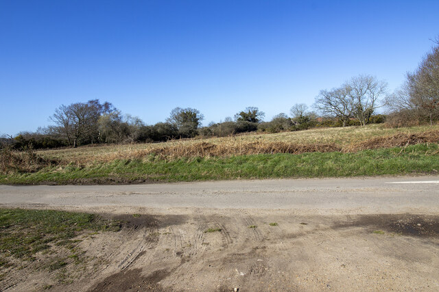
The plantation is known for its dense forest cover, consisting of a variety of tree species such as oak, beech, and pine. These trees create a canopy that provides shade and shelter for a wide range of wildlife, making it a haven for nature enthusiasts. Visitors can expect to spot an array of birds, mammals, and insects as they explore the plantation.
One of the notable features of Icehouse Plantation is its historic icehouse, which dates back to the 17th century. This well-preserved structure was once used to store ice during the winter months, providing a valuable resource for the local community. Today, it serves as a reminder of the region's rich history.
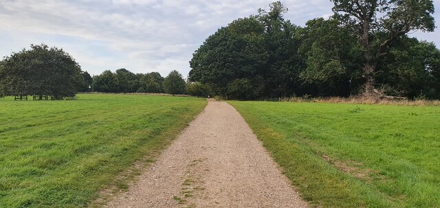
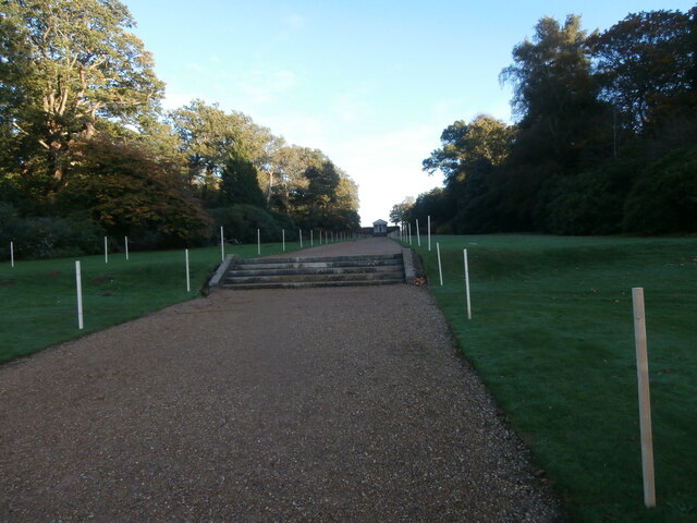
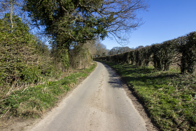
The plantation offers a network of well-maintained walking trails, allowing visitors to explore the woodland at their own pace. These trails meander through the forest, offering glimpses of picturesque views, babbling brooks, and vibrant wildflowers. The peaceful ambiance of the plantation makes it an ideal spot for a leisurely stroll or a picnic amidst nature.
Icehouse Plantation is easily accessible, with ample parking facilities and well-marked entrances. The plantation is open to the public throughout the year, with no admission fee. Whether you are a nature lover, history buff, or simply seeking a respite from urban life, Icehouse Plantation offers a serene retreat in Norfolk's beautiful woodlands.
If you have any feedback on the listing, please let us know in the comments section below.
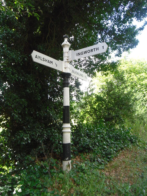
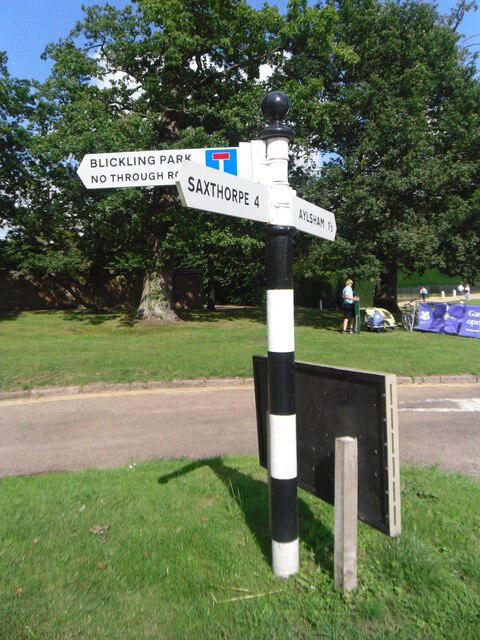
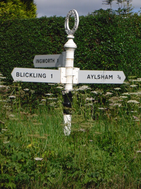
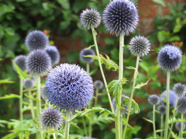
Icehouse Plantation Images
Images are sourced within 2km of 52.808335/1.2302106 or Grid Reference TG1728. Thanks to Geograph Open Source API. All images are credited.


Icehouse Plantation is located at Grid Ref: TG1728 (Lat: 52.808335, Lng: 1.2302106)
Administrative County: Norfolk
District: Broadland
Police Authority: Norfolk
What 3 Words
///partly.snuggled.pink. Near Aylsham, Norfolk
Nearby Locations
Related Wikis

Blickling
Blickling is a village and civil parish in the Broadland district of Norfolk, England, about 1.5 miles (2.4 km) north-west of Aylsham. In the 2011 census...
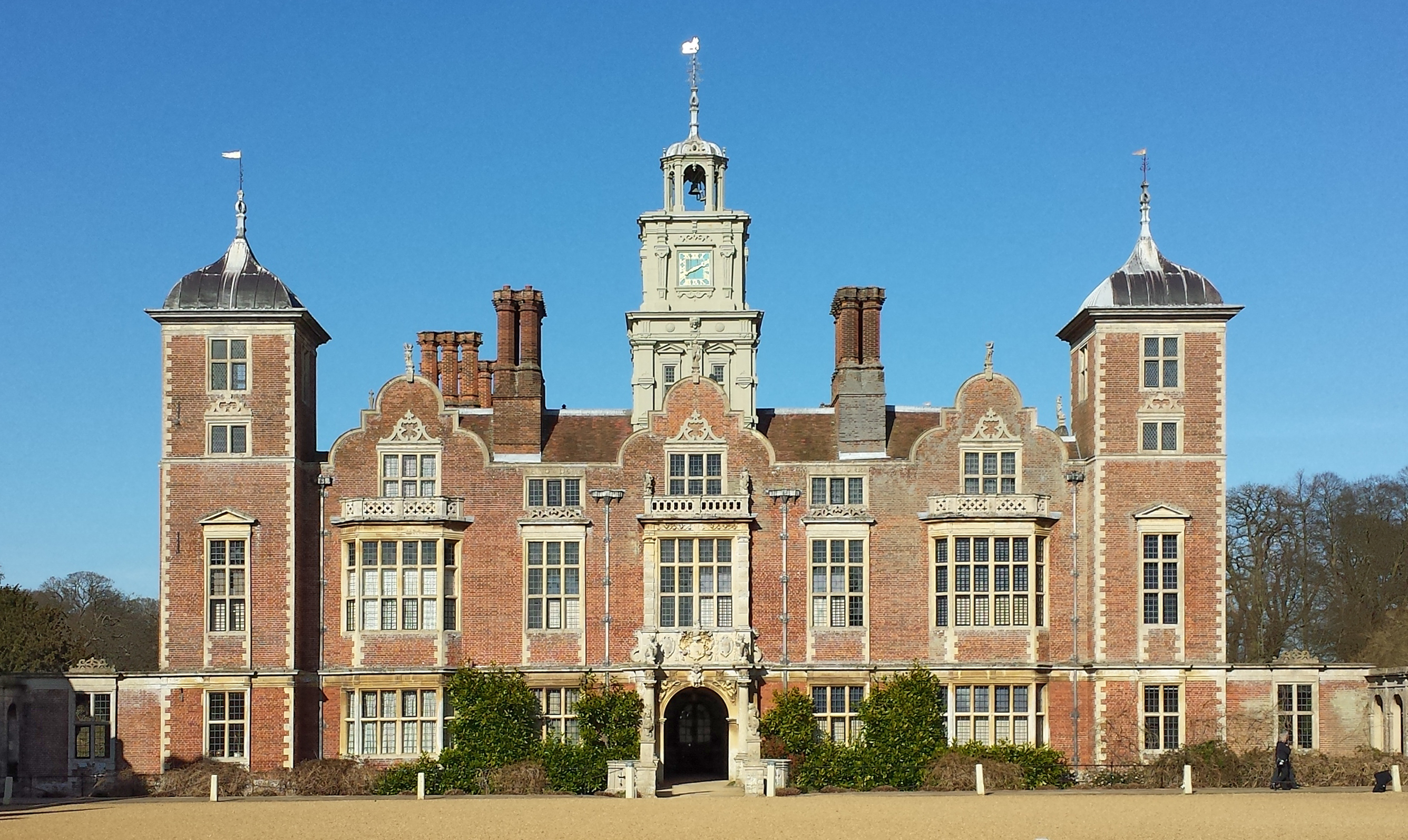
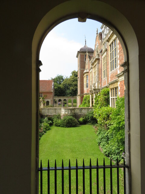
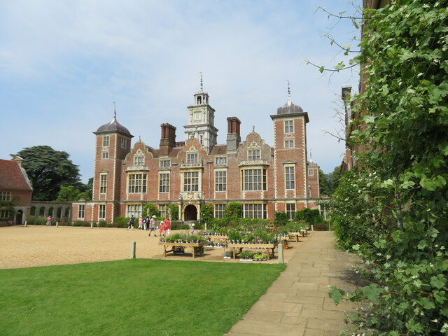
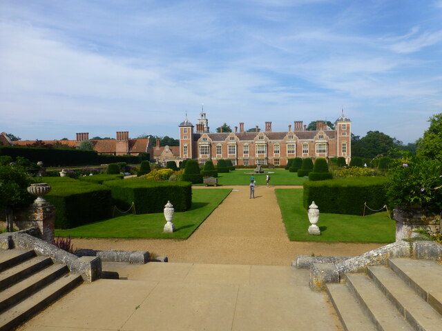
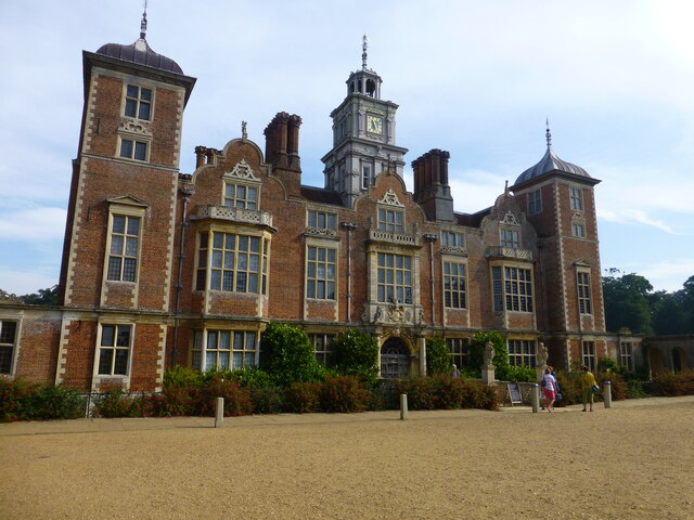
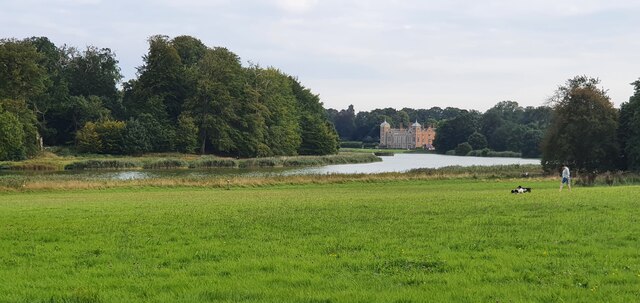
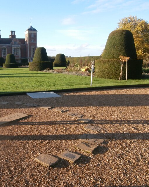
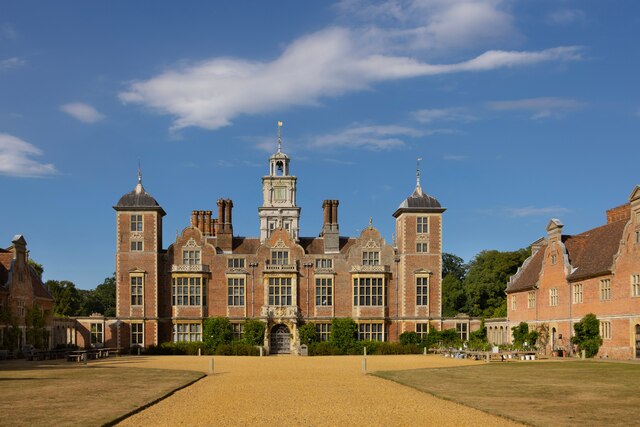
Blickling Hall
Blickling Hall is a Jacobean stately home situated in 5,000 acres of parkland in a loop of the River Bure, near the village of Blickling north of Aylsham...
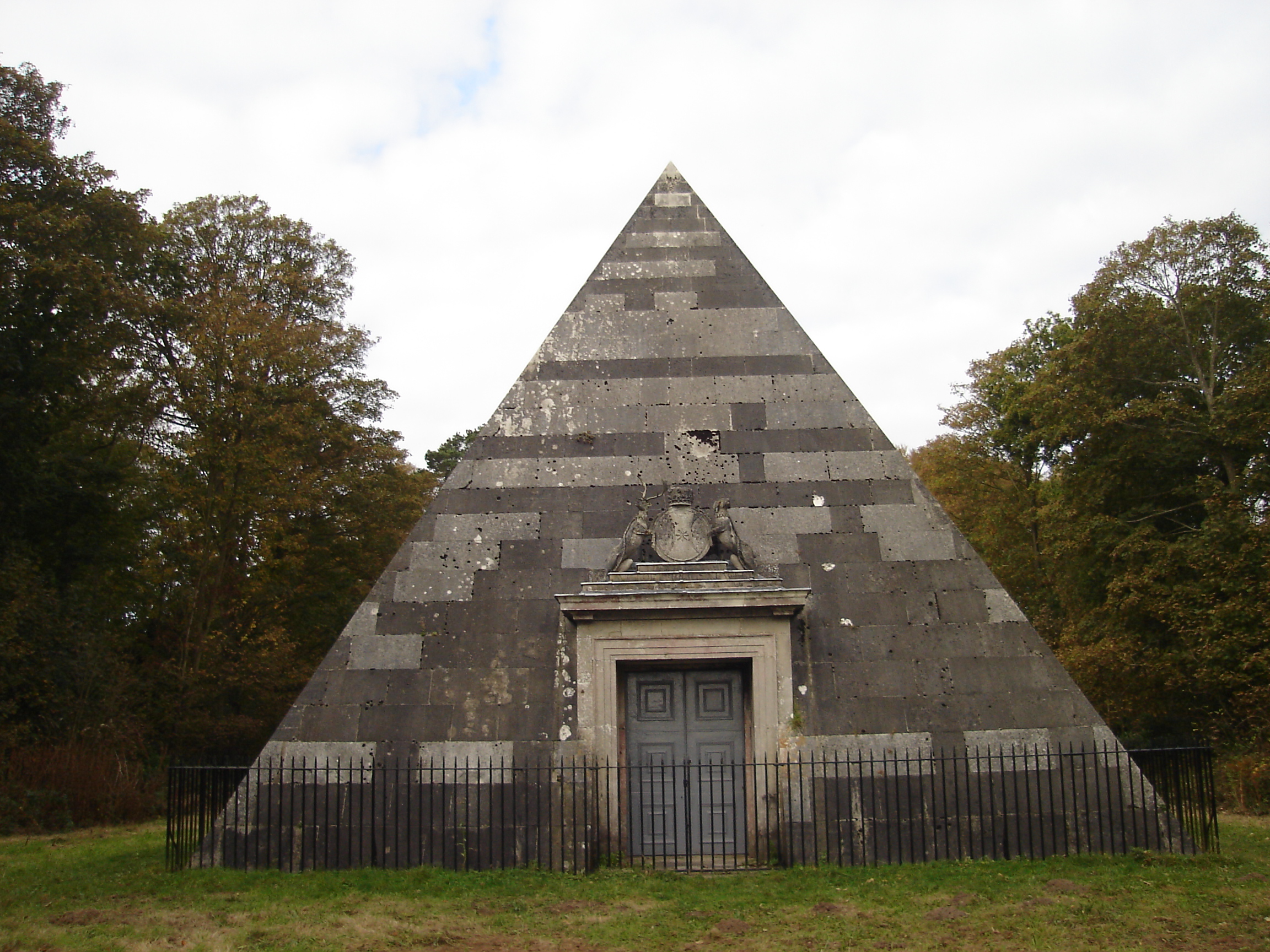
Blickling Park mausoleum
The Blickling Park mausoleum is a Grade II* listed building in the grounds of Blickling Hall, Norfolk, England. It was commissioned in 1793 by Lady Caroline...

Scarrow Beck
Scarrow Beck is a minor watercourse which rises in the north of the English county of Norfolk. It is a tributary of the River Bure. Its spring is in the...

Moorgate, Norfolk
Moorgate is a village to the north of Aylsham in the county of Norfolk, England.

Cawston Road Mill, Aylsham
Cawston Road Mill is a tower mill at Aylsham, Norfolk, England which has been truncated and converted for use as a holiday home. == History == Cawston...

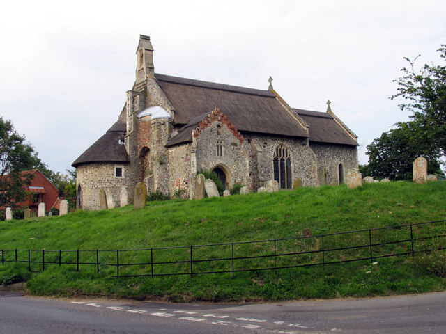
Church of St Michael, Aylsham
The Church of St Michael and All Angels, Aylsham, Norfolk, is a church of medieval origins that was built in the 14th century under the patronage of John...
Ingworth
Ingworth is a village and a civil parish in the English county of Norfolk. It is 1.7 miles (2.7 km) north of Aylsham, 14.3 miles (23.0 km) north of Norwich...
Nearby Amenities
Located within 500m of 52.808335,1.2302106Have you been to Icehouse Plantation?
Leave your review of Icehouse Plantation below (or comments, questions and feedback).