Chequers Wood

Wood, Forest in Kent Canterbury

England

Chequers Wood

The Coach House & Mill Lodge, Mill Road, Sturry The building used to be called <a href="https://www.geograph.org.uk/photo/5760133">TR1760 : The Coach House, 7, Mill Road, Sturry</a>, when it housed offices.
The Coach House & Mill Lodge, Mill Road, Sturry Credit: John Baker

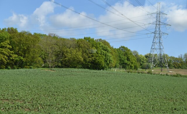
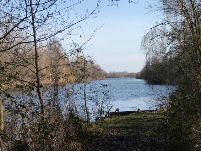
Chequers Wood is a picturesque woodland located in the county of Kent, England. Situated near the village of Brasted, the wood covers an area of approximately 40 hectares and is renowned for its natural beauty and diverse wildlife.

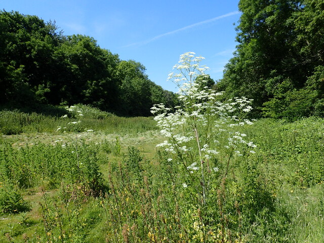
The wood is predominantly composed of deciduous trees, with oak, beech, and birch being the most common species. The dense canopy created by these trees provides a cool and shady environment, perfect for a leisurely stroll or a peaceful picnic. The forest floor is covered in a lush carpet of ferns, bluebells, and wildflowers during the spring and summer months, adding vibrant colors to the landscape.

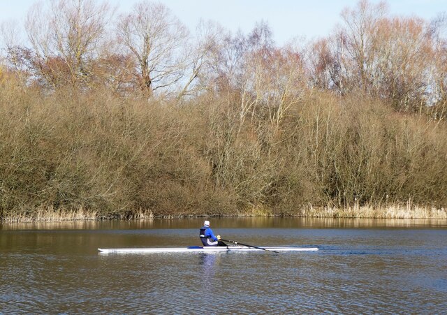
Chequers Wood is not only a haven for nature enthusiasts but also a habitat for a variety of wildlife. Visitors may be lucky enough to spot deer, foxes, squirrels, and numerous species of birds such as woodpeckers, owls, and jays. The wood is managed by local authorities to ensure the preservation of its natural habitat and the protection of its inhabitants.

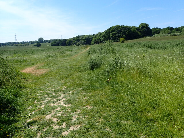
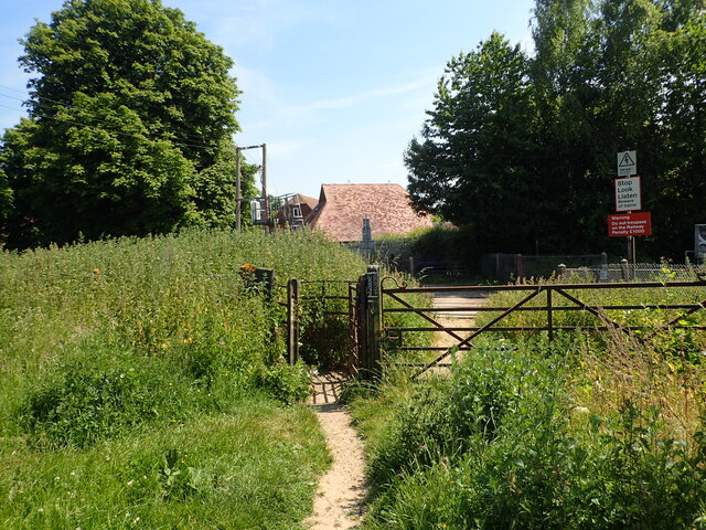
The woodland is easily accessible, with well-maintained footpaths and trails that allow visitors to explore its different sections. The wood is a popular destination for both locals and tourists, offering a peaceful retreat from the hustle and bustle of daily life.

Overall, Chequers Wood in Kent is a charming and scenic woodland that offers a tranquil escape for nature lovers, providing a unique opportunity to immerse oneself in the beauty of the natural world.

If you have any feedback on the listing, please let us know in the comments section below.

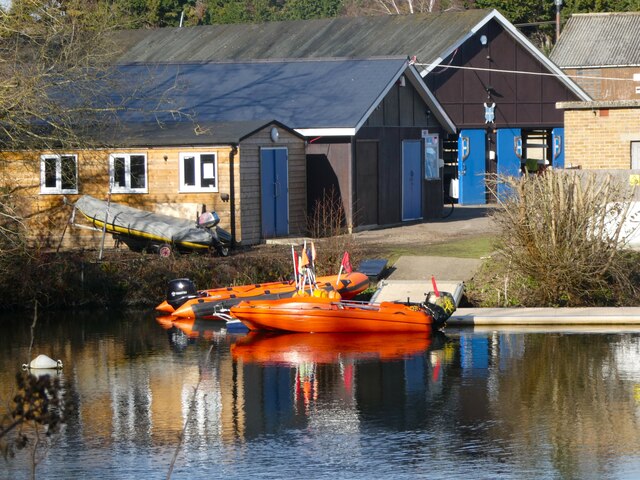
Chequers Wood Images

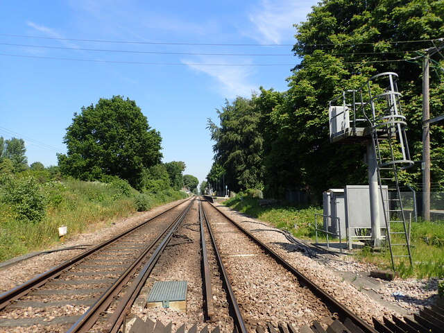
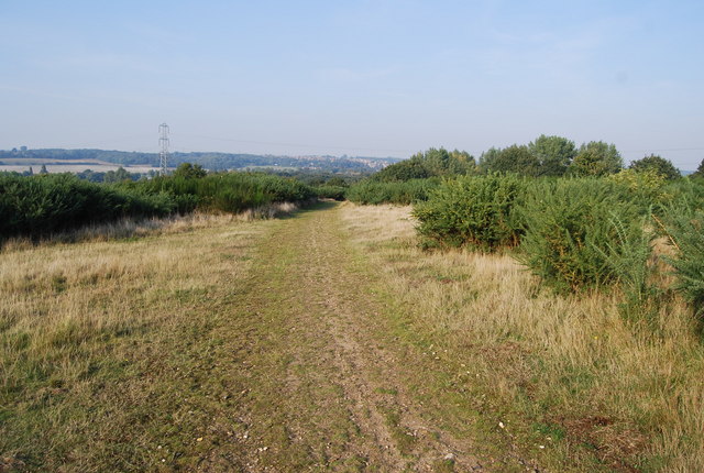
Images are sourced within 2km of 51.289069/1.1222298 or Grid Reference TR1759. Thanks to Geograph Open Source API. All images are credited.

The Coach House & Mill Lodge, Mill Road, Sturry The building used to be called <a href="https://www.geograph.org.uk/photo/5760133">TR1760 : The Coach House, 7, Mill Road, Sturry</a>, when it housed offices.
The Coach House & Mill Lodge, Mill Road, Sturry
The building used to be called TR1760 : The Coach House, 7, Mill Road, Sturry, when it housed offices.
Vape Minds, 16, High Street, Sturry The outlet used to be a <a href="https://www.geograph.org.uk/photo/5686977">TR1760 : Former co-operative shop, 16, High Street</a>.
Vape Minds, 16, High Street, Sturry
The Old Fire Station, High Street This view shows the <a href="https://www.geograph.org.uk/photo/5686964">TR1760 : Construction of flats, High Street</a>.
The Old Fire Station, High Street
17, High Street, Sturry Two notices were affixed to the front door; one referred to a warning of a forced entry notice and the other of a notice to quit
17, High Street, Sturry
Two notices were affixed to the front door; one referred to a warning of a forced entry notice and the other of a notice to quit
Farmland and pylon
Farmland and pylon
A28, Sturry The A28 is a 58 mile long road in southern England. It runs south-west from Margate in Kent to Hastings in East Sussex via  Canterbury, Ashford & Tenterden before joining the A21 <a href="https://www.geograph.org.uk/photo/5968545">TQ7913 : A21, A28 junction</a> .
<span class="nowrap"><a title="http://www.sabre-roads.org.uk/wiki/index.php?title=A28" rel="nofollow ugc noopener" href="http://www.sabre-roads.org.uk/wiki/index.php?title=A28">Link</a><img style="margin-left:2px;" alt="External link" title="External link - shift click to open in new window" src="https://s1.geograph.org.uk/img/external.png" width="10" height="10"/></span>
A28, Sturry
The A28 is a 58 mile long road in southern England. It runs south-west from Margate in Kent to Hastings in East Sussex via Canterbury, Ashford & Tenterden before joining the A21 TQ7913 : A21, A28 junction . LinkExternal link
Sculling at Westbere On the western tip of Westbere Marshes. The site is an extensive 95-acre wetland reserve consisting primarily of expanses of reedbed interspersed by ditches, ponds and stands of mature willow. It was a site of gravel extraction until the 1970s.
Sculling at Westbere
On the western tip of Westbere Marshes. The site is an extensive 95-acre wetland reserve consisting primarily of expanses of reedbed interspersed by ditches, ponds and stands of mature willow. It was a site of gravel extraction until the 1970s.
Westbere Marshes, near  Fordwich The western tip of Westbere Marshes. The site is an extensive 95-acre wetland reserve consisting primarily of expanses of reedbed interspersed by ditches, ponds and stands of mature willow. It was a site of gravel extraction until the 1970s.
Westbere Marshes, near Fordwich
The western tip of Westbere Marshes. The site is an extensive 95-acre wetland reserve consisting primarily of expanses of reedbed interspersed by ditches, ponds and stands of mature willow. It was a site of gravel extraction until the 1970s.
King's School Canterbury Boat Club, Sturry A rowing club based at Brett Sturry Quarry, Westbere Lakes.
King's School Canterbury Boat Club, Sturry
A rowing club based at Brett Sturry Quarry, Westbere Lakes.
View to Canterbury Where the footpath from Broad Oak to Sturry emerges from Den Grove Wood, this view towards Canterbury Cathedral is revealed.
View to Canterbury
Where the footpath from Broad Oak to Sturry emerges from Den Grove Wood, this view towards Canterbury Cathedral is revealed.
Footpath to Broad Oak The footpath from Sturry to Broad Oak enters Den Grove Wood here.
Footpath to Broad Oak
The footpath from Sturry to Broad Oak enters Den Grove Wood here.
A clearing in Den Grove Wood This view is from the footpath from Broad Oak to Sturry.
A clearing in Den Grove Wood
This view is from the footpath from Broad Oak to Sturry.
Footpath to Broad Oak The footpath from Sturry to Broad Oak enters Den Grove Wood a little way ahead.
Footpath to Broad Oak
The footpath from Sturry to Broad Oak enters Den Grove Wood a little way ahead.
Footpath across the railway This is the footpath from Broad Oak to Sturry just as it is about to cross the railway between Sturry and Canterbury West. Sturry station is just a short distance to the left - see <a title="www.geograph.org.uk/photo/7514215" href="https://www.geograph.org.uk/photo/7514215">Link</a>
Footpath across the railway
This is the footpath from Broad Oak to Sturry just as it is about to cross the railway between Sturry and Canterbury West. Sturry station is just a short distance to the left - see Link
Looking towards Sturry station On 6th February 1846, the South Eastern Railway began services from Ashford to Canterbury West and two months later in April 1846 services were extended though here to Ramsgate. Sturry station opened on 1st June 1847. Electric services started on 9th October 1961 and in December 2009, the line also became part of the Southeastern High Speed service to London St Pancras.

This view is from the foot crossing on the footpath from Broad Oak to Sturry. A train bound for London Charing Cross via Canterbury West, Ashford and Tonbridge is about to leave the station.
Looking towards Sturry station
On 6th February 1846, the South Eastern Railway began services from Ashford to Canterbury West and two months later in April 1846 services were extended though here to Ramsgate. Sturry station opened on 1st June 1847. Electric services started on 9th October 1961 and in December 2009, the line also became part of the Southeastern High Speed service to London St Pancras. This view is from the foot crossing on the footpath from Broad Oak to Sturry. A train bound for London Charing Cross via Canterbury West, Ashford and Tonbridge is about to leave the station.
Train leaving Sturry station On 6th February 1846, the South Eastern Railway began services from Ashford to Canterbury West and two months later in April 1846 services were extended though here to Ramsgate. Sturry station opened on 1st June 1847. Electric services started on 9th October 1961 and in December 2009, the line also became part of the Southeastern High Speed service to London St Pancras.

This view is from the foot crossing on the footpath from Broad Oak to Sturry. A train bound for London Charing Cross via Canterbury West, Ashford and Tonbridge is just leaving the station.
Train leaving Sturry station
On 6th February 1846, the South Eastern Railway began services from Ashford to Canterbury West and two months later in April 1846 services were extended though here to Ramsgate. Sturry station opened on 1st June 1847. Electric services started on 9th October 1961 and in December 2009, the line also became part of the Southeastern High Speed service to London St Pancras. This view is from the foot crossing on the footpath from Broad Oak to Sturry. A train bound for London Charing Cross via Canterbury West, Ashford and Tonbridge is just leaving the station.
Looking towards Sturry station On 6th February 1846, the South Eastern Railway began services from Ashford to Canterbury West and two months later in April 1846 services were extended though here to Ramsgate. Sturry station opened on 1st June 1847. Electric services started on 9th October 1961 and in December 2009, the line also became part of the Southeastern High Speed service to London St Pancras.

This view is from the foot crossing on the footpath from Broad Oak to Sturry. See also <a title="www.geograph.org.uk/photo/7514227" href="https://www.geograph.org.uk/photo/7514227">Link</a>
Looking towards Sturry station
On 6th February 1846, the South Eastern Railway began services from Ashford to Canterbury West and two months later in April 1846 services were extended though here to Ramsgate. Sturry station opened on 1st June 1847. Electric services started on 9th October 1961 and in December 2009, the line also became part of the Southeastern High Speed service to London St Pancras. This view is from the foot crossing on the footpath from Broad Oak to Sturry. See also Link
Footpath through Den Grove Wood This is soon after the footpath from Sturry to Broad Oak enters Den Grove Wood.
Footpath through Den Grove Wood
This is soon after the footpath from Sturry to Broad Oak enters Den Grove Wood.
Show me another place!

Chequers Wood is located at Grid Ref: TR1759 (Lat: 51.289069, Lng: 1.1222298)

Administrative County: Kent

District: Canterbury

Police Authority: Kent

What 3 Words

///margin.input.photos. Near Sturry, Kent

Nearby Locations

Chequers Wood

Related Wikis

Chequer's Wood and Old Park

Chequer's Wood and Old Park is a 106.9-hectare (264-acre) biological and geological Site of Special Scientific Interest on the eastern outskirts of Canterbury...

Fordwich

Fordwich is a market town and a civil parish in east Kent, England, on the River Stour, northeast of Canterbury. It is the smallest community by population...

Fordwich Town Hall

Fordwich Town Hall is a municipal structure in King Street, Fordwich, Kent, England. The structure, which serves as the meeting place of Fordwich Town...

Church of St Mary the Virgin, Fordwich

The Church of St Mary the Virgin is a redundant Anglican church in the small town of Fordwich, Kent, England. It is recorded in the National Heritage...

Nearby Amenities

Located within 500m of 51.289069,1.1222298
Post Box
Postal Code: CT3
Ref: CT3 204
Source: survey
Lat/Long: 51.2862139/1.1272175
Power: tower
Lat/Long: 51.2882811/1.1250762
Power: tower
Lat/Long: 51.2897389/1.1203556
Power: pole
Lat/Long: 51.2875942/1.1288855
Power: pole
Lat/Long: 51.2892683/1.1262918
Power: pole
Lat/Long: 51.2886929/1.127075
Power: pole
Lat/Long: 51.2903905/1.1246798
Power: pole
Lat/Long: 51.2898185/1.1254952
Power: pole
Lat/Long: 51.2930172/1.1209998
Power: pole
Lat/Long: 51.29241/1.1218501
Power: pole
Lat/Long: 51.2918028/1.1227165
Power: pole
Lat/Long: 51.2881411/1.1279816
Power: pole
Lat/Long: 51.2911084/1.1236713
Power: pole
Lat/Long: 51.2887911/1.1272279
Power: pole
Lat/Long: 51.2903955/1.1249373
Power: pole
Lat/Long: 51.2925039/1.122003
Power: pole
Lat/Long: 51.2910883/1.1239771
Power: pole
Lat/Long: 51.2900751/1.1254308
Power: pole
Lat/Long: 51.2931916/1.1210428
Power: pole
Lat/Long: 51.2894696/1.126281
Power: pole
Lat/Long: 51.2881042/1.1283491
Power: pole
Lat/Long: 51.2918263/1.1229659
Power: pole
Lat/Long: 51.2903302/1.1279172
Power: pole
Lat/Long: 51.2904836/1.1267544
Power: pole
Lat/Long: 51.2906128/1.1257231
Location Transition: yes
Power: pole
Lat/Long: 51.2906413/1.1253865
Location Transition: yes
Power: pole
Lat/Long: 51.2906027/1.1238845
Power: pole
Lat/Long: 51.2901356/1.1223797
Power: pole
Lat/Long: 51.2898387/1.1213364
Power: pole
Lat/Long: 51.2907017/1.1205451
Power: pole
Lat/Long: 51.2923128/1.1190739
The data included in this document is from www.openstreetmap.org. The data is made available under ODbL.

Have you been to Chequers Wood?

Leave your review of Chequers Wood below (or comments, questions and feedback).