Farm Copse

Wood, Forest in Norfolk South Norfolk

England

Farm Copse

St Remigius Church, Hethersett
St Remigius Church, Hethersett Credit: Helen Steed

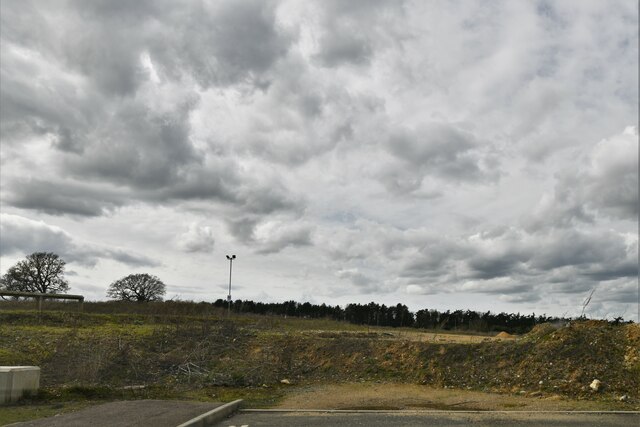
Farm Copse is a small wood or forest located in the county of Norfolk, England. It covers an area of approximately 10 acres and is situated in a rural setting, surrounded by agricultural fields and farmland. The copse is predominantly made up of deciduous trees, such as oak, beech, and ash, with a few coniferous trees scattered throughout.

The woodland is home to a diverse range of flora and fauna. The forest floor is covered in a carpet of wildflowers, including bluebells, primroses, and foxgloves, providing a vibrant display of colors during the spring and summer months. The trees provide a habitat for various bird species, such as woodpeckers, owls, and songbirds, as well as small mammals like squirrels and rabbits.

Farm Copse serves as an important ecological feature in the local landscape, providing a sheltered habitat for wildlife and contributing to the overall biodiversity of the area. It also acts as a natural buffer, protecting the surrounding farmland from strong winds and erosion.

The copse is accessible to the public and offers opportunities for walking, birdwatching, and enjoying the peaceful surroundings. There are well-maintained footpaths that wind through the woods, allowing visitors to explore and appreciate the beauty of the natural environment.

Overall, Farm Copse is a small but significant woodland in Norfolk, offering a tranquil retreat for both wildlife and humans alike.

If you have any feedback on the listing, please let us know in the comments section below.

Farm Copse Images

Images are sourced within 2km of 52.607135/1.2140137 or Grid Reference TG1705. Thanks to Geograph Open Source API. All images are credited.

St Remigius Church, Hethersett
Interior of St Remigius Church, Hethersett
War memorial in the grounds of St Remigius Church, Hethersett
Names on the Hethersett war memorial - 1
Names on the Hethersett war memorial - 2
Names on the Hethersett war memorial - 3
Names on the Hethersett war memorial - 4
Names on the Hethersett war memorial - 5
War memorial inside St Remigius Church, Hethersett
Footbridge over the A47 west approaching junction with A11
Slip road leaving the A47 to join the A11
The A11 west approaching junction for Ketteringham
The A11 west . 22 miles to Thetford
Colney, Norfolk and Norwich University Hospitals: The Quadram Institute
Colney, Norfolk and Norwich University Hospitals: The Quadram Institute car park
Colney, Norfolk and Norwich University Hospitals: The Quadram Institute car park payment area
Colney, Norfolk and Norwich University Hospitals: Where development of this site ends
Show me another place!

Farm Copse is located at Grid Ref: TG1705 (Lat: 52.607135, Lng: 1.2140137)

Administrative County: Norfolk

District: South Norfolk

Police Authority: Norfolk

What 3 Words

///along.august.petal. Near Cringleford, Norfolk

Related Wikis

Norwich City F.C. Under-23s and Academy

Norwich City Under-21s and Academy is the youth organisation run by Norwich City F.C. The team is made up of under-21 and academy players and is effectively...

Norfolk and Norwich University Hospital

The Norfolk and Norwich University Hospital (NNUH) is a large National Health Service academic teaching hospital in the Norwich Research Park on the western...

Little Melton

Little Melton is a village on the outskirts of Norwich in the South Norfolk district of Norfolk, England. It covers an area of 2.75 km2 (1.06 sq mi) and...
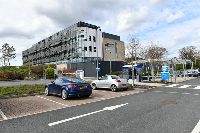
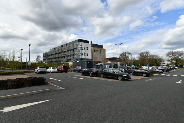
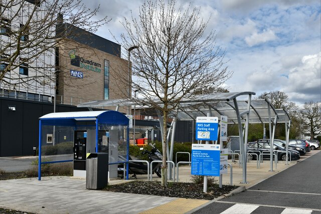
Quadram Institute

The Quadram Institute is a centre for food and health research, combining Quadram Institute Bioscience (formerly the Institute of Food Research), the Norfolk...

Hethersett railway station

Hethersett was a railway station near Hethersett, Norfolk. == History == The Bill for the Norwich & Brandon Railway (N&BR) received Royal Assent on 10...

Norwich Research Park

Norwich Research Park is a business community located to the southwest of Norwich in East Anglia close to the A11 and the A47 roads. Set in over 230 hectares...

Cringleford

Cringleford is a civil parish and village in the English county of Norfolk. The village sits on the River Yare and forms part of the outskirts of Norwich...

Sainsbury Centre for Visual Arts

The Sainsbury Centre is an art gallery and museum located on the campus of the University of East Anglia, Norwich, England. The building, which contains...

Nearby Amenities

Located within 500m of 52.607135,1.2140137
Motorway Junction
Thickthorn Interchange
Lat/Long: 52.6070966/1.2206157
Power: tower
Ref: 4VV 207
Lat/Long: 52.6085915/1.214118
Power: tower
Ref: 4VV 208
Lat/Long: 52.6077969/1.2192065
Power: tower
Ref: 4VV 209
Lat/Long: 52.6050864/1.2204321
Power: tower
Ref: 4VV 206
Lat/Long: 52.6095452/1.2087402
Bus Stop
Thickthorn / Norwich Road
Naptan AtcoCode: 2900H2214
Naptan Bearing: E
Naptan CommonName: Cottages
Naptan Indicator: adj
Naptan Latitude: 52.6043355
Naptan Locality: Thickthorn
Naptan Longitude: 1.218362
Naptan NaptanCode: nfoawgmt
Naptan PlusbusZoneRef: NRCH
Naptan Street: Norwich Road
Physically Present: no
Shelter: no
Source: naptan_import;survey
Lat/Long: 52.6042547/1.2184371
Bus Stop
Thickthorn / Norwich Road
Naptan AtcoCode: 2900H2215
Naptan Bearing: W
Naptan CommonName: Cottages
Naptan Indicator: opp
Naptan Locality: Thickthorn
Naptan NaptanCode: nfoawgmw
Naptan PlusbusZoneRef: NRCH
Naptan Street: Norwich Road
Operator: Norfolk County Council
Ref: NFOAWGMW
Shelter: no
Source: naptan_import;survey
Lat/Long: 52.604131/1.2184358
Milestone
Distance Norwich: 4 mi
Distance Thetford: 25 mi
Marker: stone
Lat/Long: 52.604128/1.2181479
Post Box
Collection Times: Mo-Fr 16:45; Sa 09:15
Operator: Royal Mail
Operator Wikidata: Q638098
Post Box Type: lamp
Ref: NR9 903
Royal Cypher: EIIR
Royal Cypher Wikidata: Q33102113
Lat/Long: 52.603795/1.2131666
Crossing
Bicycle: yes
Crossing: unmarked
Tactile Paving: no
Lat/Long: 52.6038192/1.2137104
John Kemp Ltd
Description: 4x4 specialists
Opening Hours: Mo-Fr 08:30-17:30; Sa 09:00-16:30; Su,PH appointment
Phone: +44 1603 508333
Second Hand: only
Shop: car
Website: https://www.kemp4x4s.co.uk/
Lat/Long: 52.6043931/1.2134823
Entrance: main
Lat/Long: 52.6041554/1.2139498
The data included in this document is from www.openstreetmap.org. The data is made available under ODbL.

Have you been to Farm Copse?

Leave your review of Farm Copse below (or comments, questions and feedback).