Kemberland Wood

Wood, Forest in Kent Canterbury

England

Kemberland Wood

European bison, Wildwood, Herne They have a close resemblance to their American cousin but are a separate species. Heaviest wild land animal in Europe. Historically, it could be found throughout western, central and south eastern Europe, but suffered wide scale extinction by 1920s. Currently, there are semi-wild herds in Eastern Europe and Russia following reintroductions
European bison, Wildwood, Herne Credit: pam fray

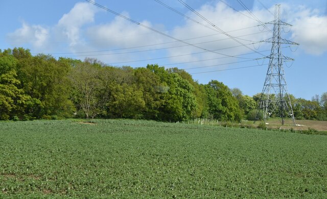
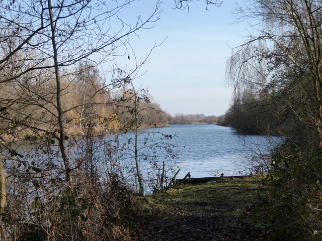
Kemberland Wood is a charming forest located in the county of Kent, England. Covering an area of approximately 200 acres, this woodland is a popular destination for nature enthusiasts and outdoor lovers. The wood is situated near the village of Kemberland, surrounded by picturesque countryside and rolling hills.

Kemberland Wood boasts a diverse range of flora and fauna, making it an ideal habitat for various species. The forest is predominantly composed of broadleaf trees, including oak, beech, and ash. The dense canopy created by these trees provides a cool and shaded environment, perfect for long walks and peaceful picnics.

The woodland floor is carpeted with an array of wildflowers and ferns, adding to the beauty and biodiversity of the area. Visitors can expect to see bluebells, primroses, and wood anemones during the spring months. The wood is also home to a myriad of wildlife, including deer, foxes, and numerous bird species.

There are several well-maintained trails that wind through the wood, offering visitors the opportunity to explore its natural wonders. These paths are suitable for both walking and cycling, catering to individuals of all fitness levels. Additionally, there are designated picnic areas and benches scattered throughout the wood, allowing visitors to take a break and soak in the peaceful surroundings.

Kemberland Wood is a true haven for nature lovers, providing a tranquil escape from the hustle and bustle of everyday life. Whether it's a leisurely stroll, a family picnic, or birdwatching, this enchanting forest offers something for everyone to enjoy.

If you have any feedback on the listing, please let us know in the comments section below.

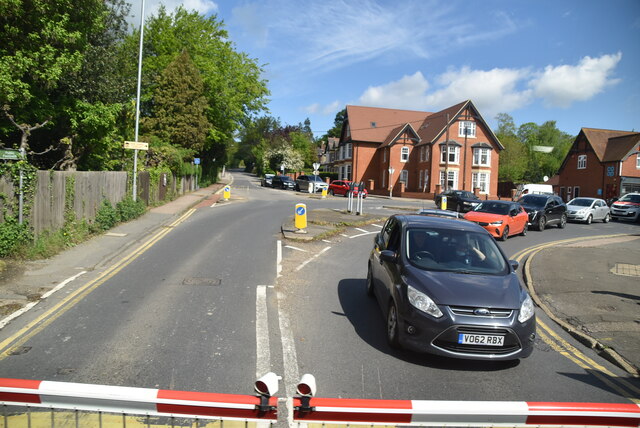
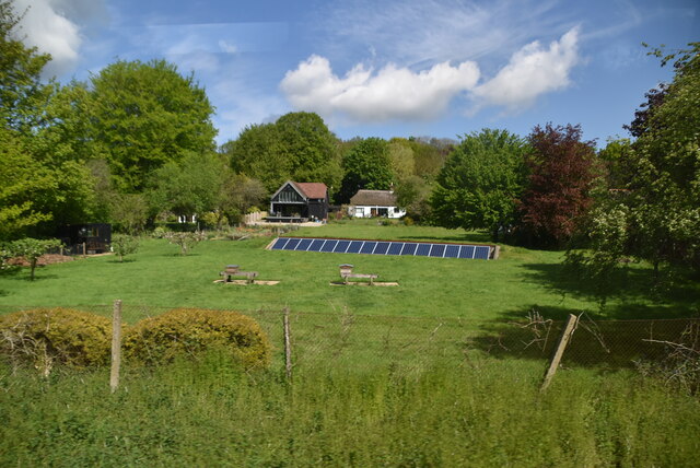
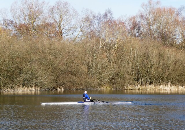
Kemberland Wood Images

Images are sourced within 2km of 51.315095/1.1220743 or Grid Reference TR1761. Thanks to Geograph Open Source API. All images are credited.

European bison, Wildwood, Herne They have a close resemblance to their American cousin but are a separate species. Heaviest wild land animal in Europe. Historically, it could be found throughout western, central and south eastern Europe, but suffered wide scale extinction by 1920s. Currently, there are semi-wild herds in Eastern Europe and Russia following reintroductions
European bison, Wildwood, Herne
They have a close resemblance to their American cousin but are a separate species. Heaviest wild land animal in Europe. Historically, it could be found throughout western, central and south eastern Europe, but suffered wide scale extinction by 1920s. Currently, there are semi-wild herds in Eastern Europe and Russia following reintroductions
Fallow deer, Wildwood, Herne Introduced to Britain by the Roman Empire, but again later on by the Normans in the 11th century. Originally they were kept in deer parks for entertainment purposes, however once popularity of the species declined, interest also declined and there were a number of escapees. Although not technically native, they are regarded as naturalised in the UK and are now widespread.
Fallow deer, Wildwood, Herne
Introduced to Britain by the Roman Empire, but again later on by the Normans in the 11th century. Originally they were kept in deer parks for entertainment purposes, however once popularity of the species declined, interest also declined and there were a number of escapees. Although not technically native, they are regarded as naturalised in the UK and are now widespread.
A soay sheep, Wildwood, Herne Small, hardy breed of domestic sheep. Normally brown in colour with lighter faces, underside and rumps. Descended from a population of feral sheep found on the Scottish Island of Soay. Have since been transported to other UK islands and mainland UK. They shed their wool naturally so there is no need for shearing.
A soay sheep, Wildwood, Herne
Small, hardy breed of domestic sheep. Normally brown in colour with lighter faces, underside and rumps. Descended from a population of feral sheep found on the Scottish Island of Soay. Have since been transported to other UK islands and mainland UK. They shed their wool naturally so there is no need for shearing.
Mortar & Pestle, Island Road Planning permission has been granted by Canterbury City Council under application number CA/20/00761 for “proposed 10 detached two-storey dwellings with associated access, parking and landscaping”.
Mortar & Pestle, Island Road
Planning permission has been granted by Canterbury City Council under application number CA/20/00761 for “proposed 10 detached two-storey dwellings with associated access, parking and landscaping”.
Orchard View, Sweechgate This view shows <a href="https://www.geograph.org.uk/photo/5665411">TR1661 : Orchard View, Sweechgate</a>, when the site was under construction
Orchard View, Sweechgate
This view shows TR1661 : Orchard View, Sweechgate, when the site was under construction
Close, Sweechgate The green noticeboard directs visitors to The Granary, Orchard House, Pond Bungalow and The Old Granary.
Close, Sweechgate
The green noticeboard directs visitors to The Granary, Orchard House, Pond Bungalow and The Old Granary.
83, Sweechgate Prior approval has been granted by Canterbury City Council under application number CA/21/00230 for an “application under the prior approval process for first floor extension with a maximum height of no more than 3.5 metres, where the existing dwelling house consists of one storey”.
83, Sweechgate
Prior approval has been granted by Canterbury City Council under application number CA/21/00230 for an “application under the prior approval process for first floor extension with a maximum height of no more than 3.5 metres, where the existing dwelling house consists of one storey”.
The Coach House & Mill Lodge, Mill Road, Sturry The building used to be called <a href="https://www.geograph.org.uk/photo/5760133">TR1760 : The Coach House, 7, Mill Road, Sturry</a>, when it housed offices.
The Coach House & Mill Lodge, Mill Road, Sturry
The building used to be called TR1760 : The Coach House, 7, Mill Road, Sturry, when it housed offices.
Vape Minds, 16, High Street, Sturry The outlet used to be a <a href="https://www.geograph.org.uk/photo/5686977">TR1760 : Former co-operative shop, 16, High Street</a>.
Vape Minds, 16, High Street, Sturry
The Old Fire Station, High Street This view shows the <a href="https://www.geograph.org.uk/photo/5686964">TR1760 : Construction of flats, High Street</a>.
The Old Fire Station, High Street
17, High Street, Sturry Two notices were affixed to the front door; one referred to a warning of a forced entry notice and the other of a notice to quit
17, High Street, Sturry
Two notices were affixed to the front door; one referred to a warning of a forced entry notice and the other of a notice to quit
Farmland and pylon
Farmland and pylon
A28, Sturry The A28 is a 58 mile long road in southern England. It runs south-west from Margate in Kent to Hastings in East Sussex via  Canterbury, Ashford & Tenterden before joining the A21 <a href="https://www.geograph.org.uk/photo/5968545">TQ7913 : A21, A28 junction</a> .
<span class="nowrap"><a title="http://www.sabre-roads.org.uk/wiki/index.php?title=A28" rel="nofollow ugc noopener" href="http://www.sabre-roads.org.uk/wiki/index.php?title=A28">Link</a><img style="margin-left:2px;" alt="External link" title="External link - shift click to open in new window" src="https://s1.geograph.org.uk/img/external.png" width="10" height="10"/></span>
A28, Sturry
The A28 is a 58 mile long road in southern England. It runs south-west from Margate in Kent to Hastings in East Sussex via Canterbury, Ashford & Tenterden before joining the A21 TQ7913 : A21, A28 junction . LinkExternal link
Solar panels, Westbere
Broad Oak (Canterbury) Village Sign Village sign
Broad Oak (Canterbury) Village Sign
Village sign
Sculling at Westbere On the western tip of Westbere Marshes. The site is an extensive 95-acre wetland reserve consisting primarily of expanses of reedbed interspersed by ditches, ponds and stands of mature willow. It was a site of gravel extraction until the 1970s.
Sculling at Westbere
On the western tip of Westbere Marshes. The site is an extensive 95-acre wetland reserve consisting primarily of expanses of reedbed interspersed by ditches, ponds and stands of mature willow. It was a site of gravel extraction until the 1970s.
Westbere Marshes, near  Fordwich The western tip of Westbere Marshes. The site is an extensive 95-acre wetland reserve consisting primarily of expanses of reedbed interspersed by ditches, ponds and stands of mature willow. It was a site of gravel extraction until the 1970s.
Westbere Marshes, near Fordwich
The western tip of Westbere Marshes. The site is an extensive 95-acre wetland reserve consisting primarily of expanses of reedbed interspersed by ditches, ponds and stands of mature willow. It was a site of gravel extraction until the 1970s.
King's School Canterbury Boat Club, Sturry A rowing club based at Brett Sturry Quarry, Westbere Lakes.
King's School Canterbury Boat Club, Sturry
A rowing club based at Brett Sturry Quarry, Westbere Lakes.
Show me another place!

Kemberland Wood is located at Grid Ref: TR1761 (Lat: 51.315095, Lng: 1.1220743)

Administrative County: Kent

District: Canterbury

Police Authority: Kent

What 3 Words

///prickly.loser.stickler. Near Sturry, Kent

Nearby Locations

Kemberland Wood

Related Wikis

Calcott, Kent

Calcott is a hamlet in Sturry parish, in the Canterbury District of the English county of Kent. It lies on the A291 road, about 1+1⁄2 miles (2.4 km) north...
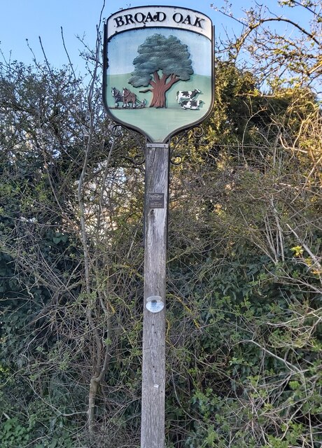
Broad Oak, Kent

Broad Oak is a village in Sturry parish, Kent, England. It lies west of the A291 road to Herne Bay; the centre of the village is about half a mile northwest...

Sturry Pit

Sturry Pit is a 0.7 hectares (1.7 acres) geological Site of Special Scientific Interest north-east of Canterbury in Kent. It is a Geological Conservation...

Sturry

Sturry is a village on the Great Stour river situated 3 miles (4.8 km) northeast of Canterbury in Kent. Its large civil parish incorporates several hamlets...

Related Videos

Fordwich & Sturry, a Walking History Tour Guide Using Old Postcards Kent UK

Fordwich, (the smallest English town) and Sturry, Kent, UK, A walking history tour guide of Fordwich and Sturry using old ...

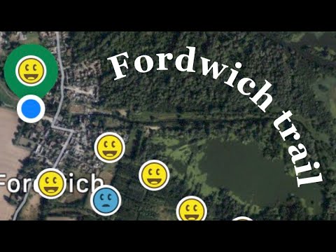
Fordwich, Kent wood walk and camping kit review

A lovely 4 and a bit mile geo-cache walk through Fordwich, Kent whilst also trying out new camping kit.

FIRST walk in 5 MONTHS!!!

This was my first group walk in 5 months and it felt so good. Walking as a group feels like the most natural fun thing to do and I am ...

I Visited Britain's Smallest Town, Fordwich

I visited Britain's Smallest Town, a small town on the outskirts of Canterbury, Kent. The town is called Fordwich. We continue ...

Nearby Amenities

Located within 500m of 51.315095,1.1220743
Power: pole
Lat/Long: 51.311804/1.1246125
Power: pole
Lat/Long: 51.3123821/1.1258828
Power: pole
Lat/Long: 51.3112575/1.1233465
Power: pole
Lat/Long: 51.3107511/1.1221663
Power: pole
Lat/Long: 51.3126121/1.1273859
Barrier: stile
Foot: yes
Source: survey
Lat/Long: 51.3183637/1.1262285
SH FID 11
Power: tower
Lat/Long: 51.3164469/1.1186448
SH FID 12
Power: tower
Lat/Long: 51.3171552/1.1238555
The data included in this document is from www.openstreetmap.org. The data is made available under ODbL.

Have you been to Kemberland Wood?

Leave your review of Kemberland Wood below (or comments, questions and feedback).