Glebe Wood

Wood, Forest in Essex Tendring

England

Glebe Wood

Stone's Green Road Looking towards Great Oakley at Barn Cottage.
Stone's Green Road Credit: Glyn Baker

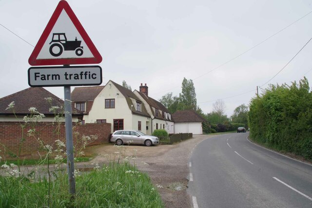
Glebe Wood, located in Essex, is a picturesque forest that spans across a vast area. The wood is known for its stunning natural beauty and provides a tranquil retreat for nature enthusiasts and wildlife lovers alike. With an approximate area of 100 acres, Glebe Wood offers a diverse range of flora and fauna.

The woodland is predominantly composed of various species of deciduous trees, including oak, beech, and ash. These towering trees provide ample shade and create a serene atmosphere. The forest floor is adorned with a carpet of vibrant wildflowers during the spring and summer months, adding to the wood's charm.

Glebe Wood is home to a plethora of wildlife, making it a popular destination for birdwatchers and animal enthusiasts. Visitors can spot a wide variety of bird species, such as woodpeckers, owls, and finches, among others. Additionally, the wood provides a habitat for mammals like foxes, badgers, and deer.

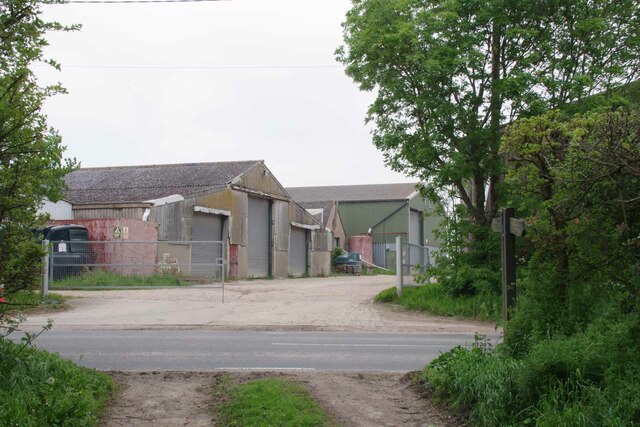
The wood is also a haven for recreational activities, with a network of well-maintained trails that allow visitors to explore its beauty. Walking, jogging, and cycling are popular pastimes in Glebe Wood, providing an opportunity to immerse oneself in nature.

Furthermore, the wood is managed by a local conservation group, ensuring its preservation and protection. Regular maintenance helps maintain the wood's natural integrity and promotes the growth of indigenous plant species.

Glebe Wood, with its enchanting landscape and abundant wildlife, serves as a cherished natural gem in Essex, attracting visitors from near and far to experience its tranquility and beauty.

If you have any feedback on the listing, please let us know in the comments section below.

Glebe Wood Images

Images are sourced within 2km of 51.888442/1.1593814 or Grid Reference TM1725. Thanks to Geograph Open Source API. All images are credited.

Stone's Green Road Looking towards Great Oakley at Barn Cottage.
Stone's Green Road
Looking towards Great Oakley at Barn Cottage.
Orchard at Brook Farm Taken from Stone's Green Road.
Orchard at Brook Farm
Taken from Stone's Green Road.
All Saints Great Oakley This church was founded in 1190. Peter Stack's photo <a href="https://www.geograph.org.uk/photo/2039954">TM1827 : All Saints Church, Great Oakley, Essex</a> clearly shows the brick facing on the west elevation of the tower and the weather-boarded cap and tiled roof to the tower.
All Saints Great Oakley
This church was founded in 1190. Peter Stack's photo TM1827 : All Saints Church, Great Oakley, Essex clearly shows the brick facing on the west elevation of the tower and the weather-boarded cap and tiled roof to the tower.
Footpath 1 Beaumont Cum Moze Just outside Little Oakley.
Footpath 1 Beaumont Cum Moze
Just outside Little Oakley.
Rapeseed and Footpath 159_1 Looking towards Beaumont Cum Moze.
Rapeseed and Footpath 159_1
Looking towards Beaumont Cum Moze.
Footpath 2 Beaumont Cum Moze The footpath to Cross Hill. Clearly a path less followed, the footbridge over the ditch has almost vanished under brambles.
Footpath 2 Beaumont Cum Moze
The footpath to Cross Hill. Clearly a path less followed, the footbridge over the ditch has almost vanished under brambles.
Cottages on Harwich Road Looking towards Beaumont Cum Moze on the B1414.
Cottages on Harwich Road
Looking towards Beaumont Cum Moze on the B1414.
Glebehill Cottages on the B1414 The track to the left leads to farmland.
Glebehill Cottages on the B1414
The track to the left leads to farmland.
Footpath 159_11 Past Horseshoes The seat in the garden was decorated with carved horseshoes reflecting the name of the property.
Footpath 159_11 Past Horseshoes
The seat in the garden was decorated with carved horseshoes reflecting the name of the property.
Beaumont Cum Moze Footpath 11 The path crosses the B1414 then joins up with Great Oakley footpath 7 and finally ends up at <a href="https://www.geograph.org.uk/photo/7484308">TM1926 : Footpath 1 Beaumont Cum Moze</a> outside Great Oakley.
Beaumont Cum Moze Footpath 11
The path crosses the B1414 then joins up with Great Oakley footpath 7 and finally ends up at TM1926 : Footpath 1 Beaumont Cum Moze outside Great Oakley.
Old Barn and Footpath 159_10 Beaumont Cum Moze footpath 10 and decaying barn.
Old Barn and Footpath 159_10
Beaumont Cum Moze footpath 10 and decaying barn.
Beaumont Cum Moze Footpath 26 The last house in the terrace is getting an extension.
Beaumont Cum Moze Footpath 26
The last house in the terrace is getting an extension.
Coronation Villas Beaumont Cum Moze Every one of the houses has been so stripped of original features it is very difficult to work out which coronation was being marked. 1902, 1911 or 1937 . However they do look pre WW2.
Coronation Villas Beaumont Cum Moze
Every one of the houses has been so stripped of original features it is very difficult to work out which coronation was being marked. 1902, 1911 or 1937 . However they do look pre WW2.
Old School House Panorama The thatched house is the old school in Beaumont Cum Moze.
Old School House Panorama
The thatched house is the old school in Beaumont Cum Moze.
Farm Track near Northfield Farm
The Way to Lower Barn Farm Clearly the far has diversified and rents out industrial units.
The Way to Lower Barn Farm
Clearly the far has diversified and rents out industrial units.
Old Plough at Willow Tree Cottage Looking towards Great Oakley on the Harwich Road.
Old Plough at Willow Tree Cottage
Looking towards Great Oakley on the Harwich Road.
Flush Bracket Bench Mark Bench mark located on church
Flush Bracket Bench Mark
Bench mark located on church
Show me another place!

Glebe Wood is located at Grid Ref: TM1725 (Lat: 51.888442, Lng: 1.1593814)

Administrative County: Essex

District: Tendring

Police Authority: Essex

What 3 Words

///wiping.basically.blotches. Near Thorpe le Soken, Essex

Nearby Locations

Oak Corner Glebe Wood

Related Wikis

Beaumont-cum-Moze

Beaumont-cum-Moze (grid reference TM175250) is a civil parish in the Tendring district of Essex, England. According to the 2001 census it had a population...

Stones Green

Stones Green is a hamlet near the village of Wix and the town of Harwich, in the Tendring district, in the English county of Essex. == References == A...

Beaumont Cut

Beaumont Cut was a 1-kilometre-long (1,090 yd) canal linking Beaumont Quay, in the parish of Beaumont-cum-Moze, Tendring, Essex, England, with Hamford...

Great Oakley, Essex

Great Oakley is a village and civil parish in the Tendring district of Essex, England. It is a long, narrow parish lying on the top of a low (25 m) ridge...

Wix, Essex

Wix is a village and civil parish in the Tendring district of north-east Essex, England. It lies in a small valley about 2 miles (3 km) south of the Stour...

Landermere Wharf

Landermere Wharf, sometimes called Landermere Quay, is a former dock area suitable for lying at anchor in the Tendring district of Essex, England.The wharf...

Comarques, Thorpe-le-Soken

Comarques is an 18th-century country house in Thorpe-le-Soken, Essex, England. It has been attributed to the architect, Sir Robert Taylor. Named after...

Wix Priory

Wix Priory was a Benedictine nunnery in Wix, Essex, England, founded in around 1125–1135 and dissolved in 1525. The buildings have not survived except...

Nearby Amenities

Located within 500m of 51.888442,1.1593814
Operator: Royal Mail
Ref: CO16 68
Removed Amenity: post_box
Lat/Long: 51.886104/1.161993
Bus Stop
The Oak
Naptan AtcoCode: 1500IM84
Naptan Bearing: N
Naptan CommonName: The Oak
Naptan Indicator: o/s
Naptan Landmark: The Oak
Naptan NaptanCode: esxgdjtw
Naptan Street: Harwich Road
Public Transport: platform
Source: naptan_import; survey
Lat/Long: 51.8854554/1.1622919
Bus Stop
The Oak
Flag: no
Naptan AtcoCode: 1500IM84AA
Naptan Bearing: S
Naptan BusStopType: CUS
Naptan CommonName: The Oak
Naptan Indicator: Opp
Naptan Landmark: The Oak
Naptan NaptanCode: esxgpmat
Naptan Street: Harwich Road
Note: Flag opposite reads in/out which I guess means both sides (and ties in with imported CUS stop opposite)
Public Transport: platform
Source: naptan_import; survey
Lat/Long: 51.885741/1.1623312
The data included in this document is from www.openstreetmap.org. The data is made available under ODbL.

Have you been to Glebe Wood?

Leave your review of Glebe Wood below (or comments, questions and feedback).