Covet Wood
Wood, Forest in Kent Canterbury
England
Covet Wood
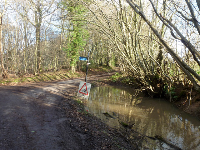
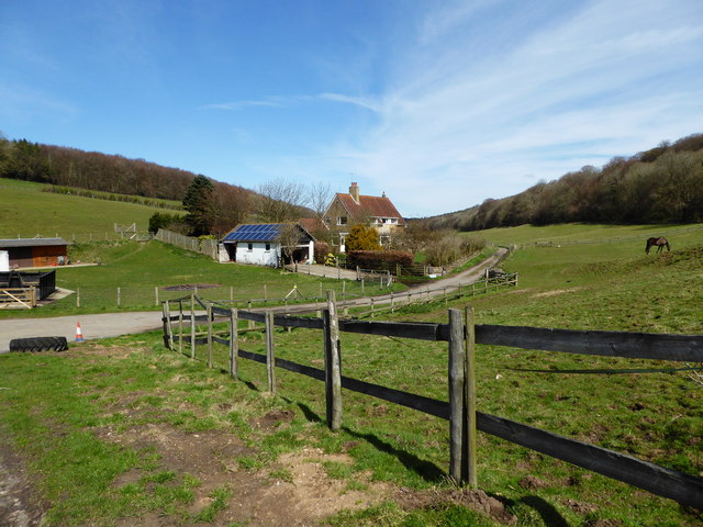
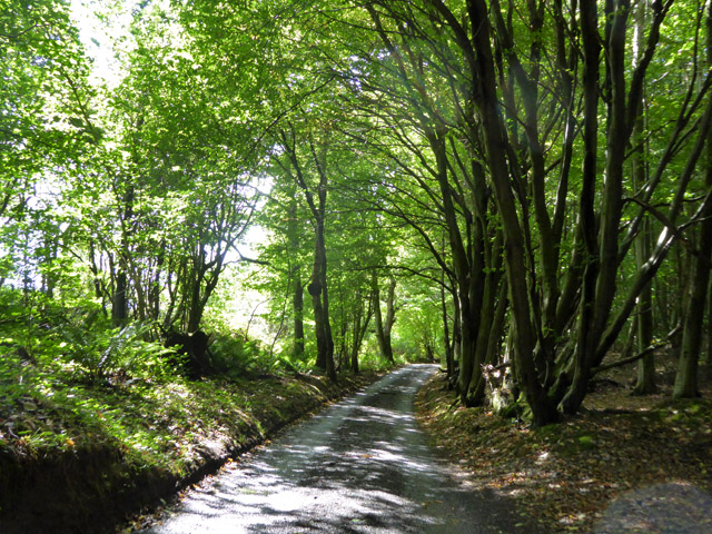
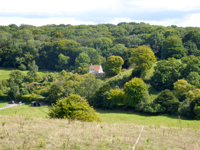
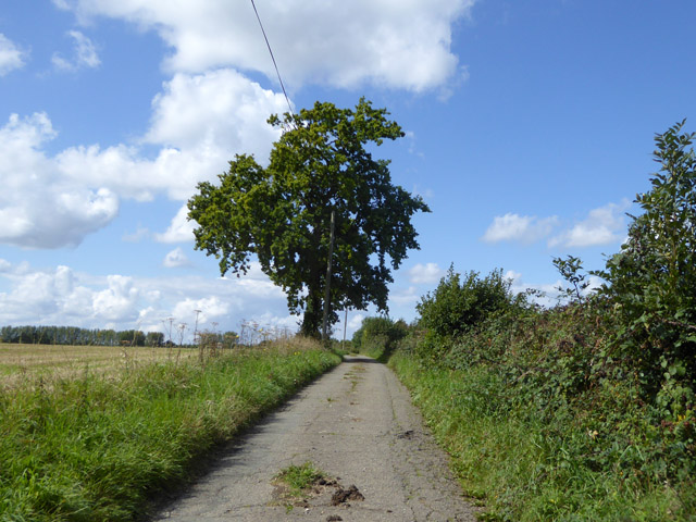
Covet Wood, located in Kent, England, is a picturesque forest known for its natural beauty and diverse wildlife. Spanning approximately 300 acres, this enchanting woodland is a popular destination for nature enthusiasts and hikers alike.
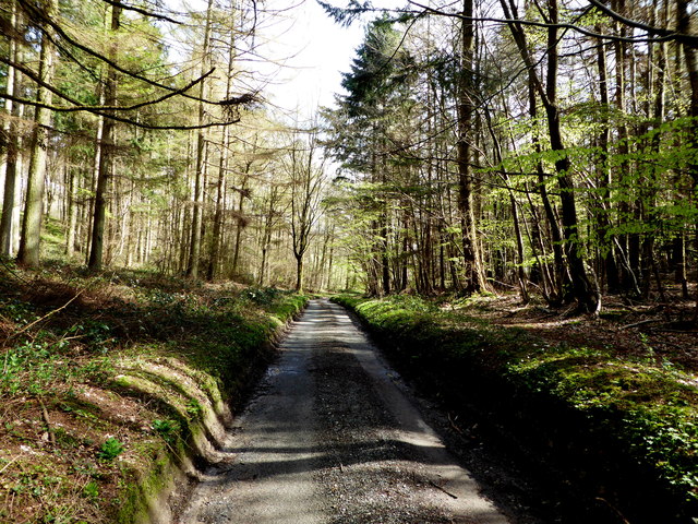
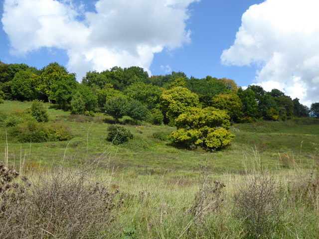
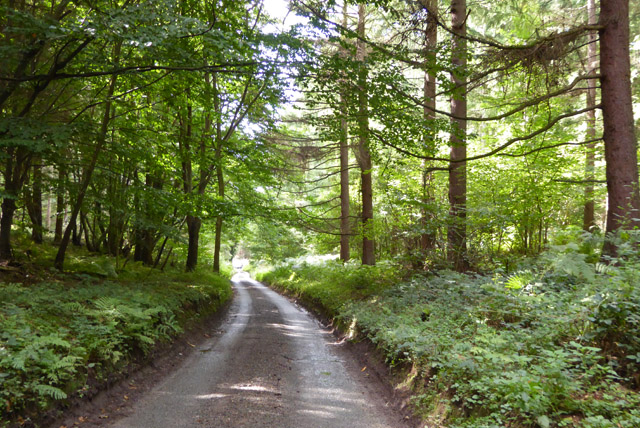
The wood features a unique blend of ancient and modern trees, creating a captivating atmosphere that transports visitors back in time. Majestic oak, beech, and ash trees dominate the landscape, standing tall and providing a rich canopy that filters sunlight through the foliage.
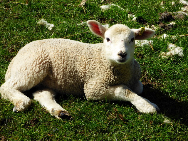
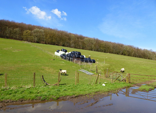
Covet Wood is home to an abundance of wildlife, making it an ideal spot for birdwatching and animal spotting. Visitors may encounter a variety of species, including squirrels, deer, rabbits, and a wide range of bird species. The harmonious sounds of birdsong can be heard throughout the forest, creating a serene ambiance that is perfect for relaxation and meditation.
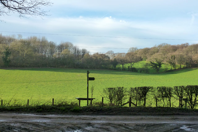
Several well-maintained trails wind through the wood, allowing visitors to immerse themselves in its natural wonders. These pathways offer a chance to explore the different areas of the wood, from open glades and meadows to dense, moss-covered areas. Along the way, hikers can enjoy breathtaking views, discover hidden ponds, and stumble upon ancient ruins that provide glimpses into the area's rich history.
Covet Wood is not only a haven for nature lovers but also a valuable resource for environmental education and conservation efforts. Local organizations frequently organize guided walks and educational programs to raise awareness about the importance of preserving this unique ecosystem.
Whether it's a peaceful stroll, a family picnic, or a wildlife adventure, Covet Wood offers a tranquil escape from the hustle and bustle of daily life, providing visitors with an opportunity to connect with nature and appreciate the wonders of the Kent countryside.
If you have any feedback on the listing, please let us know in the comments section below.
Covet Wood Images
Images are sourced within 2km of 51.197996/1.1094503 or Grid Reference TR1748. Thanks to Geograph Open Source API. All images are credited.


Covet Wood is located at Grid Ref: TR1748 (Lat: 51.197996, Lng: 1.1094503)
Administrative County: Kent
District: Canterbury
Police Authority: Kent
What 3 Words
///claps.brilliant.trimmer. Near Barham, Kent
Nearby Locations
Related Wikis

Reed Mill, Kingston
Reed Mill is a tower mill in Kingston, Kent, England that was built in the early nineteenth century and worked until 1915, after which the mill was derelict...

Lynsore Bottom
Lynsore Bottom is a 70.6-hectare (174-acre) biological Site of Special Scientific Interest north of Folkestone in Kent.These coppice with standards woods...

Marley, Canterbury
Marley is a scattered hamlet in the civil parish of Kingston, in the county of Kent, England. The hamlet is on a minor road about 1 mile (1.6 km) southwest...

Jumping Downs
Jumping Downs is a 5.7-hectare (14-acre) Local Nature Reserve near Aylesham, between Canterbury and Dover in Kent. It is owned by the Jumping Downs Trust...
Bladbean
Bladbean is a scattered hamlet between Canterbury and Folkestone in Kent, England. It lies along a minor road east of Stelling Minnis. It is in the civil...
Bossingham
Bossingham is a village in the parish of Upper Hardres and the district of the City of Canterbury, Kent, England. It is located about five miles (8 km...

Upper Hardres
Upper Hardres is a village and civil parish in the City of Canterbury, in the district of Kent, England. The name of the Hardres family is perpetuated...

Wingmore
Wingmore is a small village between Canterbury and Folkestone in Kent, England. It is situated in the Elham Valley approximately halfway between the larger...
Nearby Amenities
Located within 500m of 51.197996,1.1094503Have you been to Covet Wood?
Leave your review of Covet Wood below (or comments, questions and feedback).