Carleton Common Plantation
Wood, Forest in Norfolk South Norfolk
England
Carleton Common Plantation
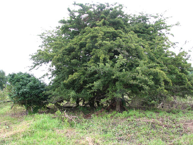
Carleton Common Plantation is a woodland area located in Norfolk, England, renowned for its natural beauty and rich biodiversity. Spanning over several hectares, the plantation is predominantly covered by a mixture of deciduous and coniferous trees, creating a diverse and visually appealing landscape.
The woodland comprises various tree species, including oak, beech, birch, and pine, which provide a habitat for numerous wildlife species. The forest floor is adorned with an array of wildflowers and ferns, adding to the enchanting atmosphere of the area. Carleton Common Plantation is also home to a variety of bird species, such as woodpeckers, owls, and songbirds, making it a popular destination for birdwatchers.
The plantation offers visitors a tranquil and picturesque setting, ideal for leisurely walks and nature exploration. Several well-marked trails wind through the woodland, allowing visitors to immerse themselves in the peaceful surroundings. The plantation is also equipped with picnic areas and benches, providing ample opportunities for relaxation and enjoying the natural environment.
Carleton Common Plantation is managed by the local forestry commission, ensuring the preservation of its unique ecosystem. Efforts are made to maintain the health and diversity of the woodland through sustainable forestry practices, including selective tree felling and habitat restoration.
Overall, Carleton Common Plantation in Norfolk is a cherished natural gem, offering visitors a chance to escape the hustle and bustle of everyday life and connect with the beauty of the natural world.
If you have any feedback on the listing, please let us know in the comments section below.
Carleton Common Plantation Images
Images are sourced within 2km of 52.568671/1.2013388 or Grid Reference TG1701. Thanks to Geograph Open Source API. All images are credited.


Carleton Common Plantation is located at Grid Ref: TG1701 (Lat: 52.568671, Lng: 1.2013388)
Administrative County: Norfolk
District: South Norfolk
Police Authority: Norfolk
What 3 Words
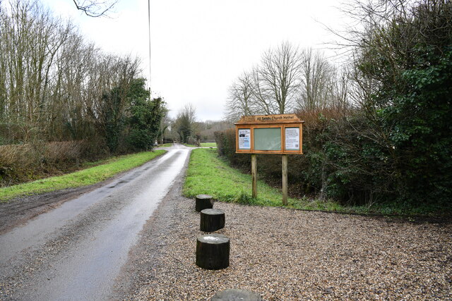
///dude.when.increment. Near Hethel, Norfolk
Nearby Locations
Related Wikis

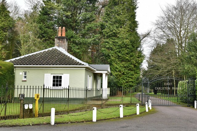
East Carleton
East Carleton is a village and civil parish in the English county of Norfolk. The village is located 6.3 kilometres (3.9 mi) east of nearby Wymondham and...

Forehoe and Henstead Rural District
Forehoe and Henstead Rural Districts were adjacent rural districts in Norfolk, England from 1894 to 1935. They were formed under the Local Government Act...
Hethel Old Thorn
Hethel Old Thorn is a 0.025-hectare (0.062-acre) nature reserve south-west of Norwich in Norfolk. It is managed by the Norfolk Wildlife Trust. This is...

Ketteringham
Ketteringham is a village and civil parish in the English county of Norfolk. The parish covers an area of 6.50 km2 (2.51 sq mi) and had a population of...
Nearby Amenities
Located within 500m of 52.568671,1.2013388Have you been to Carleton Common Plantation?
Leave your review of Carleton Common Plantation below (or comments, questions and feedback).