Shepherd's Carr
Wood, Forest in Norfolk North Norfolk
England
Shepherd's Carr
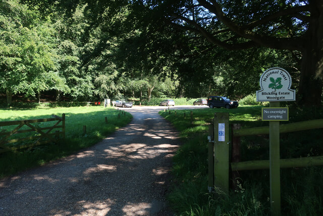
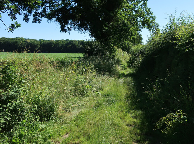
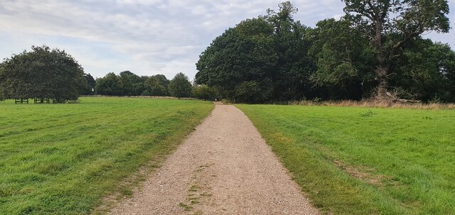
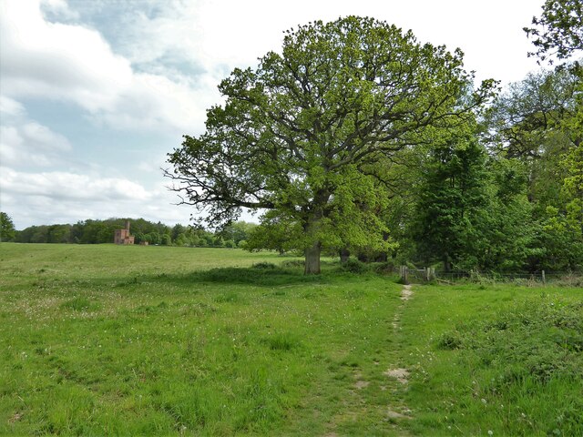
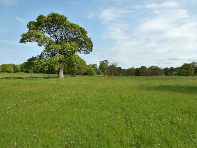
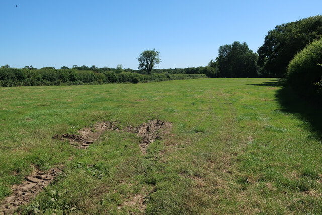
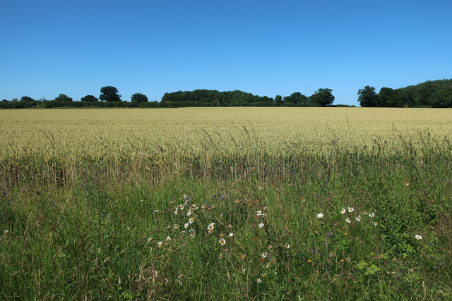
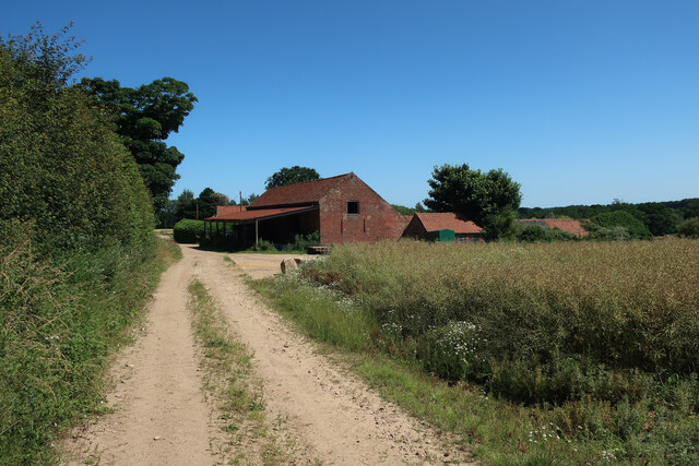
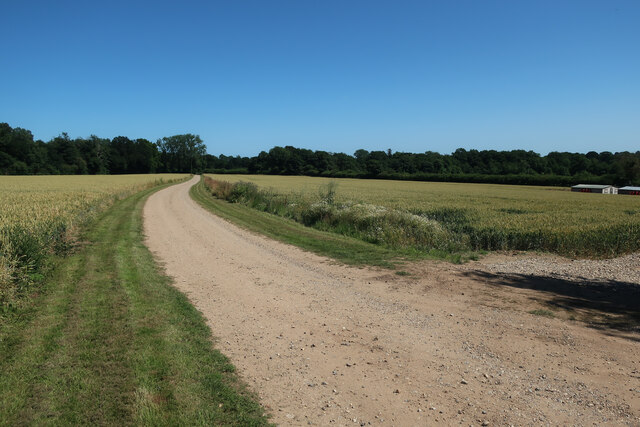
Shepherd's Carr is a wood located in Norfolk, England. Covering an area of approximately 80 acres, it is a beautiful and well-preserved forest that has become a popular destination for nature enthusiasts and hikers.
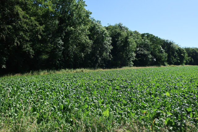
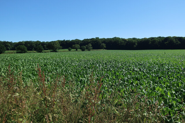
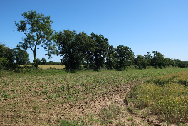
The wood is characterized by its diverse range of trees, including oak, beech, birch, and ash, providing a rich and varied habitat for a wide array of wildlife. Visitors to Shepherd's Carr can expect to see a variety of bird species, such as woodpeckers, owls, and finches, as well as small mammals like squirrels, foxes, and deer.
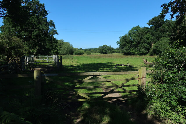
The forest floor is covered with a thick carpet of mosses, ferns, and wildflowers, creating a picturesque landscape that is particularly enchanting during the spring and summer months. Walking through the wood, visitors can immerse themselves in the peaceful atmosphere, enjoying the tranquility and serenity of nature.
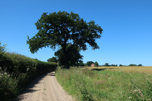
Shepherd's Carr is also known for its network of walking trails that crisscross the wood, allowing visitors to explore its various corners and discover hidden gems. These paths are well-maintained and suitable for all levels of fitness, making it an ideal destination for families and individuals seeking a leisurely hike.
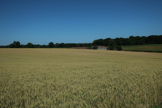
In addition to its natural beauty, Shepherd's Carr is also a site of historical significance. The wood has been a part of the Norfolk landscape for centuries, and remnants of old structures, such as abandoned farmsteads and ancient boundary markers, can still be found scattered throughout the area.
Overall, Shepherd's Carr in Norfolk offers a peaceful and idyllic retreat for those seeking a connection with nature, with its diverse ecosystem, well-maintained trails, and historical charm.
If you have any feedback on the listing, please let us know in the comments section below.
Shepherd's Carr Images
Images are sourced within 2km of 52.828898/1.2201258 or Grid Reference TG1730. Thanks to Geograph Open Source API. All images are credited.


Shepherd's Carr is located at Grid Ref: TG1730 (Lat: 52.828898, Lng: 1.2201258)
Administrative County: Norfolk
District: North Norfolk
Police Authority: Norfolk
What 3 Words
///timed.openly.gong. Near Aylsham, Norfolk
Nearby Locations
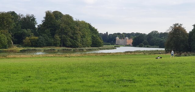
Related Wikis

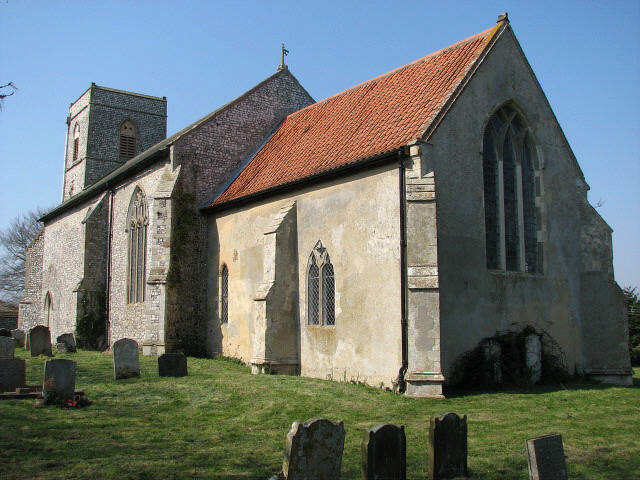
Moorgate, Norfolk
Moorgate is a village to the north of Aylsham in the county of Norfolk, England.

Scarrow Beck
Scarrow Beck is a minor watercourse which rises in the north of the English county of Norfolk. It is a tributary of the River Bure. Its spring is in the...
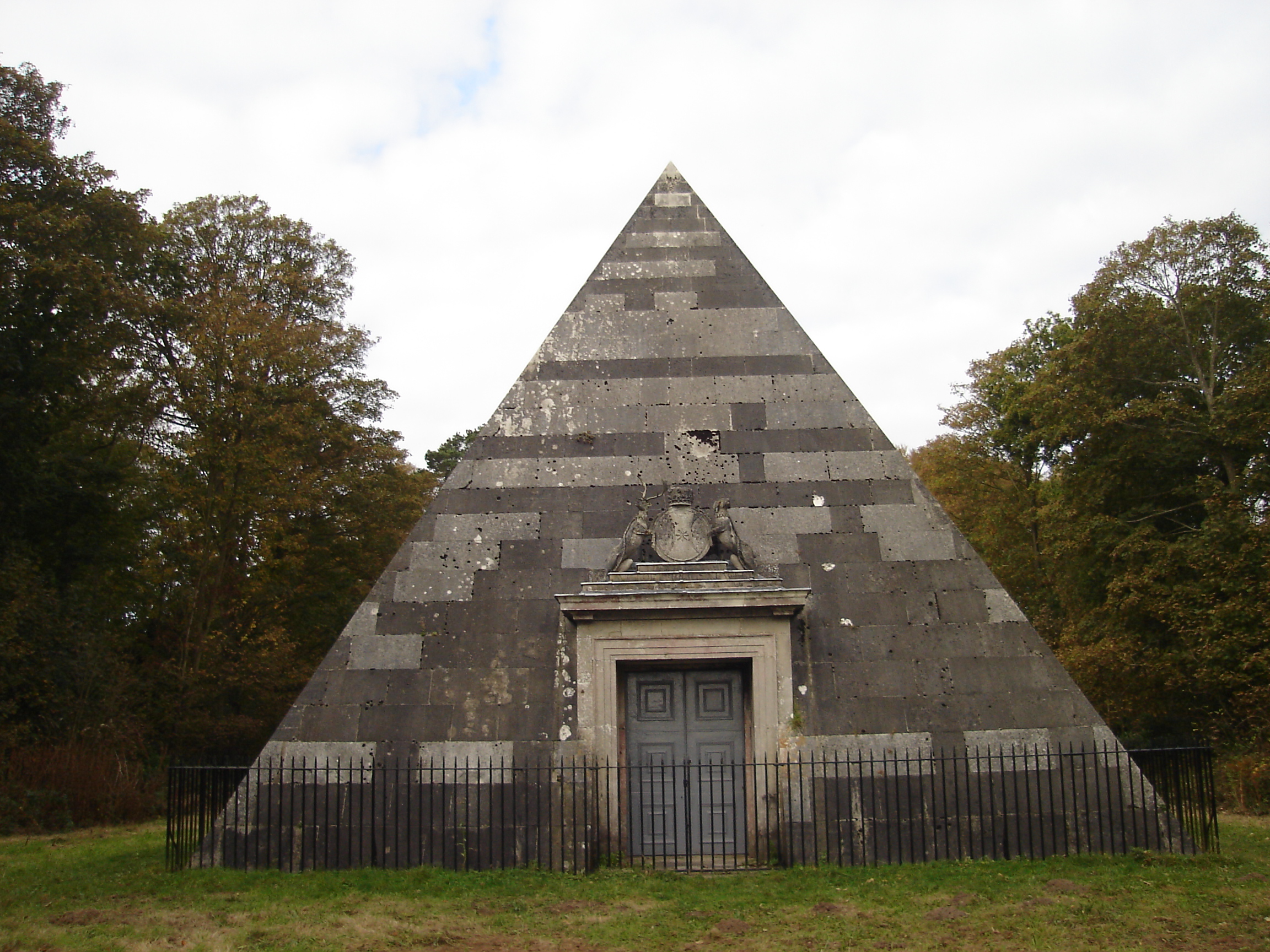
Blickling Park mausoleum
The Blickling Park mausoleum is a Grade II* listed building in the grounds of Blickling Hall, Norfolk, England. It was commissioned in 1793 by Lady Caroline...

Wolterton Hall
Wolterton Hall, is a large country house in the ecclesiastical parish of Wickmere with Wolterton and the civil parish of Wickmere in the county of Norfolk...
Calthorpe, Norfolk
Calthorpe is a small village and former civil parish, now in the parish of Erpingham, in the North Norfolk district, in the county of Norfolk, England...

Blickling Hall
Blickling Hall is a Jacobean stately home situated in 5,000 acres of parkland in a loop of the River Bure, near the village of Blickling north of Aylsham...

Blickling
Blickling is a village and civil parish in the Broadland district of Norfolk, England, about 1.5 miles (2.4 km) north-west of Aylsham. In the 2011 census...
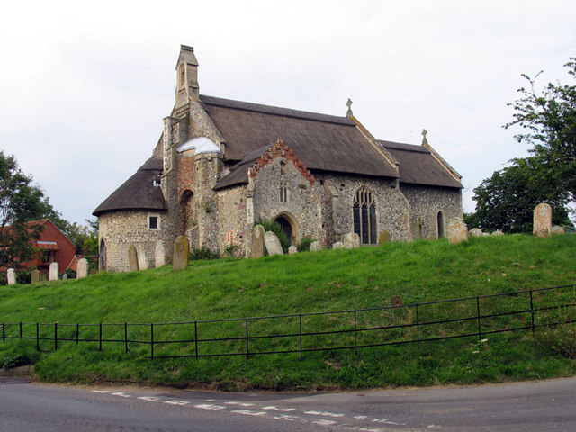
Ingworth
Ingworth is a village and a civil parish in the English county of Norfolk. It is 1.7 miles (2.7 km) north of Aylsham, 14.3 miles (23.0 km) north of Norwich...
Nearby Amenities
Located within 500m of 52.828898,1.2201258Have you been to Shepherd's Carr?
Leave your review of Shepherd's Carr below (or comments, questions and feedback).