Colney Wood

Wood, Forest in Norfolk South Norfolk

England

Colney Wood

Royal Mail depot and Screwfix, Bowthorpe Industrial Area
Royal Mail depot and Screwfix, Bowthorpe Industrial Area Credit: Hugh Venables

Colney Wood is a picturesque woodland area situated in the county of Norfolk, England. Nestled amidst the beautiful Norfolk countryside, this enchanting wood offers visitors a tranquil and serene escape from the hustle and bustle of everyday life.

Covering an area of approximately 100 acres, Colney Wood is predominantly composed of mixed woodland, featuring a diverse range of tree species including oaks, beeches, and birches. The wood is known for its rich biodiversity and is home to a variety of flora and fauna, providing a haven for wildlife enthusiasts and nature lovers.

Walking through Colney Wood, visitors can enjoy the soothing sounds of birdsong and the rustling of leaves underfoot. The wood boasts a network of well-maintained paths and trails, allowing visitors to explore its natural beauty at their own pace. The trails lead through sun-dappled glades, over babbling brooks, and past vibrant wildflower meadows, offering glimpses of the wood's abundant wildlife.

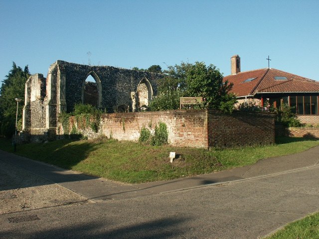
Colney Wood also holds historical significance, with evidence of human activity dating back hundreds of years. Archaeological finds suggest that the wood was once used for charcoal production and timber extraction. Today, remnants of old charcoal platforms and saw pits can still be seen, providing a glimpse into the area's industrial past.

The wood is managed by Norfolk Wildlife Trust, who work tirelessly to preserve its natural beauty and protect its diverse ecosystem. They offer educational programs and guided walks to further enhance visitors' understanding and appreciation of this unique woodland habitat.

Colney Wood is a true hidden gem in Norfolk, offering a peaceful retreat for those seeking solace in nature's embrace.

If you have any feedback on the listing, please let us know in the comments section below.
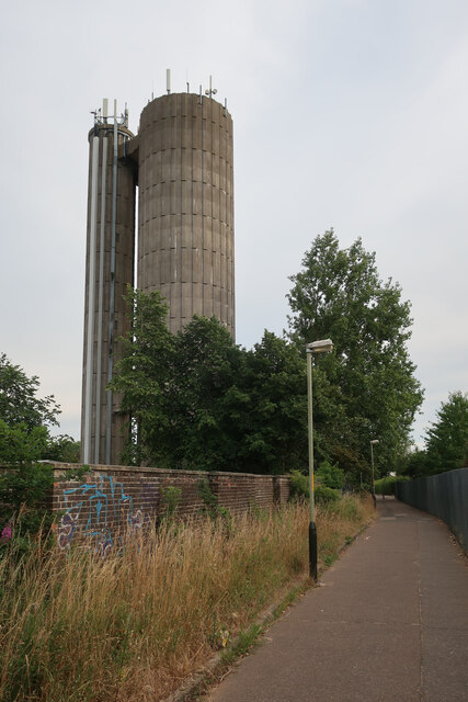
Colney Wood Images

Images are sourced within 2km of 52.628258/1.2034873 or Grid Reference TG1608. Thanks to Geograph Open Source API. All images are credited.

Royal Mail depot and Screwfix, Bowthorpe Industrial Area
Sinclair International, Jarrold Way Producing labels for fresh produce.
Sinclair International, Jarrold Way
Producing labels for fresh produce.
Fox Joinery, Bowthorpe Industrial Area
Bowthorpe Park Industrial Estate
Bowthorpe water tower
Garages on St Mildreds Road
Little Melton,  St. Mary and All Saints Church: Lych gate
Little Melton, St. Mary and All Saints Church: Lych gate
Colney, Norfolk and Norwich University Hospitals: The Quadram Institute
Colney, Norfolk and Norwich University Hospitals: The Quadram Institute car park
Colney, Norfolk and Norwich University Hospitals: The Quadram Institute car park payment area
Colney, Norfolk and Norwich University Hospitals: Where development of this site ends
Colney, Norfolk and Norwich University Hospitals: The Quadram Institute
Colney, Norfolk and Norwich University Hospitals: Huge car park, completed but yet to be in service
Colney, Norfolk and Norwich University Hospitals: Ella May Barnes Building
Little Melton: Field used for grazing
Show me another place!

Colney Wood is located at Grid Ref: TG1608 (Lat: 52.628258, Lng: 1.2034873)

Administrative County: Norfolk

District: South Norfolk

Police Authority: Norfolk

What 3 Words

///growl.removed.bolt. Near Bowthorpe, Norfolk

Related Wikis

Earlham Institute

Earlham Institute (EI, formerly The Genome Analysis Centre (TGAC)) is a life science research institute located at the Norwich Research Park (NRP), Norwich...

Quadram Institute

The Quadram Institute is a centre for food and health research, combining Quadram Institute Bioscience (formerly the Institute of Food Research), the Norfolk...

Bowthorpe Marsh

Bowthorpe Marsh is a 5.9-hectare (15-acre) Local Nature Reserve in Norwich in Norfolk. It is owned and managed by Norwich City Council.This site adjacent...

Bowthorpe

Bowthorpe is a suburban village to the west of Norwich, in the county of Norfolk, England. == Geography == Bowthorpe is primarily a residential area, but...

Nearby Amenities

Located within 500m of 52.628258,1.2034873
Turning Circle
Lat/Long: 52.6314924/1.201753
Disused: yes
Man Made: tower
Material: metal
Tower Construction: lattice
Tower Type: communication
Lat/Long: 52.6271442/1.1973799
Turning Circle
Lat/Long: 52.6264099/1.2006935
Turning Circle
Lat/Long: 52.6280527/1.2008223
Turning Circle
Lat/Long: 52.6281243/1.1992049
Turning Circle
Lat/Long: 52.6275659/1.1985746
Street Lamp
Operator: National Highways
Operator Wikidata: Q5760006
Ref: 29
Lat/Long: 52.625717/1.197472
Street Lamp
Operator: National Highways
Operator Wikidata: Q5760006
Ref: 25
Lat/Long: 52.625055/1.198317
Street Lamp
Operator: National Highways
Operator Wikidata: Q5760006
Ref: 28
Lat/Long: 52.625527/1.197798
Bus Stop
Wood Burial Park, adj
Naptan AtcoCode: 2900C3539
Naptan Bearing: E
Naptan CommonName: Wood Burial Park
Naptan Indicator: adj
Naptan Landmark: Colney Wood Burial Park
Naptan Locality: Colney
Naptan NaptanCode: nfogtgag
Naptan Street: Watton Road
Naptan Verified: no
Source: naptan_import
Lat/Long: 52.6254408/1.1993606
Bus Stop
Wood Burial Park, opp
Naptan AtcoCode: 2900C3540
Naptan Bearing: W
Naptan CommonName: Wood Burial Park
Naptan Indicator: opp
Naptan Landmark: Colney Wood Burial Park
Naptan Locality: Colney
Naptan NaptanCode: nfogtgaj
Naptan Street: Watton Road
Naptan Verified: no
Source: naptan_import
Lat/Long: 52.6252899/1.1994398
Traffic Calming: bump
Lat/Long: 52.6242667/1.2006241
Give Way
Lat/Long: 52.6252948/1.1998362
Priority: equal
Lat/Long: 52.6284508/1.2048633
The data included in this document is from www.openstreetmap.org. The data is made available under ODbL.

Have you been to Colney Wood?

Leave your review of Colney Wood below (or comments, questions and feedback).