Arch Plantation

Wood, Forest in Norfolk North Norfolk

England

Arch Plantation

Repainted Sustead village sign The sign depicts the three dolphins of the Damme family and "the manor of Damms in Sustede" in the reign of Queen Elizabeth I.
Repainted Sustead village sign Credit: Jane Rackham

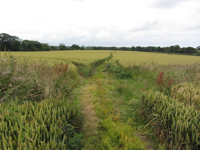
Arch Plantation is a picturesque woodland located in Norfolk, England. Situated in the heart of the county, this expansive forest covers an area of approximately 500 acres, making it a haven for nature enthusiasts and outdoor enthusiasts alike.

The plantation is characterized by its dense canopy of tall, majestic trees, predominantly consisting of oak, beech, and birch. These ancient trees provide a serene and tranquil environment, creating a sense of peace and tranquility for visitors. The forest floor is carpeted with a rich variety of wildflowers, ferns, and mosses, adding to the enchanting ambiance of the woodland.

Arch Plantation is home to a diverse array of wildlife, with numerous species of birds, mammals, and insects calling it their habitat. Birdwatchers can spot a range of avian species, including woodpeckers, owls, and songbirds, while nature enthusiasts may encounter deer, foxes, and badgers during their exploration. The plantation also houses a small lake, which serves as a sanctuary for various aquatic creatures, including ducks, swans, and dragonflies.

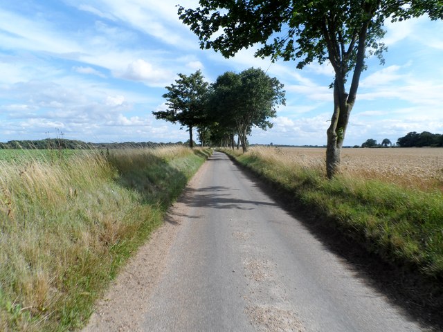
The woodland is crisscrossed with a network of well-maintained walking trails, allowing visitors to immerse themselves in the beauty of nature while enjoying a leisurely stroll or a more adventurous hike. These paths wind through the forest, offering breathtaking views of the surrounding landscape and providing opportunities for visitors to discover hidden nooks and crannies.

Arch Plantation is a popular destination for both locals and tourists seeking solace in nature. Its peaceful atmosphere, abundant wildlife, and stunning natural beauty make it a must-visit destination for anyone looking to escape the hustle and bustle of everyday life and reconnect with the great outdoors.

If you have any feedback on the listing, please let us know in the comments section below.

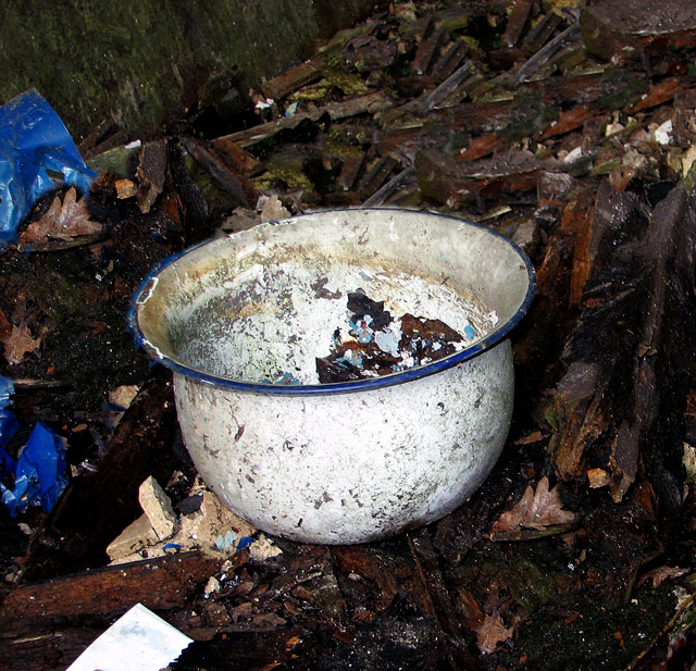
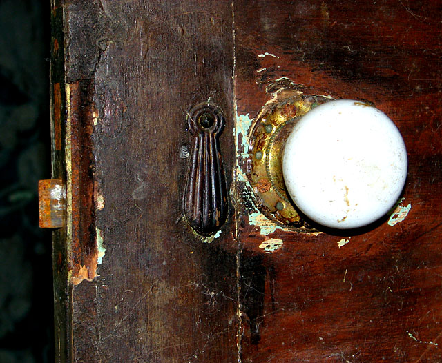
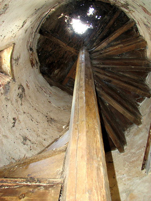
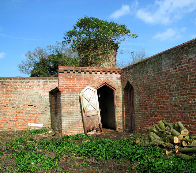
Arch Plantation Images

Images are sourced within 2km of 52.880068/1.2214956 or Grid Reference TG1636. Thanks to Geograph Open Source API. All images are credited.

Repainted Sustead village sign The sign depicts the three dolphins of the Damme family and "the manor of Damms in Sustede" in the reign of Queen Elizabeth I.
Repainted Sustead village sign
The sign depicts the three dolphins of the Damme family and "the manor of Damms in Sustede" in the reign of Queen Elizabeth I.
Bessingham Manor Due to be demolished the Manor has an unusually interesting history. For more information read the shared description by Evelyn Simak.
Bessingham Manor
Due to be demolished the Manor has an unusually interesting history. For more information read the shared description by Evelyn Simak.
Bessingham Manor - the bell It is still in its place but not for very much longer - the manor house is scheduled for demolition.
Bessingham Manor - the bell
It is still in its place but not for very much longer - the manor house is scheduled for demolition.
Bessingham Manor - the wash-house The coppers and fireplaces are still there but everything surrounding them has collapsed. The manor house is scheduled for demolition.
Bessingham Manor - the wash-house
The coppers and fireplaces are still there but everything surrounding them has collapsed. The manor house is scheduled for demolition.
Bessingham Manor - the chamber pot Found amongst the debris.  The manor house is scheduled for demolition.
Bessingham Manor - the chamber pot
Found amongst the debris. The manor house is scheduled for demolition.
Bessingham Manor - redundant doorknob The manor house is scheduled for demolition.
Bessingham Manor - redundant doorknob
The manor house is scheduled for demolition.
Bessingham Manor - crystal chandelier The manor house is scheduled for demolition but the crystal chandeliers are still hanging on.
Bessingham Manor - crystal chandelier
The manor house is scheduled for demolition but the crystal chandeliers are still hanging on.
Bessingham Manor and outbuildings The manor house is scheduled for demolition.
Bessingham Manor and outbuildings
The manor house is scheduled for demolition.
Dovecote by the entrance to Bessingham Manor (interior) This tower > <a title="https://www.geograph.org.uk/photo/2287318" href="https://www.geograph.org.uk/photo/2287318">Link</a> on a corner of the wall surrounding the manor house is described as having been a dovecote. I don't think that's correct: there is a very narrow spiral staircase inside going up all the way and according to the original plans it served as an obervatory.
Dovecote by the entrance to Bessingham Manor (interior)
This tower > Link on a corner of the wall surrounding the manor house is described as having been a dovecote. I don't think that's correct: there is a very narrow spiral staircase inside going up all the way and according to the original plans it served as an obervatory.
Dovecote by the entrance to Bessingham Manor This tower on a corner of the wall surrounding the manor house is described as having been a dovecote.  I don't think that's correct: there is a very narrow spiral staircase inside going up all the way > <a title="https://www.geograph.org.uk/photo/2334184" href="https://www.geograph.org.uk/photo/2334184">Link</a> - what purpose it served I do not know.
Dovecote by the entrance to Bessingham Manor
This tower on a corner of the wall surrounding the manor house is described as having been a dovecote. I don't think that's correct: there is a very narrow spiral staircase inside going up all the way > Link - what purpose it served I do not know.
Village sign at Sustead, Norfolk
St Paul's Parish Church, Sustead
On the Weaver's Way, northwest of Sustead, Norfolk
St Mary's church, Bessingham According to <span class="nowrap"><a title="http://www.norfolkchurches.co.uk/bessingham/bessingham.htm" rel="nofollow ugc noopener" href="http://www.norfolkchurches.co.uk/bessingham/bessingham.htm">Link</a><img style="margin-left:2px;" alt="External link" title="External link - shift click to open in new window" src="https://s1.geograph.org.uk/img/external.png" width="10" height="10"/></span> , the tower is anglo-saxon but the body of the church was rebuilt in the 1870's.
St Mary's church, Bessingham
According to LinkExternal link , the tower is anglo-saxon but the body of the church was rebuilt in the 1870's.
Long straight tree-lined lane
All Saints' church, Thurgarton The tower fell in the 1880's. See <span class="nowrap"><a title="http://www.norfolkchurches.co.uk/thurgarton/thurgarton.htm" rel="nofollow ugc noopener" href="http://www.norfolkchurches.co.uk/thurgarton/thurgarton.htm">Link</a><img style="margin-left:2px;" alt="External link" title="External link - shift click to open in new window" src="https://s1.geograph.org.uk/img/external.png" width="10" height="10"/></span>
All Saints' church, Thurgarton
The tower fell in the 1880's. See LinkExternal link
Show me another place!

Arch Plantation is located at Grid Ref: TG1636 (Lat: 52.880068, Lng: 1.2214956)

Administrative County: Norfolk

District: North Norfolk

Police Authority: Norfolk

What 3 Words

///salmon.serenade.chip. Near Sheringham, Norfolk

Related Wikis

Bessingham

Bessingham is a village and former civil parish, now in the parish of Sustead, in the North Norfolk district of the English county of Norfolk. It lies...

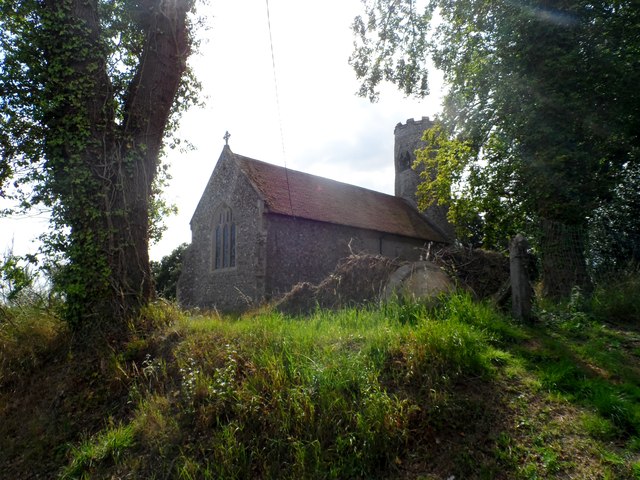
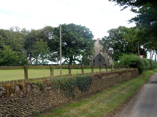
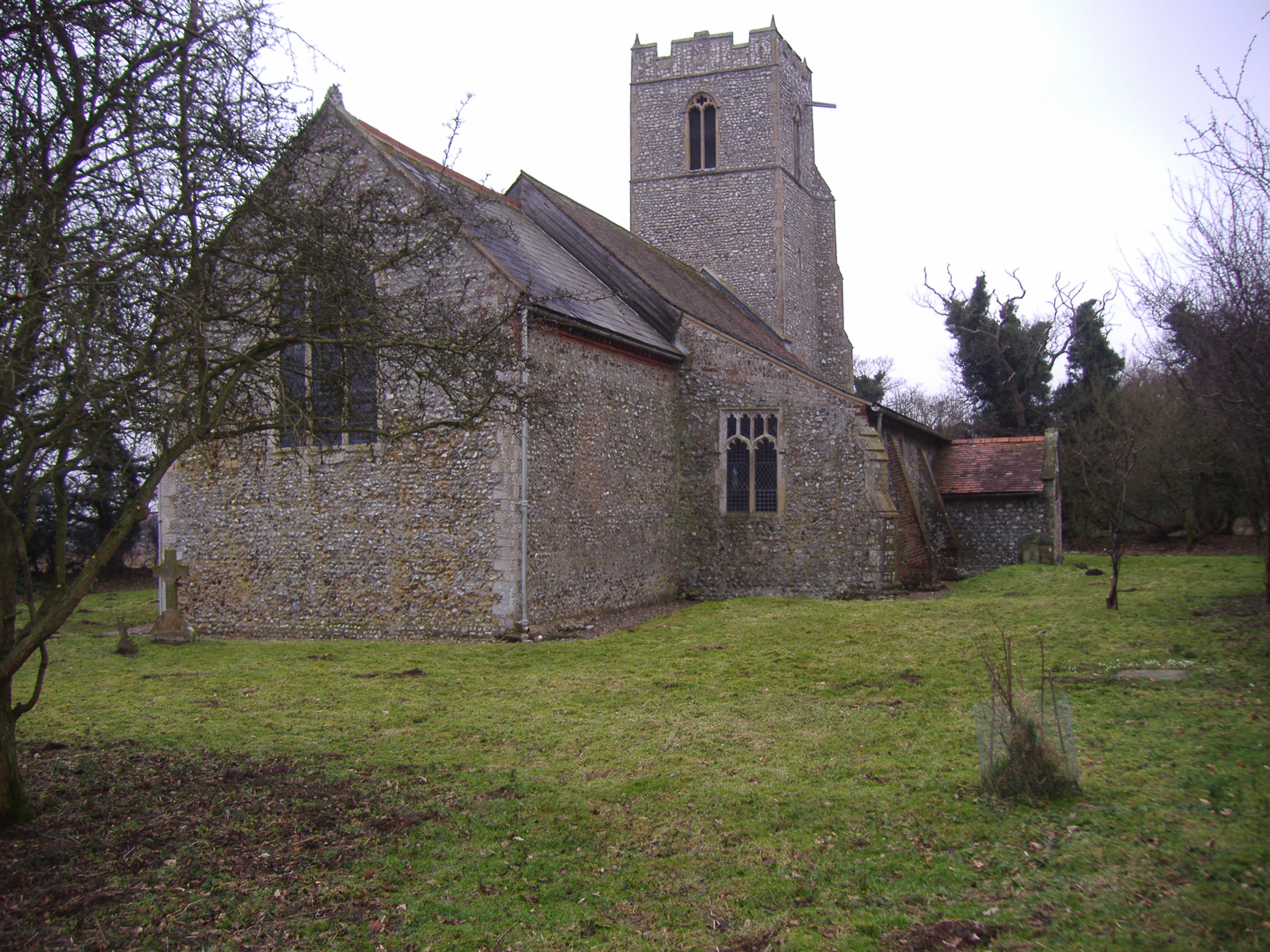
All Saints Church, Thurgarton

All Saints' Church is a redundant Anglican church in the village of Thurgarton, Norfolk, England. It is recorded in the National Heritage List for England...

Thurgarton, Norfolk

Thurgarton is a village and former civil parish, now in the parish of Aldborough and Thurgarton, in the North Norfolk district of the county of Norfolk...

Gresham Castle

Gresham Castle is located south of the village of Gresham in the north of the English county of Norfolk. The medieval castle was actually a fortified manor...
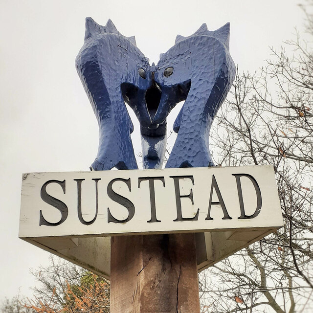
Sustead

Sustead is a small village and parish in the county of Norfolk, England, about four miles south-west of Cromer. The parish also includes the villages of...

Matlaske

Matlaske is a village and a civil parish in the English county of Norfolk. The village is 21.6 miles (34.8 km) North-north-west of Norwich, 9.3 miles...

Gresham, Norfolk

Gresham is a village and civil parish in North Norfolk, England, five miles (8 km) south-west of Cromer. A predominantly rural parish, Gresham centres...

North Barningham

North Barningham is a hamlet within the civil parish of Gresham in the English county of Norfolk. The hamlet is 7 miles (11 km) south-west of Cromer, 23...

Nearby Amenities

Located within 500m of 52.880068,1.2214956
The data included in this document is from www.openstreetmap.org. The data is made available under ODbL.

Have you been to Arch Plantation?

Leave your review of Arch Plantation below (or comments, questions and feedback).