Little Plantation

Wood, Forest in Norfolk Broadland

England

Little Plantation

Old Milestone (south face) by the B1149, Holt Road, Felthorpe Parish Carved stone post by the B1149, in parish of FELTHORPE (BROADLAND District), Holt Road, opposite No. 24, on the verge, on West side of road. Norfolk County Council pillar, erected by an unknown authority in the 19th century. An earlier photograph can be found here <a title="https://www.geograph.org.uk/photo/6616348" href="https://www.geograph.org.uk/photo/6616348">Link</a>.

Inscription reads:- : TO / HOLT / 7 / MILES : : FELTHORPE : : TO / NORWICH / 14 / MILES : 

Listed. 

Milestone Society National ID: NO_NH07.
Old Milestone (south face) by the B1149, Holt Road, Felthorpe Parish Credit: Alan Lake

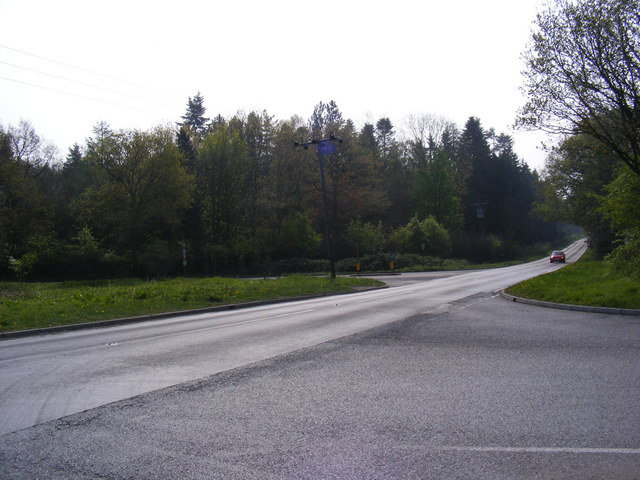
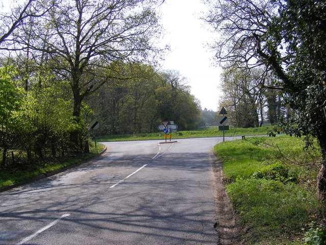
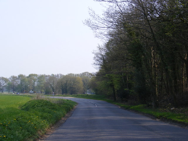
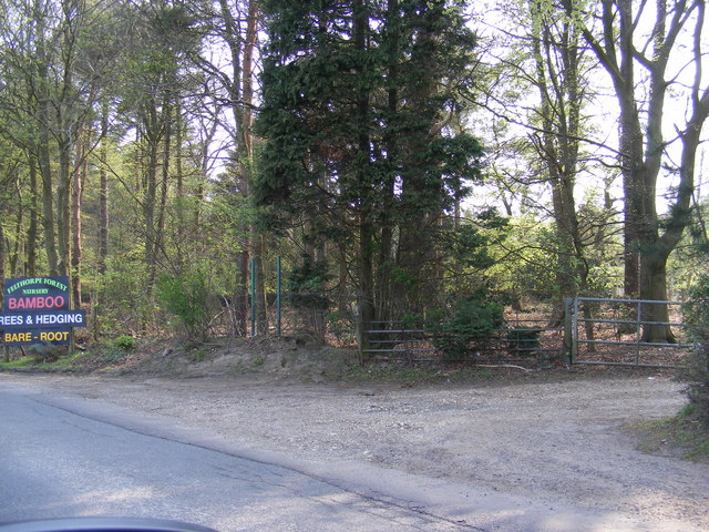
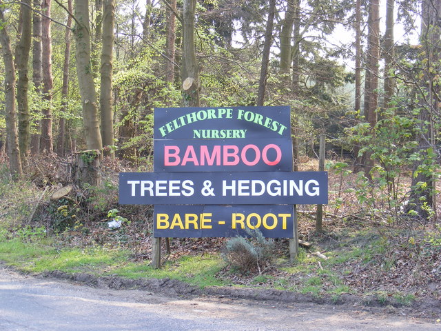
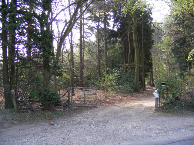
Little Plantation is a picturesque woodland located in Norfolk, England. Situated within the larger Norfolk Wood, this small forest is a haven for nature lovers and outdoor enthusiasts. Covering an area of approximately 100 acres, it offers a tranquil escape from the bustle of everyday life.

The woodland is characterized by a diverse range of tree species, including oak, beech, and ash, which create a lush and verdant landscape. The dense canopy provides a shaded and cool atmosphere, making it an ideal spot for walking, hiking, or simply enjoying the beauty of nature.

Little Plantation is also home to an abundance of wildlife. Visitors may spot various bird species, such as woodpeckers, nuthatches, and owls, as well as small mammals such as squirrels and rabbits. The forest floor is carpeted with wildflowers, adding a splash of color to the surroundings.

The woodland is well-maintained and features several well-marked trails, allowing visitors to explore the area easily. These trails cater to different levels of fitness and offer a variety of scenic views, including a small stream that meanders through the forest.

Little Plantation is a popular destination for families, as it provides an ideal setting for picnics and outdoor activities. Additionally, there are designated areas for camping and barbecues, making it a perfect spot for a weekend getaway.

Overall, Little Plantation in Norfolk offers a serene and enchanting experience for those seeking a peaceful retreat in the heart of nature.

If you have any feedback on the listing, please let us know in the comments section below.

Little Plantation Images

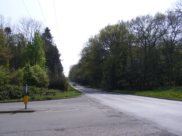
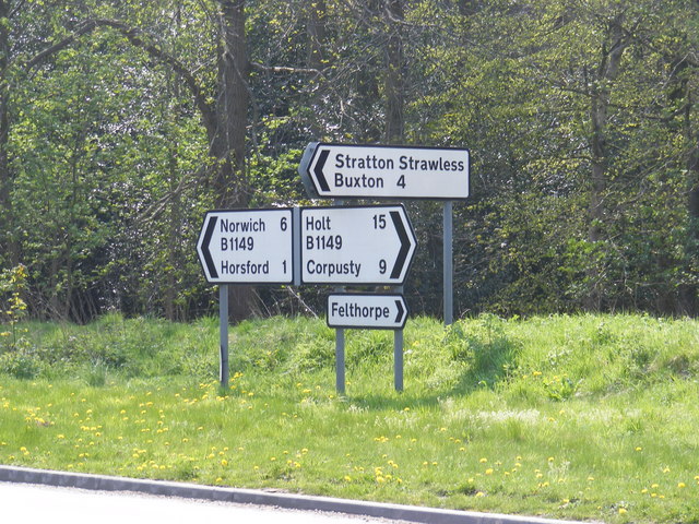
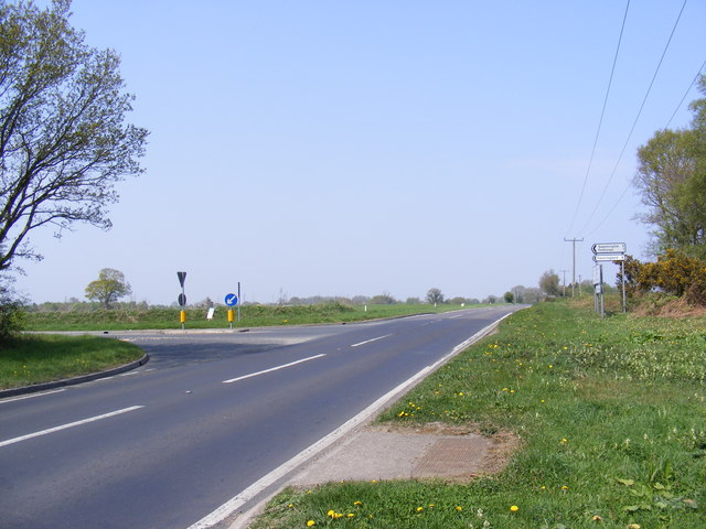
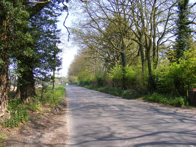
Images are sourced within 2km of 52.723433/1.2091897 or Grid Reference TG1618. Thanks to Geograph Open Source API. All images are credited.

Old Milestone (south face) by the B1149, Holt Road, Felthorpe Parish Carved stone post by the B1149, in parish of FELTHORPE (BROADLAND District), Holt Road, opposite No. 24, on the verge, on West side of road. Norfolk County Council pillar, erected by an unknown authority in the 19th century. An earlier photograph can be found here <a title="https://www.geograph.org.uk/photo/6616348" href="https://www.geograph.org.uk/photo/6616348">Link</a>.

Inscription reads:- : TO / HOLT / 7 / MILES : : FELTHORPE : : TO / NORWICH / 14 / MILES : 

Listed. 

Milestone Society National ID: NO_NH07.
Old Milestone (south face) by the B1149, Holt Road, Felthorpe Parish
Carved stone post by the B1149, in parish of FELTHORPE (BROADLAND District), Holt Road, opposite No. 24, on the verge, on West side of road. Norfolk County Council pillar, erected by an unknown authority in the 19th century. An earlier photograph can be found here Link. Inscription reads:- : TO / HOLT / 7 / MILES : : FELTHORPE : : TO / NORWICH / 14 / MILES : Listed. Milestone Society National ID: NO_NH07.
Old Milepost by the B1149, north of Horsford, Felthorpe parish Concrete post by the B1149, in parish of Felthorpe (Broadland District), 10m North of pull-in/lay-by, on the verge overgrown by brambles and backed by woodland, on West side of road. NCC concrete, erected by the County Council in the 19th/20th century. 

Inscription reads:-
: TO / HOLT / 15 / MILES : : NCC / MAIN ROAD : : FELTHORPE : : TO / NORWICH / 6 / MILES :
Carved benchmark recorded.

Norfolk HER.
NHER Number: 56448 <span class="nowrap"><a title="https://www.heritagegateway.org.uk/Gateway/Results_Single.aspx?uid=MNF62856&resourceID=1002" rel="nofollow ugc noopener" href="https://www.heritagegateway.org.uk/Gateway/Results_Single.aspx?uid=MNF62856&resourceID=1002">Link</a><img style="margin-left:2px;" alt="External link" title="External link - shift click to open in new window" src="https://s1.geograph.org.uk/img/external.png" width="10" height="10"/></span>

Milestone Society National ID: NO_NH06
Old Milepost by the B1149, north of Horsford, Felthorpe parish
Concrete post by the B1149, in parish of Felthorpe (Broadland District), 10m North of pull-in/lay-by, on the verge overgrown by brambles and backed by woodland, on West side of road. NCC concrete, erected by the County Council in the 19th/20th century. Inscription reads:- : TO / HOLT / 15 / MILES : : NCC / MAIN ROAD : : FELTHORPE : : TO / NORWICH / 6 / MILES : Carved benchmark recorded. Norfolk HER. NHER Number: 56448 LinkExternal link Milestone Society National ID: NO_NH06
Short -Thorn Road Approaching the B1149 Holt Road
Short -Thorn Road
Approaching the B1149 Holt Road
Short -Thorn Road Approaching the B1149 Holt Road
Short -Thorn Road
Approaching the B1149 Holt Road
B1149 Holt Road Looking towards Short-Thorn Road at the junction with Short-Thorn Road
B1149 Holt Road
Looking towards Short-Thorn Road at the junction with Short-Thorn Road
Road signs on the B1149 Holt Road At the junction with Short-Thorn Road
Road signs on the B1149 Holt Road
At the junction with Short-Thorn Road
Stratton Strawless sign On Short-Thorn Road near the junction with the B1149 Holt Road
Stratton Strawless sign
On Short-Thorn Road near the junction with the B1149 Holt Road
Short -Thorn Road sign At the junction with the B1149 Holt Road
Short -Thorn Road sign
At the junction with the B1149 Holt Road
B1149 Holt Road Looking towards Horsford at the junction with Short-Thorn Road
B1149 Holt Road
Looking towards Horsford at the junction with Short-Thorn Road
Roadsigns on the B1149 Holt Road At the junction with Short-Thorn Road
Roadsigns on the B1149 Holt Road
At the junction with Short-Thorn Road
B1149 Holt Road Looking towards Haveringland Road
B1149 Holt Road
Looking towards Haveringland Road
Short -Thorn Road <span class="nowrap"><a title="https://en.wikipedia.org/wiki/Felthorpe" rel="nofollow ugc noopener" href="https://en.wikipedia.org/wiki/Felthorpe">Link</a><img style="margin-left:2px;" alt="External link" title="External link - shift click to open in new window" src="https://s1.geograph.org.uk/img/external.png" width="10" height="10"/></span>
Short -Thorn Road
Short -Thorn Road Approaching the B1149 Holt Road
Short -Thorn Road
Approaching the B1149 Holt Road
Short -Thorn Road, Felthorpe Approaching the B1149 Holt Road
Short -Thorn Road, Felthorpe
Approaching the B1149 Holt Road
The entrance to Felthorpe Forest Nursery Off Short-Thorn Road
The entrance to Felthorpe Forest Nursery
Off Short-Thorn Road
Felthorpe Forest Nursery sign Off Short-Thorn Road
Felthorpe Forest Nursery sign
Off Short-Thorn Road
The entrance to Felthorpe Forest Nursery Off Short-Thorn Road
The entrance to Felthorpe Forest Nursery
Off Short-Thorn Road
Nursery entrance off Short Thorn Road <span class="nowrap"><a title="https://en.wikipedia.org/wiki/Felthorpe" rel="nofollow ugc noopener" href="https://en.wikipedia.org/wiki/Felthorpe">Link</a><img style="margin-left:2px;" alt="External link" title="External link - shift click to open in new window" src="https://s1.geograph.org.uk/img/external.png" width="10" height="10"/></span>
Nursery entrance off Short Thorn Road
Show me another place!

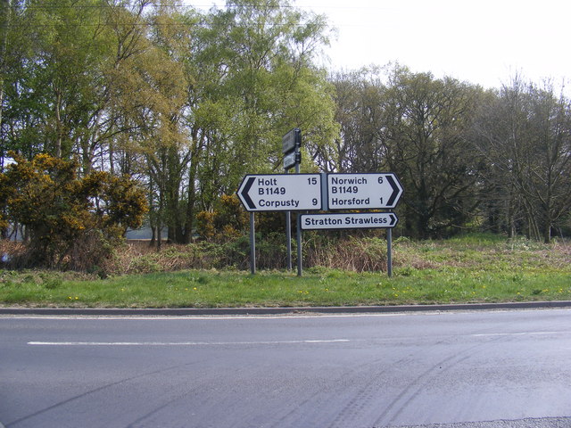
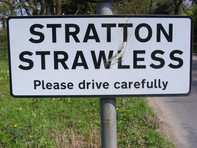
Little Plantation is located at Grid Ref: TG1618 (Lat: 52.723433, Lng: 1.2091897)

Administrative County: Norfolk

District: Broadland

Police Authority: Norfolk

What 3 Words

///gearbox.mingles.broadcast. Near Horsford, Norfolk

Related Wikis

Felthorpe

Felthorpe is a village and civil parish in the English county of Norfolk. The village is located 11 miles (18 km) east of Dereham and 7.1 miles (11.4 km...

Haveringland

Haveringland is a village and civil parish in the English county of Norfolk about 8 miles (13 km) north-west of Norwich. It covers an area of 8.91 km2...

Swannington Upgate Common

Swannington Upgate Common is a 20.5-hectare (51-acre) biological Site of Special Scientific Interest north-west of Norwich in Norfolk. This site has varied...

1966 Felthorpe Trident crash

On 3 June 1966, a newly built Hawker Siddeley Trident jetliner crashed during a pre-delivery test flight near the village of Felthorpe, Norfolk, England...

Nearby Amenities

Located within 500m of 52.723433,1.2091897
Foot: designated
Motorcar: private
Lat/Long: 52.7268349/1.2052816
Note: way continues
Lat/Long: 52.7189774/1.2098925
Waste Basket
Colour: red
Material: plastic
Waste: dog_excrement
Lat/Long: 52.7206803/1.2100075
Communication Mobile Phone: yes
Man Made: mast
Material: metal
Operator: O2-UK
Tower Construction: freestanding
Tower Type: communication
Lat/Long: 52.7205698/1.2101833
The data included in this document is from www.openstreetmap.org. The data is made available under ODbL.

Have you been to Little Plantation?

Leave your review of Little Plantation below (or comments, questions and feedback).