Nuttall's Plantation

Wood, Forest in Norfolk North Norfolk

England

Nuttall's Plantation

Sheringham Golf Club clubhouse
Sheringham Golf Club clubhouse Credit: Chris Morgan

Nuttall's Plantation is a picturesque woodland located in Norfolk, England. Nestled within the heart of the county, this beautiful plantation is a haven for nature lovers and outdoor enthusiasts alike.

Covering an area of approximately 100 acres, Nuttall's Plantation boasts a diverse range of flora and fauna, making it a popular destination for hikers, walkers, and wildlife enthusiasts. The woodland is predominantly comprised of mature deciduous trees, including oak, beech, and ash, which provide a stunning backdrop throughout the year.

The plantation is crisscrossed by a network of well-maintained trails, allowing visitors to explore its enchanting beauty at their own pace. These paths wind through the woodland, leading visitors to hidden glades, babbling brooks, and peaceful picnic spots. The plantation's tranquil atmosphere offers a welcome escape from the hustle and bustle of daily life, providing a place of solace and relaxation.

In addition to its natural beauty, Nuttall's Plantation also plays a crucial role in supporting local wildlife. The woodland is home to a variety of bird species, including woodpeckers, nuthatches, and chiffchaffs. It also provides a habitat for small mammals such as squirrels and rabbits, as well as a range of insect species.

Nuttall's Plantation is open to the public throughout the year, with no admission fee. Visitors are encouraged to respect the natural environment by sticking to the designated trails and taking their litter home with them. The plantation offers a unique opportunity to immerse oneself in the beauty of Norfolk's woodlands and is a must-visit for nature enthusiasts seeking a peaceful retreat.

If you have any feedback on the listing, please let us know in the comments section below.

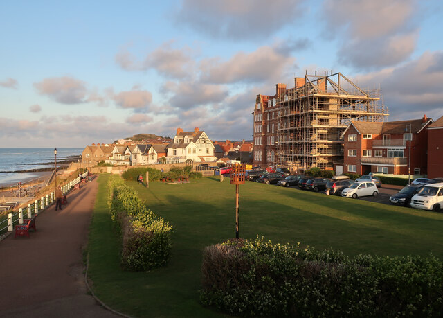
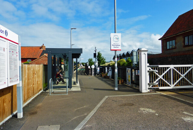
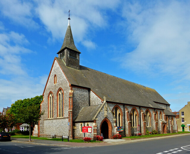
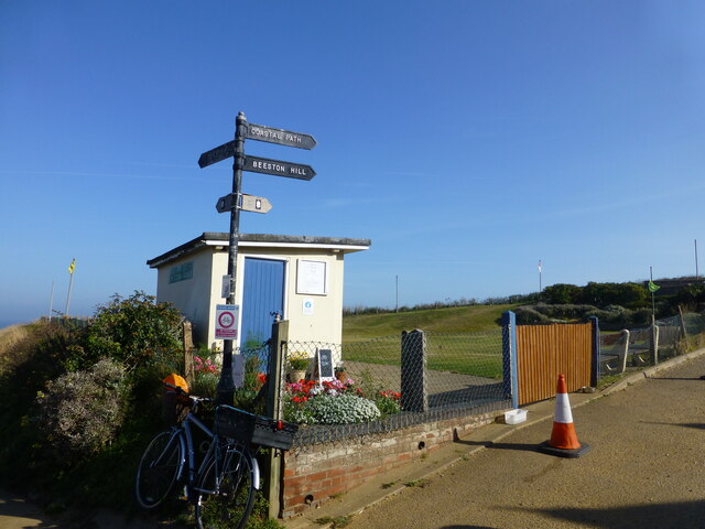
Nuttall's Plantation Images

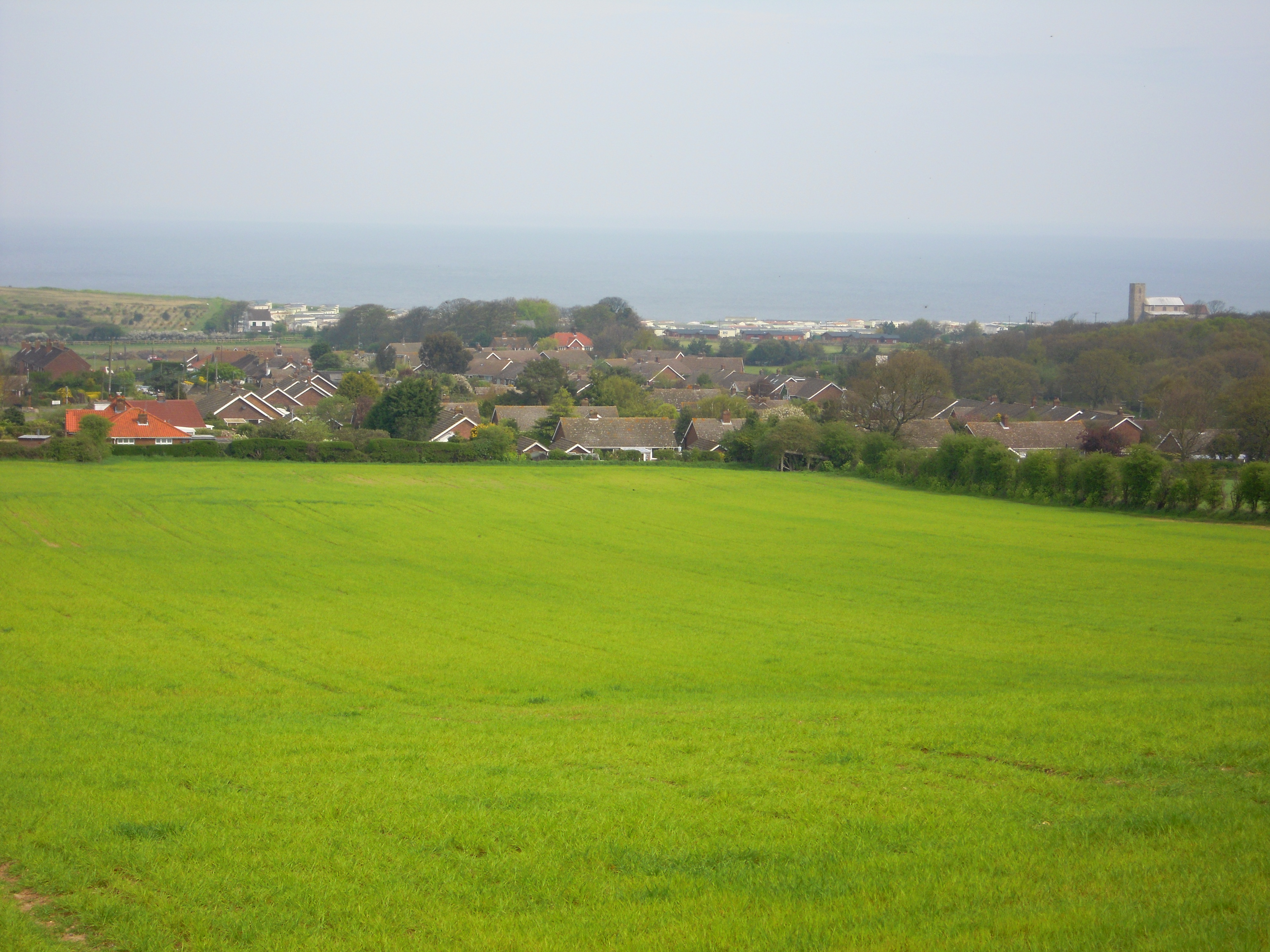
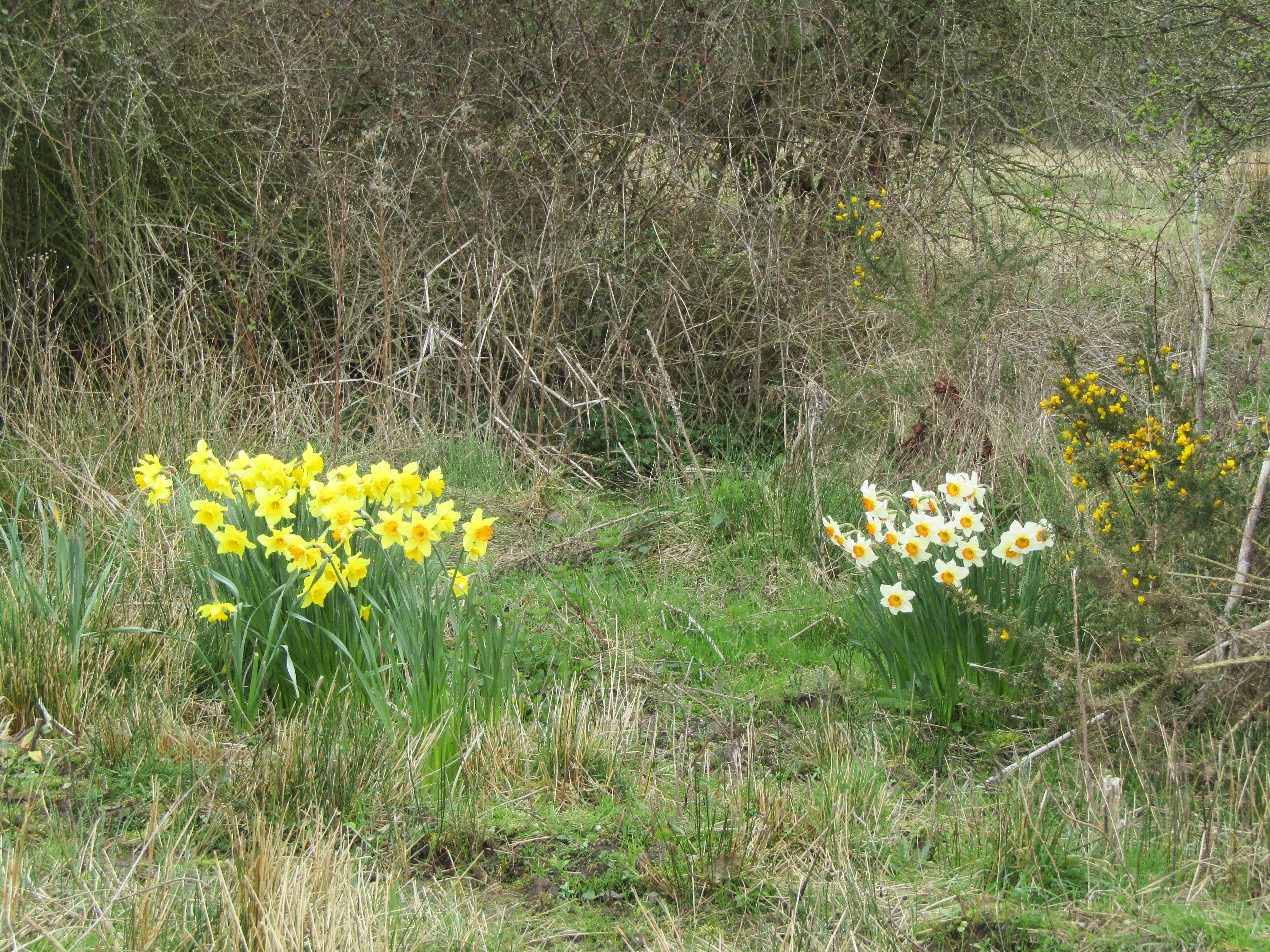
Images are sourced within 2km of 52.93264/1.2225736 or Grid Reference TG1642. Thanks to Geograph Open Source API. All images are credited.

Sheringham Golf Club clubhouse
Cromer Road, Sheringham Floral decorations on pedestrian crossing, Sheringham in Bloom
Cromer Road, Sheringham
Floral decorations on pedestrian crossing, Sheringham in Bloom
Sheringham sea front, looking west
Old revetments at Sheringham No longer preventing further coastal erosion
Old revetments at Sheringham
No longer preventing further coastal erosion
Old revetments at West Runton Looking west
Old revetments at West Runton
Looking west
West Runton station
West Runton station
Seafront at Sheringham With the Burlington Hotel work looking much like it did a year before due to planning issues. A recent, partly retrospective, planning application for changes has been rejected. See <a href="https://www.geograph.org.uk/photo/6572535">TG1543 : Converting the Burlington Hotel</a>
Seafront at Sheringham
With the Burlington Hotel work looking much like it did a year before due to planning issues. A recent, partly retrospective, planning application for changes has been rejected. See TG1543 : Converting the Burlington Hotel
Sheringham Station The national network station lies across the road from the North Norfolk Railway station. Sheringham is the end point for both lines. Potentially, the NNR trains could continue to Cromer.
Sheringham Station
The national network station lies across the road from the North Norfolk Railway station. Sheringham is the end point for both lines. Potentially, the NNR trains could continue to Cromer.
At St Peter's, Sheringham Detail of the carving above the door at St Peter's Church in central Sheringham.
At St Peter's, Sheringham
Detail of the carving above the door at St Peter's Church in central Sheringham.
St Peter's Church Located in central Sheringham near the railway station.
St Peter's Church
Located in central Sheringham near the railway station.
Sheringham Golf Club The clubhouse viewed from a passing train on the North Norfolk Railway.
Sheringham Golf Club
The clubhouse viewed from a passing train on the North Norfolk Railway.
Coastal Path finger post A putting green and ramp down to the seafront is at the start of the climb to Beeston Bump
Coastal Path finger post
A putting green and ramp down to the seafront is at the start of the climb to Beeston Bump
Beeston Bump trig pillar
Sheringham High Street
Lake at holiday park on the Norfolk Coastal Path
Platform view New road as seen from the platform of the mainline station.
Platform view
New road as seen from the platform of the mainline station.
Einstein on the beach (take 2) The mural shown in this picture from 2013 <a href="https://www.geograph.org.uk/photo/3619485">TG1543 : Einstein on the beach</a> has been repainted and this time incorporates Einstein the dog from the "Back to the Future" movies
Einstein on the beach (take 2)
The mural shown in this picture from 2013 TG1543 : Einstein on the beach has been repainted and this time incorporates Einstein the dog from the "Back to the Future" movies
Weston Terrace A row of late Victorian houses on a narrow unadopted road.
Situated off Beeston road.
Weston Terrace
A row of late Victorian houses on a narrow unadopted road. Situated off Beeston road.
Show me another place!

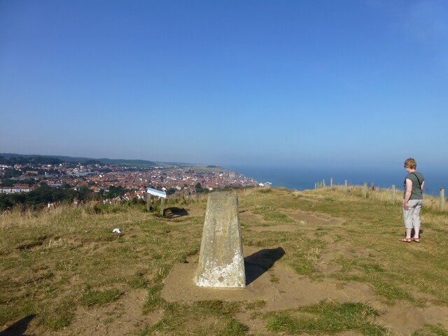
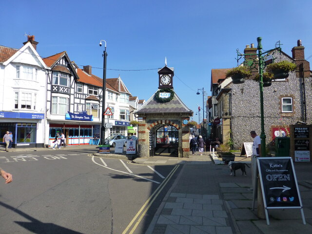
Nuttall's Plantation is located at Grid Ref: TG1642 (Lat: 52.93264, Lng: 1.2225736)

Administrative County: Norfolk

District: North Norfolk

Police Authority: Norfolk

What 3 Words

///birthdays.manage.waltz. Near Sheringham, Norfolk

Nearby Locations

Nuttall's Plantation

Related Wikis

Beeston Regis

Beeston Regis is a village and civil parish in the North Norfolk district of Norfolk, England. It is about a mile (2 km) east of Sheringham, Norfolk and...

Sheringham and Beeston Regis Commons

Sheringham and Beeston Regis Commons is a 24.9-hectare (62-acre) biological Site of Special Scientific Interest in Sheringham in Norfolk. It is a Nature...

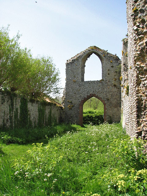
Priory of St Mary in the Meadow, Beeston Regis

The Priory of St Mary in the Meadow, also known as Beeston Priory is a former Augustinian Priory, located in the village of Beeston Regis, Norfolk, United...

Briton's Lane Gravel Pit

Briton's Lane Gravel Pit is a 21.5-hectare (53-acre) geological Site of Special Scientific Interest east of Sheringham in Norfolk. It is a Geological...

Nearby Amenities

Located within 500m of 52.93264,1.2225736
Bus Stop
Poplar Grove, adj
Bus: yes
Naptan AtcoCode: 2900S7030
Naptan Bearing: N
Naptan CommonName: Poplar Grove
Naptan Indicator: adj
Naptan Locality: Sheringham
Naptan NaptanCode: nfodwgpm
Naptan Street: Woodland Rise
Naptan Verified: no
Public Transport: platform
Source: naptan_import
Lat/Long: 52.9339014/1.2161681
Bus Stop
Poplar Grove, opp
Bus: yes
Naptan AtcoCode: 2900S7031
Naptan Bearing: SW
Naptan CommonName: Poplar Grove
Naptan Indicator: opp
Naptan Locality: Sheringham
Naptan NaptanCode: nfodwgpt
Naptan Street: Woodland Rise
Naptan Verified: no
Public Transport: platform
Source: naptan_import
Lat/Long: 52.9338758/1.216449
Tourism: viewpoint
Lat/Long: 52.9298208/1.2277927
Post Box
Lat/Long: 52.933885/1.2238083
Post Box
Britons Lane
Collection Times: Mo-Fr 16:30; Sa 07:30; Su off
Operator: Royal Mail
Post Box Type: lamp
Ref: NR26 2612
Royal Cypher: EIIR
Royal Cypher Wikidata: Q33102113
Lat/Long: 52.9326779/1.2264047
Post Box
Brand: Royal Mail
Brand Wikidata: Q638098
Collection Times: Mo-Fr 09:00; Sa 07:00
Operator: Royal Mail
Operator Wikidata: Q638098
Post Box Type: pillar
Ref: NR26 2624D
Royal Cypher: EIIR
Royal Cypher Wikidata: Q33102113
Lat/Long: 52.9331045/1.2156431
Bench
Backrest: yes
Material: wood
Lat/Long: 52.9345366/1.2272675
Beeston Regis
Inscription: 1100 - 2000
Man Made: village_sign
Material: metal
Start Date: 2000
Lat/Long: 52.9344808/1.2272434
Give Way
Lat/Long: 52.934618/1.2274046
Information: route_marker
Operator: National Trust
Tourism: information
Lat/Long: 52.9297864/1.2278018
Bench
Backrest: no
Lat/Long: 52.9298116/1.2278509
Give Way
Lat/Long: 52.9357014/1.2245183
Give Way
Lat/Long: 52.9338477/1.2239836
Give Way
Lat/Long: 52.9332022/1.221817
Noexit: yes
Lat/Long: 52.934189/1.2221982
Give Way
Lat/Long: 52.9343535/1.2238664
Give Way
Lat/Long: 52.9350176/1.2239832
Barrier: cycle_barrier
Lat/Long: 52.9369284/1.2234973
Sheringham and Beeston Regis Commons
Board Type: nature
Description: Site of Special Scientific Interest
Information: board
Operator: English Nature
Tourism: information
Lat/Long: 52.9367749/1.2219208
Parking
Fee: no
Parking: surface
Lat/Long: 52.9367836/1.2219933
Bench
Backrest: yes
Lat/Long: 52.933502/1.2217299
Bench
Backrest: yes
Lat/Long: 52.9362269/1.2198463
Bench
Backrest: yes
Lat/Long: 52.9361984/1.2197387
Bench
Backrest: yes
Inscription: In memory of Bill and Doreen Spencer / 1918 - 2003 / 1922 - 2005
Material: wood
Lat/Long: 52.9329649/1.2204939
Ford: stepping_stones
Lat/Long: 52.9315873/1.2160379
Give Way
Lat/Long: 52.9370852/1.2231463
Hiking: yes
Information: route_marker
Tourism: information
Lat/Long: 52.931435/1.2169343
Hiking: yes
Information: route_marker
Tourism: information
Lat/Long: 52.930855/1.2163784
Hiking: yes
Information: route_marker
Tourism: information
Lat/Long: 52.9328723/1.2204044
Hiking: yes
Information: route_marker
Tourism: information
Lat/Long: 52.9360247/1.2201097
Hiking: yes
Information: guidepost
Tourism: information
Lat/Long: 52.9367918/1.2219172
The data included in this document is from www.openstreetmap.org. The data is made available under ODbL.

Have you been to Nuttall's Plantation?

Leave your review of Nuttall's Plantation below (or comments, questions and feedback).