Park Plantation East
Wood, Forest in Norfolk South Norfolk
England
Park Plantation East
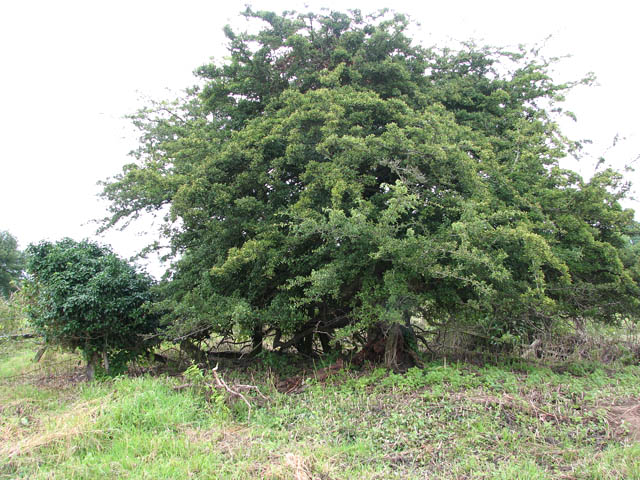
Park Plantation East is a wooded area located in Norfolk, Virginia. It is a part of the larger Park Plantation neighborhood and is known for its lush forests and natural beauty. The area is characterized by its dense tree coverage, with a variety of tree species such as oak, pine, and maple dominating the landscape.
The Wood, Forest area of Park Plantation East is home to numerous walking trails and paths that wind through the trees, providing residents and visitors with the opportunity to enjoy the serene and peaceful environment. These trails offer an escape from the hustle and bustle of city life, allowing individuals to connect with nature and recharge.
The forested area of Park Plantation East is also home to a diverse range of wildlife. Squirrels, rabbits, and various species of birds can often be spotted among the trees, adding to the area's natural charm. The dense vegetation provides shelter and food sources for these animals, creating a thriving ecosystem.
In addition to its natural beauty, Park Plantation East also offers convenient access to nearby amenities. The neighborhood is located within close proximity to schools, shopping centers, and recreational facilities, making it an ideal location for families and individuals looking for a balance between nature and convenience.
Overall, Park Plantation East's Wood, Forest area is a picturesque and tranquil neighborhood that offers residents and visitors the opportunity to immerse themselves in nature while still enjoying the benefits of urban living.
If you have any feedback on the listing, please let us know in the comments section below.
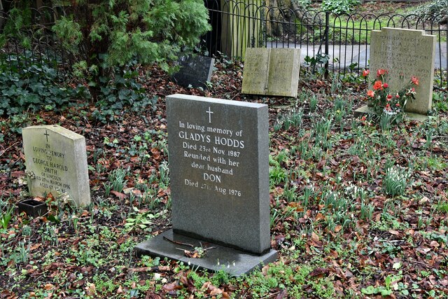
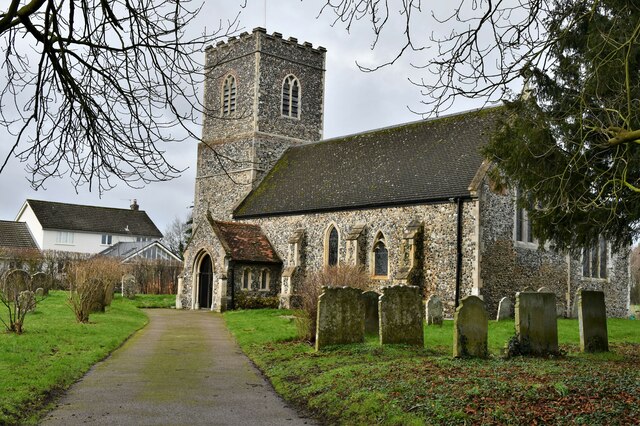
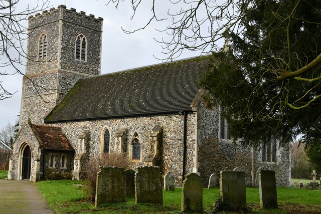
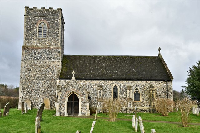
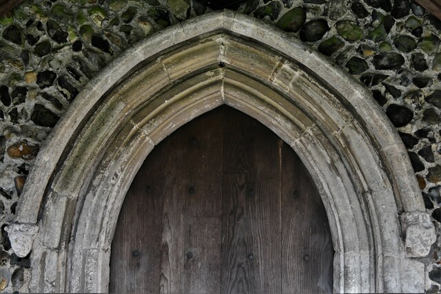
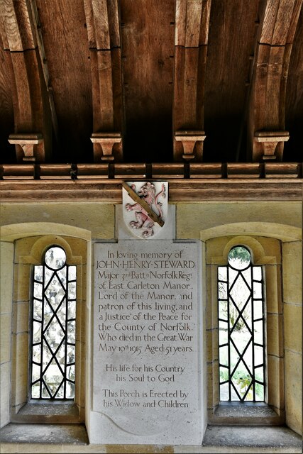
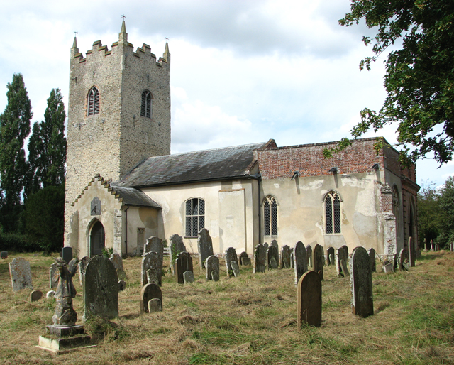
Park Plantation East Images
Images are sourced within 2km of 52.571022/1.1952369 or Grid Reference TG1601. Thanks to Geograph Open Source API. All images are credited.


Park Plantation East is located at Grid Ref: TG1601 (Lat: 52.571022, Lng: 1.1952369)
Administrative County: Norfolk
District: South Norfolk
Police Authority: Norfolk
What 3 Words
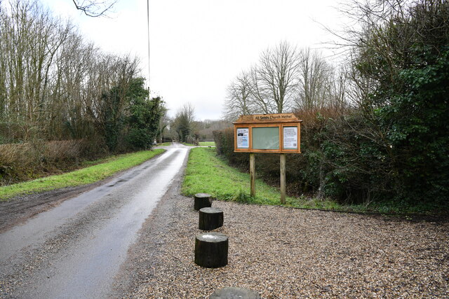
///burglars.blankets.exhale. Near Hethel, Norfolk
Nearby Locations
Related Wikis

Forehoe and Henstead Rural District
Forehoe and Henstead Rural Districts were adjacent rural districts in Norfolk, England from 1894 to 1935.They were formed under the Local Government Act...

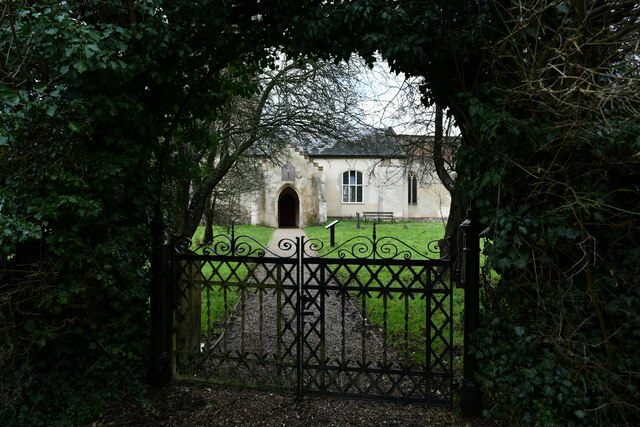
Ketteringham
Ketteringham is a village and civil parish in the English county of Norfolk. The parish covers an area of 6.50 km2 (2.51 sq mi) and had a population of...

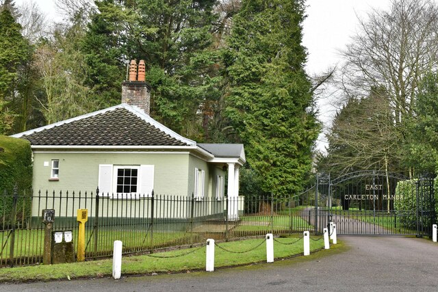
East Carleton
East Carleton is a village and civil parish in the English county of Norfolk. The village is located 6.3 kilometres (3.9 mi) east of nearby Wymondham and...
Hethel Old Thorn
Hethel Old Thorn is a 0.025-hectare (0.062-acre) nature reserve south-west of Norwich in Norfolk. It is managed by the Norfolk Wildlife Trust.This is...

RAF Hethel
Royal Air Force Hethel or more simply RAF Hethel is a former Royal Air Force station (ICAO: EGSK) which was used by both the United States Army Air Forces...
Hethel
Hethel is a small village in the civil parish of Bracon Ash, in the South Norfolk district, in Norfolk, England, approximately five miles (8.0 km) southeast...

Hethersett railway station
Hethersett was a railway station near Hethersett, Norfolk. == History == The Bill for the Norwich & Brandon Railway (N&BR) received Royal Assent on 10...

Murders at Stanfield Hall
The Murders at Stanfield Hall were a notorious Victorian era double murder on 28 November 1848 that was commemorated in print, pottery, wax, as well as...
Nearby Amenities
Located within 500m of 52.571022,1.1952369Have you been to Park Plantation East?
Leave your review of Park Plantation East below (or comments, questions and feedback).