Chilvers Plantation

Wood, Forest in Norfolk South Norfolk

England

Chilvers Plantation

Norwich Road, Thelveton Norgate Lane on the right led to Billingford but has been closed for some time.
Norwich Road, Thelveton Credit: David Howard

Chilvers Plantation is a picturesque woodland located in Norfolk, England. Situated near the village of Wood, this forested area spans approximately 20 acres and is a popular destination for nature enthusiasts and outdoor enthusiasts alike.

The plantation is predominantly composed of native British tree species, including oak, beech, and birch, which create a diverse and vibrant ecosystem. The dense canopy formed by these tall trees provides a sheltered habitat for a wide variety of wildlife, such as birds, mammals, and insects.

Visitors to Chilvers Plantation can explore a network of well-maintained footpaths and trails that wind through the forest, providing an opportunity to immerse oneself in nature. The peaceful ambiance of the woodland, coupled with the soothing sounds of rustling leaves and singing birds, makes it an ideal spot for walking, jogging, or simply enjoying a leisurely stroll.

The woodland is also home to a collection of rare and protected plant species, including various types of wildflowers and ferns. These delicate plants add a touch of beauty and uniqueness to the landscape, making it a haven for botany enthusiasts and nature photographers.

Chilvers Plantation is easily accessible, with parking facilities available nearby. It offers a tranquil escape from the hustle and bustle of everyday life, providing visitors with an opportunity to connect with nature and appreciate the beauty of Norfolk's woodlands. Whether it's for a peaceful walk, wildlife spotting, or enjoying the seasonal changes, Chilvers Plantation is a must-visit destination for nature enthusiasts and those seeking a tranquil retreat.

If you have any feedback on the listing, please let us know in the comments section below.

Chilvers Plantation Images

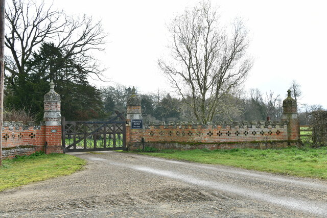
Images are sourced within 2km of 52.385626/1.1813374 or Grid Reference TM1681. Thanks to Geograph Open Source API. All images are credited.

Norwich Road, Thelveton Norgate Lane on the right led to Billingford but has been closed for some time.
Norwich Road, Thelveton
Norgate Lane on the right led to Billingford but has been closed for some time.
Norwich Road at the junction of the Scole Bypass
Layby on the Scole Bypass, Thelveton
Norwich Road, Thelveton
Rape field by Norwich Road, Thelveton
Norwich Road, Thelveton
Layby on the Scole Bypass, Thelveton
Thelveton: Grange Farm Cottages
Thelveton: Entrance to West Lodge
Thelveton, St. Andrew's Church: Northern aspect
Thelveton: The Old Manor House
Thelveton: Post box
Thelveton: Post box
Thelveton: Junction of Norwich Road and Norgate Lane
Thelveton, St. Andrew's Church: Part of the churchyard with daffodils about to flower
Thelveton, St. Andrew's Church: The top of the west window
Thelveton, St. Andrew's Church: Southern aspect
Show me another place!

Chilvers Plantation is located at Grid Ref: TM1681 (Lat: 52.385626, Lng: 1.1813374)

Administrative County: Norfolk

District: South Norfolk

Police Authority: Norfolk

What 3 Words

///branching.rigid.lofts. Near Dickleburgh, Norfolk

Nearby Locations

Chilvers Plantation

Related Wikis

Thelveton

Thelveton (historically Thelton, earlier Telvetun) is a village and former civil parish, now in the parish of Scole, in the South Norfolk district, in...

Dickleburgh

Dickleburgh is a village and former civil parish, now in the parish of Dickleburgh and Rushall, in the South Norfolk district of the English county of...

Rushall, Norfolk

Rushall is a village and former civil parish, now in the parish of Dickleburgh and Rushall, in the South Norfolk district, in the county of Norfolk, England...

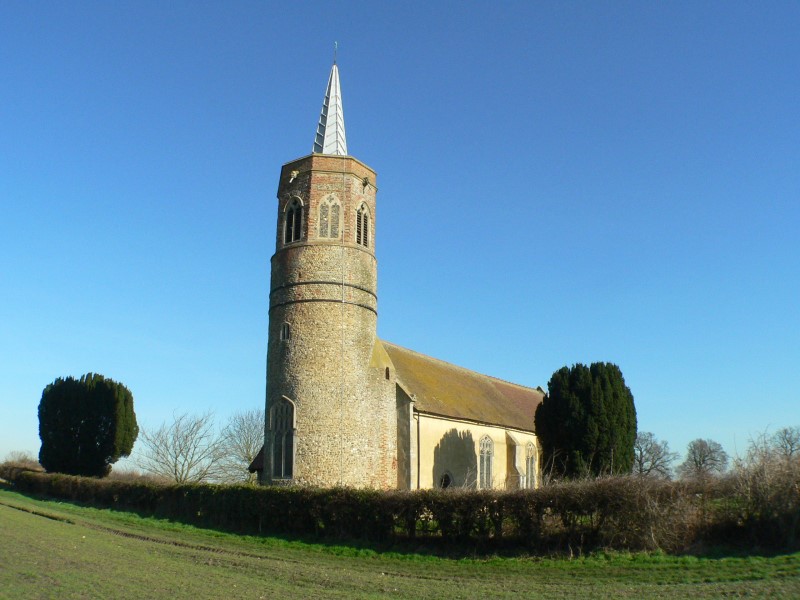
St George's Church, Shimpling

St George's Church is a redundant Anglican church in the village of Shimpling, Norfolk, England. It is recorded in the National Heritage List for England...

Nearby Amenities

Located within 500m of 52.385626,1.1813374
Kerb: no
Lat/Long: 52.3866469/1.1801942
Bus Stop
Thelveton Norwich Road / East Lodge
Bench: no
Bin: no
Bus: yes
Covered: no
Naptan AtcoCode: 2900S0812
Naptan Bearing: S
Naptan BusStopType: CUS
Naptan CommonName: Norwich Road
Naptan Indicator: adj
Naptan Landmark: Hall Gates
Naptan Locality: Thelveton
Naptan NaptanCode: nfodtawj
Naptan ShortCommonName: Norwich Road
Naptan Street: Norwich Road
Naptan Verified: yes
Passenger Information Display: no
Public Transport: platform
Shelter: no
Source: naptan_import;survey
Tactile Paving: yes
Lat/Long: 52.3839845/1.1752805
Bus Stop
Thelveton Norwich Road / Orchard Cottages
Bench: no
Bin: no
Bus: yes
Covered: no
Naptan AtcoCode: 2900S087
Naptan Bearing: NE
Naptan BusStopType: CUS
Naptan CommonName: Norwich Road
Naptan Indicator: opp
Naptan Landmark: Hall Gates
Naptan Locality: Thelveton
Naptan NaptanCode: nfodtdaj
Naptan ShortCommonName: Norwich Road
Naptan Street: Norwich Road
Naptan Verified: yes
Passenger Information Display: no
Public Transport: platform
Shelter: no
Source: naptan_import;survey
Tactile Paving: yes
Lat/Long: 52.3837657/1.175233
Parking
Fee: no
Parking: surface
Lat/Long: 52.3854618/1.1765679
Thelveton
Place: hamlet
Wikidata: Q7781125
Lat/Long: 52.3849879/1.1762409
Kerb: no
Lat/Long: 52.3863352/1.1803174
Barrier: stile
Bicycle: no
Foot: yes
Material: wood
Stile: stepover
Lat/Long: 52.3865088/1.1797764
Note: Barrier continues S
Lat/Long: 52.3848458/1.1795715
Note: Barrier continues N
Lat/Long: 52.3884176/1.1805167
Post Box
Collection Times: Mo-Fr 17:00; Sa 09:00
Operator: Royal Mail
Post Box Type: lamp
Ref: IP21 7147
Royal Cypher: EIIR
Royal Cypher Wikidata: Q33102113
Source: survey
Lat/Long: 52.3854788/1.1766547
Historic: milestone
Inscription: THELVETON / TO NORWICH 18M / TO IPSWICH 25M
Wikidata: Q111791468
Lat/Long: 52.3846382/1.1757631
Board Type: notice
Information: board
Operator: Scole Parish Council
Tourism: information
Lat/Long: 52.3854956/1.176665
The data included in this document is from www.openstreetmap.org. The data is made available under ODbL.

Have you been to Chilvers Plantation?

Leave your review of Chilvers Plantation below (or comments, questions and feedback).