Osier Carr

Wood, Forest in Norfolk North Norfolk

England

Osier Carr

Automated shoveller at the Horse Sanctuary This machine, at the Hillside Shire Horse Centre, collects horse dung from the ground ... and there's a lot of it.
Automated shoveller at the Horse Sanctuary Credit: Gareth James

Osier Carr is a small village located in the county of Norfolk, England. Situated in the eastern part of the country, it falls within the administrative district of the Broadland district. The village is known for its picturesque setting in a woodland area, surrounded by lush greenery and natural beauty.

The name "Osier Carr" originates from the term "osier," which refers to a type of willow tree that grows abundantly in the area. This is indicative of the village's rich woodland environment, characterized by a dense forest of various tree species.

The village is home to a close-knit community, with a population of approximately 300 residents. The residents of Osier Carr enjoy a peaceful and tranquil lifestyle, away from the hustle and bustle of larger towns and cities. The village is primarily residential, with a scattering of traditional cottages and houses nestled among the trees.

Nature lovers are drawn to Osier Carr's natural surroundings, which provide ample opportunities for outdoor activities such as hiking, birdwatching, and wildlife spotting. The nearby woodlands are teeming with diverse flora and fauna, making it a haven for nature enthusiasts.

Despite its small size, Osier Carr is well-connected to nearby towns and cities, with good road links and public transport options. The village boasts a sense of community spirit, with various social events and activities held throughout the year, including a popular annual summer fair.

In summary, Osier Carr is a charming Norfolk village known for its woodland setting, close-knit community, and natural beauty. It offers a peaceful retreat for those seeking a tranquil lifestyle amid picturesque surroundings.

If you have any feedback on the listing, please let us know in the comments section below.
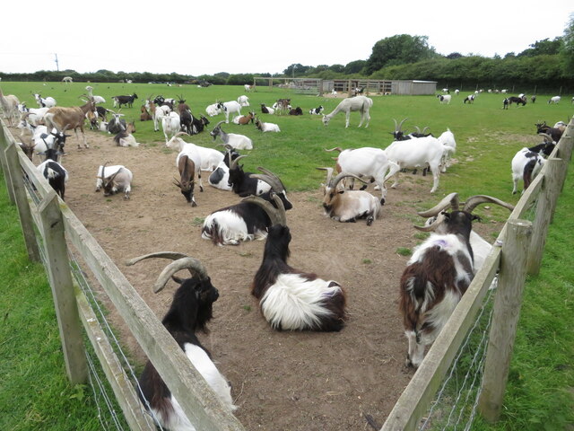
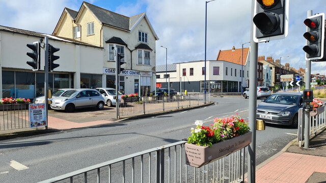
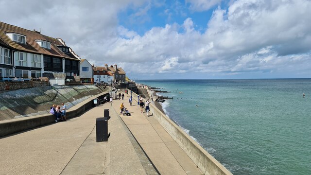
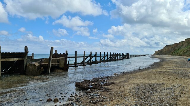
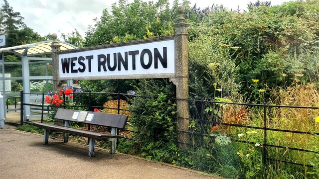
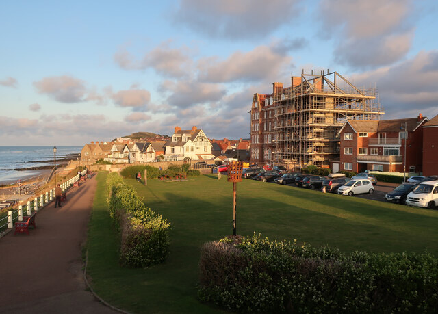
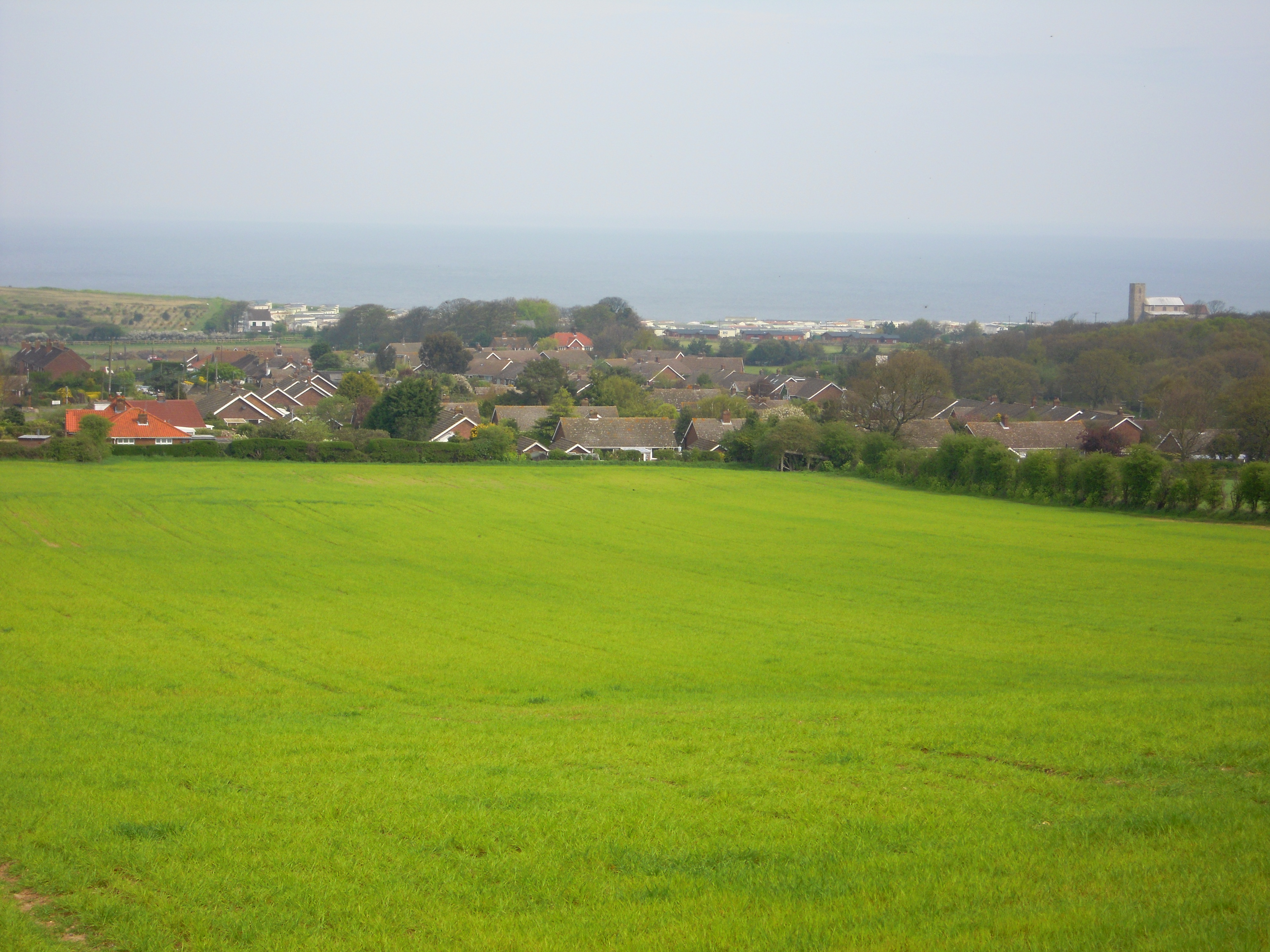
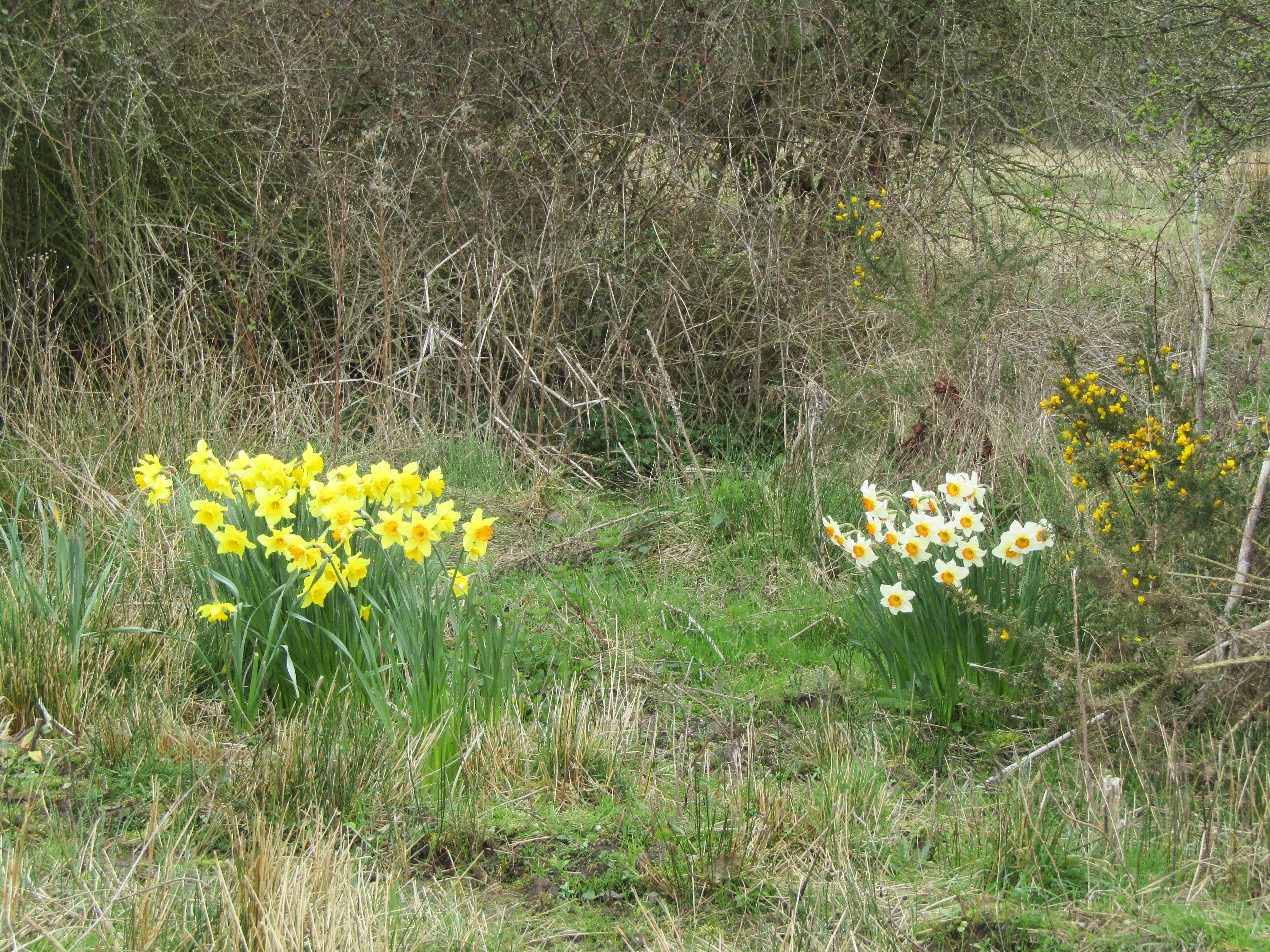
Osier Carr Images

Images are sourced within 2km of 52.929905/1.2183221 or Grid Reference TG1641. Thanks to Geograph Open Source API. All images are credited.

Automated shoveller at the Horse Sanctuary This machine, at the Hillside Shire Horse Centre, collects horse dung from the ground ... and there's a lot of it.
Automated shoveller at the Horse Sanctuary
This machine, at the Hillside Shire Horse Centre, collects horse dung from the ground ... and there's a lot of it.
North Norfolk Railway at Sheringham British Railways class 9F No. 92203 runs around its train at Sheringham station on the North Norfolk Railway.
North Norfolk Railway at Sheringham
British Railways class 9F No. 92203 runs around its train at Sheringham station on the North Norfolk Railway.
Cattle at Hillside animal sanctuary, West Runton
Goats at Hillside animal sanctuary, West Runton
Horses and donkeys at Hillside animal sanctuary, West Runton
North Norfolk Railway at Sheringham Class 37 No. D6732 awaits departure time for Holt while BR Standard 4 No. 76084 arrives with a goods train.
North Norfolk Railway at Sheringham
Class 37 No. D6732 awaits departure time for Holt while BR Standard 4 No. 76084 arrives with a goods train.
North Norfolk Railway at Sheringham British Railways Standard 4 No. 76084 shunts in the sidings, while in the distance, class 31 No. D5631 can be seen in the station.
North Norfolk Railway at Sheringham
British Railways Standard 4 No. 76084 shunts in the sidings, while in the distance, class 31 No. D5631 can be seen in the station.
North Norfolk Railway at Sheringham Newly refurbished and repainted class 31 No. D5631 awaits departure time at Sheringham station with a train for Holt.
North Norfolk Railway at Sheringham
Newly refurbished and repainted class 31 No. D5631 awaits departure time at Sheringham station with a train for Holt.
Lifeboat mural, Sheringham Part of the Sheringham Art and Sculpture Trail. With an attendant Turnstone, as there often is in Sheringham.
Lifeboat mural, Sheringham
Part of the Sheringham Art and Sculpture Trail. With an attendant Turnstone, as there often is in Sheringham.
Sheringham Golf Club clubhouse
Cromer Road, Sheringham Floral decorations on pedestrian crossing, Sheringham in Bloom
Cromer Road, Sheringham
Floral decorations on pedestrian crossing, Sheringham in Bloom
Sheringham sea front, looking west
Old revetments at Sheringham No longer preventing further coastal erosion
Old revetments at Sheringham
No longer preventing further coastal erosion
West Runton station
West Runton station
All Saints parish church, Upper Sheringham A magnificent building for such a small hamlet
All Saints parish church, Upper Sheringham
A magnificent building for such a small hamlet
Seafront at Sheringham With the Burlington Hotel work looking much like it did a year before due to planning issues. A recent, partly retrospective, planning application for changes has been rejected. See <a href="https://www.geograph.org.uk/photo/6572535">TG1543 : Converting the Burlington Hotel</a>
Seafront at Sheringham
With the Burlington Hotel work looking much like it did a year before due to planning issues. A recent, partly retrospective, planning application for changes has been rejected. See TG1543 : Converting the Burlington Hotel
Sheringham Station The national network station lies across the road from the North Norfolk Railway station. Sheringham is the end point for both lines. Potentially, the NNR trains could continue to Cromer.
Sheringham Station
The national network station lies across the road from the North Norfolk Railway station. Sheringham is the end point for both lines. Potentially, the NNR trains could continue to Cromer.
At St Peter's, Sheringham Detail of the carving above the door at St Peter's Church in central Sheringham.
At St Peter's, Sheringham
Detail of the carving above the door at St Peter's Church in central Sheringham.
Show me another place!

Osier Carr is located at Grid Ref: TG1641 (Lat: 52.929905, Lng: 1.2183221)

Administrative County: Norfolk

District: North Norfolk

Police Authority: Norfolk

What 3 Words

///papers.including.interval. Near Sheringham, Norfolk

Related Wikis

Beeston Regis

Beeston Regis is a village and civil parish in the North Norfolk district of Norfolk, England. It is about a mile (2 km) east of Sheringham, Norfolk and...

Sheringham and Beeston Regis Commons

Sheringham and Beeston Regis Commons is a 24.9-hectare (62-acre) biological Site of Special Scientific Interest in Sheringham in Norfolk. It is a Nature...

Briton's Lane Gravel Pit

Briton's Lane Gravel Pit is a 21.5-hectare (53-acre) geological Site of Special Scientific Interest east of Sheringham in Norfolk. It is a Geological...

A1082 road

The A1082 is an English A road entirely in the county of Norfolk. It runs from a junction with the A148 King's Lynn to Cromer Road to a roundabout on the...

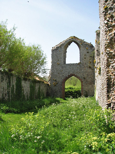
Priory of St Mary in the Meadow, Beeston Regis

The Priory of St Mary in the Meadow, also known as Beeston Priory is a former Augustinian Priory, located in the village of Beeston Regis, Norfolk, United...

Wood-Dene School

Wood-Dene School was a private school for the creative arts in the English county of Norfolk in Great Britain, closing during March 2010. The school was...

Sheringham

Sheringham (; population 7,367) is a seaside town and civil parish in the county of Norfolk, England. The motto of the town, granted in 1953 to the Sheringham...

Sheringham railway station

Sheringham railway station is the northern terminus of the Bittern Line in Norfolk, England, serving the town of Sheringham. It is 30 miles 22 chains...

Nearby Amenities

Located within 500m of 52.929905,1.2183221
Willow Grove, opp
Naptan AtcoCode: 2900S7029
Naptan Bearing: W
Naptan BusStopType: CUS
Naptan CommonName: Willow Grove
Naptan Indicator: opp
Naptan Locality: Sheringham
Naptan NaptanCode: nfodwgpj
Naptan Street: Woodland Rise West
Naptan Verified: no
Source: naptan_import
Lat/Long: 52.9319777/1.212483
Bus Stop
Poplar Grove, adj
Bus: yes
Naptan AtcoCode: 2900S7030
Naptan Bearing: N
Naptan CommonName: Poplar Grove
Naptan Indicator: adj
Naptan Locality: Sheringham
Naptan NaptanCode: nfodwgpm
Naptan Street: Woodland Rise
Naptan Verified: no
Public Transport: platform
Source: naptan_import
Lat/Long: 52.9339014/1.2161681
Bus Stop
Poplar Grove, opp
Bus: yes
Naptan AtcoCode: 2900S7031
Naptan Bearing: SW
Naptan CommonName: Poplar Grove
Naptan Indicator: opp
Naptan Locality: Sheringham
Naptan NaptanCode: nfodwgpt
Naptan Street: Woodland Rise
Naptan Verified: no
Public Transport: platform
Source: naptan_import
Lat/Long: 52.9338758/1.216449
Turning Circle
Lat/Long: 52.9333858/1.2149768
Turning Circle
Lat/Long: 52.9326509/1.2142747
Sheringwood
Capacity: 5
Phone: +44 1263822799
Tourism: caravan_site
Lat/Long: 52.9274542/1.2204479
Man Made: sign
Lat/Long: 52.9283849/1.2167408
Post Box
Collection Times: Mo-Fr 16:15; Sa 07:30
Note: Plate paper missing, aperture unblocked, ref/times from Royal Mail
Operator: Royal Mail
Post Box Type: wall
Ref: NR26 2622
Royal Cypher: EIIR
Royal Cypher Wikidata: Q33102113
Lat/Long: 52.9284154/1.2167191
Communication Mobile Phone: yes
Man Made: mast
Material: metal
Operator: Arqiva;O2-UK;Vodafone UK;Three UK;EE
Operator Wikidata: Q4795774
Tower Construction: lattice
Tower Type: communication
Lat/Long: 52.9306717/1.2139277
Post Box
Brand: Royal Mail
Brand Wikidata: Q638098
Collection Times: Mo-Fr 09:00; Sa 07:00
Operator: Royal Mail
Operator Wikidata: Q638098
Post Box Type: pillar
Ref: NR26 2624D
Royal Cypher: EIIR
Royal Cypher Wikidata: Q33102113
Lat/Long: 52.9331045/1.2156431
Barrier: kissing_gate
Lat/Long: 52.9280792/1.2136622
Give Way
Lat/Long: 52.9332022/1.221817
Bench
Backrest: yes
Lat/Long: 52.933502/1.2217299
Bench
Backrest: yes
Inscription: In memory of Bill and Doreen Spencer / 1918 - 2003 / 1922 - 2005
Material: wood
Lat/Long: 52.9329649/1.2204939
Ford: stepping_stones
Lat/Long: 52.9315873/1.2160379
Historic: boundary_stone
Inscription: SGW Co 1934
Material: concrete
Lat/Long: 52.9295456/1.2132498
Bench
Backrest: no
Lat/Long: 52.9299019/1.2124176
Bench
Backrest: yes
Inscription: For Jane and her Dad / Woodland Trust
Material: wood
Lat/Long: 52.9294703/1.2123057
Ford: yes
Lat/Long: 52.9306307/1.2128476
Barrier: kissing_gate
Lat/Long: 52.9280377/1.2138667
Historic: boundary_stone
Lat/Long: 52.928032/1.2131199
Pretty Corner Woods
Boundary: marker
Inscription: The part of Pretty Corner Woods known as Sheringham Wood has been purchased by Sheringham Town Council to ensure that the publci can continue to enjoy access
Material: wood
Lat/Long: 52.9305935/1.2136084
Waste Basket
Colour: red
Material: plastic
Waste: dog_excrement
Lat/Long: 52.9306715/1.2135735
Hiking: yes
Information: guidepost
Tourism: information
Lat/Long: 52.9321488/1.2150561
Hiking: yes
Information: route_marker
Tourism: information
Lat/Long: 52.931435/1.2169343
Hiking: yes
Information: route_marker
Tourism: information
Lat/Long: 52.930855/1.2163784
Hiking: yes
Information: route_marker
Tourism: information
Lat/Long: 52.9328723/1.2204044
The data included in this document is from www.openstreetmap.org. The data is made available under ODbL.

Have you been to Osier Carr?

Leave your review of Osier Carr below (or comments, questions and feedback).