Well Plantation

Wood, Forest in Norfolk South Norfolk

England

Well Plantation

Bracon Ash, Hill Farm: Farmhouse
Bracon Ash, Hill Farm: Farmhouse Credit: Michael Garlick

Well Plantation is a picturesque woodland area located in Norfolk, England. Spanning over several acres, this plantation is a prime example of the region's natural beauty and is a popular destination for nature enthusiasts and hikers alike.

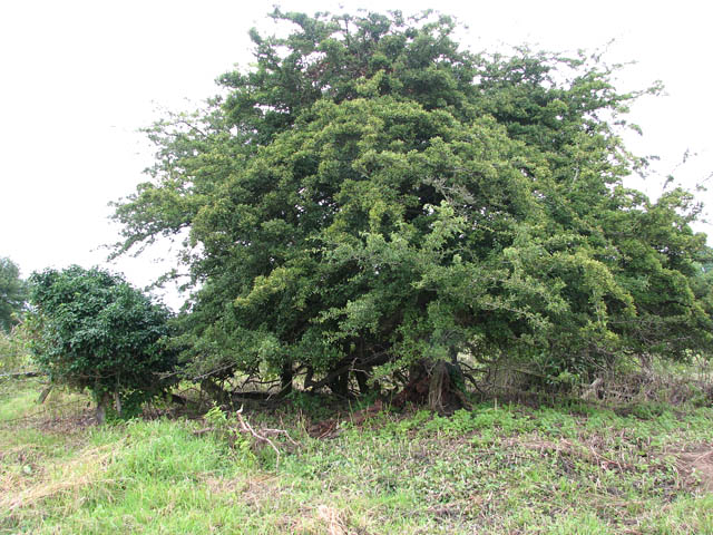
The plantation is characterized by its dense and thriving forest, which is predominantly made up of various species of deciduous and evergreen trees. The vibrant foliage creates an enchanting atmosphere throughout the year, with a kaleidoscope of colors in the autumn months and a lush green canopy during the spring and summer seasons.

Trails wind through the plantation, offering visitors the opportunity to explore its diverse landscape and observe the local flora and fauna. The well-maintained paths cater to a range of abilities, making it accessible for families and individuals of all ages.

The plantation's rich biodiversity is evident in the abundance of wildlife that calls it home. Birdwatchers can spot a wide array of species, including woodpeckers, owls, and numerous songbirds. Small mammals, such as squirrels and rabbits, also thrive in the woodland, while the occasional deer can be spotted grazing in the more secluded areas.

In addition to its natural beauty, Well Plantation also holds historical significance. Remnants of ancient settlements have been discovered within its boundaries, providing a glimpse into the area's past. Archaeological excavations have unearthed pottery fragments, flint tools, and other artifacts, offering valuable insights into the lives of the people who once inhabited this land.

Well Plantation in Norfolk is a captivating destination that seamlessly combines natural beauty with historical intrigue, making it a must-visit location for anyone seeking a tranquil escape into the heart of nature.

If you have any feedback on the listing, please let us know in the comments section below.

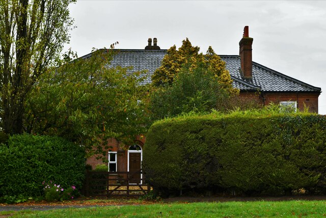
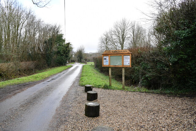
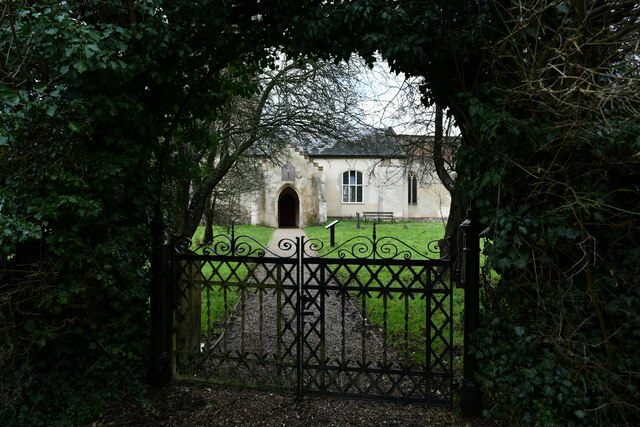
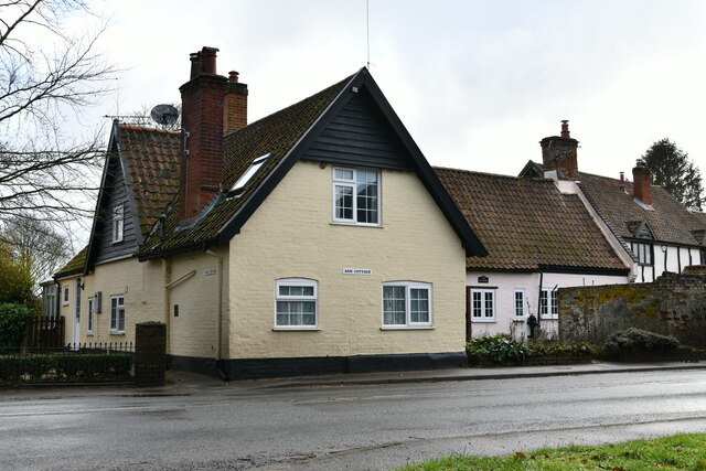
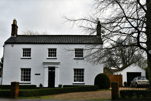
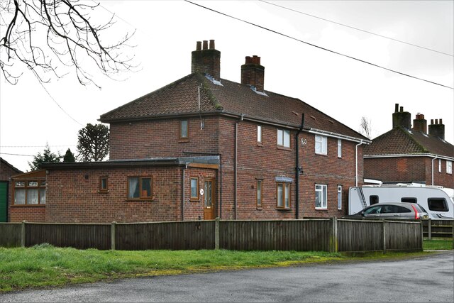
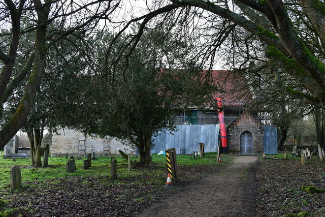
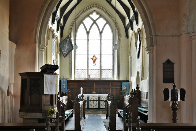
Well Plantation Images

Images are sourced within 2km of 52.557689/1.1907553 or Grid Reference TG1600. Thanks to Geograph Open Source API. All images are credited.

Bracon Ash, Hill Farm: Farmhouse
Hethel: Church Lane outside All Saints Church
Hethel: Entrance to All Saints Church
Bracon Ash: 'Ash Cottage'
Bracon Ash: 'Beech House'
Bracon Ash: 9, School Close
Bracon Ash, St. Nicholas' Church: Northern aspect
Bracon Ash, St. Nicholas' Church: The chancel
Hethel, All Saints Church: Natural history in the churchyard
Hethel, All Saints Church: Millennium sundial on the south porch south wall
Hethel, All Saints Church: The nave
Hethel, All Saints Church: The font
Hethel, All Saints Church: The pulpit
Hethel, All Saints Church: Branthwaite memorial wall brass plaque
Hethel, All Saints Church: Alabaster monument for Miles Branthwaite and his wife, Mary 1
Hethel, All Saints Church: Alabaster monument for Miles Branthwaite and his wife, Mary 2 Miles in legal dress.
Hethel, All Saints Church: Alabaster monument for Miles Branthwaite and his wife, Mary 2
Miles in legal dress.
Hethel, All Saints Church: Alabaster monument for Miles Branthwaite and his wife, Mary 3
Hethel, All Saints Church: Alabaster monument for Miles Branthwaite and his wife, Mary 4
Show me another place!

Well Plantation is located at Grid Ref: TG1600 (Lat: 52.557689, Lng: 1.1907553)

Administrative County: Norfolk

District: South Norfolk

Police Authority: Norfolk

What 3 Words

///snares.finishers.expires. Near Hethel, Norfolk

Related Wikis

Hethel Old Thorn

Hethel Old Thorn is a 0.025-hectare (0.062-acre) nature reserve south-west of Norwich in Norfolk. It is managed by the Norfolk Wildlife Trust. This is...

Hethel

Hethel is a small village in the civil parish of Bracon Ash, in the South Norfolk district, in Norfolk, England, approximately five miles (8.0 km) southeast...

Forehoe and Henstead Rural District

Forehoe and Henstead Rural Districts were adjacent rural districts in Norfolk, England from 1894 to 1935. They were formed under the Local Government Act...

RAF Hethel

Royal Air Force Hethel or more simply RAF Hethel is a former Royal Air Force station (ICAO: EGSK) which was used by both the United States Army Air Forces...

Nearby Amenities

Located within 500m of 52.557689,1.1907553
Barrier: stile
Bicycle: no
Foot: yes
Material: wood
Note: 29-9-2014 Stile and fence broken
Stile: stepover
Lat/Long: 52.5578047/1.1916148
Bench
Lat/Long: 52.5580485/1.1893541
USAAF 389th Bomb Group, Memorial, Museum & Chapel
Historic: memorial
Website: https://www.overgrownpath.com/2005/01/memories-of-usaaf-389th-bomb-group-at.html
Wikidata: Q103802422
Lat/Long: 52.561676/1.1891234
Bench
Backrest: yes
Colour: black
Material: wood
Seats: 3
Lat/Long: 52.5577519/1.1932926
Man Made: surveillance
Surveillance: public
Lat/Long: 52.5578992/1.183588
Entrance: yes
Lat/Long: 52.5616551/1.1891889
Entrance: yes
Lat/Long: 52.5616532/1.1891228
Entrance: yes
Lat/Long: 52.5616375/1.1890679
Man Made: flagpole
Lat/Long: 52.5616209/1.1892415
Man Made: flagpole
Lat/Long: 52.5616089/1.189203
Bench
Backrest: yes
Material: wood
Seats: 3
Lat/Long: 52.561623/1.1887302
Bench
Backrest: yes
Material: wood
Seats: 3
Lat/Long: 52.561625/1.1888006
Bench
Backrest: yes
Material: wood
Seats: 3
Lat/Long: 52.5616287/1.1888871
Bench
Backrest: yes
Material: wood
Seats: 3
Lat/Long: 52.5616474/1.189034
Barrier: stile
Bicycle: no
Foot: yes
Material: wood
Note: Stile and fence broken
Stile: stepover
Lat/Long: 52.5578294/1.191511
The data included in this document is from www.openstreetmap.org. The data is made available under ODbL.

Have you been to Well Plantation?

Leave your review of Well Plantation below (or comments, questions and feedback).