Beech Plantation

Wood, Forest in Norfolk South Norfolk

England

Beech Plantation

Richmond Road
Richmond Road Credit: Hugh Venables

Beech Plantation, located in Norfolk, England, is a sprawling and picturesque woodland that forms part of the larger Norfolk Forest. The plantation is predominantly composed of beech trees, which lend their name to the area. Covering an expansive area, Beech Plantation is a haven for nature enthusiasts and a popular destination for locals and tourists alike.

The plantation boasts a diverse range of flora and fauna, with an emphasis on preserving the natural ecosystem. Walking through the forest, visitors can expect to encounter an array of wildlife, including deer, squirrels, and a variety of bird species. The tranquil atmosphere and lush greenery make Beech Plantation an ideal location for hiking, birdwatching, and nature photography.

The plantation is well-maintained, with designated paths and trails that allow visitors to explore the area easily. These paths wind through the dense forest, offering glimpses of the enchanting beauty of the beech trees and the vibrant undergrowth. Additionally, there are picnic areas and benches strategically placed throughout the plantation, providing visitors with the opportunity to sit back, relax, and immerse themselves in the natural surroundings.

Beech Plantation is open to the public year-round, and there is no admission fee. The plantation is easily accessible, with ample parking available for visitors. Whether one is seeking a peaceful walk in nature, a chance to observe wildlife, or simply a break from the hustle and bustle of daily life, Beech Plantation offers a serene and captivating experience for all who venture into its woodland realm.

If you have any feedback on the listing, please let us know in the comments section below.

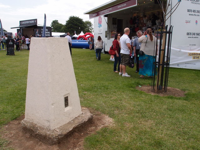
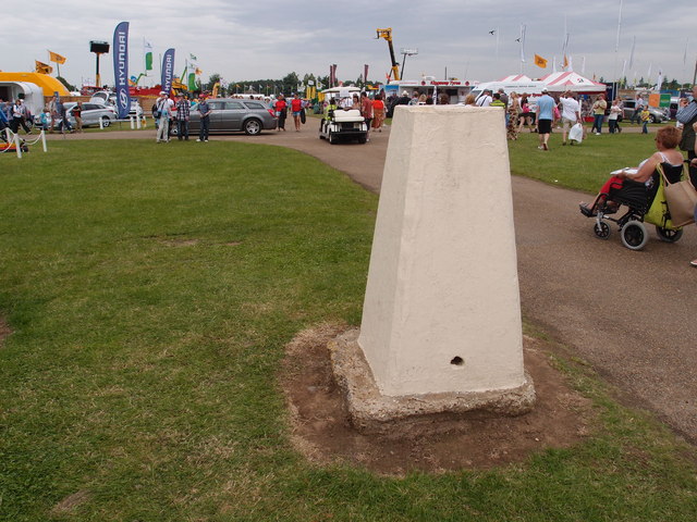
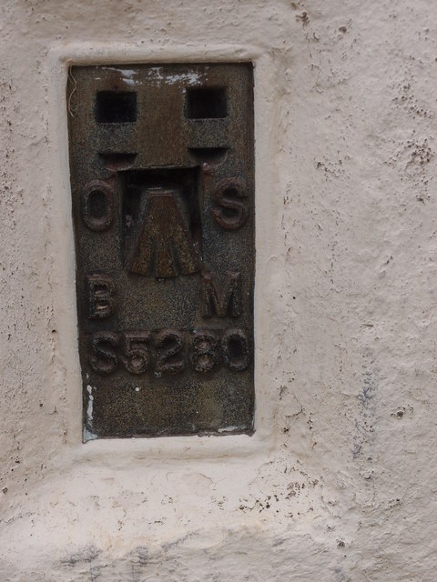
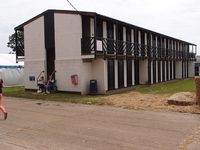
Beech Plantation Images

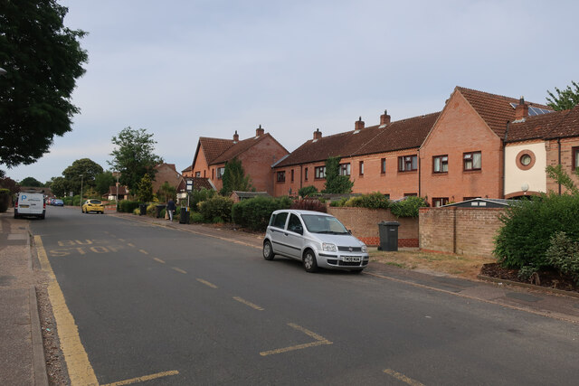
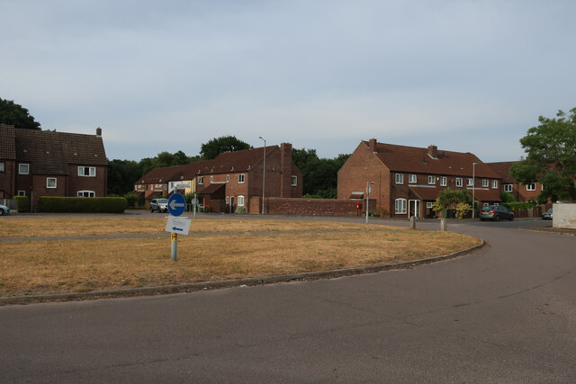
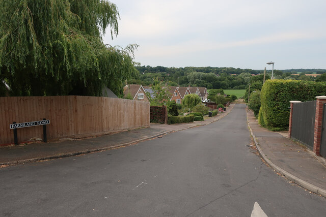
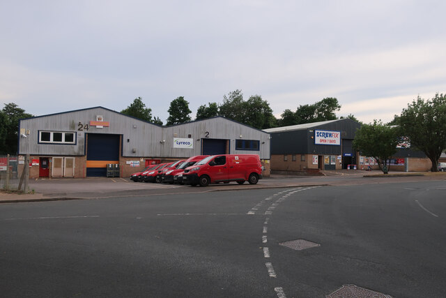
Images are sourced within 2km of 52.642159/1.1935928 or Grid Reference TG1609. Thanks to Geograph Open Source API. All images are credited.

Richmond Road
Richmond Road
Middleton Crescent
Middleton Crescent
Farmland Road, New Costessey
Old Milestone by Dereham Road, near Royal Norfolk Showground Metal plate attached to stone post by the UC road, in parish of COSTESSEY (SOUTH NORFOLK District), Dereham Road, 70yds West of Costessey Lodge entrance, rear of grass verge against wooden fence, on North side of road. Dereham iron plate, erected by the Norwich & Swaffham turnpike trust in the 19th century. An earlier photograph can be found here <a title="https://www.geograph.org.uk/photo/6037516" href="https://www.geograph.org.uk/photo/6037516">Link</a>.

Inscription reads:-
NORWICH
5
DEREHAM
11 
Carved benchmark on lower right side. 

Milestone Society National ID: NO_NSM05.
Old Milestone by Dereham Road, near Royal Norfolk Showground
Metal plate attached to stone post by the UC road, in parish of COSTESSEY (SOUTH NORFOLK District), Dereham Road, 70yds West of Costessey Lodge entrance, rear of grass verge against wooden fence, on North side of road. Dereham iron plate, erected by the Norwich & Swaffham turnpike trust in the 19th century. An earlier photograph can be found here Link. Inscription reads:- NORWICH 5 DEREHAM 11 Carved benchmark on lower right side. Milestone Society National ID: NO_NSM05.
Royal Mail depot and Screwfix, Bowthorpe Industrial Area
Sinclair International, Jarrold Way Producing labels for fresh produce.
Sinclair International, Jarrold Way
Producing labels for fresh produce.
Fox Joinery, Bowthorpe Industrial Area
Bowthorpe Park Industrial Estate
Bowthorpe water tower
Sainsbury's, Norwich The Longwater branch that's so big, it could almost be a hypermarket.
Sainsbury's, Norwich
The Longwater branch that's so big, it could almost be a hypermarket.
Costessey Park & Ride bus terminal The site has 1100 parking spaces and bus services to Norwich via the University of East Anglia and to the Norfolk and Norwich University Hospital.
Costessey Park & Ride bus terminal
The site has 1100 parking spaces and bus services to Norwich via the University of East Anglia and to the Norfolk and Norwich University Hospital.
Exhibition Hall and Reception area, Royal Norfolk Showground The latest addition to the Royal Norfolk Show ground at Costessey.
A Norfolk show has been held since 1847 it gained its Royal prefix in 1908. From 1953 until 1962 the show moved round the county being held on suitable parkland sites.  The present site at Costessey covers 375 acres.  New exhibition hall and reception areas are the latest additions to the multipurpose site. Average attendance for the two day show hovers around the 100,000 mark.
Exhibition Hall and Reception area, Royal Norfolk Showground
The latest addition to the Royal Norfolk Show ground at Costessey. A Norfolk show has been held since 1847 it gained its Royal prefix in 1908. From 1953 until 1962 the show moved round the county being held on suitable parkland sites. The present site at Costessey covers 375 acres. New exhibition hall and reception areas are the latest additions to the multipurpose site. Average attendance for the two day show hovers around the 100,000 mark.
Triangulation Pillar on the Royal Norfolk Show ground A well maintained Triangulation Pillar in amongst the stall holders for the annual Royal Norfolk Show.
A Norfolk show has been held since 1847 it gained its Royal prefix in 1908. From 1953 until 1962 the show moved round the county being held on suitable parkland sites.  The present site at Costessey covers 375 acres.  New exhibition hall and reception areas are the latest additions to the multi purpose site. Average attendance for the two day show hovers around the 100,000 mark.
Triangulation Pillar on the Royal Norfolk Show ground
A well maintained Triangulation Pillar in amongst the stall holders for the annual Royal Norfolk Show. A Norfolk show has been held since 1847 it gained its Royal prefix in 1908. From 1953 until 1962 the show moved round the county being held on suitable parkland sites. The present site at Costessey covers 375 acres. New exhibition hall and reception areas are the latest additions to the multi purpose site. Average attendance for the two day show hovers around the 100,000 mark.
Triangulation Pillar on the Royal Norfolk Show ground A well maintained Triangulation Pillar. Not sure how many visitors to the show notice it or know what it was used for. Leaning against probably!
Triangulation Pillar on the Royal Norfolk Show ground
A well maintained Triangulation Pillar. Not sure how many visitors to the show notice it or know what it was used for. Leaning against probably!
Flush bracket no S5280 Flush bracket for the Triangulation Pillar on the Royal Norfolk show ground <a href="https://www.geograph.org.uk/photo/3016131">TG1510 : Triangulation Pillar on the Royal Norfolk Show ground</a>
Flush bracket no S5280
Flush bracket for the Triangulation Pillar on the Royal Norfolk show ground TG1510 : Triangulation Pillar on the Royal Norfolk Show ground
Stockman's quarters Overnight accommodation for stock men who attend The Royal Norfolk Show and need to keep an eye on livestock that are being shown over the two day event.
A Norfolk show has been held since 1847 it gained its Royal prefix in 1908. From 1953 until 1962 the show moved round the county being held on suitable parkland sites. The present site Costessey covers 375 acres. New exhibition hall and reception areas are the latest additions to the multipurpose site. Average attendance for the two day show hovers around the 100,000 mark.
Stockman's quarters
Overnight accommodation for stock men who attend The Royal Norfolk Show and need to keep an eye on livestock that are being shown over the two day event. A Norfolk show has been held since 1847 it gained its Royal prefix in 1908. From 1953 until 1962 the show moved round the county being held on suitable parkland sites. The present site Costessey covers 375 acres. New exhibition hall and reception areas are the latest additions to the multipurpose site. Average attendance for the two day show hovers around the 100,000 mark.
Show me another place!

Beech Plantation is located at Grid Ref: TG1609 (Lat: 52.642159, Lng: 1.1935928)

Administrative County: Norfolk

District: South Norfolk

Police Authority: Norfolk

What 3 Words

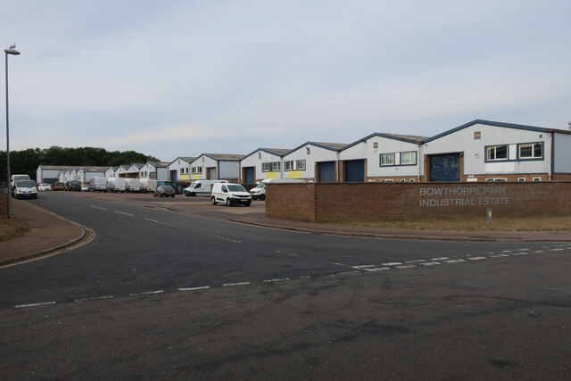
///downfield.tripling.engage. Near Bowthorpe, Norfolk

Related Wikis

Bawburgh

Bawburgh () is a village and civil parish in the South Norfolk district of Norfolk, England, lying in the valley of the River Yare about 5 miles (8.0 km...

Ormiston Victory Academy

Ormiston Victory Academy (formerly Costessey High School) is a secondary school and sixth form located in Costessey, Norfolk, England. The academy has...

Costessey Hall

Costessey Hall (pronounced and sometimes spelt Cossey Hall, also written as Cotesby Hall) was a manor house in Costessey, Norfolk, England, four miles...

Bowthorpe

Bowthorpe is a suburban village to the west of Norwich, in the county of Norfolk, England. == Geography == Bowthorpe is primarily a residential area, but...

Norwich CBS F.C.

Norwich CBS Football Club is a football club based in Norwich, Norfolk, England. They are currently members of the Eastern Counties League Division One...

Easton College

Easton College is a college of further and higher education in Norfolk, United Kingdom. It is located on a 200-hectare (490-acre) campus in the village...

Bowthorpe Marsh

Bowthorpe Marsh is a 5.9-hectare (15-acre) Local Nature Reserve in Norwich in Norfolk. It is owned and managed by Norwich City Council.This site adjacent...

Earlham Institute

Earlham Institute (EI, formerly The Genome Analysis Centre (TGAC)) is a life science research institute located at the Norwich Research Park (NRP), Norwich...

Nearby Amenities

Located within 500m of 52.642159,1.1935928
Power: tower
Ref: PS11
Lat/Long: 52.641364/1.1932345
Power: tower
Ref: PS12
Lat/Long: 52.6413981/1.1887202
Traffic Calming: table
Lat/Long: 52.6453856/1.1884536
Barrier: block
Material: earth
Lat/Long: 52.6446578/1.191873
Phone
Emergency: phone
Fee: no
Operator: National Highways
Operator Wikidata: Q5760006
Ref: 229B
Lat/Long: 52.6426617/1.1916339
Priority: equal
Lat/Long: 52.6452728/1.1985395
Parking
Fee: no
Parking: layby
Lat/Long: 52.6424754/1.1918396
Traffic Calming: hump
Lat/Long: 52.6452969/1.1884879
Traffic Calming: hump
Lat/Long: 52.6456347/1.1891729
Bench
Backrest: no
Colour: brown
Material: wood
Lat/Long: 52.6408555/1.1949663
Bench
Backrest: no
Material: wood
Lat/Long: 52.6395017/1.1995205
Colour: gray
Line Management: transition
Location Transition: yes
Material: metal
Power: tower
Ref: PS 10R
Structure: lattice
Lat/Long: 52.6412123/1.1946399
Power: pole
Lat/Long: 52.6401176/1.1880081
Power: pole
Lat/Long: 52.6411226/1.1888614
Power: pole
Lat/Long: 52.6422781/1.1898308
Power: pole
Lat/Long: 52.6434123/1.1907833
Power: pole
Lat/Long: 52.644078/1.1913199
Location Transition: yes
Power: pole
Lat/Long: 52.6445248/1.191739
Generator Method: photovoltaic
Generator Source: solar
Generator Type: solar_photovoltaic_panel
Location: roof
Power: generator
Lat/Long: 52.6450742/1.1968888
ANPR
Camera Mount: pole
Camera Type: fixed
Colour: yellow
Direction: 150
Man Made: surveillance
Operator: National Highways
Surveillance: outdoor
Surveillance Type: camera
Surveillance Zone: traffic
Lat/Long: 52.6451678/1.1899674
The data included in this document is from www.openstreetmap.org. The data is made available under ODbL.

Have you been to Beech Plantation?

Leave your review of Beech Plantation below (or comments, questions and feedback).