High Plantation

Wood, Forest in Norfolk Broadland

England

High Plantation

Wood Farm Vernacular farm buildings at Wood Farm
Wood Farm Credit: P Gaskell

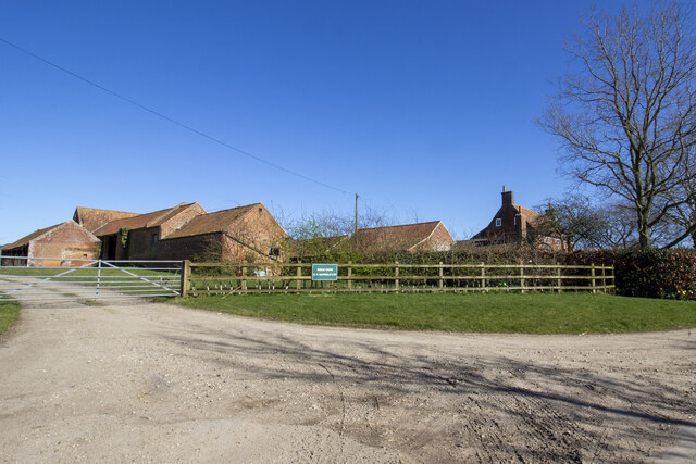
High Plantation is a picturesque woodland located in Norfolk, England. This enchanting forest covers an area of approximately 500 acres and is a haven for nature enthusiasts and outdoor lovers. With its lush greenery, diverse plant life, and tranquil atmosphere, High Plantation offers visitors a serene escape from urban life.

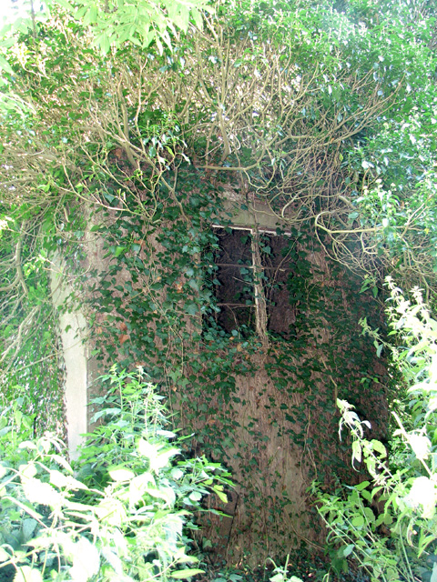
The woodland is primarily composed of a mix of broadleaf and coniferous trees, including oak, beech, pine, and birch, creating a rich and diverse habitat for various wildlife species. It is home to a wide range of birds, such as woodpeckers, owls, and thrushes, making it a popular spot for birdwatchers.

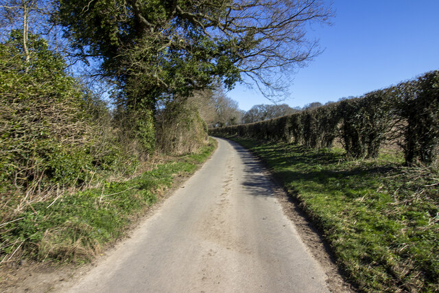
High Plantation is crisscrossed by a network of well-maintained trails and footpaths, allowing visitors to explore the forest at their own pace. These trails cater to both leisurely strolls and more challenging hikes, offering something for everyone. Along the way, visitors can admire the stunning scenery, including small streams, wildflowers, and ancient trees.

The woodland is also teeming with wildlife, including deer, foxes, rabbits, and squirrels. Nature enthusiasts can often spot these animals going about their daily routines, adding to the charm and beauty of High Plantation.

To ensure the preservation of this natural gem, High Plantation is managed by a dedicated team who work to maintain the ecosystem's delicate balance. The woodland is open to the public year-round, and visitors are encouraged to respect the environment and follow designated trails to minimize their impact on the habitat.

Overall, High Plantation in Norfolk is a true haven for nature lovers, offering a peaceful retreat where visitors can immerse themselves in the beauty of the woodland and appreciate the natural wonders that surround them.

If you have any feedback on the listing, please let us know in the comments section below.

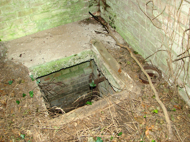
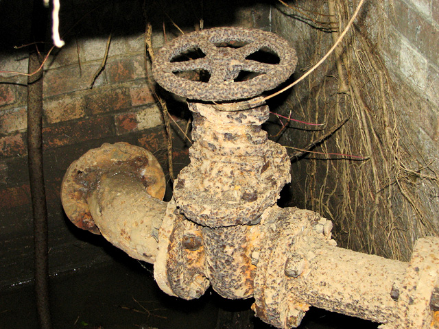
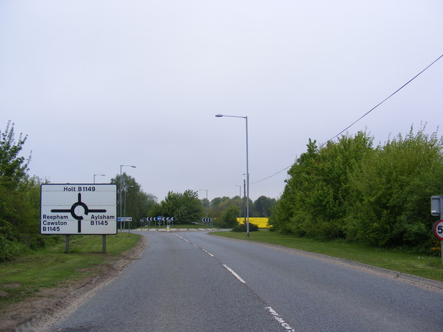
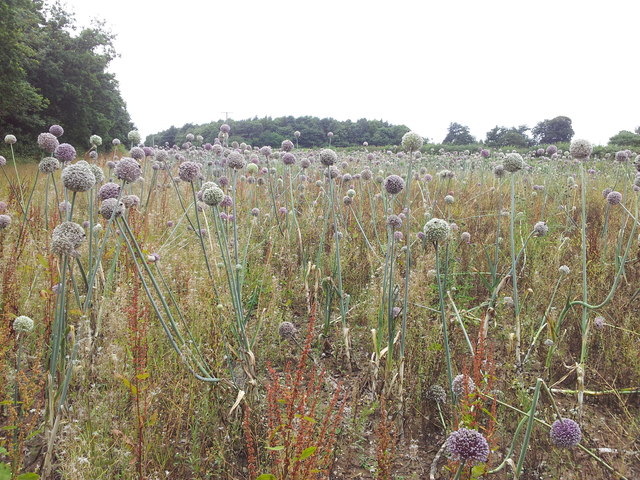
High Plantation Images

Images are sourced within 2km of 52.78473/1.2032741 or Grid Reference TG1625. Thanks to Geograph Open Source API. All images are credited.

Wood Farm Vernacular farm buildings at Wood Farm
Wood Farm
Vernacular farm buildings at Wood Farm
Aylsham Road Hedgerows and hedgerow trees on Aylsham Road
Aylsham Road
Hedgerows and hedgerow trees on Aylsham Road
Old Milepost by the B1149, Cawston parish Concrete post by the B1149, in parish of Cawston (Broadland District), about 100yds South of N.T. Memorial Stone, on verge backed by field, on West side of road. NCC concrete, erected by the County Council in the 19th/20th century. An earlier photograph can be found here <a title="https://www.geograph.org.uk/photo/6097917" href="https://www.geograph.org.uk/photo/6097917">Link</a>.

Inscription reads:-
: TO / HOLT / 11 / MILES : : N C C / MAIN ROAD : : CAWSTON : : TO / NORWICH / 10 / MILES :

Norfolk HER.
NHER Number: 56452 <span class="nowrap"><a title="https://www.heritagegateway.org.uk/Gateway/Results_Single.aspx?uid=MNF62861&resourceID=1002" rel="nofollow ugc noopener" href="https://www.heritagegateway.org.uk/Gateway/Results_Single.aspx?uid=MNF62861&resourceID=1002">Link</a><img style="margin-left:2px;" alt="External link" title="External link - shift click to open in new window" src="https://s1.geograph.org.uk/img/external.png" width="10" height="10"/></span>


Milestone Society National ID: NO_NH10
Old Milepost by the B1149, Cawston parish
Concrete post by the B1149, in parish of Cawston (Broadland District), about 100yds South of N.T. Memorial Stone, on verge backed by field, on West side of road. NCC concrete, erected by the County Council in the 19th/20th century. An earlier photograph can be found here Link. Inscription reads:- : TO / HOLT / 11 / MILES : : N C C / MAIN ROAD : : CAWSTON : : TO / NORWICH / 10 / MILES : Norfolk HER. NHER Number: 56452 LinkExternal link Milestone Society National ID: NO_NH10
Old Milestone by the B1149, Cawston parish Carved stone post by the B1149, in parish of Cawston (Broadland District), approx. 150yds South of railway bridge, in verge against hedge, on West side of road. Holt diamond, erected by an unknown authority in the 18th century. 

Inscription reads:-
: 10 / MILES / TO / HOLT : : CAWSTON : : 11 / MILES / TO / NORWICH :

Norfolk HER.
NHER Number: 56453 <span class="nowrap"><a title="https://www.heritagegateway.org.uk/Gateway/Results_Single.aspx?uid=MNF62863&resourceID=1002" rel="nofollow ugc noopener" href="https://www.heritagegateway.org.uk/Gateway/Results_Single.aspx?uid=MNF62863&resourceID=1002">Link</a><img style="margin-left:2px;" alt="External link" title="External link - shift click to open in new window" src="https://s1.geograph.org.uk/img/external.png" width="10" height="10"/></span>

Milestone Society National ID: NO_NH11
Old Milestone by the B1149, Cawston parish
Carved stone post by the B1149, in parish of Cawston (Broadland District), approx. 150yds South of railway bridge, in verge against hedge, on West side of road. Holt diamond, erected by an unknown authority in the 18th century. Inscription reads:- : 10 / MILES / TO / HOLT : : CAWSTON : : 11 / MILES / TO / NORWICH : Norfolk HER. NHER Number: 56453 LinkExternal link Milestone Society National ID: NO_NH11
Ivy-clad building on the edge of Oulton Belt See also > <a title="https://www.geograph.org.uk/photo/687213" href="https://www.geograph.org.uk/photo/687213">Link</a>. This was a pumping station serving the RAF Oulton campsites adjoining it in the west and south-west.
Ivy-clad building on the edge of Oulton Belt
See also > Link. This was a pumping station serving the RAF Oulton campsites adjoining it in the west and south-west.
Pumphouse interior Vandals have smashed the thick concrete cover, making the building dangerous to enter. There is no telling as to how deep the drop or the accumulation of black liquid at the bottom might be. For an exterior view see > <a title="https://www.geograph.org.uk/photo/687213" href="https://www.geograph.org.uk/photo/687213">Link</a>.
Pumphouse interior
Vandals have smashed the thick concrete cover, making the building dangerous to enter. There is no telling as to how deep the drop or the accumulation of black liquid at the bottom might be. For an exterior view see > Link.
Pumphouse interior Vandals have smashed the thick concrete cover and the adjoining manhole cover has been removed, making the building dangerous to enter. There is no telling as to how deep the drop or the accumulation of black liquid at the bottom might be. For an exterior view see > <a title="https://www.geograph.org.uk/photo/687213" href="https://www.geograph.org.uk/photo/687213">Link</a>.
Pumphouse interior
Vandals have smashed the thick concrete cover and the adjoining manhole cover has been removed, making the building dangerous to enter. There is no telling as to how deep the drop or the accumulation of black liquid at the bottom might be. For an exterior view see > Link.
Pumphouse interior Vandals have smashed the thick concrete cover, making the building dangerous to enter. There is no telling as to how deep the drop or the accumulation of black liquid at the bottom might be. This is one of the underground pipes. For an exterior view see > <a title="https://www.geograph.org.uk/photo/687213" href="https://www.geograph.org.uk/photo/687213">Link</a>.
Pumphouse interior
Vandals have smashed the thick concrete cover, making the building dangerous to enter. There is no telling as to how deep the drop or the accumulation of black liquid at the bottom might be. This is one of the underground pipes. For an exterior view see > Link.
B1149 Holt Road Approaching the junction with the B1145
B1149 Holt Road
Approaching the junction with the B1145
B1149 Holt Road & Bridge Bridge over Marriott's Way footpath
B1149 Holt Road & Bridge
Bridge over Marriott's Way footpath
B1149 Holt Road At the junction with the road to Oulton Street near Bluestone Lodge
B1149 Holt Road
At the junction with the road to Oulton Street near Bluestone Lodge
Woodrow's garage on the B1149
The Duel Stone The year was 1698 The day was 20th August. The event which was to be the last duel fought in Norfolk took place at this place on Cawston Heath. 
The contestants were:
 Sir Henry Hobart MP of Blickling Hall & Oliver Le Neve, a lawyer from Great Witchingham.
 The two had been engaged in a bitter dispute as a result of Sir Henry being accused of cowardice when fighting in support of William III at the Battle of the Boyne in Ireland in 1690.
 At the same time Sir Henry lost his seat in Parliament, and denounced Oliver Le Neve as the cause of his troubles.
 Further altercations followed, and Le Neve reluctantly accepted Sir Henry's challenger to a duel, which was not illegal then, provided that seconds and witnesses were in attendance.
 It appears there were none present on this occasion.
 It was said that Le Neve who was described as a great sportsman and a great drinker, fought left-handed and was soon wounded in the arm by Sir Henry who had a reputation as a swordsman.

However, Le Neve, who lacked the skill of Sir Henry as a swordsman then struck back and either by luck or in desperation he thrust his sword into Sir Henry's belly.
 He fell, fatally wounded; servants took him home to Blickling Hall, where died the next day.

 As there appears to have been no seconds or witnesses, the duel was deemed to be illegal. Le Neve fled to Holland but returned to Norfolk 2 years later where he had many friends & acquaintances, soon thereafter he was " triumphantly acquitted of any blame in Sir Henry Hobart's death". He died in 1711.
 His monument may be seen in Great Witchingham Church.

It is said locally that details of the duel came from a young lady named Nelly, who was said to be hiding & watched the duel from the blackberry bushes on the heath.
 Captain's Cottage, which stands near Cawston Park has been associated with Captain Le Neve, & a belt of trees nearby was known as "Nelly's Folly".
 Tales are still told of this unfortunate event & is commemorated by the Duel Stone which stands in a small plot that must be the smallest National Trust property in the UK, it was erected in 1770 by W.W. Bulwer.
Thank you to Chamberlain of Geocaching.com for the above information.
The Duel Stone
The year was 1698 The day was 20th August. The event which was to be the last duel fought in Norfolk took place at this place on Cawston Heath. The contestants were: Sir Henry Hobart MP of Blickling Hall & Oliver Le Neve, a lawyer from Great Witchingham. The two had been engaged in a bitter dispute as a result of Sir Henry being accused of cowardice when fighting in support of William III at the Battle of the Boyne in Ireland in 1690. At the same time Sir Henry lost his seat in Parliament, and denounced Oliver Le Neve as the cause of his troubles. Further altercations followed, and Le Neve reluctantly accepted Sir Henry's challenger to a duel, which was not illegal then, provided that seconds and witnesses were in attendance. It appears there were none present on this occasion. It was said that Le Neve who was described as a great sportsman and a great drinker, fought left-handed and was soon wounded in the arm by Sir Henry who had a reputation as a swordsman. However, Le Neve, who lacked the skill of Sir Henry as a swordsman then struck back and either by luck or in desperation he thrust his sword into Sir Henry's belly. He fell, fatally wounded; servants took him home to Blickling Hall, where died the next day. As there appears to have been no seconds or witnesses, the duel was deemed to be illegal. Le Neve fled to Holland but returned to Norfolk 2 years later where he had many friends & acquaintances, soon thereafter he was " triumphantly acquitted of any blame in Sir Henry Hobart's death". He died in 1711. His monument may be seen in Great Witchingham Church. It is said locally that details of the duel came from a young lady named Nelly, who was said to be hiding & watched the duel from the blackberry bushes on the heath. Captain's Cottage, which stands near Cawston Park has been associated with Captain Le Neve, & a belt of trees nearby was known as "Nelly's Folly". Tales are still told of this unfortunate event & is commemorated by the Duel Stone which stands in a small plot that must be the smallest National Trust property in the UK, it was erected in 1770 by W.W. Bulwer. Thank you to Chamberlain of Geocaching.com for the above information.
The B1149 Holt Road
The B1149 Holt Road
Marriott's Way at Woodgate's Crossing
A stunning field of Purple Allium flowers
Bees actively gathering food from Purple Allium plants
Path through Hundred Acre Plantation
Show me another place!

High Plantation is located at Grid Ref: TG1625 (Lat: 52.78473, Lng: 1.2032741)

Administrative County: Norfolk

District: Broadland

Police Authority: Norfolk

What 3 Words

///dries.sweeper.ruin. Near Cawston, Norfolk

Related Wikis

The Mermaid (river)

The Mermaid (river) is a minor tributary of the River Bure in Norfolk, England, and is approximately 6 kilometres (3.7 mi) in length. == Course == The...

Cawston and Marsham Heaths

Cawston and Marsham Heaths is a 116.7-hectare (288-acre) biological Site of Special Scientific Interest north of Norwich in Norfolk.These heaths are dominated...

RAF Oulton

Royal Air Force Oulton or more simply RAF Oulton is a former Royal Air Force satellite station located 3 miles (4.8 km) west of Aylsham, Norfolk and 12...

Bluestone railway station

Bluestone railway station was a station in Norfolk, England. It was on the Midland and Great Northern Joint Railway between Corpusty and Aylsham North...

Cawston Road Mill, Aylsham

Cawston Road Mill is a tower mill at Aylsham, Norfolk, England which has been truncated and converted for use as a holiday home. == History == Cawston...

Cawston railway station

Cawston was a railway station in Cawston, Norfolk. It was part of the Great Eastern Railway network for a large portion of its existence. It was on the...

Cawston, Norfolk

Cawston is a village and civil parish in the Broadland district of Norfolk, England. The village is approximately 11 miles (18 km) north of Norwich on...

Blickling

Blickling is a village and civil parish in the Broadland district of Norfolk, England, about 1.5 miles (2.4 km) north-west of Aylsham. In the 2011 census...

Have you been to High Plantation?

Leave your review of High Plantation below (or comments, questions and feedback).