Franche

Settlement in Worcestershire Wyre Forest

England

Franche

Distorted silver birch Growing alongside a path through Pigstyehill Coppice, in Habberley Valley.
Distorted silver birch Credit: Mat Fascione

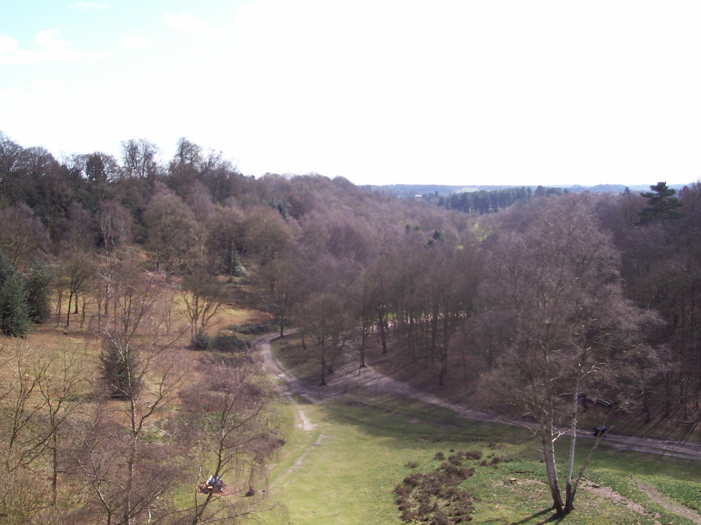
Franche is a small village located in the county of Worcestershire, England. Situated approximately 3 miles south of the town of Kidderminster, it falls within the Wyre Forest District. The village is positioned near the eastern edge of the Wyre Forest, a large woodland area known for its natural beauty and recreational opportunities.

With a population of around 5,000 people, Franche retains its rural charm and offers a peaceful setting for its residents. The village is characterized by a mix of traditional cottages and newer housing developments, catering to a range of housing needs. Amenities in Franche include a primary school, a post office, a convenience store, and a local pub, serving as a social hub for the community.

Franche benefits from its proximity to the larger town of Kidderminster, which provides additional services and employment opportunities. The village is well-connected by road, with the A442 running through it, offering easy access to nearby towns and cities. Public transportation is also available, with regular bus services connecting Franche to Kidderminster and other surrounding areas.

The natural surroundings of Franche provide ample opportunities for outdoor activities, with the Wyre Forest offering numerous walking and cycling routes. The nearby River Severn is also popular for boating and fishing. Additionally, the village is within reach of the West Midlands Safari Park, a popular tourist attraction that draws visitors from far and wide.

Overall, Franche offers a picturesque and peaceful village setting, with access to both rural and urban amenities, making it an attractive place to live for those seeking a balance between tranquility and convenience.

If you have any feedback on the listing, please let us know in the comments section below.
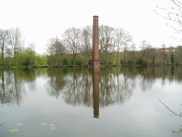
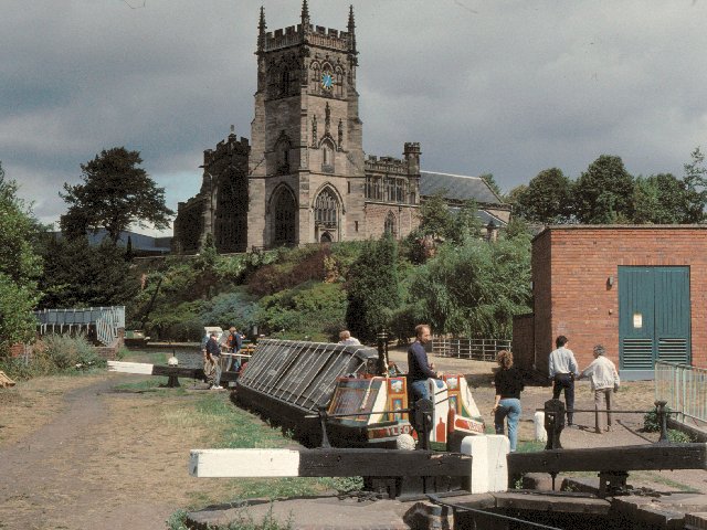
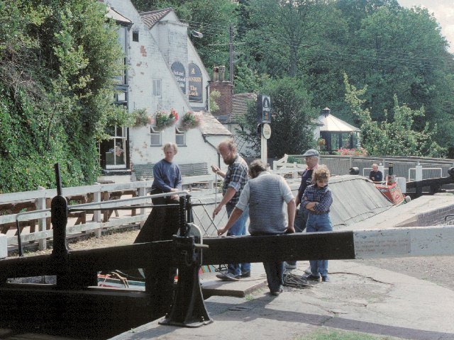
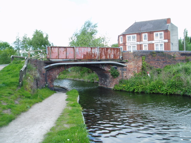
Franche Images

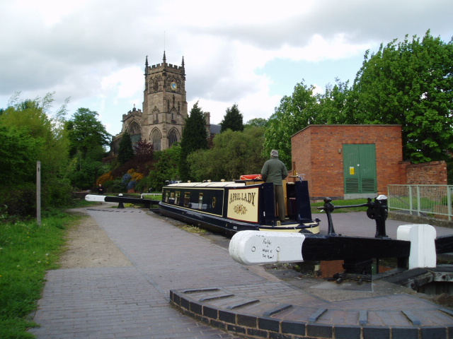
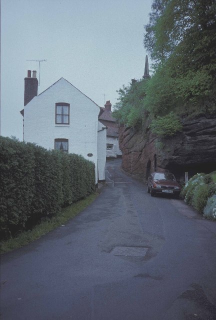
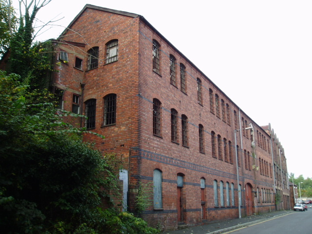
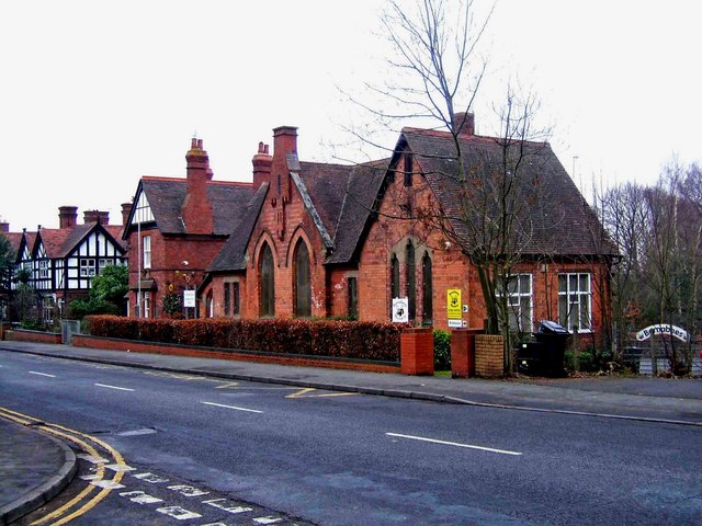
Images are sourced within 2km of 52.400309/-2.267763 or Grid Reference SO8178. Thanks to Geograph Open Source API. All images are credited.

Distorted silver birch Growing alongside a path through Pigstyehill Coppice, in Habberley Valley.
Distorted silver birch
Growing alongside a path through Pigstyehill Coppice, in Habberley Valley.
Jacob's Ladder - middle part Recently rebuilt with the assistance of the local Ramblers' Association, Jacob's Ladder footpath climbs steeply out of the Habberley Valley towards Trimpley.
Jacob's Ladder - middle part
Recently rebuilt with the assistance of the local Ramblers' Association, Jacob's Ladder footpath climbs steeply out of the Habberley Valley towards Trimpley.
Top of Jacob's Ladder A steepening footpath down into the Habberley Valley.
Top of Jacob's Ladder
A steepening footpath down into the Habberley Valley.
Pigstyehill Coppice in the Habberley Valley Habberley Valley is a Local Nature Reserve consisting of approximately 27.5 hectares (68 acres) of lowland heathland and woodland with large sandstone outcrops.
Pigstyehill Coppice in the Habberley Valley
Habberley Valley is a Local Nature Reserve consisting of approximately 27.5 hectares (68 acres) of lowland heathland and woodland with large sandstone outcrops.
Path through Pigstyehill Coppice in Habberley Valley Habberley Valley is a Local Nature Reserve consisting of approximately 27.5 hectares (68 acres) of lowland heathland and woodland with large sandstone outcrops.
Path through Pigstyehill Coppice in Habberley Valley
Habberley Valley is a Local Nature Reserve consisting of approximately 27.5 hectares (68 acres) of lowland heathland and woodland with large sandstone outcrops.
Trees in Habberley Valley Habberley Valley is a Local Nature Reserve consisting of approximately 27.5 hectares (68 acres) of lowland heathland and woodland with large sandstone outcrops.
Trees in Habberley Valley
Habberley Valley is a Local Nature Reserve consisting of approximately 27.5 hectares (68 acres) of lowland heathland and woodland with large sandstone outcrops.
Ancient tree in the Habberley Valley Local Nature Reserve Habberley Valley is a Local Nature Reserve consisting of approximately 27.5 hectares (68 acres) of lowland heathland and woodland with large sandstone outcrops.
Ancient tree in the Habberley Valley Local Nature Reserve
Habberley Valley is a Local Nature Reserve consisting of approximately 27.5 hectares (68 acres) of lowland heathland and woodland with large sandstone outcrops.
Roots of an ancient tree in the Habberley Valley Local Nature Reserve Habberley Valley is a Local Nature Reserve consisting of approximately 27.5 hectares (68 acres) of lowland heathland and woodland with large sandstone outcrops.
Roots of an ancient tree in the Habberley Valley Local Nature Reserve
Habberley Valley is a Local Nature Reserve consisting of approximately 27.5 hectares (68 acres) of lowland heathland and woodland with large sandstone outcrops.
Snow in the Habberley Valley Local Nature Reserve Habberley Valley is a Local Nature Reserve consisting of approximately 27.5 hectares (68 acres) of lowland heathland and woodland with large sandstone outcrops.
Snow in the Habberley Valley Local Nature Reserve
Habberley Valley is a Local Nature Reserve consisting of approximately 27.5 hectares (68 acres) of lowland heathland and woodland with large sandstone outcrops.
Stack Pool, Kidderminster The chimney built at the edge of the pool can be identified on the 1:25,000 map as the small dot on the north bank of the main pool. Picture taken from SO 83389 77754.
Stack Pool, Kidderminster
The chimney built at the edge of the pool can be identified on the 1:25,000 map as the small dot on the north bank of the main pool. Picture taken from SO 83389 77754.
Kidderminster Kidderminster Lock on the Staffordshire and Worcestershire Canal.
Kidderminster
Kidderminster Lock on the Staffordshire and Worcestershire Canal.
Wolverley Lock A picturesque spot by the lock on the Staffordshire and Worcestershire Canal
Wolverley Lock
A picturesque spot by the lock on the Staffordshire and Worcestershire Canal
Limekiln Bridge, Staffs & Worcs. Canal, Kidderminster Any evidence of a Limekiln has long since vanished, and clearly, the bridge has enjoyed better days. Some of the upper brickwork on both sides has been replaced by the rather unattractive metal sheeting.
Limekiln Bridge, Staffs & Worcs. Canal, Kidderminster
Any evidence of a Limekiln has long since vanished, and clearly, the bridge has enjoyed better days. Some of the upper brickwork on both sides has been replaced by the rather unattractive metal sheeting.
Kidderminster Lock 2005 It is interesting to compare this shot with David's, taken some 15 years earlier. A great deal of time and money has been recently been spent improving the overall condition of the canal and towpath in this area. The electricity sub-station looks uncannily similar to how it did all those years ago.
Kidderminster Lock 2005
It is interesting to compare this shot with David's, taken some 15 years earlier. A great deal of time and money has been recently been spent improving the overall condition of the canal and towpath in this area. The electricity sub-station looks uncannily similar to how it did all those years ago.
Brookside Cottages in Wolverley
Dilapidated warehouse Situated just outside the newly developed part of Kidderminster, this dilapidated warehouse patiently awaits its fate. Refurbishment perhaps, a renovated exterior housing state of the art offices, or the final death knell, demolition, to make way for housing ? Watch this space !
Dilapidated warehouse
Situated just outside the newly developed part of Kidderminster, this dilapidated warehouse patiently awaits its fate. Refurbishment perhaps, a renovated exterior housing state of the art offices, or the final death knell, demolition, to make way for housing ? Watch this space !
Show me another place!

Franche is located at Grid Ref: SO8178 (Lat: 52.400309, Lng: -2.267763)

Administrative County: Worcestershire

District: Wyre Forest

Police Authority: West Mercia

What 3 Words

///exit.views.proven. Near Kidderminster, Worcestershire

Nearby Locations

Franche

Related Wikis

Franche, Worcestershire

Franche is a village in Worcestershire, England, just outside Kidderminster. It is served by two main bus services. These are service 297 operated by...

Wyre Forest (UK Parliament constituency)

Wyre Forest is a county constituency represented in the House of Commons of the Parliament of the United Kingdom. It elects one Member of Parliament...

Baxter College

Baxter College is a mixed secondary school with academy status located in Kidderminster, Worcestershire, England. Prior to September 2002 the school was...

Habberley, Worcestershire

Habberley was one of the hamlets of the ancient parish of Kidderminster in the county of Worcestershire, England. It is now divided so that part of it...

Nearby Amenities

Located within 500m of 52.400309,-2.267763
Bus Stop
Mouse Lane
Bench: no
Bin: no
Bus: yes
Mapillary: 786326895609645
Naptan AtcoCode: 2000G001590
Naptan Bearing: N
Naptan CommonName: Mouse Lane
Naptan Crossing: Mouse Lane
Naptan Indicator: Adj
Naptan NaptanCode: wocdgmtp
Naptan PlusbusZoneRef: KDRMNST
Naptan Street: Franche Road
Naptan Verified: yes
Public Transport: platform
Shelter: no
Source: naptan_import
Survey Date: 2020-09-24
Lat/Long: 52.3976775/-2.2670811
Bus Stop
Mouse Lane
Bench: yes
Bin: yes
Bus: yes
Mapillary: 807716320144349
Naptan AtcoCode: 2000G001591
Naptan Bearing: N
Naptan CommonName: Mouse Lane
Naptan Crossing: Mouse Lane
Naptan Indicator: opp
Naptan NaptanCode: wocdgmtw
Naptan PlusbusZoneRef: KDRMNST
Naptan Street: Franche Road
Naptan Verified: yes
Public Transport: platform
Shelter: yes
Source: naptan_import
Survey Date: 2020-09-24
Lat/Long: 52.3976177/-2.2667669
Bus Stop
Snowdon Close
Bus: yes
Naptan AtcoCode: 2000G001594
Naptan Bearing: NE
Naptan CommonName: Snowdon Close
Naptan Crossing: Snowdon Close
Naptan Indicator: adj
Naptan NaptanCode: wocdgmwg
Naptan PlusbusZoneRef: KDRMNST
Naptan Street: Wolverley Road
Public Transport: platform
Route Ref: 5A
Shelter: yes
Source: naptan_import
Lat/Long: 52.4025604/-2.2630573
Bus Stop
Franche- Three Crowns
Bench: no
Bin: no
Bus: yes
Naptan AtcoCode: 2000G100300
Naptan Bearing: N
Naptan CommonName: Franche- Three Crowns
Naptan Indicator: Adj
Naptan Landmark: Wolverley Road
Naptan NaptanCode: wocgjwgt
Naptan PlusbusZoneRef: KDRMNST
Naptan Street: Franche Road
Naptan Verified: no
Public Transport: platform
Shelter: no
Source: naptan_import
Lat/Long: 52.3995306/-2.2692083
Bus Stop
Supermarket
Bus: yes
Naptan AtcoCode: 2000G101200
Naptan Bearing: N
Naptan CommonName: Supermarket
Naptan Crossing: Chestnut Grove
Naptan Indicator: Adj
Naptan Landmark: Supermarket
Naptan NaptanCode: wocgmjmg
Naptan PlusbusZoneRef: KDRMNST
Naptan Street: Wilton Avenue
Naptan Verified: yes
Public Transport: platform
Shelter: no
Source: naptan_import
Lat/Long: 52.3977278/-2.2704335
Bus Stop
Chestnut Grove
Bus: yes
Naptan AtcoCode: 2000G101296
Naptan Bearing: NE
Naptan CommonName: Chestnut Grove
Naptan Crossing: Chestnut Grove
Naptan Indicator: Eastbound
Naptan NaptanCode: wocgmjpa
Naptan PlusbusZoneRef: KDRMNST
Naptan Street: Wilton Avenue
Naptan Verified: no
Public Transport: platform
Source: naptan_import
Lat/Long: 52.3966993/-2.2713468
Bus Stop
Chestnut Grove
Bus: yes
Naptan AtcoCode: 2000G101297
Naptan Bearing: N
Naptan CommonName: Chestnut Grove
Naptan Crossing: Chestnut Grove
Naptan Indicator: Westbound
Naptan NaptanCode: wocgmjpd
Naptan PlusbusZoneRef: KDRMNST
Naptan Street: Wilton Avenue
Naptan Verified: yes
Public Transport: platform
Shelter: no
Source: naptan_import
Lat/Long: 52.3967208/-2.2711441
Bus Stop
Supermarket Car Park
Bus: yes
Naptan AtcoCode: 2000G101298
Naptan Bearing: SW
Naptan CommonName: Supermarket Car Park
Naptan Indicator: Adj
Naptan Landmark: Supermarket Car Park
Naptan NaptanCode: wocgmjpg
Naptan PlusbusZoneRef: KDRMNST
Naptan Street: Wilton Avenue
Naptan Verified: no
Public Transport: platform
Source: naptan_import
Lat/Long: 52.3982143/-2.2693131
Bus Stop
Supermarket
Bus: yes
Naptan AtcoCode: 2000G101299
Naptan Bearing: NE
Naptan CommonName: Supermarket
Naptan Crossing: Chestnut Grove
Naptan Indicator: opp
Naptan Landmark: Supermarket
Naptan NaptanCode: wocgmjpj
Naptan PlusbusZoneRef: KDRMNST
Naptan Street: Wilton Avenue
Naptan Verified: no
Public Transport: platform
Source: naptan_import
Lat/Long: 52.39823/-2.270298
Bus Stop
Franche Road (K'minster)- Marlpool Stores
Bus: yes
Naptan AtcoCode: 2000G198501
Naptan Bearing: N
Naptan CommonName: Franche Road (K'minster)- Marlpool Stores
Naptan Indicator: Adj
Naptan Landmark: Marlpool Stores
Naptan NaptanCode: wocdjgtg
Naptan PlusbusZoneRef: KDRMNST
Naptan Street: Marlpool Lane
Naptan Verified: no
Public Transport: platform
Source: naptan_import
Lat/Long: 52.4003271/-2.2653281
Bus Stop
Kidderminster- Bridgenorth Road- Franche
Bus: yes
Naptan AtcoCode: 2000G502544
Naptan Bearing: NW
Naptan CommonName: Kidderminster- Bridgenorth Road- Franche
Naptan Indicator: Adj
Naptan Landmark: Habberley Lane
Naptan NaptanCode: wocdmawd
Naptan PlusbusZoneRef: KDRMNST
Naptan Street: Three Crowns- Franche
Naptan Verified: no
Public Transport: platform
Source: naptan_import
Lat/Long: 52.3997328/-2.2697192
Bus Stop
Lowe Lane
Bus: yes
Naptan AtcoCode: 2000G502554
Naptan Bearing: SW
Naptan CommonName: Lowe Lane
Naptan Crossing: Lowe Lane
Naptan Indicator: Opp
Naptan NaptanCode: wocgpmjp
Naptan Street: Wolverley Road
Public Transport: platform
Shelter: no
Source: naptan_import
Lat/Long: 52.4018978/-2.2652658
Bus Stop
Marlpool Lane- (K'minster) Marlpool Stores
Bus: yes
Naptan AtcoCode: 2000G502555
Naptan Bearing: N
Naptan CommonName: Marlpool Lane- (K'minster) Marlpool Stores
Naptan Indicator: Opp
Naptan Landmark: Marlpool Stores
Naptan NaptanCode: wocdmawg
Naptan PlusbusZoneRef: KDRMNST
Naptan Street: Marlpool Lane
Naptan Verified: no
Public Transport: platform
Source: naptan_import
Lat/Long: 52.4003008/-2.2650046
Bus Stop
kidderminster- Franche- Marlpool Lane
Bus: yes
Naptan AtcoCode: 2000G502556
Naptan Bearing: N
Naptan CommonName: kidderminster- Franche- Marlpool Lane
Naptan Indicator: Adj
Naptan Landmark: Marlpool Place
Naptan NaptanCode: wocdmawj
Naptan PlusbusZoneRef: KDRMNST
Naptan Street: Marpool Place
Public Transport: platform
Shelter: no
Source: naptan_import
Lat/Long: 52.3993299/-2.2638572
Bus Stop
Kidderminster- Marlpool Road
Bus: yes
Naptan AtcoCode: 2000G502557
Naptan Bearing: NW
Naptan CommonName: Kidderminster- Marlpool Road
Naptan Indicator: Adj
Naptan Landmark: Playing Fields
Naptan NaptanCode: wocdmawm
Naptan PlusbusZoneRef: KDRMNST
Naptan Street: Wolverley Road
Naptan Verified: no
Public Transport: platform
Source: naptan_import
Lat/Long: 52.4013679/-2.266231
Bus Stop
Cornwall Avenue
Bus: yes
Naptan AtcoCode: 2000G502558
Naptan Bearing: NW
Naptan CommonName: Cornwall Avenue
Naptan Crossing: Cornwall Avenue
Naptan Indicator: opp
Naptan NaptanCode: wocdmawp
Naptan PlusbusZoneRef: KDRMNST
Naptan Street: Beeches Road
Public Transport: platform
Route Ref: 5
Shelter: no
Source: naptan_import
Lat/Long: 52.4014969/-2.2633024
Bus Stop
Cornwall Avenue
Bus: yes
Naptan AtcoCode: 2000G502559
Naptan Bearing: SE
Naptan CommonName: Cornwall Avenue
Naptan Crossing: Cornwall Avenue
Naptan Indicator: adj
Naptan NaptanCode: wocdmawt
Naptan PlusbusZoneRef: KDRMNST
Naptan Street: Beeches Road
Public Transport: platform
Route Ref: 5A
Source: naptan_import
Lat/Long: 52.4013226/-2.2626332
Bus Stop
Beeches Road
Bus: yes
Naptan AtcoCode: 2000G502560
Naptan Bearing: N
Naptan CommonName: Beeches Road
Naptan Indicator: Northbound
Naptan NaptanCode: wocdmdad
Naptan PlusbusZoneRef: KDRMNST
Naptan Street: Beeches Road
Public Transport: platform
Route Ref: 5A
Shelter: no
Source: naptan_import
Lat/Long: 52.3996388/-2.2615738
Bus Stop
Habberley Lane
Bus: yes
Naptan AtcoCode: 2000G581508
Naptan Bearing: NE
Naptan CommonName: Habberley Lane
Naptan Crossing: Ferndale Crescent
Naptan Indicator: adj
Naptan NaptanCode: wocdpaja
Naptan PlusbusZoneRef: KDRMNST
Naptan Street: Habberley Lane
Naptan Verified: no
Public Transport: platform
Source: naptan_import
Lat/Long: 52.3986224/-2.2716987
Snowdon Close
Naptan AtcoCode: 2000G701594
Naptan Bearing: SW
Naptan BusStopType: CUS
Naptan CommonName: Snowdon Close
Naptan Crossing: Snowdon Close
Naptan Indicator: opp
Naptan NaptanCode: wocdwapm
Naptan PlusbusZoneRef: KDRMNST
Naptan Street: Wolverley Road
Naptan Verified: no
Source: naptan_import
Lat/Long: 52.4025356/-2.2626956
Traffic Calming: yes
Lat/Long: 52.3998907/-2.2645337
Crossing
Crossing: traffic_signals
Crossing Ref: pelican
Lat/Long: 52.3979584/-2.272445
Post Box
Postal Code: DY11
Ref: DY11 233
Source: GPS Survey
Lat/Long: 52.3969644/-2.2712691
Post Box
Brand: Royal Mail
Brand Wikidata: Q638098
Mapillary: 6162577817091817
Operator: Royal Mail
Operator Wikidata: Q638098
Post Box Type: pillar
Postal Code: DY11
Ref: DY11 3
Source: GPS Survey
Survey Date: 2022-09-08
Lat/Long: 52.3973083/-2.2664291
Crossing
Crossing: traffic_signals
Crossing Ref: pelican
Lat/Long: 52.3979567/-2.2672738
Grit Bin
Source: observation
Lat/Long: 52.3992376/-2.2730019
Grit Bin
Source: observation
Lat/Long: 52.3999666/-2.2719832
Grit Bin
Source: observation
Lat/Long: 52.401218/-2.2713868
Community Centre
St. Barnabas Community Hall
Source: survey
Lat/Long: 52.4011256/-2.2679037
Social Club
Franche Village Club
Source: survey
Lat/Long: 52.4014743/-2.2670824
Addr Housenumber: 87
Lat/Long: 52.4001232/-2.2634865
Addr Housenumber: 36
Lat/Long: 52.3984409/-2.261661
Addr Housenumber: 105
Lat/Long: 52.4004724/-2.2633502
Addr Housenumber: 97
Lat/Long: 52.4003226/-2.2636377
Addr Housenumber: 74
Lat/Long: 52.4002548/-2.2631753
Addr Housenumber: 38
Lat/Long: 52.3989977/-2.2619392
Addr Housenumber: 2
Lat/Long: 52.398863/-2.2617843
Addr Housenumber: 69
Lat/Long: 52.4004508/-2.2622838
Addr Housenumber: 36
Lat/Long: 52.399528/-2.261168
Addr Housenumber: 32
Lat/Long: 52.3993367/-2.2606633
Addr Housenumber: 20
Lat/Long: 52.4004846/-2.2638657
Addr Housenumber: 14
Lat/Long: 52.4007528/-2.2641417
Addr Housenumber: 17
Lat/Long: 52.4008225/-2.2637041
Addr Housenumber: 12
Lat/Long: 52.4011012/-2.2637875
Addr Housenumber: 1
Lat/Long: 52.4010755/-2.2627428
Addr Housenumber: 2
Lat/Long: 52.4012533/-2.2630791
Addr Housenumber: 23
Lat/Long: 52.4011399/-2.26455
Addr Housenumber: 7
Lat/Long: 52.401609/-2.2648896
Addr Housenumber: 28
Lat/Long: 52.4016483/-2.265576
Addr Housenumber: 5
Lat/Long: 52.401691/-2.2645633
Turning Circle
Lat/Long: 52.4008725/-2.2644798
Addr Housenumber: 27
Lat/Long: 52.4009044/-2.2644426
Addr Housenumber: 25
Lat/Long: 52.4010027/-2.2645513
Addr Housenumber: 2
Lat/Long: 52.4019812/-2.264302
Addr Housenumber: 1
Lat/Long: 52.4017702/-2.2642676
Addr Housenumber: 133
Lat/Long: 52.4018075/-2.2640306
Addr Housenumber: 122
Lat/Long: 52.402144/-2.2638862
Addr Housenumber: 135
Lat/Long: 52.4020785/-2.2641331
Addr Housenumber: 114
Lat/Long: 52.4018184/-2.2636395
Addr Housenumber: 2
Lat/Long: 52.4001176/-2.2616559
Addr Housenumber: 1
Addr Street: Middleton Road
Lat/Long: 52.400427/-2.261701
Addr Housenumber: 3
Addr Street: Middleton Road
Lat/Long: 52.400586/-2.2612899
Addr Housenumber: 5
Lat/Long: 52.4006906/-2.2613668
Addr Housenumber: 17
Lat/Long: 52.401026/-2.2616466
Addr Housenumber: 19
Lat/Long: 52.4010198/-2.2612073
Addr Housenumber: 29
Lat/Long: 52.4012285/-2.2605878
Addr Housenumber: 30
Addr Street: Middleton Road
Lat/Long: 52.400712/-2.2608728
Addr Housenumber: 32
Addr Street: Middleton Road
Lat/Long: 52.4008175/-2.2609748
Addr Housenumber: 38
Lat/Long: 52.3995781/-2.2611016
Addr Housenumber: 56
Lat/Long: 52.39973/-2.2614377
Addr Housenumber: 54
Lat/Long: 52.3998107/-2.2613968
Addr Housenumber: 58
Lat/Long: 52.4001681/-2.2617606
Post Box
Ref: DY11 244
Lat/Long: 52.4023087/-2.2640535
Franche
Place: village
Source: NPTG
Wikidata: Q5479736
Lat/Long: 52.4000801/-2.2679017
Traffic Calming: yes
Lat/Long: 52.3995901/-2.2640828
Addr Housenumber: 44
Lat/Long: 52.4020884/-2.2662311
Post Office
Franche Post Office
Addr City: Kidderminster
Addr Housenumber: 87
Addr Postcode: DY11 5BE
Addr Street: Franche Road
Opening Hours: Mo-Sa 07:00-22:00; Su 10:00-16:00
Ref Pol Id: 9741
Source: pol_branch_list_2018-02
Lat/Long: 52.3982468/-2.2688947
Co-op Travel
Operator: Midcounties Co-operative
Operator Wikidata: Q6841138
Shop: travel_agency
Website: https://www.cooptravel.co.uk/contact/branches-experts/franche/
Lat/Long: 52.3984839/-2.2685163
Generator Method: photovoltaic
Generator Output Electricity: yes
Generator Source: solar
Generator Type: solar_photovoltaic_panel
Location: roof
Power: generator
Lat/Long: 52.4032445/-2.2672791
Generator Method: photovoltaic
Generator Output Electricity: yes
Generator Source: solar
Generator Type: solar_photovoltaic_panel
Location: roof
Power: generator
Lat/Long: 52.4008624/-2.2683726
Generator Method: photovoltaic
Generator Output Electricity: yes
Generator Source: solar
Generator Type: solar_photovoltaic_panel
Location: roof
Power: generator
Lat/Long: 52.4026368/-2.2693129
Generator Method: photovoltaic
Generator Output Electricity: yes
Generator Source: solar
Generator Type: solar_photovoltaic_panel
Location: roof
Power: generator
Lat/Long: 52.399936/-2.2715041
Generator Method: photovoltaic
Generator Output Electricity: yes
Generator Source: solar
Generator Type: solar_photovoltaic_panel
Location: roof
Power: generator
Lat/Long: 52.4027394/-2.269422
Generator Method: photovoltaic
Generator Output Electricity: yes
Generator Source: solar
Generator Type: solar_photovoltaic_panel
Location: roof
Power: generator
Lat/Long: 52.3994132/-2.2736671
Generator Method: photovoltaic
Generator Output Electricity: yes
Generator Source: solar
Generator Type: solar_photovoltaic_panel
Location: roof
Power: generator
Lat/Long: 52.3994172/-2.2735621
Generator Method: photovoltaic
Generator Output Electricity: yes
Generator Source: solar
Generator Type: solar_photovoltaic_panel
Location: roof
Power: generator
Lat/Long: 52.3995487/-2.2729571
Generator Method: photovoltaic
Generator Output Electricity: yes
Generator Source: solar
Generator Type: solar_photovoltaic_panel
Location: roof
Power: generator
Lat/Long: 52.3993786/-2.2735982
Generator Method: photovoltaic
Generator Output Electricity: yes
Generator Source: solar
Generator Type: solar_photovoltaic_panel
Location: roof
Power: generator
Lat/Long: 52.3994805/-2.2726142
Generator Method: photovoltaic
Generator Output Electricity: yes
Generator Source: solar
Generator Type: solar_photovoltaic_panel
Location: roof
Power: generator
Lat/Long: 52.399252/-2.2732742
Generator Method: photovoltaic
Generator Output Electricity: yes
Generator Source: solar
Generator Type: solar_photovoltaic_panel
Location: roof
Power: generator
Lat/Long: 52.4001486/-2.2721367
Generator Method: photovoltaic
Generator Output Electricity: yes
Generator Source: solar
Generator Type: solar_photovoltaic_panel
Location: roof
Power: generator
Lat/Long: 52.4007151/-2.2636798
Generator Method: photovoltaic
Generator Output Electricity: yes
Generator Source: solar
Generator Type: solar_photovoltaic_panel
Location: roof
Power: generator
Lat/Long: 52.4019909/-2.2682218
Generator Method: photovoltaic
Generator Output Electricity: yes
Generator Source: solar
Generator Type: solar_photovoltaic_panel
Location: roof
Power: generator
Lat/Long: 52.3994772/-2.2741027
Generator Method: photovoltaic
Generator Output Electricity: yes
Generator Source: solar
Generator Type: solar_photovoltaic_panel
Location: roof
Power: generator
Lat/Long: 52.3992585/-2.2733841
Generator Method: photovoltaic
Generator Output Electricity: yes
Generator Source: solar
Generator Type: solar_photovoltaic_panel
Location: roof
Power: generator
Lat/Long: 52.3995787/-2.272879
Generator Method: photovoltaic
Generator Output Electricity: yes
Generator Source: solar
Generator Type: solar_photovoltaic_panel
Location: roof
Power: generator
Lat/Long: 52.3997841/-2.2738165
Generator Method: photovoltaic
Generator Output Electricity: yes
Generator Source: solar
Generator Type: solar_photovoltaic_panel
Location: roof
Power: generator
Lat/Long: 52.3998151/-2.2737336
Generator Method: photovoltaic
Generator Output Electricity: yes
Generator Source: solar
Generator Type: solar_photovoltaic_panel
Location: roof
Power: generator
Lat/Long: 52.397249/-2.2692373
Generator Method: photovoltaic
Generator Output Electricity: yes
Generator Source: solar
Generator Type: solar_photovoltaic_panel
Location: roof
Power: generator
Lat/Long: 52.3969004/-2.2719544
Generator Method: photovoltaic
Generator Output Electricity: yes
Generator Source: solar
Generator Type: solar_photovoltaic_panel
Location: roof
Power: generator
Lat/Long: 52.3973587/-2.2727001
Generator Method: photovoltaic
Generator Output Electricity: yes
Generator Source: solar
Generator Type: solar_photovoltaic_panel
Location: roof
Power: generator
Lat/Long: 52.3987874/-2.2741538
Generator Method: photovoltaic
Generator Output Electricity: yes
Generator Source: solar
Generator Type: solar_photovoltaic_panel
Location: roof
Power: generator
Lat/Long: 52.3989675/-2.2732526
Post Box
Collection Times: Mo-Fr 17:00; Sa 11:30
Operator: Royal Mail
Operator Wikidata: Q638098
Post Box Type: pillar
Ref: DY11 52
Royal Cypher: GR
Royal Cypher Wikidata: Q33102273
Source: survey
Lat/Long: 52.3984163/-2.2690918
Pharmacy
Pharmacy
Lat/Long: 52.3983571/-2.2683563
Traffic Calming: yes
Lat/Long: 52.401347/-2.2660611
Traffic Calming: yes
Lat/Long: 52.3975197/-2.2627204
Traffic Calming: yes
Lat/Long: 52.3979902/-2.262877
Traffic Calming: yes
Lat/Long: 52.4006836/-2.2655651
Traffic Calming: yes
Lat/Long: 52.3988706/-2.2633539
The data included in this document is from www.openstreetmap.org. The data is made available under ODbL.

Have you been to Franche?

Leave your review of Franche below (or comments, questions and feedback).