Icehouse Covert
Wood, Forest in Suffolk Babergh
England
Icehouse Covert
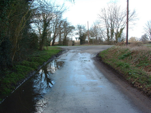
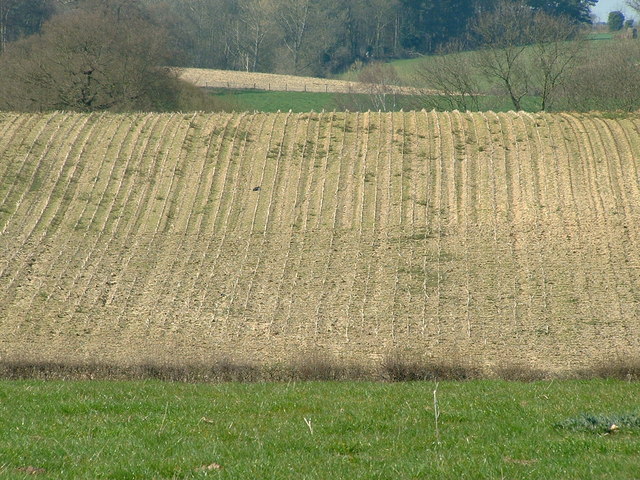
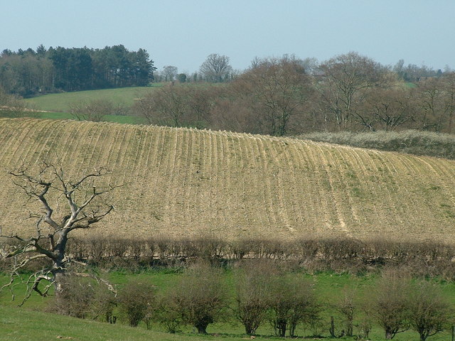
Icehouse Covert is a picturesque woodland located in Suffolk, England. Situated in the heart of the county, it is known for its dense forest and natural beauty. The covert is a part of the larger Oakley Wood, which covers an area of approximately 100 hectares.
The woodland is primarily composed of broadleaf trees, including oak, beech, and ash. These majestic trees provide shade and create a tranquil atmosphere, making it a popular destination for nature enthusiasts and walkers. The forest floor is covered in a diverse range of flora, including bluebells and wild garlic, adding bursts of color to the landscape during the spring months.
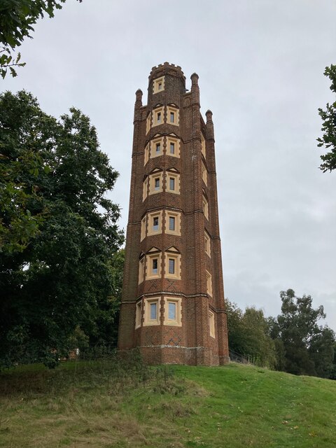
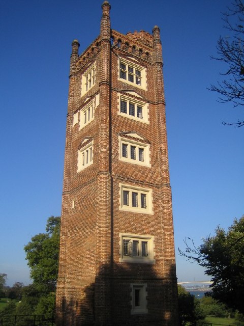
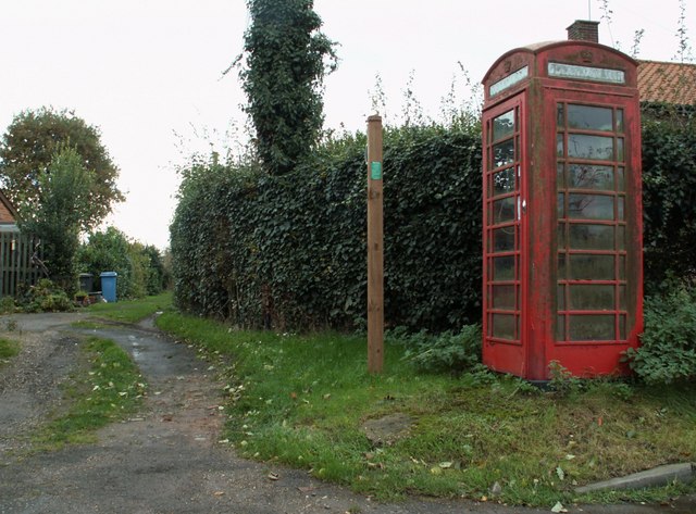
One of the notable features of Icehouse Covert is its historical significance. As the name suggests, there is an icehouse located within the woodland. Icehouses were used in the past to store ice, which was harvested from nearby ponds during the winter and preserved for use during the summer months. This particular icehouse was likely used by the local community in the 18th and 19th centuries.
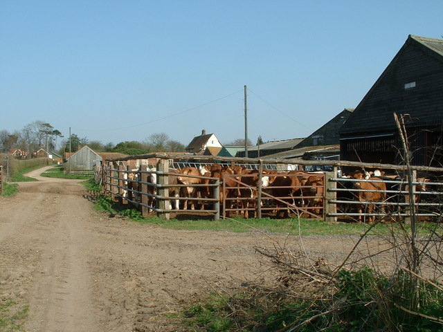
The tranquil setting of Icehouse Covert also makes it an ideal habitat for various wildlife species. Numerous birds, such as woodpeckers and nuthatches, can be spotted among the treetops, while small mammals like squirrels and rabbits scurry about on the forest floor. The woodland is also home to a variety of insects and butterflies.
Icehouse Covert offers visitors a peaceful retreat from the bustling city life, providing an opportunity to immerse themselves in the beauty of nature and explore its historical significance.
If you have any feedback on the listing, please let us know in the comments section below.
Icehouse Covert Images
Images are sourced within 2km of 52.019432/1.1462473 or Grid Reference TM1540. Thanks to Geograph Open Source API. All images are credited.


Icehouse Covert is located at Grid Ref: TM1540 (Lat: 52.019432, Lng: 1.1462473)
Administrative County: Suffolk
District: Babergh
Police Authority: Suffolk
What 3 Words
///loitering.reckoned.relating. Near Holbrook, Suffolk
Nearby Locations
Related Wikis
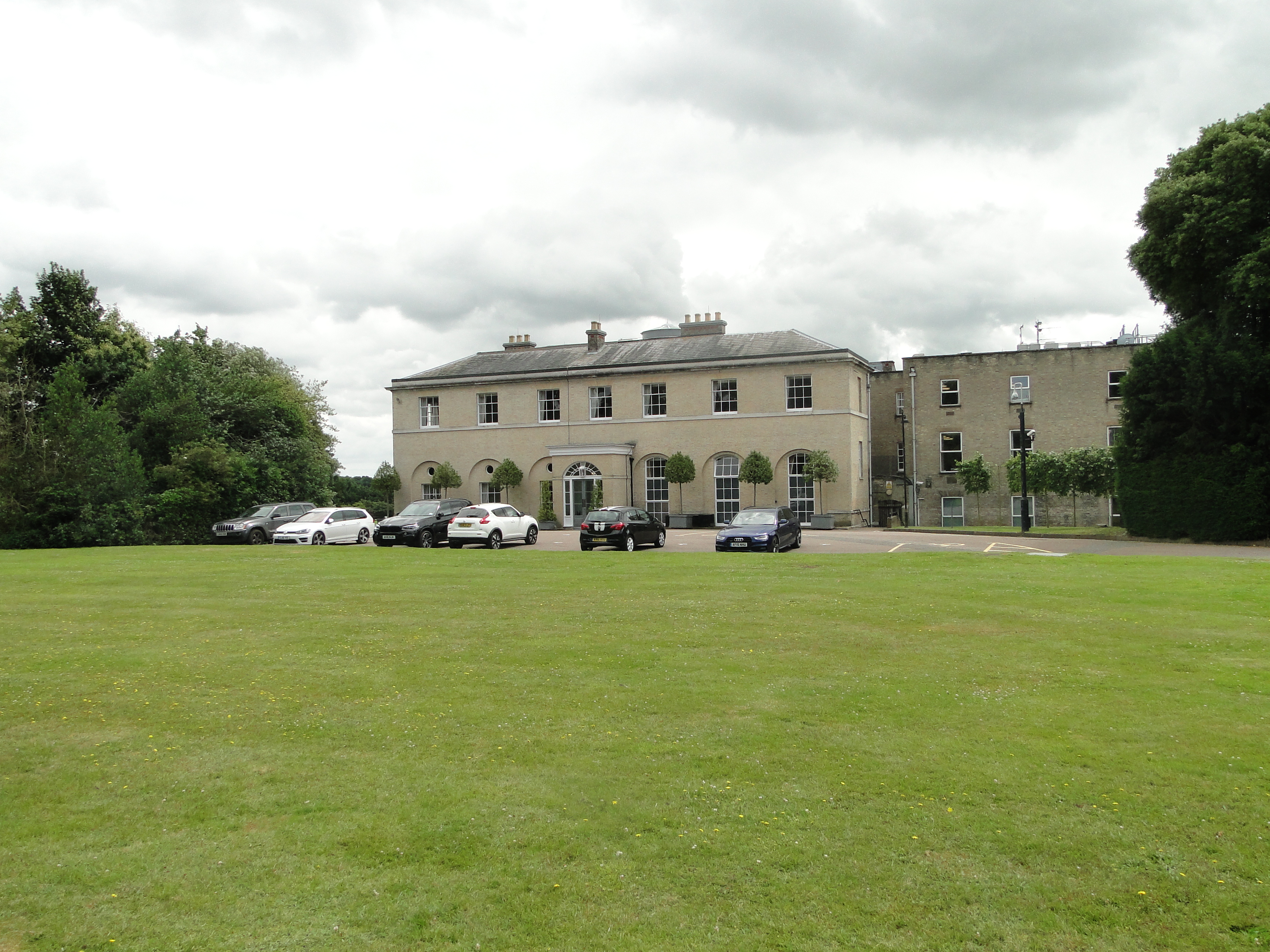
Wherstead Park
Wherstead Park Mansion in Suffolk is a house of historical significance and is listed on the English Heritage Register. It was built in 1792 for Sir Robert...
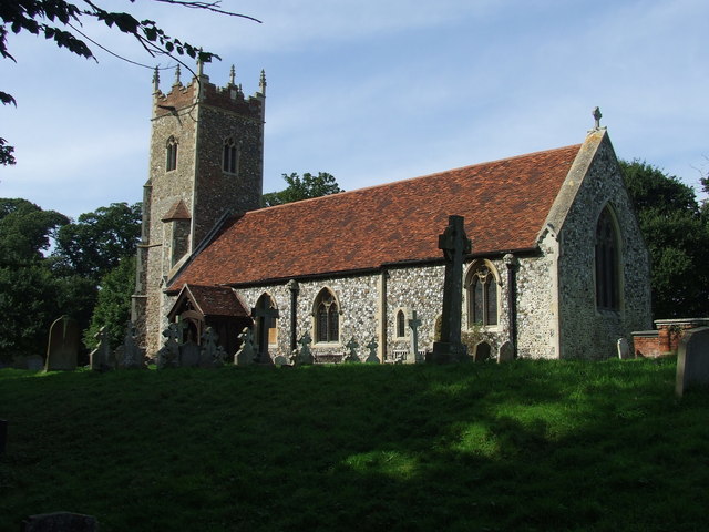
Wherstead
Wherstead is a village and a civil parish located in the county of Suffolk, England. Wherstead village lies 3 miles (4.8 km) south of Ipswich on the Shotley...

Freston and Cutler's Woods with Holbrook Park
Freston and Cutler's Woods with Holbrook Park is a 142 hectare biological Site of Special Scientific Interest south of Ipswich in Suffolk. The site is...

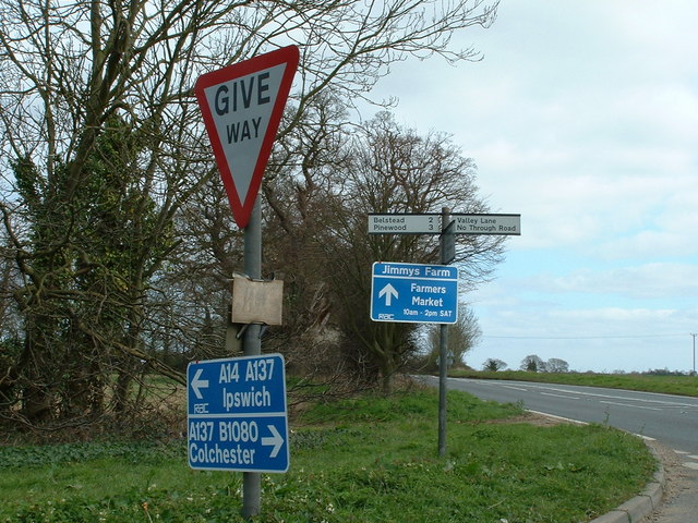
Jimmy's Farm
Jimmy's Farm is a British television series set in a working rare-breed farm, tourist destination and wedding venue in Wherstead, Suffolk. The series is...
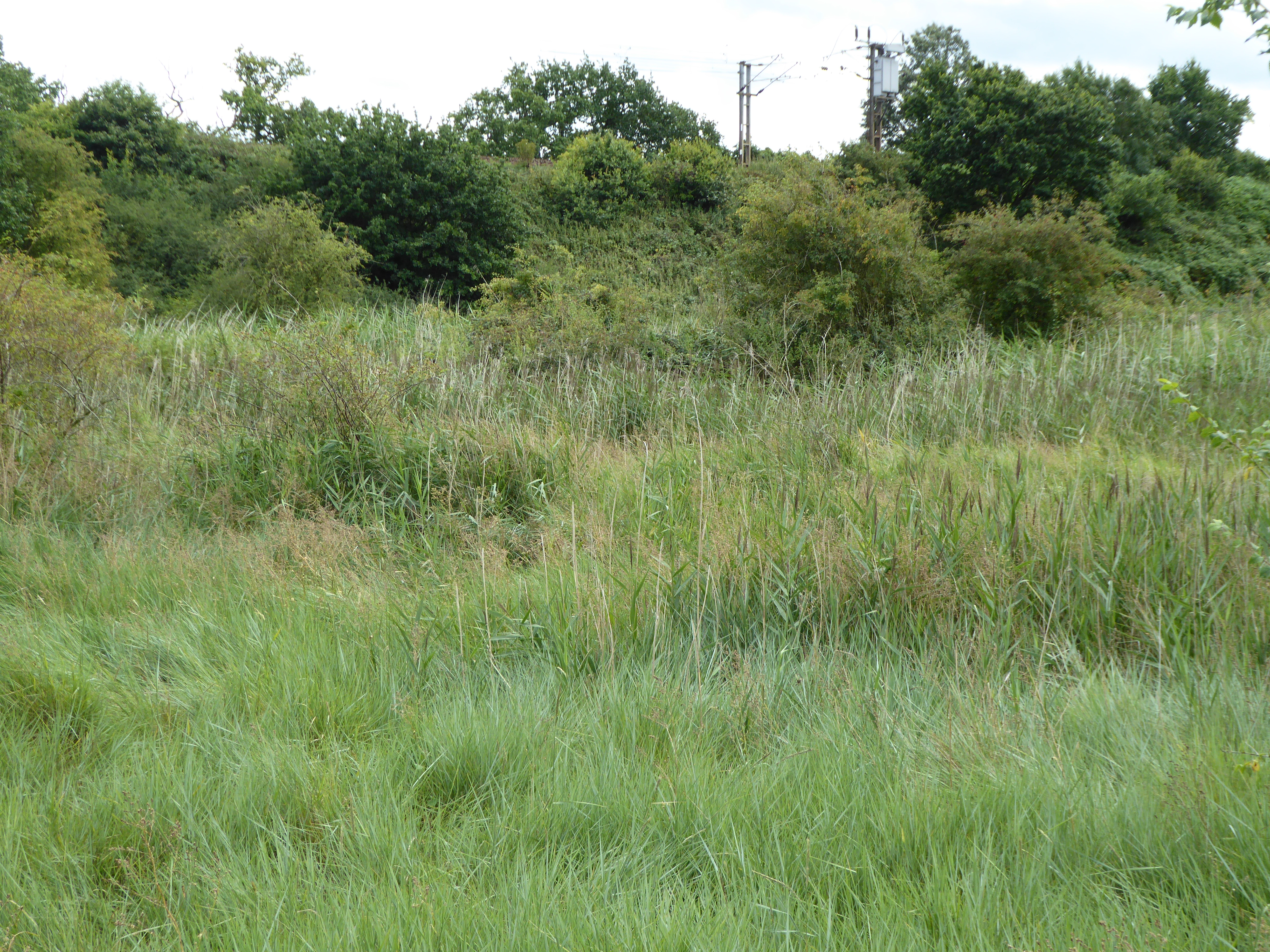
Bourne Park Reed Beds
Bourne Park Reed Beds is a 7.4 hectare Local Nature Reserve on the southern outskirts of Ipswich in Suffolk, United Kingdom. It is owned and managed by...

Bobbitshole, Belstead
Bobbitshole is a 1.7-hectare (4.2-acre) geological Site of Special Scientific Interest in Belstead, on the southern outskirts of Ipswich in Suffolk. It...

Orwell Bridge
The Orwell Bridge is a concrete box girder bridge just south of Ipswich in Suffolk, England. Opened to road traffic in 1982, the bridge carries the A14...
Bourne Bridge, Suffolk
Bourne Bridge is an historic bridge in Suffolk, England. It provided the boundary mark between Ipswich and Wherstead. The date at which a bridge replaced...
Related Videos

Walking With Dinosaurs 3D Movie 2 (2025)
Cast James McAvoy as Patchi the Pachyrhinosaurus John Leguizamo as Alex the Alexornis Moira Kelly as Juniper the ...
Our £5.00 per night Autumn Vanlife Camper Weekend Stopover Hike on the Shotley Peninsula
Our £5.00 per night Autumn, Vanlife, Camper Weekend on the Shotley Peninsula. We stayed at the lovely Vera's Motorhome Aire ...


Nearby Amenities
Located within 500m of 52.019432,1.1462473Have you been to Icehouse Covert?
Leave your review of Icehouse Covert below (or comments, questions and feedback).