King's Wood
Wood, Forest in Essex Tendring
England
King's Wood

King's Wood is a vast and magnificent woodland located in the county of Essex, England. Covering an expansive area of approximately 2,200 acres, it is considered to be one of the largest woods in the entire county. This ancient forest is situated near the villages of High Ongar and Shelley, providing a picturesque and tranquil haven for nature enthusiasts and visitors alike.
The wood's name originates from its historical significance, being a former hunting ground for the Kings of England. It has a rich and fascinating history, dating back to the Roman times, with evidence of human presence and activities found within its boundaries. King's Wood boasts an array of diverse habitats, ranging from ancient woodland to open meadows, providing a home to a wide variety of flora and fauna.
The woodland is predominantly composed of oak, beech, and hornbeam trees, creating a dense and enchanting canopy that casts dappled sunlight onto the forest floor. The diverse ecosystem supports an abundance of wildlife, including various bird species, mammals, reptiles, and insects.
King's Wood offers an extensive network of footpaths and trails, allowing visitors to explore and immerse themselves in the natural beauty of the surroundings. The wood also features a designated picnic area, where families and friends can enjoy a leisurely outdoor meal amidst the peaceful ambiance.
Managed by the Forestry Commission, King's Wood is a cherished and protected natural treasure. It serves as an important site for conservation and environmental education, with ongoing efforts to maintain and enhance its ecological value. Whether for a peaceful stroll, wildlife spotting, or a moment of solitude in nature, King's Wood offers a truly captivating experience for all who venture within its ancient borders.
If you have any feedback on the listing, please let us know in the comments section below.
King's Wood Images
Images are sourced within 2km of 51.923391/1.1386204 or Grid Reference TM1529. Thanks to Geograph Open Source API. All images are credited.


King's Wood is located at Grid Ref: TM1529 (Lat: 51.923391, Lng: 1.1386204)
Administrative County: Essex
District: Tendring
Police Authority: Essex
What 3 Words
///forwarded.relay.unfocused. Near Mistley, Essex
Nearby Locations
Related Wikis

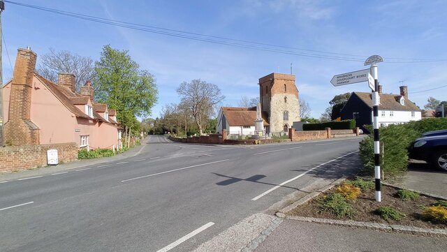
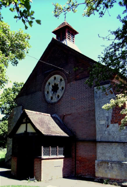
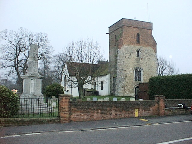
St Mary's Church, Wix
St Mary's Church is a Grade II listed Anglican parish church in the village of Wix, Essex, England. Formerly associated with a priory from the Middle Ages...
Wix Priory
Wix Priory was a Benedictine nunnery in Wix, Essex, England, founded in around 1125–1135 and dissolved in 1525. The buildings have not survived except...

Wix, Essex
Wix is a village and civil parish in the Tendring district of north-east Essex, England. It lies in a small valley about 2 miles (3 km) south of the Stour...
Bradfield, Essex
Bradfield is a village and civil parish in Essex, England. It is located about 3 miles (5 km) east of Manningtree and is 31 miles (50 km) northeast from...
Priory Halt railway station
Priory Halt railway station served the district of Tendring, Essex, England, from 1920 to 1965 on the Mayflower Line. == History == The station opened...

Wrabness Nature Reserve
Wrabness Nature Reserve is a 27 hectare Local Nature Reserve on the south bank of the River Stour, west of Wrabness in Essex. It is managed by the Essex...

Oakfield Wood
Oakfield Wood is a 2.8-hectare (6.9-acre) nature reserve west of Wrabness in Essex. It is managed by the Essex Wildlife Trust.This is former farmland which...

Bradfield railway station
Bradfield railway station served the village of Bradfield in Essex. It was on the Manningtree to Harwich branch line, which is today known as The Mayflower...
Nearby Amenities
Located within 500m of 51.923391,1.1386204Have you been to King's Wood?
Leave your review of King's Wood below (or comments, questions and feedback).