Weeleyhall Wood
Wood, Forest in Essex Tendring
England
Weeleyhall Wood
Weeleyhall Wood is a picturesque woodland located in the county of Essex, England. Covering an area of approximately 65 hectares, it is a popular destination for nature enthusiasts and outdoor enthusiasts alike. The wood is situated near the village of Weeley, approximately 10 miles northeast of the town of Colchester.
The woodland is predominantly composed of deciduous trees, including oak, birch, and beech. The dense canopy of foliage provides a serene and peaceful atmosphere, making it an ideal spot for walking, picnicking, and wildlife spotting. The forest floor is covered in a thick layer of leaf litter, creating a natural habitat for a diverse range of plant and animal species.
Weeleyhall Wood is renowned for its rich biodiversity, with a variety of bird species, including woodpeckers, warblers, and owls, making it their home. The wood is also home to a number of mammal species such as deer, foxes, and badgers. The presence of these animals adds to the allure of the wood, providing visitors with the opportunity to observe and appreciate wildlife in its natural habitat.
The wood is well-maintained with a network of footpaths and trails that allow visitors to explore the area at their own pace. There are also designated areas for camping and picnicking, making it an ideal spot for a day trip or a weekend getaway. The tranquil and idyllic setting of Weeleyhall Wood makes it a perfect retreat for those seeking respite from the hustle and bustle of everyday life.
If you have any feedback on the listing, please let us know in the comments section below.
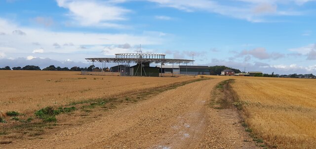
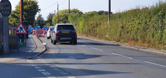
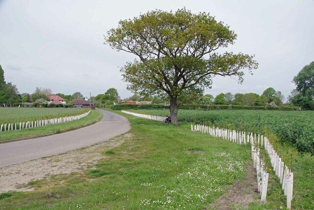
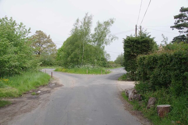
Weeleyhall Wood Images
Images are sourced within 2km of 51.845474/1.1329468 or Grid Reference TM1520. Thanks to Geograph Open Source API. All images are credited.


Weeleyhall Wood is located at Grid Ref: TM1520 (Lat: 51.845474, Lng: 1.1329468)
Administrative County: Essex
District: Tendring
Police Authority: Essex
What 3 Words
///quack.downsize.anchorman. Near Little Clacton, Essex
Nearby Locations
Related Wikis

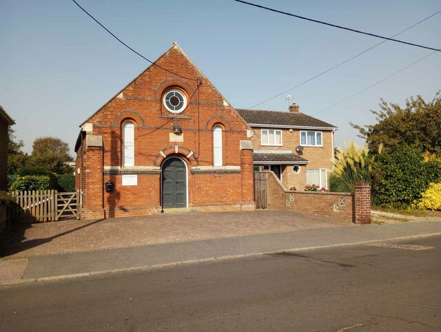
Weeleyhall Wood
Weeleyhall Wood is a 31 hectare biological Site of Special Scientific Interest north of Clacton-on-Sea in Essex. It is managed by the Essex Wildlife Trust...

Weeley Heath
Weeley Heath is a hamlet on the B1441 road and the B1414 road, in the Tendring district, in the English county of Essex. Nearby settlements include the...

Weeley
Weeley is a village and civil parish in Tendring, east Essex, England. The population of the parish at the 2011 Census was 1,768. It is served by Weeley...

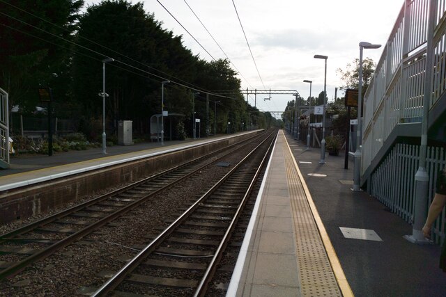
Weeley railway station
Weeley railway station is on the Sunshine Coast Line, a branch of the Great Eastern Main Line, in the East of England, serving the village of Weeley, Essex...
Row Heath
Row Heath is a hamlet on Rectory Road in the Tendring district, in the county of Essex, England. The hamlet is near the A133 road between Weeley Heath...
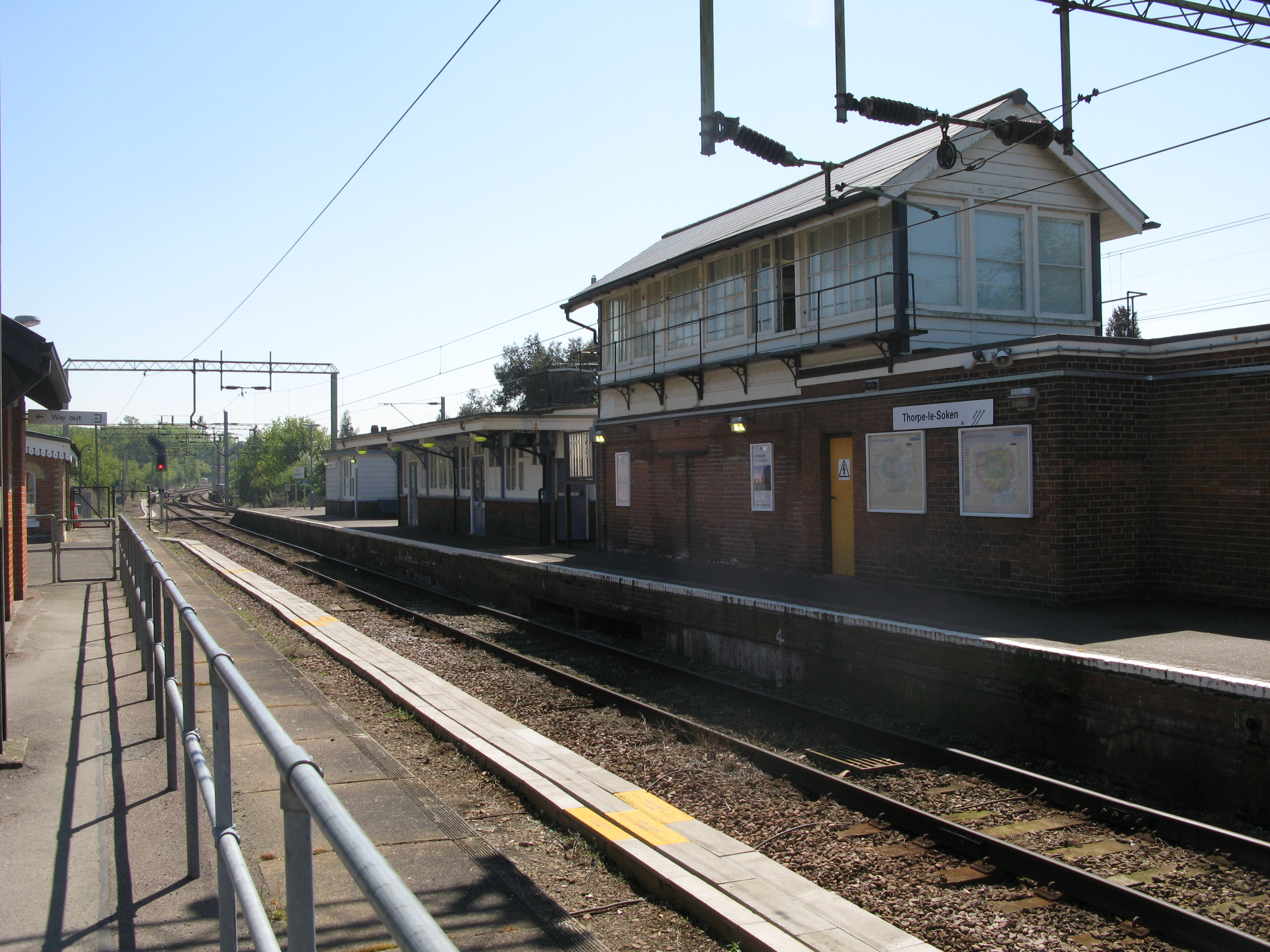
Thorpe-le-Soken railway station
Thorpe-le-Soken railway station is on the Sunshine Coast Line, a branch of the Great Eastern Main Line, in the East of England, serving the village of...

Clacton (UK Parliament constituency)
Clacton is a constituency in Essex represented in the House of Commons of the UK Parliament since 2017 by Giles Watling of the Conservative Party. ��2...
Comarques, Thorpe-le-Soken
Comarques is an 18th-century country house in Thorpe-le-Soken, Essex, England. It has been attributed to the architect, Sir Robert Taylor. Named after...
Nearby Amenities
Located within 500m of 51.845474,1.1329468Have you been to Weeleyhall Wood?
Leave your review of Weeleyhall Wood below (or comments, questions and feedback).