Ash Plantation
Wood, Forest in Norfolk South Norfolk
England
Ash Plantation

Ash Plantation is a woodland area located in Norfolk, England. Situated in the heart of the county, it covers an expansive area of approximately 500 acres. The plantation is primarily composed of ash trees, hence its name, which dominate the landscape and create a dense canopy that provides shade and shelter for various animal species.
The forest boasts a rich biodiversity, offering a diverse range of habitats that support a wide array of flora and fauna. The forest floor is covered with a thick layer of leaf litter, providing a fertile ground for numerous plant species to flourish. Bluebells, wood anemones, and wild garlic are just a few of the many wildflowers that can be found in abundance during the spring months.
The woodland is a popular destination for nature enthusiasts and outdoor enthusiasts alike. A network of well-maintained trails and paths crisscrosses through the plantation, allowing visitors to explore and appreciate the natural beauty of the area. These paths also provide access to several scenic viewpoints, offering panoramic vistas of the surrounding countryside.
Ash Plantation is home to a variety of wildlife, including deer, foxes, badgers, and a plethora of bird species. Birdwatchers flock to the area to catch a glimpse of the resident woodpeckers, owls, and buzzards that call the woodland their home.
Overall, Ash Plantation in Norfolk is a picturesque and biodiverse woodland area that offers a tranquil escape from the hustle and bustle of everyday life. Its lush vegetation, well-maintained trails, and abundant wildlife make it a must-visit destination for nature lovers and those seeking a peaceful retreat in the heart of the English countryside.
If you have any feedback on the listing, please let us know in the comments section below.
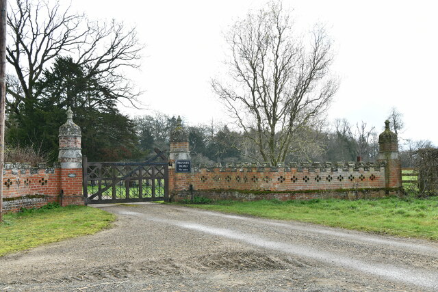
Ash Plantation Images
Images are sourced within 2km of 52.383917/1.1689711 or Grid Reference TM1580. Thanks to Geograph Open Source API. All images are credited.


Ash Plantation is located at Grid Ref: TM1580 (Lat: 52.383917, Lng: 1.1689711)
Administrative County: Norfolk
District: South Norfolk
Police Authority: Norfolk
What 3 Words
///professes.shape.sampling. Near Dickleburgh, Norfolk
Nearby Locations
Related Wikis

Thelveton
Thelveton (historically Thelton, earlier Telvetun) is a village and former civil parish, now in the parish of Scole, in the South Norfolk district, in...
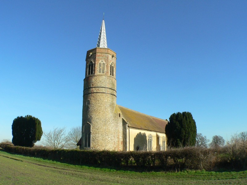
St George's Church, Shimpling
St George's Church is a redundant Anglican church in the village of Shimpling, Norfolk, England. It is recorded in the National Heritage List for England...

Dickleburgh
Dickleburgh is a village and former civil parish, now in the parish of Dickleburgh and Rushall, in the South Norfolk district of the English county of...

Rushall, Norfolk
Rushall is a village and former civil parish, now in the parish of Dickleburgh and Rushall, in the South Norfolk district, in the county of Norfolk, England...

Scole
Scole () is a village on the Norfolk–Suffolk border in England. It is 19 miles south of Norwich and lay on the old Roman road to Venta Icenorum, which...
Burston and Shimpling
Burston and Shimpling is a civil parish in the county of Norfolk, England. The parish covers an area of 9.17 km2 (3.54 sq mi) and had a population of 538...

Burston, Norfolk
Burston is a village and former civil parish, now in the parish of Burston and Shimpling, in the South Norfolk district, in the county of Norfolk, England...

St Andrew's Church, Frenze
St Andrew's Church is a redundant Anglican church in the civil parish of Scole, Norfolk, England. It is recorded in the National Heritage List for England...
Nearby Amenities
Located within 500m of 52.383917,1.1689711Have you been to Ash Plantation?
Leave your review of Ash Plantation below (or comments, questions and feedback).