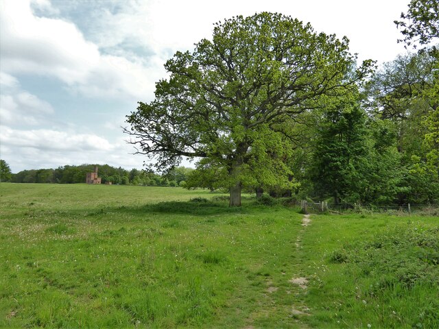
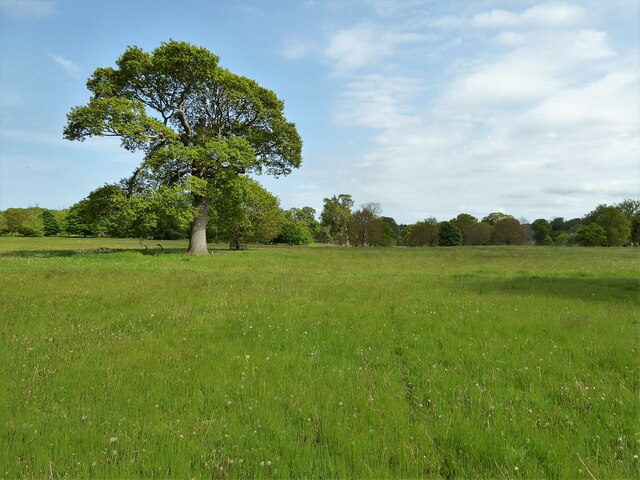
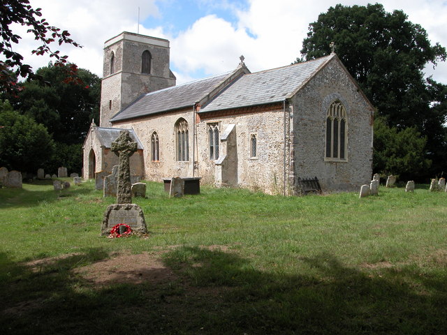
Buck's Common
Wood, Forest in Norfolk Broadland
England
Buck's Common
The requested URL returned error: 429 Too Many Requests
If you have any feedback on the listing, please let us know in the comments section below.
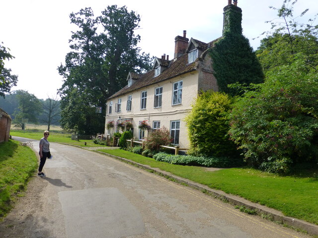
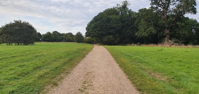
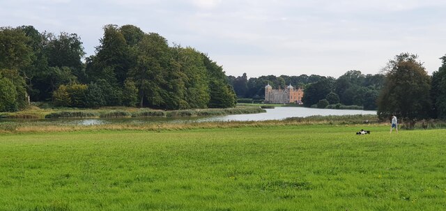
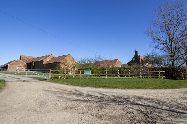
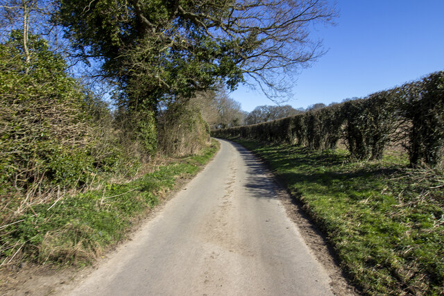
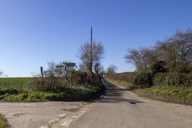
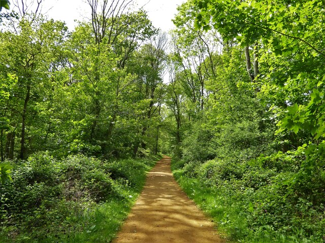
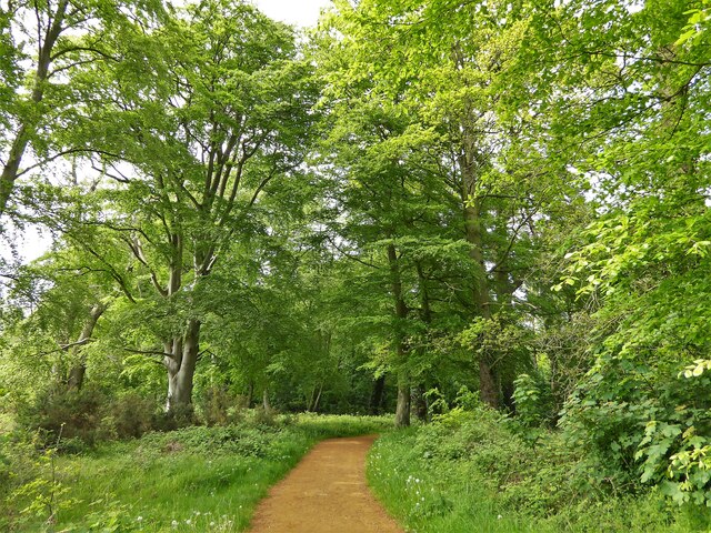
Buck's Common Images
Images are sourced within 2km of 52.814732/1.19993 or Grid Reference TG1528. Thanks to Geograph Open Source API. All images are credited.


Buck's Common is located at Grid Ref: TG1528 (Lat: 52.814732, Lng: 1.19993)
Administrative County: Norfolk
District: Broadland
Police Authority: Norfolk
What 3 Words
///eyelashes.abolish.tractor. Near Aylsham, Norfolk
Nearby Locations
Related Wikis
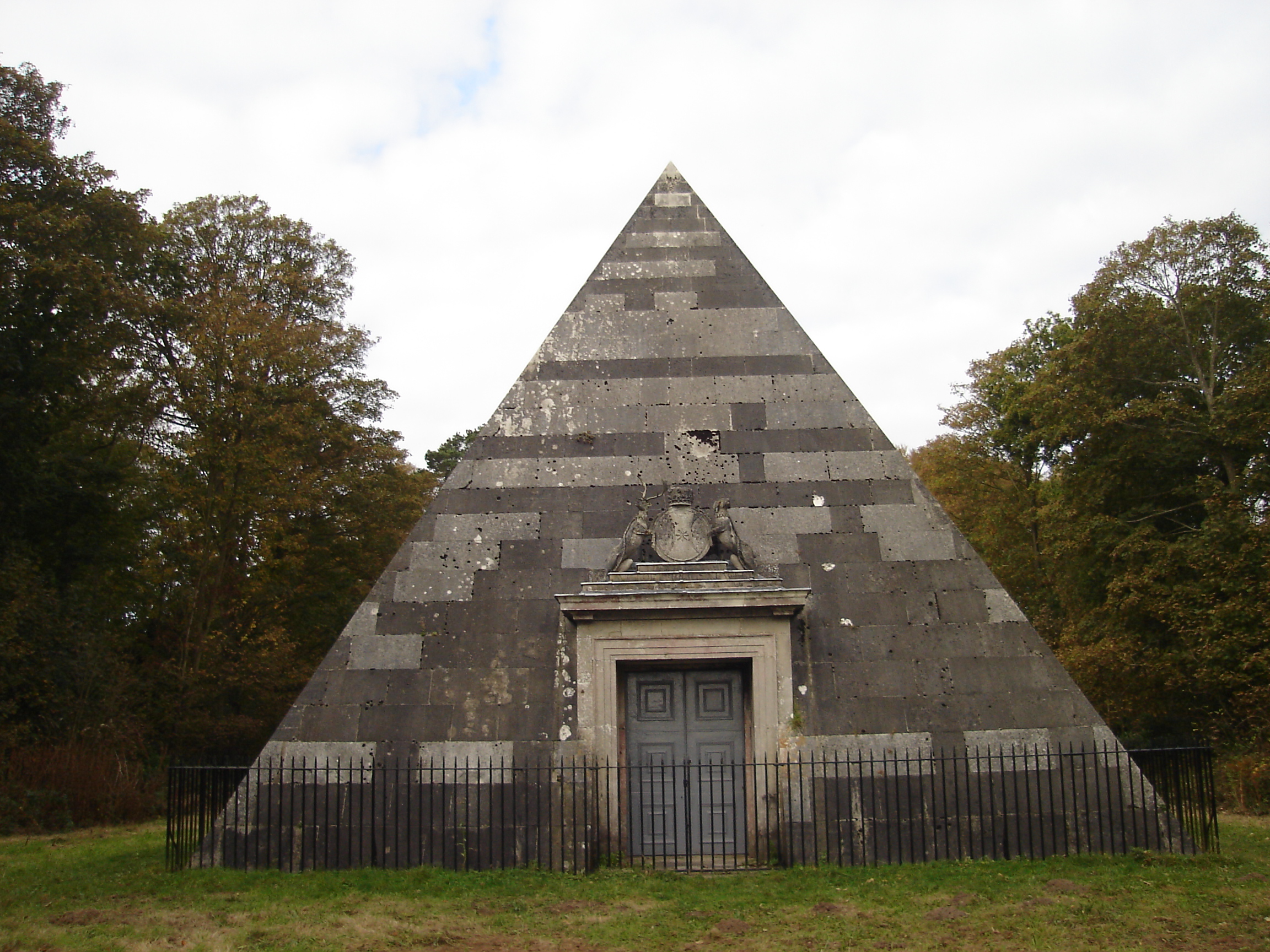
Blickling Park mausoleum
The Blickling Park mausoleum is a Grade II* listed building in the grounds of Blickling Hall, Norfolk, England. It was commissioned in 1793 by Lady Caroline...

Moorgate, Norfolk
Moorgate is a village to the north of Aylsham in the county of Norfolk, England.

RAF Oulton
Royal Air Force Oulton or more simply RAF Oulton is a former Royal Air Force satellite station located 3 miles (4.8 km) west of Aylsham, Norfolk and 12...
Itteringham
Itteringham is a village and civil parish in the English county of Norfolk, some 4+1⁄2 miles (7.2 km) northwest of the market town of Aylsham. It covers...
Nearby Amenities
Located within 500m of 52.814732,1.19993Have you been to Buck's Common?
Leave your review of Buck's Common below (or comments, questions and feedback).