Gibbet Plantation
Wood, Forest in Norfolk North Norfolk
England
Gibbet Plantation
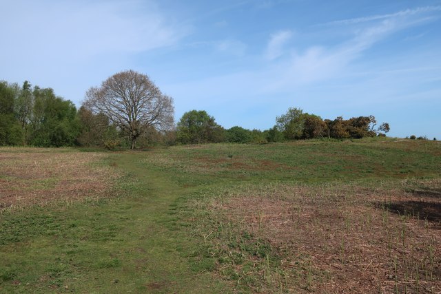
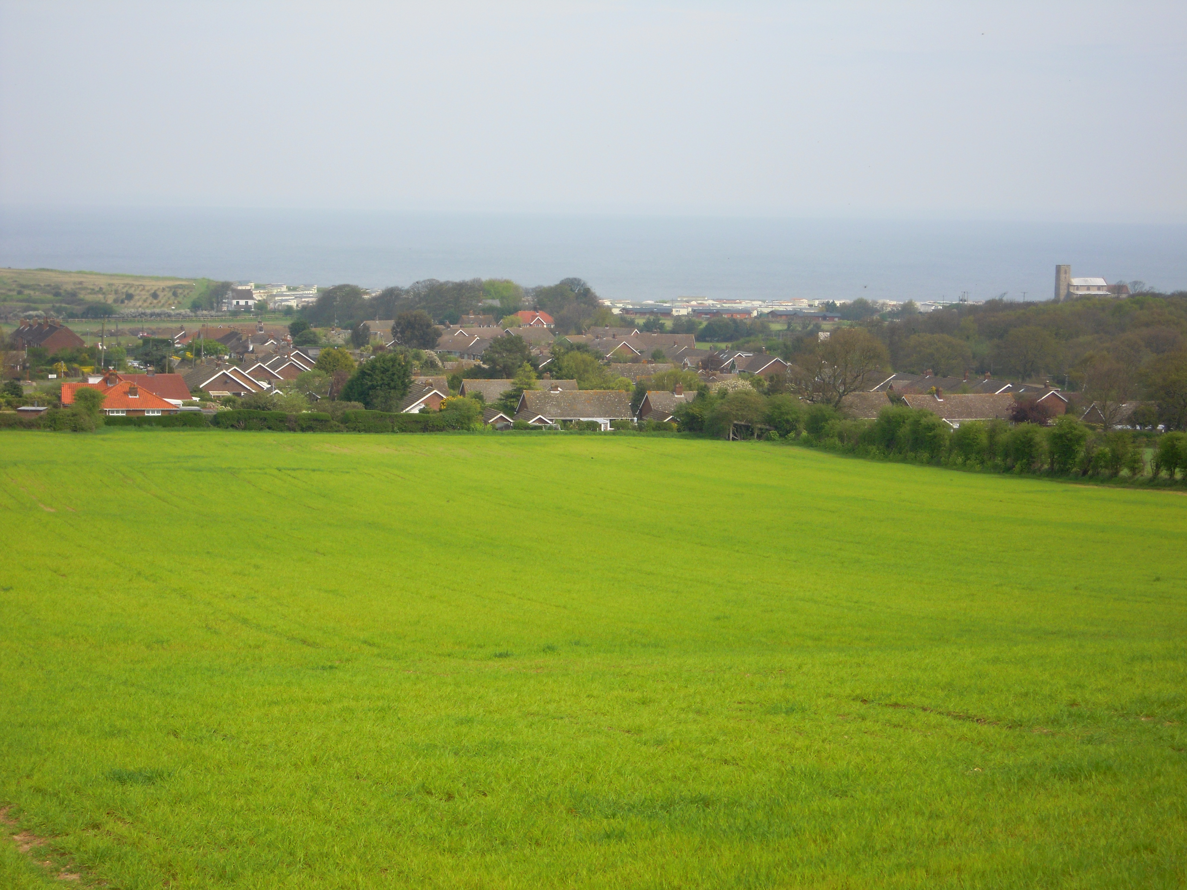
Gibbet Plantation is a historic woodland located in Norfolk, England. Nestled within the countryside, it covers an area of approximately 50 acres. The plantation is renowned for its picturesque landscape, diverse flora, and rich history.
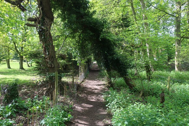
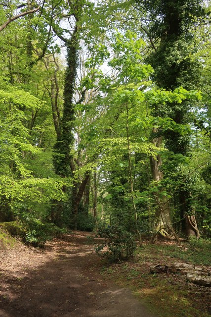
The woodland is predominantly composed of oak and beech trees, which provide a lush canopy and create a peaceful and serene atmosphere. These trees are home to a variety of wildlife, including birds, squirrels, and deer, making it a popular spot for nature enthusiasts and birdwatchers.
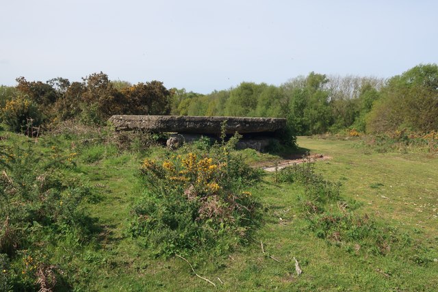
Gibbet Plantation holds a significant historical background. The name "Gibbet" stems from the presence of a gallows that once stood within the woodland. This gallows was used to execute criminals during the 18th and 19th centuries. While the original structure is no longer standing, its legacy is preserved through the plantation's name and historical markers.
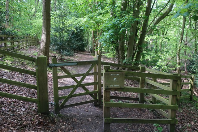
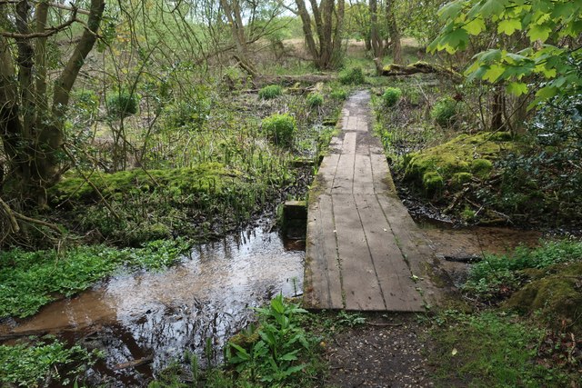
Today, the woodland is a popular destination for walkers, joggers, and families seeking tranquility and fresh air. It offers a network of well-maintained paths that wind through the trees, providing an opportunity to explore and discover the natural beauty of the area.
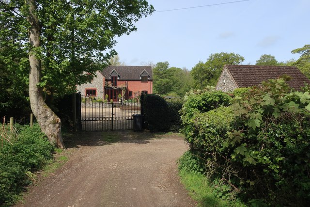
Gibbet Plantation is easily accessible, with a car park and nearby public transport options. It also benefits from the presence of picnic areas and benches, allowing visitors to relax and enjoy the surroundings. The woodland is open to the public year-round and is particularly beautiful during the autumn months when the trees display vibrant shades of red, orange, and yellow.
In conclusion, Gibbet Plantation offers a picturesque woodland experience, combining natural beauty with a touch of history. Its diverse flora and fauna, coupled with its tranquil ambience, make it a beloved destination for both locals and tourists alike.
If you have any feedback on the listing, please let us know in the comments section below.
Gibbet Plantation Images
Images are sourced within 2km of 52.922824/1.203452 or Grid Reference TG1540. Thanks to Geograph Open Source API. All images are credited.


Gibbet Plantation is located at Grid Ref: TG1540 (Lat: 52.922824, Lng: 1.203452)
Administrative County: Norfolk
District: North Norfolk
Police Authority: Norfolk
What 3 Words
///reboot.blazers.forehand. Near Sheringham, Norfolk
Nearby Locations
Related Wikis

A1082 road
The A1082 is an English A road entirely in the county of Norfolk. It runs from a junction with the A148 King's Lynn to Cromer Road to a roundabout on the...
Upper Sheringham
Upper Sheringham is a village and a civil parish in the English county of Norfolk. The village is 26.8 miles (43.1 km) north-north-west of Norwich, 6...

East Beckham
East Beckham is a village and a civil parish in the English county of Norfolk. The village is 23.4 miles (37.7 km) north of Norwich, 5 miles (8 km) south...

Sheringham Woodfields School
Sheringham Woodfields School is a co-educational special school located in Sheringham in the English county of Norfolk.It is a Learning and Cognition Specialist...

Briton's Lane Gravel Pit
Briton's Lane Gravel Pit is a 21.5-hectare (53-acre) geological Site of Special Scientific Interest east of Sheringham in Norfolk. It is a Geological...
Sheringham High School
Sheringham High School is a secondary school and sixth form located in the town of Sheringham in the English county of Norfolk. The school has around 700...
Beeston Regis
Beeston Regis is a village and civil parish in the North Norfolk district of Norfolk, England. It is about a mile (2 km) east of Sheringham, Norfolk and...
Wood-Dene School
Wood-Dene School was a private school for the creative arts in the English county of Norfolk in Great Britain, closing during March 2010. The school was...
Nearby Amenities
Located within 500m of 52.922824,1.203452Have you been to Gibbet Plantation?
Leave your review of Gibbet Plantation below (or comments, questions and feedback).