Hartley Grove

Wood, Forest in Essex Tendring

England

Hartley Grove

Bridge over the A133 
The A133 road runs for 19 miles between Colchester and Clacton-on-Sea. One end is at Cymbeline Way in Lexden, from where the road runs through the Avenue of Remembrance, bypassing Colchester town centre. It also runs past Wivenhoe Park, through Elmstead Market, Frating Green, meeting a spur from the A120 road at Great Bentley. The road by-passes Weeley, Weeley Heath, Little Clacton, Great Clacton ending in Clacton on Sea (<span class="nowrap"><a title="http://en.wikipedia.org/wiki/A133_road" rel="nofollow ugc noopener" href="http://en.wikipedia.org/wiki/A133_road">Link</a><img style="margin-left:2px;" alt="External link" title="External link - shift click to open in new window" src="https://s1.geograph.org.uk/img/external.png" width="10" height="10"/></span>  Wikipedia).
Bridge over the A133 Credit: JThomas

Hartley Grove is a picturesque village located in Essex, England. Situated in the heart of the Wood Forest, it is known for its serene and tranquil atmosphere, making it an ideal place for nature enthusiasts and those seeking a peaceful retreat.

The village of Hartley Grove boasts a rich history that dates back centuries. Its name is derived from the combination of "hart," meaning stag, and "ley," indicating a clearing in the woods. This reflects the village's deep connection to the surrounding woodland area.

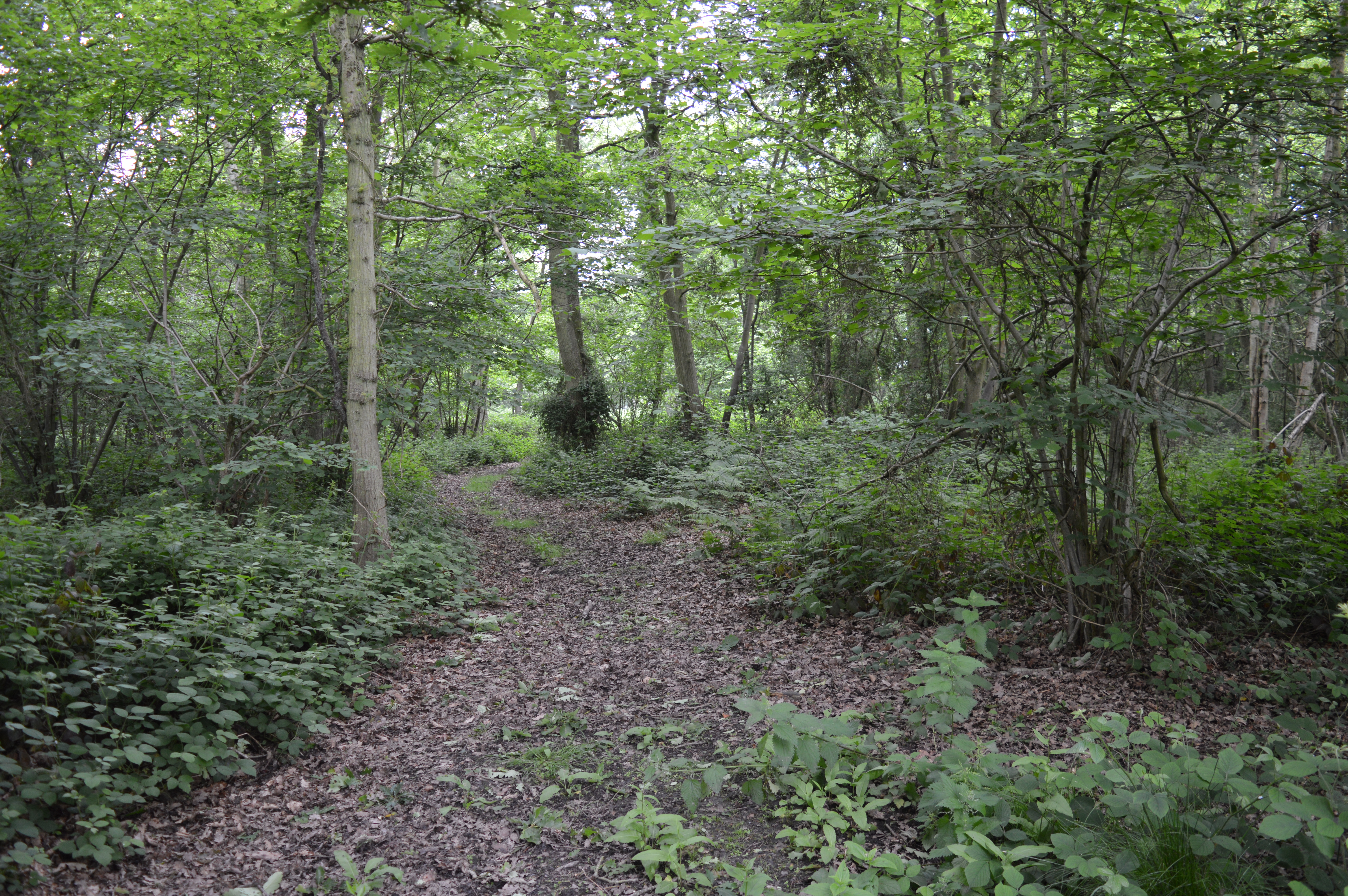
The Wood Forest, which surrounds Hartley Grove, is a haven for wildlife and offers numerous opportunities for outdoor activities. The forest is made up of a diverse range of tree species, including oak, beech, and birch, creating a stunning natural landscape. Walking and hiking trails crisscross the area, allowing visitors to explore and appreciate the beauty of the forest.

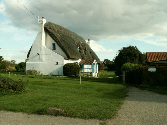
The village itself is a close-knit community, with a small population that values the preservation of its natural surroundings. The charming cottages and traditional architecture give Hartley Grove a quaint and timeless appeal. There is a sense of pride in maintaining the village's historical integrity, with many of the buildings dating back centuries.

A local pub and village hall serve as meeting points for residents, where they can socialize and participate in community events. The village also has a primary school, ensuring a strong sense of community among families.

Overall, Hartley Grove, Essex, is a hidden gem nestled within the Wood Forest. Its natural beauty, historical significance, and strong community spirit make it a truly special place to visit or call home.

If you have any feedback on the listing, please let us know in the comments section below.

Hartley Grove Images

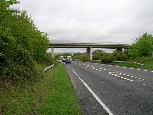
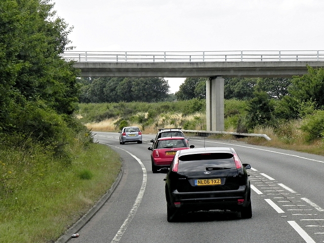
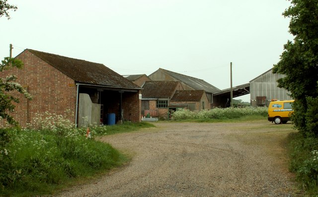
Images are sourced within 2km of 51.821641/1.124427 or Grid Reference TM1518. Thanks to Geograph Open Source API. All images are credited.

Bridge over the A133 
The A133 road runs for 19 miles between Colchester and Clacton-on-Sea. One end is at Cymbeline Way in Lexden, from where the road runs through the Avenue of Remembrance, bypassing Colchester town centre. It also runs past Wivenhoe Park, through Elmstead Market, Frating Green, meeting a spur from the A120 road at Great Bentley. The road by-passes Weeley, Weeley Heath, Little Clacton, Great Clacton ending in Clacton on Sea (<span class="nowrap"><a title="http://en.wikipedia.org/wiki/A133_road" rel="nofollow ugc noopener" href="http://en.wikipedia.org/wiki/A133_road">Link</a><img style="margin-left:2px;" alt="External link" title="External link - shift click to open in new window" src="https://s1.geograph.org.uk/img/external.png" width="10" height="10"/></span>  Wikipedia).
Bridge over the A133
The A133 road runs for 19 miles between Colchester and Clacton-on-Sea. One end is at Cymbeline Way in Lexden, from where the road runs through the Avenue of Remembrance, bypassing Colchester town centre. It also runs past Wivenhoe Park, through Elmstead Market, Frating Green, meeting a spur from the A120 road at Great Bentley. The road by-passes Weeley, Weeley Heath, Little Clacton, Great Clacton ending in Clacton on Sea (LinkExternal link Wikipedia).
A133 towards Colchester 
The A133 road runs for 19 miles between Colchester and Clacton-on-Sea. One end is at Cymbeline Way in Lexden, from where the road runs through the Avenue of Remembrance, bypassing Colchester town centre. It also runs past Wivenhoe Park, through Elmstead Market, Frating Green, meeting a spur from the A120 road at Great Bentley. The road by-passes Weeley, Weeley Heath, Little Clacton, Great Clacton ending in Clacton on Sea (<span class="nowrap"><a title="http://en.wikipedia.org/wiki/A133_road" rel="nofollow ugc noopener" href="http://en.wikipedia.org/wiki/A133_road">Link</a><img style="margin-left:2px;" alt="External link" title="External link - shift click to open in new window" src="https://s1.geograph.org.uk/img/external.png" width="10" height="10"/></span>  Wikipedia).
A133 towards Colchester
The A133 road runs for 19 miles between Colchester and Clacton-on-Sea. One end is at Cymbeline Way in Lexden, from where the road runs through the Avenue of Remembrance, bypassing Colchester town centre. It also runs past Wivenhoe Park, through Elmstead Market, Frating Green, meeting a spur from the A120 road at Great Bentley. The road by-passes Weeley, Weeley Heath, Little Clacton, Great Clacton ending in Clacton on Sea (LinkExternal link Wikipedia).
Farmland, Weeley Heath
Rectory Road Bridge over the A133 at Weeley Heath 
The A133 road runs for 19 miles between Colchester and Clacton-on-Sea. One end is at Cymbeline Way in Lexden, from where the road runs through the Avenue of Remembrance, bypassing Colchester town centre. It also runs past Wivenhoe Park, through Elmstead Market, Frating Green, meeting a spur from the A120 road at Great Bentley. The road by-passes Weeley, Weeley Heath, Little Clacton, Great Clacton ending in Clacton on Sea (<span class="nowrap"><a title="http://en.wikipedia.org/wiki/A133_road" rel="nofollow ugc noopener" href="http://en.wikipedia.org/wiki/A133_road">Link</a><img style="margin-left:2px;" alt="External link" title="External link - shift click to open in new window" src="https://s1.geograph.org.uk/img/external.png" width="10" height="10"/></span>  Wikipedia).
Rectory Road Bridge over the A133 at Weeley Heath
The A133 road runs for 19 miles between Colchester and Clacton-on-Sea. One end is at Cymbeline Way in Lexden, from where the road runs through the Avenue of Remembrance, bypassing Colchester town centre. It also runs past Wivenhoe Park, through Elmstead Market, Frating Green, meeting a spur from the A120 road at Great Bentley. The road by-passes Weeley, Weeley Heath, Little Clacton, Great Clacton ending in Clacton on Sea (LinkExternal link Wikipedia).
Rectory Road bridge over A133
A133 near Weeley Heath The A133 to and from Clacton by-passes the villages of Weeley and Weeley Heath using this by-pass.

This image was taken from a bridge which carries a minor road across the A133.
A133 near Weeley Heath
The A133 to and from Clacton by-passes the villages of Weeley and Weeley Heath using this by-pass. This image was taken from a bridge which carries a minor road across the A133.
St. James' church, Little Clacton, Essex Apart from the wooden belfry, this church remains much as the Normans left it.
St. James' church, Little Clacton, Essex
Apart from the wooden belfry, this church remains much as the Normans left it.
'The Blacksmiths Arms' inn, Little Clacton, Essex
Hartleywood Farm
Hartleywood Farm
Farmhouse at Row Heath Farm Row Heath lies northwest of Little Clacton.
Farmhouse at Row Heath Farm
Row Heath lies northwest of Little Clacton.
'The Beehive' public house at St. Osyth Heath, Essex The 1940s edition of the O/S map shows St. Osyth Heath as Chisbon Heath, and just to the right of this pub stands Chisbon House.
'The Beehive' public house at St. Osyth Heath, Essex
The 1940s edition of the O/S map shows St. Osyth Heath as Chisbon Heath, and just to the right of this pub stands Chisbon House.
The A.133, leaving Clacton-on-Sea, Essex
Bovill's Hall This hall lies to the west of Little Clacton. The O/S map shows it as Bovill's Hall, not farm, even though the buildings that surround it give every indication that it is a farm.
Bovill's Hall
This hall lies to the west of Little Clacton. The O/S map shows it as Bovill's Hall, not farm, even though the buildings that surround it give every indication that it is a farm.
Part of Elm Farm, just west of Great Clacton
Dead Lane at Little Clacton This lane used to continue to Little Clacton, but it is now cut in half by the new A.133, just a little further on from the barrier.
Dead Lane at Little Clacton
This lane used to continue to Little Clacton, but it is now cut in half by the new A.133, just a little further on from the barrier.
The farmhouse at Swain's Farm
High Birch Road In the distance is Bowshots Wood.
High Birch Road
In the distance is Bowshots Wood.
Part of Ampers Wick Farm
Show me another place!

Hartley Grove is located at Grid Ref: TM1518 (Lat: 51.821641, Lng: 1.124427)

Administrative County: Essex

District: Tendring

Police Authority: Essex

What 3 Words

///plenty.appealing.tinned. Near Little Clacton, Essex

Nearby Locations

Hartley Grove

Related Wikis

Little Clacton

Little Clacton is a village and civil parish in the Tendring district, in the county of Essex, England. It is located on the Tendring Peninsula, close...

St Osyth Heath

St Osyth Heath is a hamlet in the Tendring district, in the county of Essex, England. Until the mid-1900s, The Heath was a thriving community with shops...

Row Heath

Row Heath is a hamlet on Rectory Road in the Tendring district, in the county of Essex, England. The hamlet is near the A133 road between Weeley Heath...

Clacton (UK Parliament constituency)

Clacton is a constituency in Essex represented in the House of Commons of the UK Parliament since 2017 by Giles Watling of the Conservative Party. ��2...

Weeley Heath

Weeley Heath is a hamlet on the B1441 road and the B1414 road, in the Tendring district, in the English county of Essex. Nearby settlements include the...

Riddles Wood

Riddles Wood is a 37.3-hectare (92-acre) biological Site of Special Scientific Interest between Brightlingsea and Clacton-on-Sea in Essex.The site has...

Bocking's Elm

Bocking's Elm is a suburb of Clacton-on-Sea, in the Tendring district of Essex, England. == References == Essex A-Z (page 184)

Weeleyhall Wood

Weeleyhall Wood is a 31 hectare biological Site of Special Scientific Interest north of Clacton-on-Sea in Essex. It is managed by the Essex Wildlife Trust...

Nearby Amenities

Located within 500m of 51.821641,1.124427
Post Box
Mapillary: 521142349419585
Post Box Mounting: pier
Post Box Type: lamp
Postal Code: CO16 9NT
Ref: CO16 82
Survey Date: 2022-04-26
Lat/Long: 51.8180855/1.1285802
Bus Stop
Meadowview Estate
Flag: yes
Kerb: raised
Naptan AtcoCode: 1500IM88
Naptan Bearing: SW
Naptan BusStopType: CUS
Naptan CommonName: Meadowview Estate
Naptan Indicator: Opp
Naptan Landmark: Meadowview Estate
Naptan NaptanCode: esxajmwa
Naptan PlusbusZoneRef: CLACTON
Naptan Street: Little Clacton Road
Public Transport: platform
Shelter: yes
Source: naptan_import; survey
Timetable Case: yes
Lat/Long: 51.8180604/1.1286923
Bus Stop
Meadowview Estate
Flag: no
Naptan AtcoCode: 1500IM88B
Naptan Bearing: NE
Naptan BusStopType: CUS
Naptan CommonName: Meadowview Estate
Naptan Indicator: o/s
Naptan Landmark: Meadowview Estate
Naptan NaptanCode: esxadtmp
Naptan PlusbusZoneRef: CLACTON
Naptan Street: Little Clacton Road
Public Transport: platform
Source: naptan_import; survey
Lat/Long: 51.8181265/1.1286583
Power: pole
Source: bing
Lat/Long: 51.8211902/1.1296821
Power: pole
Source: bing
Lat/Long: 51.8221253/1.1300013
Power: pole
Source: bing
Lat/Long: 51.8205735/1.1294837
Power: pole
Source: bing
Lat/Long: 51.8229526/1.1303901
Power: pole
Source: bing
Lat/Long: 51.8237782/1.1308032
Barrier: scaffold_pole
Lat/Long: 51.821138/1.129729
Telephone
Booth: KX100
Lat/Long: 51.8179645/1.1264232
Waste Basket
Lat/Long: 51.819594/1.1295965
Bench
Lat/Long: 51.8196106/1.1296033
Barrier: motorcycle_barrier
Lat/Long: 51.8204254/1.1294808
Barrier: motorcycle_barrier
Lat/Long: 51.8204337/1.1294015
The data included in this document is from www.openstreetmap.org. The data is made available under ODbL.

Have you been to Hartley Grove?

Leave your review of Hartley Grove below (or comments, questions and feedback).