The Rough Strip
Wood, Forest in Norfolk North Norfolk
England
The Rough Strip
The Rough Strip, located in Norfolk, is a picturesque wood and forest area encompassing an approximate area of [insert size] hectares. This natural haven provides a serene environment, attracting nature enthusiasts, hikers, and bird watchers alike.
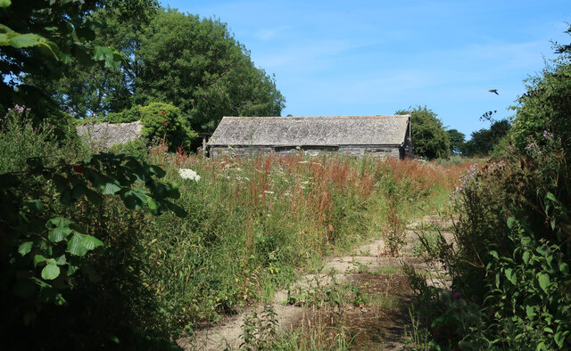
The Rough Strip boasts a diverse range of flora and fauna, with its woodlands comprising primarily deciduous trees such as oaks, beeches, and birches. The forest floor is covered in a thick carpet of moss, ferns, and wildflowers, adding to the enchanting atmosphere of the area. The plentiful vegetation provides a habitat for various wildlife species, including deer, foxes, badgers, and a myriad of bird species.
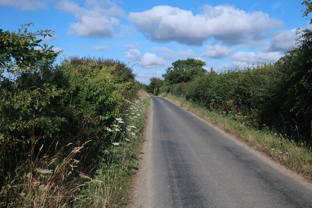
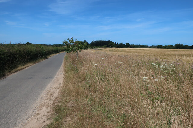
Hiking trails meander through the Rough Strip, offering visitors the opportunity to explore the natural beauty of the area. The trails are well-maintained and suitable for all levels of fitness, making it an ideal destination for families and nature lovers seeking a peaceful retreat. Along the way, visitors may encounter breathtaking viewpoints, babbling brooks, and hidden clearings that offer a tranquil space for picnics or meditation.
Bird watching enthusiasts will find The Rough Strip particularly captivating, as it hosts a diverse range of species. From the elusive woodpeckers to the majestic buzzards soaring above, bird watchers are in for a treat. Binoculars and cameras are highly recommended to capture the beauty of the avian residents.
The Rough Strip is a true gem within Norfolk's natural landscape, offering a sanctuary for both wildlife and visitors seeking solace amidst nature's splendor. Whether it's immersing oneself in the tranquility of the woods or marveling at the diverse birdlife, this forested area is a must-visit for anyone seeking a connection with the great outdoors.
If you have any feedback on the listing, please let us know in the comments section below.
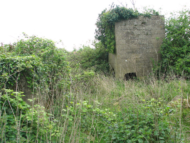
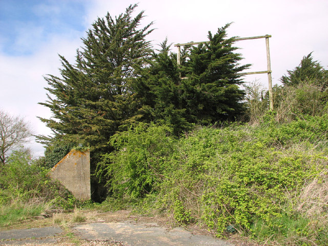
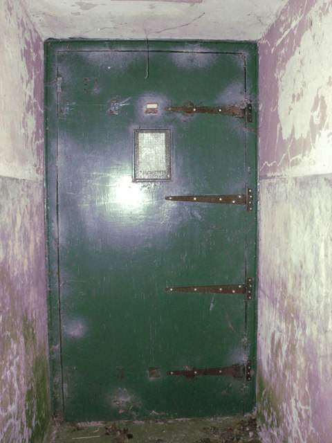
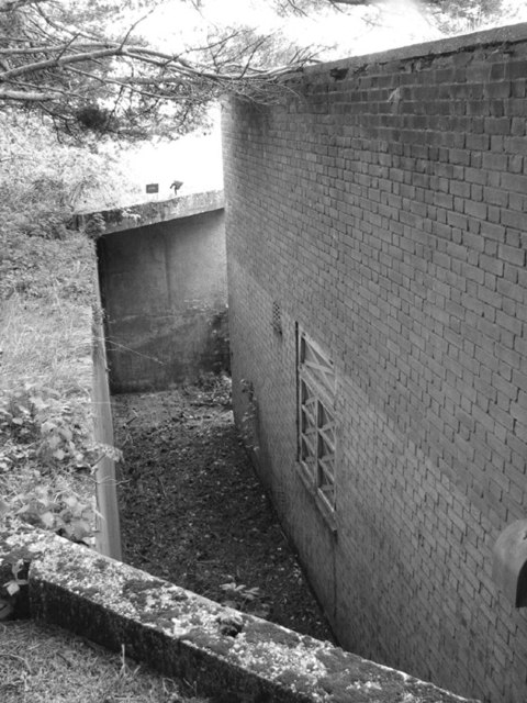
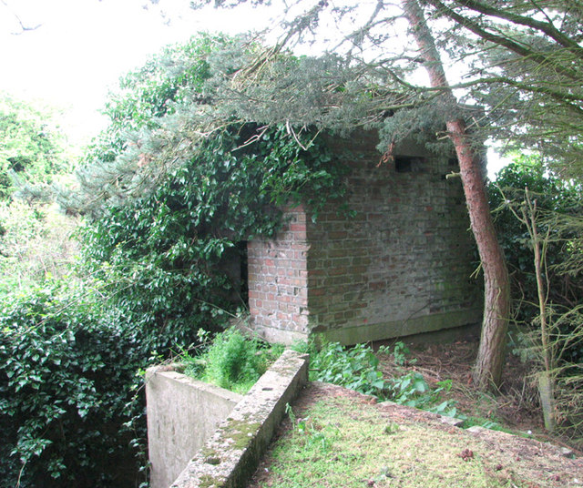
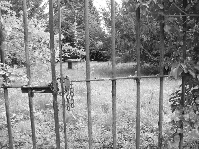
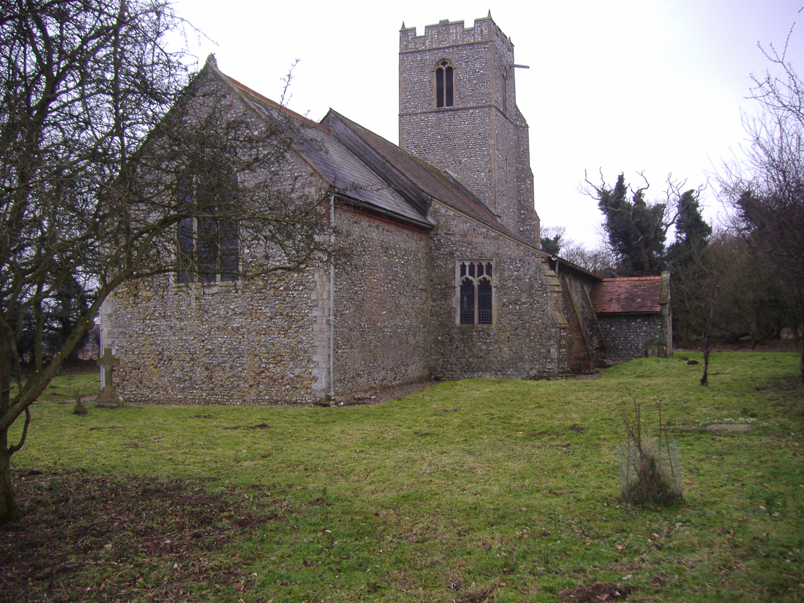
The Rough Strip Images
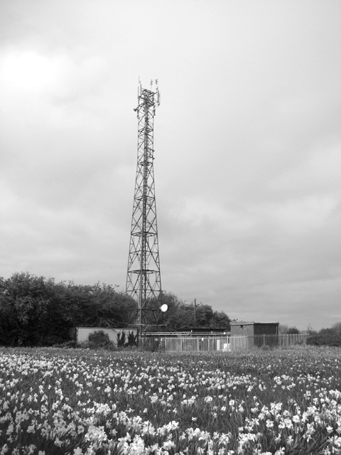
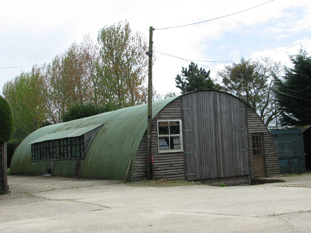
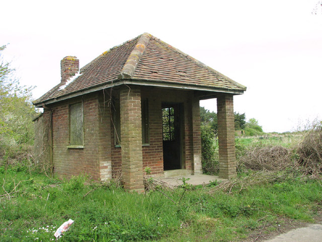
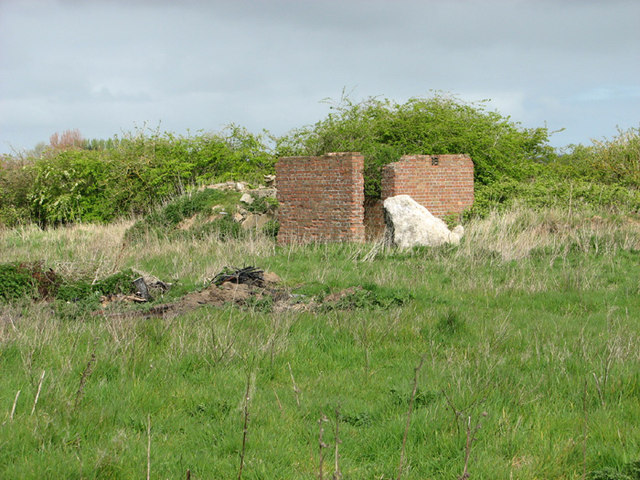
Images are sourced within 2km of 52.907752/1.1994532 or Grid Reference TG1539. Thanks to Geograph Open Source API. All images are credited.
The Rough Strip is located at Grid Ref: TG1539 (Lat: 52.907752, Lng: 1.1994532)
Administrative County: Norfolk
District: North Norfolk
Police Authority: Norfolk
What 3 Words
///curly.processes.formed. Near Sheringham, Norfolk
Nearby Locations
Related Wikis

East Beckham
East Beckham is a village and a civil parish in the English county of Norfolk. The village is 23.4 miles (37.7 km) north of Norwich, 5 miles (8 km) south...

RAF West Beckham
Royal Air Force Station West Beckham, commonly known as RAF West Beckham, is a former Chain Home radar station controlled by the Royal Air Force (RAF)...

Gresham, Norfolk
Gresham is a village and civil parish in North Norfolk, England, five miles (8 km) south-west of Cromer. A predominantly rural parish, Gresham centres...

Gresham Castle
Gresham Castle is located south of the village of Gresham in the north of the English county of Norfolk. The medieval castle was actually a fortified manor...

West Beckham
West Beckham is a village and a civil parish in the English county of Norfolk The village is 6.1 miles (9.8 km) west south west of Cromer, 25.3 miles...
North Barningham
North Barningham is a hamlet within the civil parish of Gresham in the English county of Norfolk. The hamlet is 7 miles (11 km) south-west of Cromer, 23...
Wood-Dene School
Wood-Dene School was a private school for the creative arts in the English county of Norfolk in Great Britain, closing during March 2010. The school was...

Bodham
Bodham is a civil parish in the English county of Norfolk. The village is 27.2 miles north north west of Norwich, 6.4 miles west of Cromer and 131 miles...
Have you been to The Rough Strip?
Leave your review of The Rough Strip below (or comments, questions and feedback).