Oak Plantation

Wood, Forest in Suffolk Mid Suffolk

England

Oak Plantation

A140 north approaching junction for B1077 to Stuston
A140 north approaching junction for B1077 to Stuston Credit: Roy Hughes

Oak Plantation, Suffolk, is a sprawling woodland expanse situated in the eastern region of England. Covering an area of approximately 500 acres, this ancient forest is a remarkable example of the region's natural beauty and biodiversity. The plantation is primarily composed of majestic oak trees, which dominate the landscape with their towering presence and dense foliage.

The woodland boasts a rich history, dating back several centuries. It is believed that the oaks were originally planted during the reign of King James I, with the purpose of providing timber for the Royal Navy. Today, these magnificent trees stand as a testament to the area's past and are protected by conservation efforts.

The dense canopy of Oak Plantation provides a sanctuary for a wide variety of wildlife. Birds such as woodpeckers, owls, and songbirds can often be heard echoing through the forest, while small mammals like foxes, deer, and squirrels can be observed darting among the undergrowth. The forest floor is adorned with an assortment of wildflowers, creating a vibrant and colorful display during the spring and summer months.

Visitors to Oak Plantation can explore the numerous walking trails that wind their way through the woodland, offering a tranquil and immersive experience. The forest is also a popular spot for nature enthusiasts, photographers, and artists seeking inspiration from its serene surroundings.

Overall, Oak Plantation in Suffolk stands as a testament to the region's natural heritage, offering visitors a chance to connect with nature and appreciate the beauty of the ancient oak trees that have stood the test of time.

If you have any feedback on the listing, please let us know in the comments section below.

Oak Plantation Images

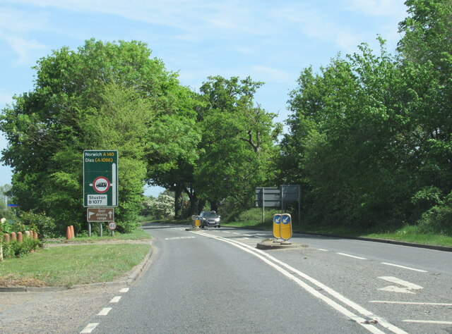
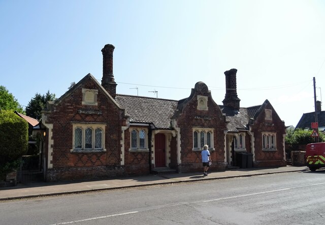
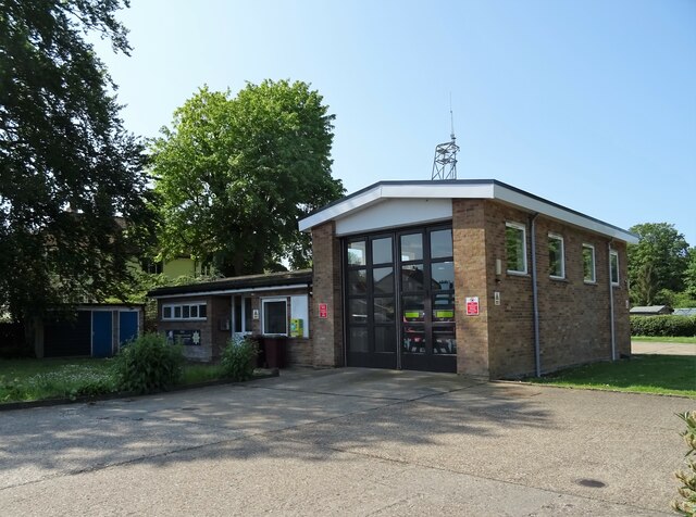
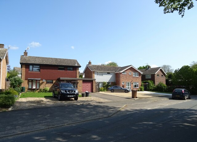
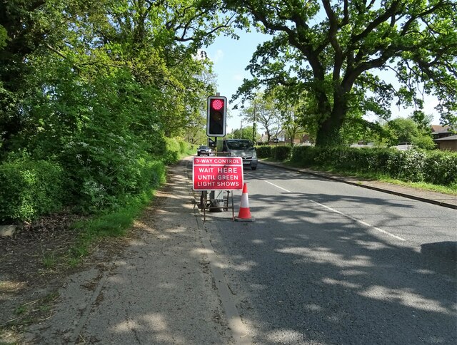
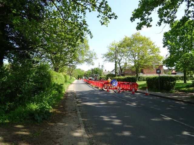
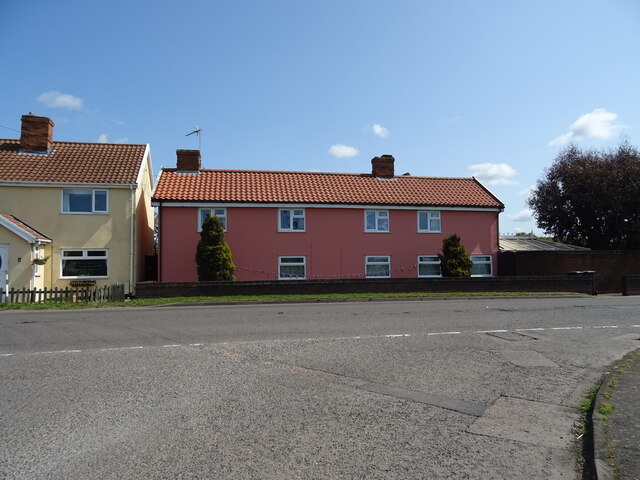
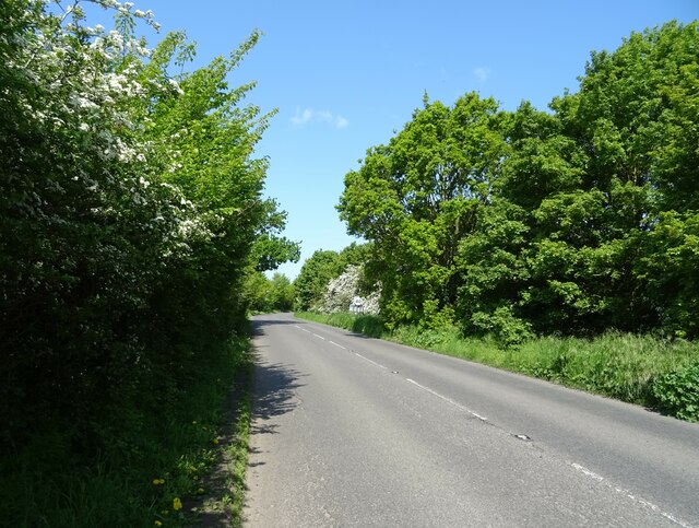
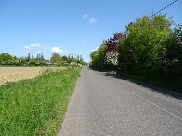
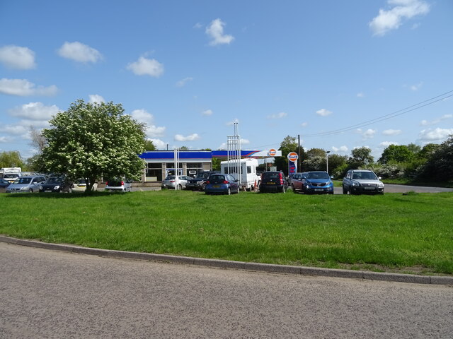
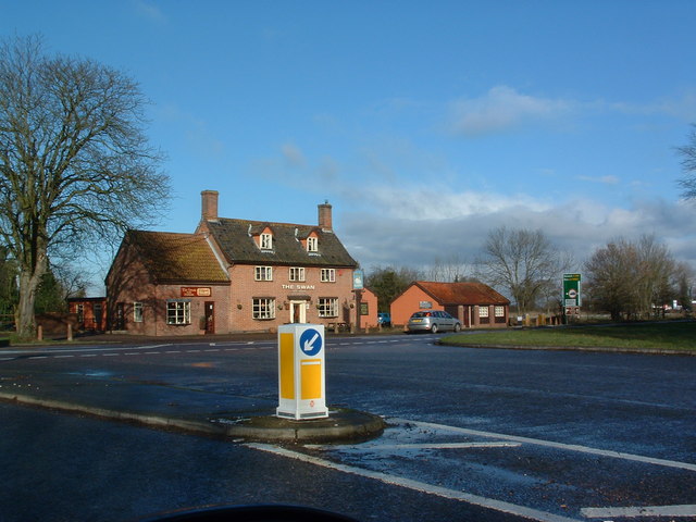
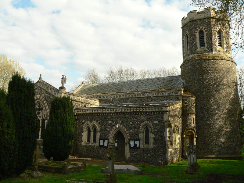
Images are sourced within 2km of 52.338212/1.1578742 or Grid Reference TM1575. Thanks to Geograph Open Source API. All images are credited.

A140 north approaching junction for B1077 to Stuston
A140 north approaching Gulf petrol station at junction with B1077
Bedingfield Almshouses, Eye
Fire Station, Eye
Fire Station, Eye
Houses on Castleton Way
Castleton Way, Eye
Castleton Way, Eye
Roadworks on Victoria Hill
Roadworks on Victoria Hill (B1077)
Houses on the B1077, Langton Green
Elizabeth II postbox on Castleton Way, Eye Postbox No. IP23 8232.
See <a href="https://www.geograph.org.uk/photo/7505872">TM1474 : Bus stop and shelter on Castleton Way, Eye</a> for context.
Elizabeth II postbox on Castleton Way, Eye
Postbox No. IP23 8232. See TM1474 : Bus stop and shelter on Castleton Way, Eye for context.
Langton Green (B1077)
B1077 towards Brome
B1077 towards Brome
Caravans near Chestnut Farm
Eye Road, Brome
Eye Road, Brome
Field off Eye Road, Brome Towards the A140.
Field off Eye Road, Brome
Towards the A140.
Service station, The Devil's Handbasin On the A140.
Service station, The Devil's Handbasin
On the A140.
Linden House, Eye <span class="nowrap"><a title="https://historicengland.org.uk/listing/the-list/list-entry/1334408?section=official-list-entry" rel="nofollow ugc noopener" href="https://historicengland.org.uk/listing/the-list/list-entry/1334408?section=official-list-entry">Link</a><img style="margin-left:2px;" alt="External link" title="External link - shift click to open in new window" src="https://s1.geograph.org.uk/img/external.png" width="10" height="10"/></span>
Linden House, Eye
9, 11, 13 and 15 Lambseth Street, Eye <span class="nowrap"><a title="https://historicengland.org.uk/listing/the-list/list-entry/1316557?section=official-list-entry" rel="nofollow ugc noopener" href="https://historicengland.org.uk/listing/the-list/list-entry/1316557?section=official-list-entry">Link</a><img style="margin-left:2px;" alt="External link" title="External link - shift click to open in new window" src="https://s1.geograph.org.uk/img/external.png" width="10" height="10"/></span> and <span class="nowrap"><a title="https://historicengland.org.uk/listing/the-list/list-entry/1316560?section=official-list-entry" rel="nofollow ugc noopener" href="https://historicengland.org.uk/listing/the-list/list-entry/1316560?section=official-list-entry">Link</a><img style="margin-left:2px;" alt="External link" title="External link - shift click to open in new window" src="https://s1.geograph.org.uk/img/external.png" width="10" height="10"/></span> and <span class="nowrap"><a title="https://historicengland.org.uk/listing/the-list/list-entry/1316562?section=official-list-entry" rel="nofollow ugc noopener" href="https://historicengland.org.uk/listing/the-list/list-entry/1316562?section=official-list-entry">Link</a><img style="margin-left:2px;" alt="External link" title="External link - shift click to open in new window" src="https://s1.geograph.org.uk/img/external.png" width="10" height="10"/></span>
9, 11, 13 and 15 Lambseth Street, Eye
LinkExternal link and LinkExternal link and LinkExternal link
Show me another place!

Oak Plantation is located at Grid Ref: TM1575 (Lat: 52.338212, Lng: 1.1578742)

Administrative County: Suffolk

District: Mid Suffolk

Police Authority: Suffolk

What 3 Words

///hunter.recorders.savers. Near Scole, Norfolk

Related Wikis

Brome and Oakley

Brome and Oakley is a civil parish in the Mid Suffolk district of the English county of Suffolk. The parish is in the north of the county, immediately...

Eye Priory

Eye Priory was a Benedictine Priory dedicated to St Peter in the town of Eye in the English county of Suffolk. It was founded by Robert Malet c. 1080 and...

Brome, Suffolk

Brome is a village and former civil parish in the Mid Suffolk district, in the north of the English county of Suffolk. It lies on the A140 Norwich to Ipswich...

RAF Eye

Royal Air Force Eye or more simply RAF Eye is a former Royal Air Force station located 11 miles (18 km) northeast of Stowmarket, Suffolk, England on the...

Nearby Amenities

Located within 500m of 52.338212,1.1578742
Power: pole
Lat/Long: 52.336362/1.1540889
Power: pole
Lat/Long: 52.3361074/1.1525088
Power: pole
Lat/Long: 52.3366182/1.1549326
Brome Park Farm
Place: farm
Lat/Long: 52.3373049/1.1549306
The data included in this document is from www.openstreetmap.org. The data is made available under ODbL.

Have you been to Oak Plantation?

Leave your review of Oak Plantation below (or comments, questions and feedback).