The Langton Wood

Wood, Forest in Kent Canterbury

England

The Langton Wood

Canterbury Cathedral The cathedral entrance, right in the city centre taken from the southwest. The cathedral's central 'Bell Harry Tower' (250' high) is on the right, dating from c.1500AD.
Canterbury Cathedral Credit: Pam Brophy

The Langton Wood, located in Kent, England, is a picturesque woodland area known for its natural beauty and tranquil atmosphere. Spanning over a vast expanse of approximately 200 acres, this forest is a haven for nature enthusiasts and those seeking solitude amidst the lush greenery.

The woodland is primarily composed of a mix of deciduous and coniferous trees, including oak, beech, and pine. These trees create a dense canopy that filters sunlight, casting enchanting shadows on the forest floor. The undergrowth is teeming with a variety of plant species, such as bluebells, wild garlic, and ferns, adding to the wood's enchanting ambiance.

The Langton Wood is home to a diverse array of wildlife. Visitors may spot woodland creatures like deer, foxes, and rabbits, as well as an abundance of bird species, including woodpeckers, owls, and songbirds. The forest is a sanctuary for these creatures, providing a habitat where they can thrive undisturbed.

The wood offers several walking trails that wind through its serene surroundings, allowing visitors to explore its natural wonders at their own pace. These trails are well-maintained and provide stunning views of the wood from different vantage points. The Langton Wood is a popular destination for hikers, joggers, and dog walkers, who can enjoy the tranquility and fresh air while immersing themselves in nature.

Overall, The Langton Wood in Kent is a captivating forest that offers an escape from the hustle and bustle of everyday life. With its diverse flora and fauna, well-kept trails, and peaceful ambiance, it is a haven for nature lovers and an ideal destination for anyone seeking a peaceful retreat in the heart of nature.

If you have any feedback on the listing, please let us know in the comments section below.

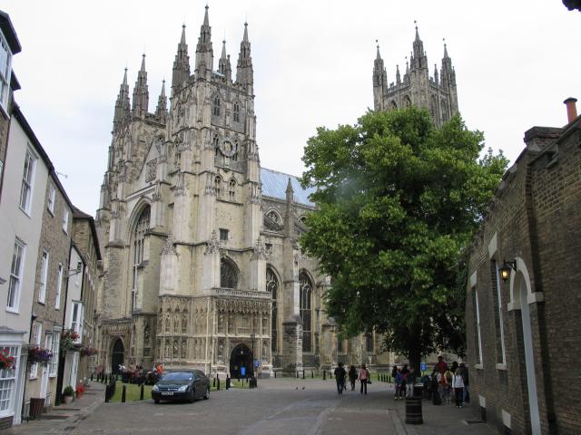
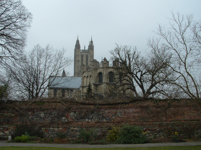
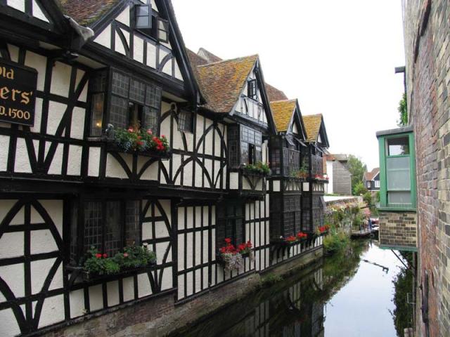
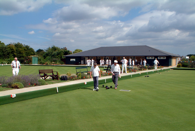
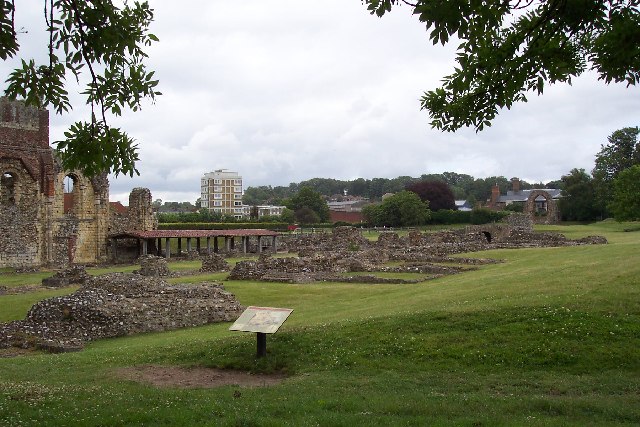
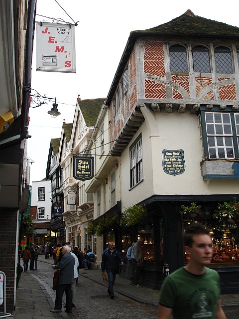
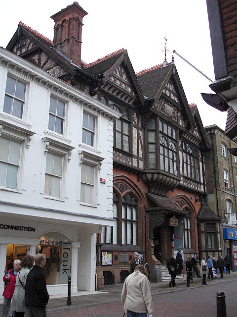
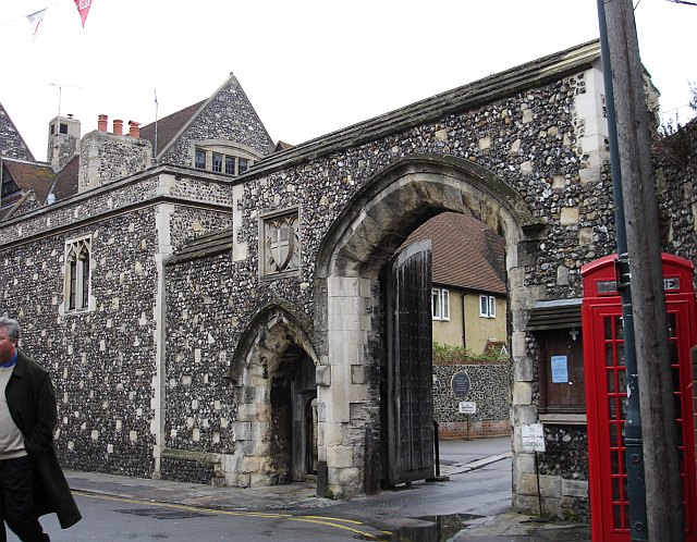
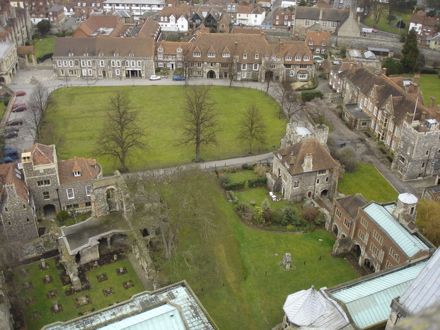
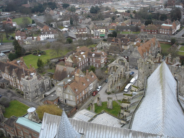
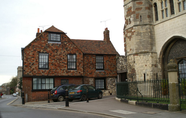
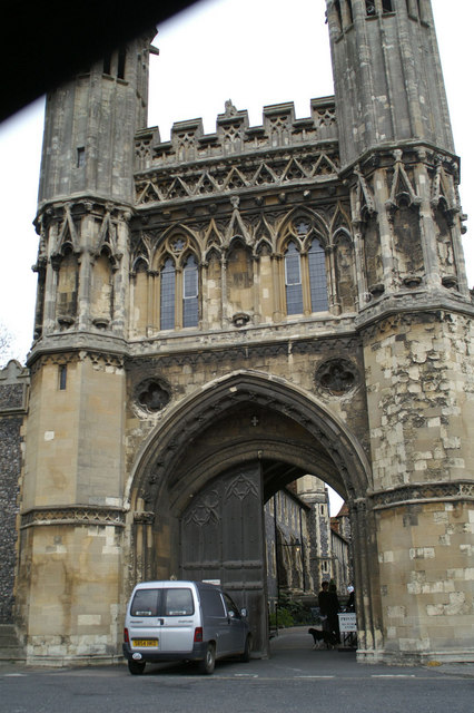
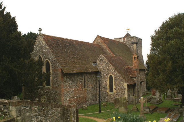
The Langton Wood Images

Images are sourced within 2km of 51.262647/1.0834069 or Grid Reference TR1556. Thanks to Geograph Open Source API. All images are credited.

Canterbury Cathedral The cathedral entrance, right in the city centre taken from the southwest. The cathedral's central 'Bell Harry Tower' (250' high) is on the right, dating from c.1500AD.
Canterbury Cathedral
The cathedral entrance, right in the city centre taken from the southwest. The cathedral's central 'Bell Harry Tower' (250' high) is on the right, dating from c.1500AD.
Approach to Canterbury Cathedral 11.00 am, Palm Sunday 2005. Photograph taken from gardens just inside city walls.
Approach to Canterbury Cathedral
11.00 am, Palm Sunday 2005. Photograph taken from gardens just inside city walls.
Canterbury A section of one of the channels of the Great Stour that flows through the centre of the town next to this 1500 building, now an Italian Restaurant. This scene is situated more or less in the centre of the square. This was taken looking more or less north east.
Canterbury
A section of one of the channels of the Great Stour that flows through the centre of the town next to this 1500 building, now an Italian Restaurant. This scene is situated more or less in the centre of the square. This was taken looking more or less north east.
Canterbury Bowling Club The club was founded in the reign of Queen Victoria. This is the club's new site, in South Canterbury Road. It boasts two well-kept greens.
Canterbury Bowling Club
The club was founded in the reign of Queen Victoria. This is the club's new site, in South Canterbury Road. It boasts two well-kept greens.
St Augustine's Abbey, Canterbury, Kent The remains of St Augustine's Abbey in Canterbury. It was founded by St Augustine in about 598AD to mark the success of his mission to restore Christianity to England. Many of the Kings of Kent and early Archbishops of Canterbury are buried there. After the Dissolution of the Monasteries Henry VIII converted part of it to a royal palace (left end of picture). The site is now owned by English Heritage.
St Augustine's Abbey, Canterbury, Kent
The remains of St Augustine's Abbey in Canterbury. It was founded by St Augustine in about 598AD to mark the success of his mission to restore Christianity to England. Many of the Kings of Kent and early Archbishops of Canterbury are buried there. After the Dissolution of the Monasteries Henry VIII converted part of it to a royal palace (left end of picture). The site is now owned by English Heritage.
Canterbury Cathedral Sunset Sunset over Canterbury Cathedral
Canterbury Cathedral Sunset
Sunset over Canterbury Cathedral
The Sun Hotel, Sun Street, Canterbury The plaque on the wall reads "Sun Hotel formerly known as The Little Inn made famous by Chas. Dickens in his travels thro' Kent Built 1503" It has been a jeweller's shop for many years. Sun Street runs around the south east side of the Cathedral precinct from the Butter Market into Palace Street.
The Sun Hotel, Sun Street, Canterbury
The plaque on the wall reads "Sun Hotel formerly known as The Little Inn made famous by Chas. Dickens in his travels thro' Kent Built 1503" It has been a jeweller's shop for many years. Sun Street runs around the south east side of the Cathedral precinct from the Butter Market into Palace Street.
The Beaney Institute Standing in the High Street, opposite the County Hotel, this extravagantly ornate Victorian building was built at the behest of Dr Beaney, the son of a local labourer who made good, became a doctor of medicine, sailed to Australia and became very rich. The building houses the central library and the Royal museum and art gallery.
The Beaney Institute
Standing in the High Street, opposite the County Hotel, this extravagantly ornate Victorian building was built at the behest of Dr Beaney, the son of a local labourer who made good, became a doctor of medicine, sailed to Australia and became very rich. The building houses the central library and the Royal museum and art gallery.
The Mint Yard Gate, Kings School, Canterbury Housed in several buildings around the west and north of the cathedral precinct, this is the main entrance to the school, one of the oldest in the country.
The Mint Yard Gate, Kings School, Canterbury
Housed in several buildings around the west and north of the cathedral precinct, this is the main entrance to the school, one of the oldest in the country.
St Andrew's URC church, Canterbury Seen from Rose Lane looking SW. This is a recently built church and forms part of the Whitefriars redevelopment. It stands at the junction of Rose Lane and Marlowe Avenue with Watling Street.
St Andrew's URC church, Canterbury
Seen from Rose Lane looking SW. This is a recently built church and forms part of the Whitefriars redevelopment. It stands at the junction of Rose Lane and Marlowe Avenue with Watling Street.
Cathedral Gate, Canterbury
Infirmary Chapel ruins, Canterbury, Kent These ruined 12th century arches are all that's left of the Infirmary Chapel, part of the monastery that became Canterbury cathedral.
Infirmary Chapel ruins, Canterbury, Kent
These ruined 12th century arches are all that's left of the Infirmary Chapel, part of the monastery that became Canterbury cathedral.
Norman Staircase, Canterbury, Kent This staircase, built c.1153, led up to a Poor Pilgrims' Hall, where they could stay for three nights free. It is now part of the King's School, which is the oldest school in Britain.
Norman Staircase, Canterbury, Kent
This staircase, built c.1153, led up to a Poor Pilgrims' Hall, where they could stay for three nights free. It is now part of the King's School, which is the oldest school in Britain.
View from Bell Harry Tower of Canterbury Cathedral View looking to the north looking over Green Court and some of the buildings of King's School Canterbury
View from Bell Harry Tower of Canterbury Cathedral
View looking to the north looking over Green Court and some of the buildings of King's School Canterbury
View NE from Bell Harry Tower of Canterbury Cathedral The view shows The Choir House, where the choristers of the cathedral live, some boarding houses of The King's School and in the distance Christ Church University College.
View NE from Bell Harry Tower of Canterbury Cathedral
The view shows The Choir House, where the choristers of the cathedral live, some boarding houses of The King's School and in the distance Christ Church University College.
No.2 Monastery Street Former theological students' married quarters
No.2 Monastery Street
Former theological students' married quarters
The Gate House to St. Augustine's Abbey Henry VIII is reputed to have used to room above for one of his honeymoons. Once a Training College for Anglican Missionaries, it became part of King's College London's Theological College in 1970, and then became part of the King's School, Canterbury.
The Gate House to St. Augustine's Abbey
Henry VIII is reputed to have used to room above for one of his honeymoons. Once a Training College for Anglican Missionaries, it became part of King's College London's Theological College in 1970, and then became part of the King's School, Canterbury.
St.Martin's Church Reputed to be the oldest Parish Church in England. The red bricks are Roman.
St.Martin's Church
Reputed to be the oldest Parish Church in England. The red bricks are Roman.
Show me another place!

The Langton Wood is located at Grid Ref: TR1556 (Lat: 51.262647, Lng: 1.0834069)

Administrative County: Kent

District: Canterbury

Police Authority: Kent

What 3 Words

///kept.forced.edit. Near Canterbury, Kent

Nearby Locations

The Langton Wood

Related Wikis

Simon Langton Grammar School for Boys

Simon Langton Grammar School for Boys (also known as The Langton Grammar School for Boys and simply referred to as The Langton) is an 11–18 foundation...

Canterbury South railway station

Canterbury South was a station on the Elham Valley Railway. It opened in 1889 and closed to passengers in 1940 and freight in 1947. == History == The station...

Kent and Canterbury Hospital

The Kent and Canterbury Hospital, colloquially known among residents as the K+C, is a community hospital in Canterbury, Kent, England. It is managed by...
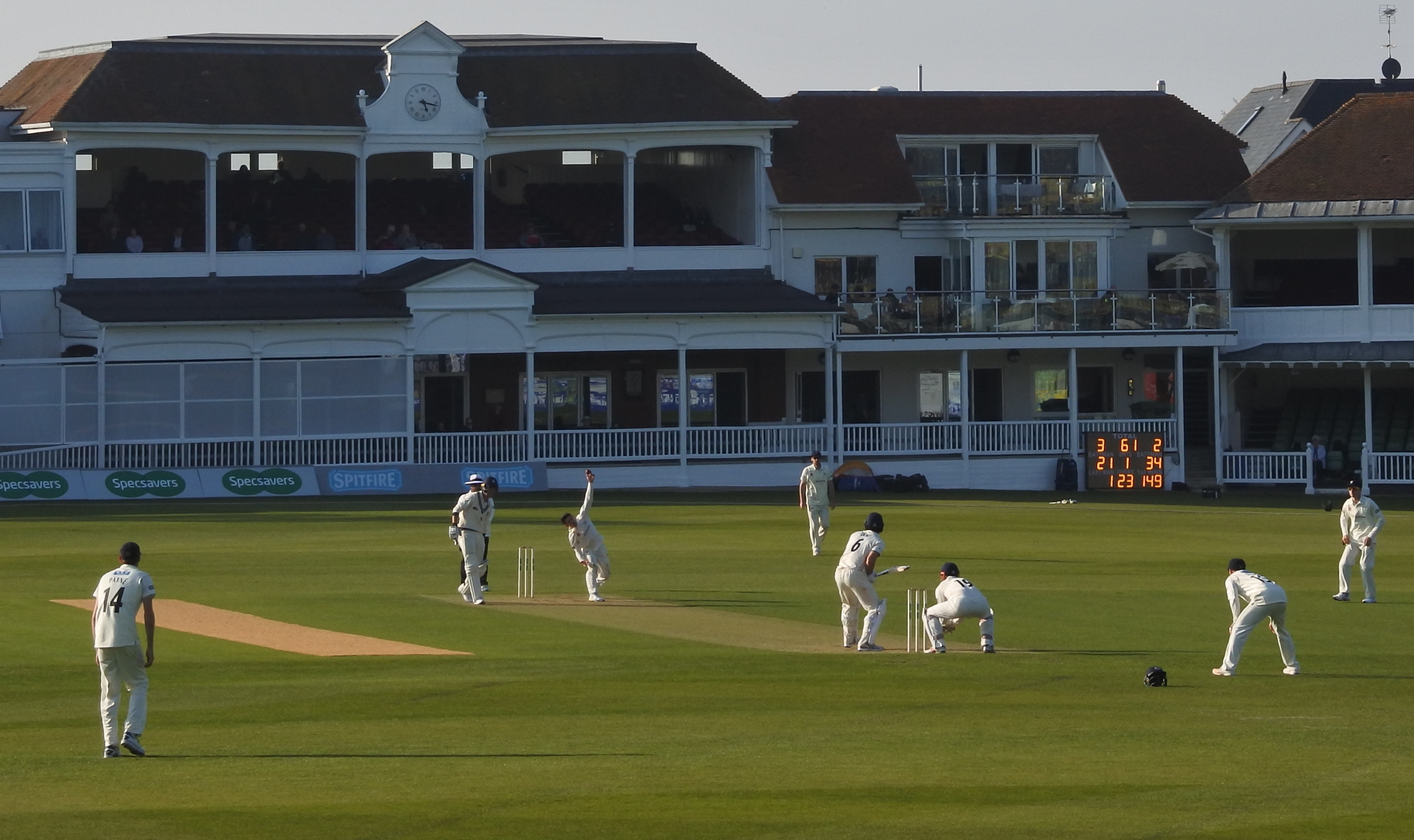
St Lawrence Ground

The St Lawrence Ground is a cricket ground in Canterbury, Kent. It is the home ground of Kent County Cricket Club and since 2013 has been known as The...

Canterbury Cricket Week

Canterbury Cricket Week is the oldest cricket festival week in England and involves a series of consecutive Kent home matches, traditionally held in the...

St Lawrence Lime

The St Lawrence Lime Tree was a 27-metre-high lime tree (90 ft) at the St Lawrence Ground in Canterbury, Kent, England. It was located within the boundary...

Simon Langton Girls' Grammar School

Simon Langton Girls’ Grammar School is a single-sex voluntary controlled grammar school in Canterbury, Kent, England. The school originated in the Middle...

The Worthgate School

The Worthgate School (formerly CATS College Canterbury, Stafford House College) is a coeducational Private day and boarding school located in Canterbury...

Nearby Amenities

Located within 500m of 51.262647,1.0834069
Traffic Calming: hump
Lat/Long: 51.2610104/1.0863944
Traffic Calming: hump
Lat/Long: 51.2608642/1.0876117
Bus Stop
Ridlands
Naptan AtcoCode: 2400A049670A
Naptan Bearing: NW
Naptan CommonName: Ridlands
Naptan Indicator: adj
Naptan Landmark: Ridlands
Naptan NaptanCode: kntgapdg
Naptan PlusbusZoneRef: CNTBE
Naptan Street: South Canterbury Rd
Naptan Verified: no
Ref: KNTGAPDG
Source: naptan_import
Lat/Long: 51.2669685/1.0850888
Bus Stop
Outpatients Department
Local Ref: opp
Naptan AtcoCode: 240075619
Naptan Bearing: NE
Naptan BusStopType: MKD
Naptan CommonName: Outpatients Department
Naptan Indicator: opp
Naptan Landmark: Outpatients Department
Naptan NaptanCode: kntadjaj
Naptan PlusbusZoneRef: CNTBE
Naptan RevisionNumber: 6
Naptan ShortCommonName: Outpatients Dept
Naptan Status: act
Naptan Street: Kent and Canterbury Hospital grounds
Naptan Verified: no
Public Transport: platform
Ref: kntadjaj
Shelter: yes
Short Name: Outpatients Dept
Source: naptan_import
Source Date: 2018-10-11
Lat/Long: 51.2655471/1.0850349
Bus Stop
Simon Langton Boys' School Grounds
Flag: no
Local Ref: AT
Naptan AtcoCode: 240096689
Naptan Bearing: E
Naptan BusStopType: CUS
Naptan CommonName: Simon Langton Boys' School Grounds
Naptan Indicator: at
Naptan NaptanCode: kntgmdag
Naptan PlusbusZoneRef: CNTBE
Naptan Street: Grounds
Naptan Verified: no
Public Transport: platform
Source: naptan_import
Lat/Long: 51.2611711/1.0840045
Hospital
Disused Highway: bus_stop
Disused Public Transport: platform
Local Ref: o/s
Naptan AtcoCode: 2400A039590A
Naptan Bearing: SE
Naptan BusStopType: MKD
Naptan CommonName: Hospital
Naptan Indicator: o/s
Naptan Landmark: Hospital
Naptan NaptanCode: kntdpmpm
Naptan PlusbusZoneRef: CNTBE
Naptan RevisionNumber: 7
Naptan Status: del
Naptan Street: Kent and Canterbury Hospital Grounds
Naptan Verified: no
Ref: kntdpmpm
Source: naptan_import
Source Date: 2013-10-24
Lat/Long: 51.2665641/1.0860349
Bus Stop
Simon Langton Boys' School
Bench: no
Flag: no
Naptan AtcoCode: 2400A073410A
Naptan Bearing: N
Naptan BusStopType: CUS
Naptan CommonName: Simon Langton Boys' School
Naptan Indicator: o/s
Naptan Landmark: Simon Langton Boys' School
Naptan NaptanCode: kntgjata
Naptan Street: Nackington Road
Naptan Verified: no
Public Transport: platform
Shelter: no
Source: naptan_import
Lat/Long: 51.2607497/1.0877037
Crossing
Crossing: uncontrolled
Crossing Ref: zebra
Lat/Long: 51.2664904/1.0862741
Bicycle Parking
Bicycle Parking: stands
Capacity: 16
Covered: no
Cyclestreets Id: 29391
Lat/Long: 51.2664965/1.0868173
Bicycle Parking
Bicycle Parking: stands
Capacity: 4
Covered: no
Cyclestreets Id: 29390
Lat/Long: 51.2664538/1.0867548
Aeroway: helipad
Lat/Long: 51.2651593/1.0840837
Traffic Calming: hump
Lat/Long: 51.2609202/1.0871281
Traffic Calming: hump
Lat/Long: 51.2610523/1.0860941
Entrance: main
Lat/Long: 51.2604562/1.0854369
Communication Mobile Phone: yes
Man Made: mast
Operator: O2
Lat/Long: 51.2657422/1.0829771
Generator Method: photovoltaic
Generator Orientation: 206
Generator Solar Modules: 30
Generator Source: solar
Generator Type: solar_photovoltaic_panel
Location: roof
Power: generator
Lat/Long: 51.2634153/1.0874775
Generator Method: photovoltaic
Generator Orientation: 251
Generator Solar Modules: 12
Generator Source: solar
Generator Type: solar_photovoltaic_panel
Location: roof
Power: generator
Lat/Long: 51.2635521/1.0864596
Generator Method: photovoltaic
Generator Orientation: 209
Generator Solar Modules: 6
Generator Source: solar
Generator Type: solar_photovoltaic_panel
Location: roof
Power: generator
Lat/Long: 51.2640959/1.0868955
Generator Method: photovoltaic
Generator Orientation: 133
Generator Source: solar
Generator Type: solar_photovoltaic_panel
Location: roof
Power: generator
Lat/Long: 51.264429/1.0878798
Generator Method: photovoltaic
Generator Orientation: 192
Generator Source: solar
Generator Type: solar_photovoltaic_panel
Location: roof
Power: generator
Lat/Long: 51.2607869/1.0859996
Generator Method: photovoltaic
Generator Orientation: 104
Generator Source: solar
Generator Type: solar_photovoltaic_panel
Location: roof
Power: generator
Lat/Long: 51.2588986/1.0855865
Generator Method: photovoltaic
Generator Orientation: 102
Generator Source: solar
Generator Type: solar_photovoltaic_panel
Location: roof
Power: generator
Lat/Long: 51.2607878/1.0861123
Generator Output Electricity: yes
Generator Solar Modules: 8
Generator Source: solar
Generator Type: solar_photovoltaic_panel
Location: roof
Power: generator
Lat/Long: 51.263464/1.087444
Generator Output Electricity: yes
Generator Solar Modules: 9
Generator Source: solar
Generator Type: solar_photovoltaic_panel
Location: roof
Power: generator
Lat/Long: 51.2641496/1.0869022
Generator Output Electricity: yes
Generator Source: solar
Generator Type: solar_photovoltaic_panel
Location: roof
Power: generator
Lat/Long: 51.2645172/1.0872991
Generator Output Electricity: yes
Generator Source: solar
Generator Type: solar_photovoltaic_panel
Location: roof
Power: generator
Lat/Long: 51.264544/1.0873702
Generator Output Electricity: yes
Generator Solar Modules: 9
Generator Source: solar
Generator Type: solar_photovoltaic_panel
Location: roof
Power: generator
Lat/Long: 51.265254/1.0887978
Generator Output Electricity: yes
Generator Solar Modules: 3
Generator Source: solar
Generator Type: solar_photovoltaic_panel
Location: roof
Power: generator
Lat/Long: 51.2652548/1.0888642
Generator Method: photovoltaic
Generator Output Electricity: yes
Generator Source: solar
Generator Type: solar_photovoltaic_panel
Location: roof
Power: generator
Lat/Long: 51.2669213/1.0830089
Generator Method: photovoltaic
Generator Output Electricity: yes
Generator Source: solar
Generator Type: solar_photovoltaic_panel
Location: roof
Power: generator
Lat/Long: 51.2669129/1.0830545
Generator Method: photovoltaic
Generator Output Electricity: yes
Generator Source: solar
Generator Type: solar_photovoltaic_panel
Location: roof
Power: generator
Lat/Long: 51.2667988/1.082966
Bicycle Parking
Bicycle Parking: stands
Capacity: 10
Colour: silver
Covered: yes
Cyclestreets Id: 201809
Lit: yes
Material: metal
Lat/Long: 51.2666008/1.0856321
Covered: no
Leisure: picnic_table
Lat/Long: 51.2664715/1.0859272
Crossing
Crossing Ref: zebra
Foot: yes
Lat/Long: 51.2666313/1.0858132
Crossing
Crossing Ref: zebra
Foot: yes
Lat/Long: 51.266448/1.0864337
Bicycle Parking
Bicycle Parking: stands
Capacity: 8
Colour: black
Covered: no
Cyclestreets Id: 201810
Material: metal
Lat/Long: 51.2654872/1.0853532
Outpatients
Entrance: yes
Lat/Long: 51.2654649/1.0852897
Bicycle Parking
Bicycle Parking: stands
Capacity: 10
Colour: black
Covered: no
Cyclestreets Id: 201811
Material: metal
Lat/Long: 51.2654033/1.0852499
The data included in this document is from www.openstreetmap.org. The data is made available under ODbL.

Have you been to The Langton Wood?

Leave your review of The Langton Wood below (or comments, questions and feedback).