Round Wood

Wood, Forest in Norfolk Broadland

England

Round Wood

Old Milepost by the A1067, Fakenham Road, Taverham Cast iron post by the A1067, in parish of Taverham (Broadland District), Fakenham Road, opposite No. 230, on the verge at rear of footpath against hedge, on West side of road. Fakenham ci n-top, erected by the Norwich & Fakenham turnpike trust in the 19th century. 

Inscription reads:-
: FAKENHAM / 19 : : TO NORWICH / 5 / MILES : : TAVERHAM / 5 :

Norfolk HER.
NHER Number: 56411 <span class="nowrap"><a title="https://www.heritagegateway.org.uk/Gateway/Results_Single.aspx?uid=MNF62817&resourceID=1002" rel="nofollow ugc noopener" href="https://www.heritagegateway.org.uk/Gateway/Results_Single.aspx?uid=MNF62817&resourceID=1002">Link</a><img style="margin-left:2px;" alt="External link" title="External link - shift click to open in new window" src="https://s1.geograph.org.uk/img/external.png" width="10" height="10"/></span>

Milestone Society National ID: NO_NF05
Old Milepost by the A1067, Fakenham Road, Taverham Credit: Alan Lake

Round Wood is a picturesque woodland located in the county of Norfolk, England. It is a part of the larger forest area known as Thetford Forest, which covers approximately 19,000 hectares. Round Wood is situated near the village of Santon Downham, within the Breckland region.

The wood is characterized by its diverse range of tree species, including oak, birch, pine, and beech. These trees create a dense canopy that provides shelter and habitat for a variety of wildlife. Visitors to Round Wood can expect to encounter numerous bird species, such as woodpeckers, tawny owls, and buzzards, as well as small mammals like squirrels, rabbits, and deer.

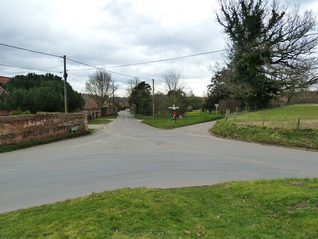
The wood is intersected by several well-maintained footpaths and trails, allowing visitors to explore its natural beauty at their own pace. These paths offer breathtaking views of the surrounding countryside and are a popular choice for walkers, joggers, and nature enthusiasts alike.

Round Wood also provides recreational activities for visitors, with designated areas for picnicking and barbecuing. There is even a children's play area, making it an ideal destination for families.

The proximity of Round Wood to the village of Santon Downham means that amenities such as parking, toilets, and refreshments are easily accessible. Additionally, the wood is close to the River Little Ouse, offering opportunities for fishing and boating.

In conclusion, Round Wood in Norfolk is a splendid woodland that offers a tranquil escape into nature. Its diverse flora and fauna, coupled with its well-maintained trails and recreational facilities, make it a delightful destination for individuals and families seeking a peaceful outdoor experience.

If you have any feedback on the listing, please let us know in the comments section below.

Round Wood Images

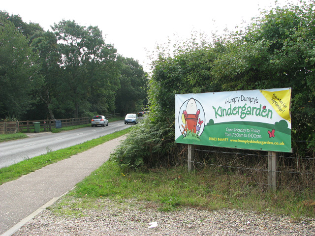
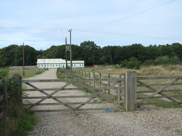
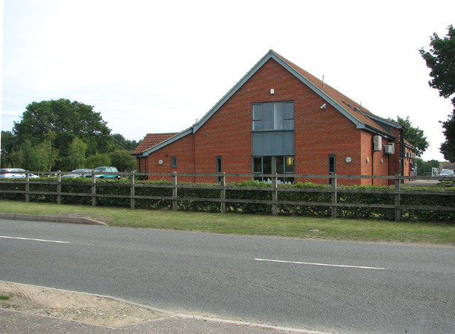
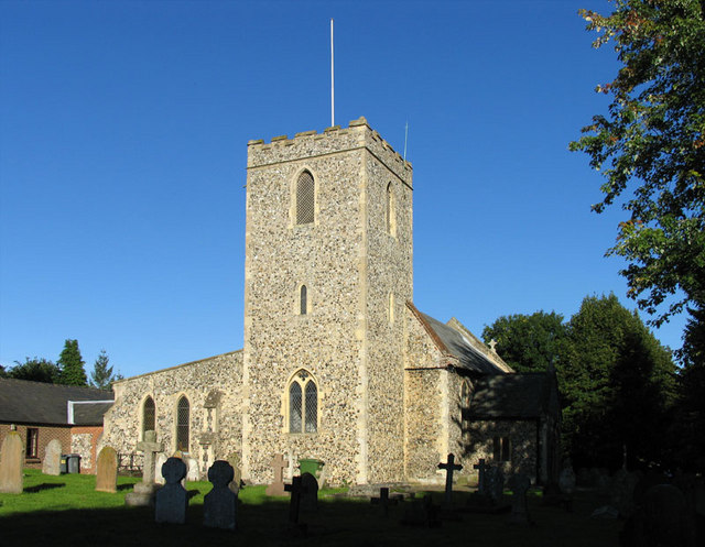
Images are sourced within 2km of 52.683449/1.1795143 or Grid Reference TG1514. Thanks to Geograph Open Source API. All images are credited.

Old Milepost by the A1067, Fakenham Road, Taverham Cast iron post by the A1067, in parish of Taverham (Broadland District), Fakenham Road, opposite No. 230, on the verge at rear of footpath against hedge, on West side of road. Fakenham ci n-top, erected by the Norwich & Fakenham turnpike trust in the 19th century. 

Inscription reads:-
: FAKENHAM / 19 : : TO NORWICH / 5 / MILES : : TAVERHAM / 5 :

Norfolk HER.
NHER Number: 56411 <span class="nowrap"><a title="https://www.heritagegateway.org.uk/Gateway/Results_Single.aspx?uid=MNF62817&resourceID=1002" rel="nofollow ugc noopener" href="https://www.heritagegateway.org.uk/Gateway/Results_Single.aspx?uid=MNF62817&resourceID=1002">Link</a><img style="margin-left:2px;" alt="External link" title="External link - shift click to open in new window" src="https://s1.geograph.org.uk/img/external.png" width="10" height="10"/></span>

Milestone Society National ID: NO_NF05
Old Milepost by the A1067, Fakenham Road, Taverham
Cast iron post by the A1067, in parish of Taverham (Broadland District), Fakenham Road, opposite No. 230, on the verge at rear of footpath against hedge, on West side of road. Fakenham ci n-top, erected by the Norwich & Fakenham turnpike trust in the 19th century. Inscription reads:- : FAKENHAM / 19 : : TO NORWICH / 5 / MILES : : TAVERHAM / 5 : Norfolk HER. NHER Number: 56411 LinkExternal link Milestone Society National ID: NO_NF05
Road junction in Ringland
The Swan Inn Public House Off Costessey Road at the junction of Ringland Road & The Street at Ringland
The Swan Inn Public House
Off Costessey Road at the junction of Ringland Road & The Street at Ringland
The Swan Inn Public House Off Costessey Road at the junction of Ringland Road & The Street at Ringland
The Swan Inn Public House
Off Costessey Road at the junction of Ringland Road & The Street at Ringland
The Swan Inn Public House sign Off Costessey Road
The Swan Inn Public House sign
Off Costessey Road
A1067 Fakenham Road At the junction with Beech Avenue
A1067 Fakenham Road
At the junction with Beech Avenue
Silver Fox, Taverham
Fir Covert Road, Taverham
View towards Humpty Dumpty's kindergarden, Taverham
Taverham veterinary clinic
Ringland Road, Ringland Hills At the junction with Costessey Lane
Ringland Road, Ringland Hills
At the junction with Costessey Lane
Costessey Lane, Ringland Hills At the junction with Ringland Road
Road no.C171
Costessey Lane, Ringland Hills
At the junction with Ringland Road Road no.C171
Costessey Lane At the junction with Field Road
Road no.C171
Costessey Lane
At the junction with Field Road Road no.C171
Field Road At the junction with Costessey Lane.
Field Road
At the junction with Costessey Lane.
Bridge on Ringland Road Over the River Wensum
Road No.C172
Bridge on Ringland Road
Over the River Wensum Road No.C172
Ringland Road & West Lodge At the entrance to Taverham Hall School & Taverham Hall Farm
<span class="nowrap"><a title="www.taverhamhall.co.uk" rel="nofollow ugc noopener" href="http://www.taverhamhall.co.uk">Link</a><img style="margin-left:2px;" alt="External link" title="External link - shift click to open in new window" src="https://s1.geograph.org.uk/img/external.png" width="10" height="10"/></span>
Ringland Road & West Lodge
At the entrance to Taverham Hall School & Taverham Hall Farm LinkExternal link
Entrance to Taverham Hall School Off Ringland Road near West Lodge
<span class="nowrap"><a title="www.taverhamhall.co.uk" rel="nofollow ugc noopener" href="http://www.taverhamhall.co.uk">Link</a><img style="margin-left:2px;" alt="External link" title="External link - shift click to open in new window" src="https://s1.geograph.org.uk/img/external.png" width="10" height="10"/></span>
Entrance to Taverham Hall School
Off Ringland Road near West Lodge LinkExternal link
Taverham Hall School signs Off Ringland Road near West Lodge at the entrance to Taverham Hall School
<span class="nowrap"><a title="www.taverhamhall.co.uk" rel="nofollow ugc noopener" href="http://www.taverhamhall.co.uk">Link</a><img style="margin-left:2px;" alt="External link" title="External link - shift click to open in new window" src="https://s1.geograph.org.uk/img/external.png" width="10" height="10"/></span>
Taverham Hall School signs
Off Ringland Road near West Lodge at the entrance to Taverham Hall School LinkExternal link
Show me another place!

Round Wood is located at Grid Ref: TG1514 (Lat: 52.683449, Lng: 1.1795143)

Administrative County: Norfolk

District: Broadland

Police Authority: Norfolk

What 3 Words

///youths.imprints.stated. Near Costessey, Norfolk

Related Wikis

Taverham Hall School

Taverham Hall School was a private co-educational day and boarding preparatory school. Situated in Taverham, Norfolk, it was founded in 1920. The school...

Taverham High School

Taverham High School is a secondary school and sixth form with academy status, located in Taverham in the English county of Norfolk. As well as serving...

Ringland, Norfolk

Ringland is a village and civil parish in Norfolk, England, and in the valley of the River Wensum, approximately 7 miles (11 km) north-west of Norwich...

Taverham

Taverham is a village and civil parish in Norfolk, in England. It is approximately 5 miles (8 km) north-west of Norwich. Taverham sits on the River Wensum...

Thorpe Marriott

Thorpe Marriott is a residential area in Norfolk, England covering part of Taverham and Drayton parishes. Much of the housing was built in the latter part...

1966 Felthorpe Trident crash

On 3 June 1966, a newly built Hawker Siddeley Trident jetliner crashed during a pre-delivery test flight near the village of Felthorpe, Norfolk, England...

Drayton railway station

Drayton railway station is a former station in Norfolk, England. Constructed by the Midland and Great Northern Joint Railway in the 1880s, on the line...

Drayton, Norfolk

Drayton, Norfolk, is a suburban village in the English county of Norfolk. The village is located in the district of Broadland, 4.3 miles (6.9 km) north...

Nearby Amenities

Located within 500m of 52.683449,1.1795143
Give Way
Lat/Long: 52.6835127/1.1844648
Location: overground
Power: transformer
Transformer: distribution
Voltage Primary: 11000
Lat/Long: 52.6851503/1.1837706
Traffic Calming: hump
Lat/Long: 52.6844946/1.1859876
Generator Method: photovoltaic
Generator Output Electricity: yes
Generator Source: solar
Generator Type: solar_photovoltaic_panel
Location: roof
Power: generator
Lat/Long: 52.6836411/1.1860889
The data included in this document is from www.openstreetmap.org. The data is made available under ODbL.

Have you been to Round Wood?

Leave your review of Round Wood below (or comments, questions and feedback).