Ashground Plantation

Wood, Forest in Suffolk Ipswich

England

Ashground Plantation

Road Junction Junction of minor road with A137 near to Wherstead Suffolk.
Road Junction Credit: Keith Evans

Ashground Plantation is a picturesque woodland located in Suffolk, England. Situated near the town of Woodbridge, this expansive forest covers an area of approximately 500 acres. The plantation is renowned for its diverse array of flora and fauna, making it a popular destination for nature enthusiasts and wildlife photographers.

The woodland is primarily composed of ancient oak trees, which provide a majestic canopy and create a sense of tranquility. These trees are interspersed with other native species such as ash, beech, and birch, further enhancing the visual appeal of the plantation. The forest floor is adorned with a vibrant carpet of bluebells, wild garlic, and ferns during the spring months, attracting visitors who admire the colorful display.

Ashground Plantation is also home to a variety of wildlife species. Birdwatchers can spot a range of avian species, including woodpeckers, nuthatches, and various migratory birds, making it an excellent spot for birdwatching. The woodland is also inhabited by small mammals like squirrels, badgers, and foxes, adding to the ecological diversity of the area.

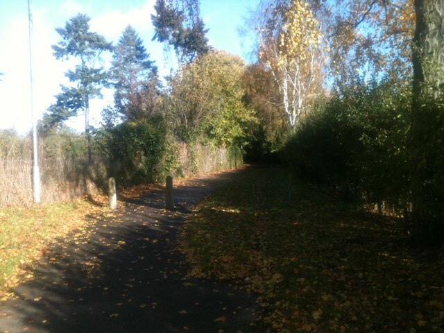
The plantation offers a network of well-maintained walking trails, allowing visitors to explore the woodland at their own pace. These paths meander through the forest, providing ample opportunities for quiet contemplation and a chance to immerse oneself in the beauty of nature. Additionally, there are designated picnic areas where visitors can enjoy a leisurely lunch amidst the serene surroundings.

Overall, Ashground Plantation in Suffolk is a captivating woodland that showcases the natural beauty of the region. With its ancient oak trees, diverse wildlife, and well-marked trails, it offers a serene escape for individuals seeking solace in nature.

If you have any feedback on the listing, please let us know in the comments section below.

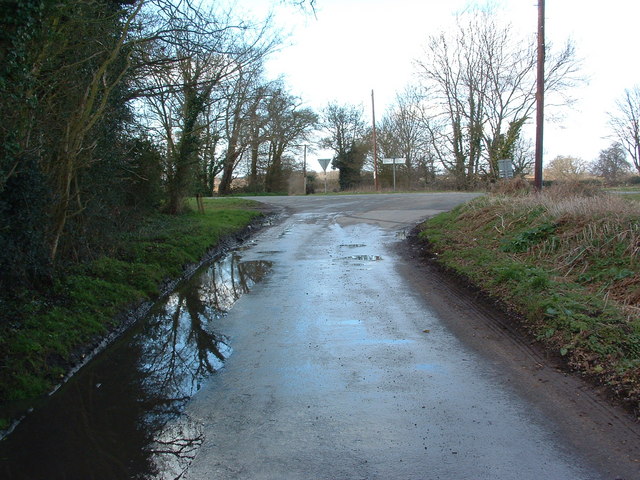
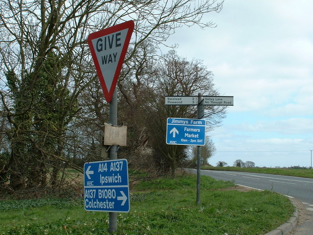
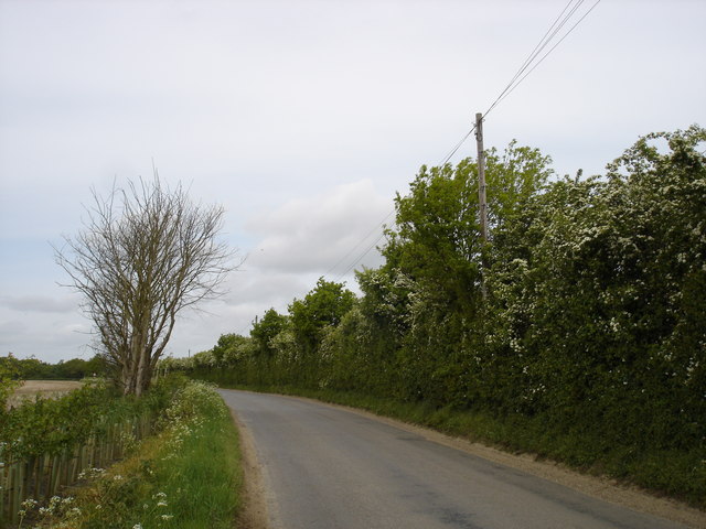
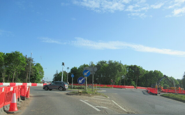
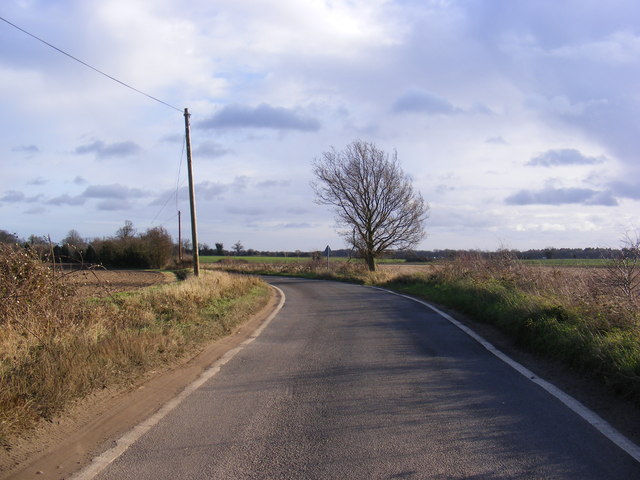
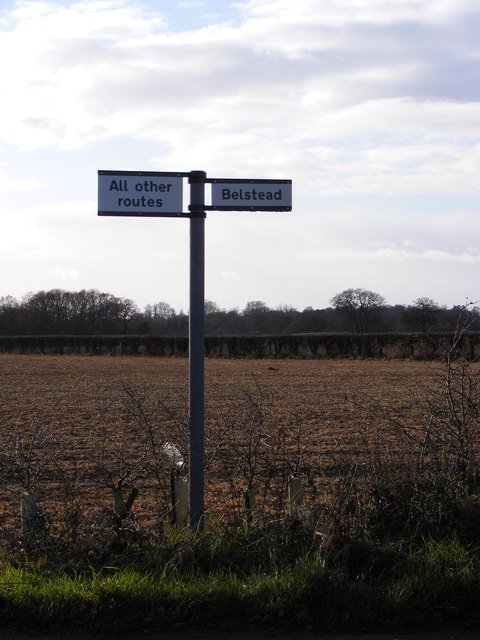
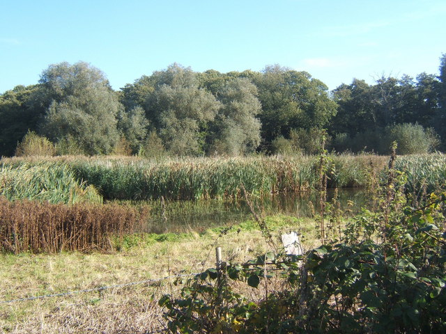
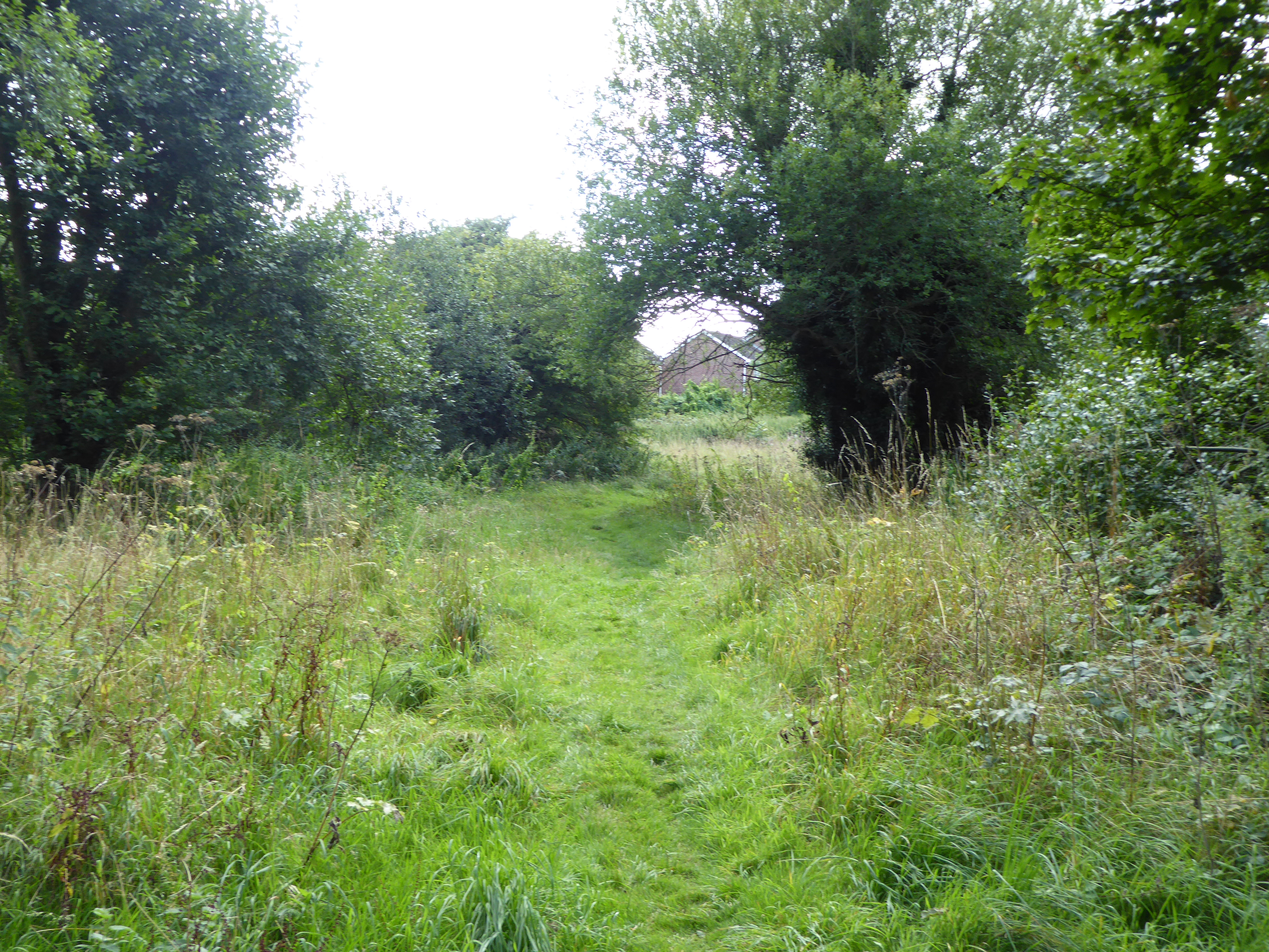
Ashground Plantation Images

Images are sourced within 2km of 52.030642/1.1316222 or Grid Reference TM1441. Thanks to Geograph Open Source API. All images are credited.

Road Junction Junction of minor road with A137 near to Wherstead Suffolk.
Road Junction
Junction of minor road with A137 near to Wherstead Suffolk.
Easter Pigs Road signs for Jimmys Farm. At special events he operates a one way system entrance is off the A137 and visitors leave by a back road hence the directions to Ipswich and Colchester. See <span class="nowrap"><a title="http://www.essexpigcompany.com/" rel="nofollow ugc noopener" href="http://www.essexpigcompany.com/">Link</a><img style="margin-left:2px;" alt="External link" title="External link - shift click to open in new window" src="https://s1.geograph.org.uk/img/external.png" width="10" height="10"/></span> for his web site.
Easter Pigs
Road signs for Jimmys Farm. At special events he operates a one way system entrance is off the A137 and visitors leave by a back road hence the directions to Ipswich and Colchester. See LinkExternal link for his web site.
The road to Belstead
A137 traffic island at junction for A14
Railway bridge over the A14 westbound near Ipswich
A14 westbound near Ipswich
A14 westbound approaching junction 55
A14 The A14 is a major road running 127 miles from Felixstowe to the Catthorpe Interchange, the junction of the M1 and M6 motorways near Rugby. The road connects East Anglia with the West Midlands and The North.
Wikipedia: <span class="nowrap"><a title="http://en.wikipedia.org/wiki/A14_road_(England)" rel="nofollow ugc noopener" href="http://en.wikipedia.org/wiki/A14_road_(England)">Link</a><img style="margin-left:2px;" alt="External link" title="External link - shift click to open in new window" src="https://s1.geograph.org.uk/img/external.png" width="10" height="10"/></span>
A14
The A14 is a major road running 127 miles from Felixstowe to the Catthorpe Interchange, the junction of the M1 and M6 motorways near Rugby. The road connects East Anglia with the West Midlands and The North. Wikipedia: LinkExternal link
Allotments
Allotments
Footpath leading to Conway Close The footpath to the west of the Community Garden.
Footpath leading to Conway Close
The footpath to the west of the Community Garden.
Montgomery Road The view of Montgomery Road at the corner with Tenby Road, the road to the right at the lamppost.
Montgomery Road
The view of Montgomery Road at the corner with Tenby Road, the road to the right at the lamppost.
Entrance to public footpath Near Bluegate Farm. Note footpath sign.
Entrance to public footpath
Near Bluegate Farm. Note footpath sign.
The Street Looking towards Blacksmith's Corner at the exit to Pannington Hall Farm (Jimmys Farm).
The Street
Looking towards Blacksmith's Corner at the exit to Pannington Hall Farm (Jimmys Farm).
The Street Looking towards the A137 at the exit to Pannington Hall Farm (Jimmys Farm).
The Street
Looking towards the A137 at the exit to Pannington Hall Farm (Jimmys Farm).
Roadsign on The Street At the exit to Pannington Hall Farm (Jimmys Farm).
Roadsign on The Street
At the exit to Pannington Hall Farm (Jimmys Farm).
Valley Lane At the junction with the A137 taken from The Street
Valley Lane
At the junction with the A137 taken from The Street
Valley Lane sign At the junction with the A137
Valley Lane sign
At the junction with the A137
Road Junction on the A137 Belstead to the left , straight on for Ipswich , a road junction with the A137 straight ahead or Manningtree behind me.
Road Junction on the A137
Belstead to the left , straight on for Ipswich , a road junction with the A137 straight ahead or Manningtree behind me.
Show me another place!

Ashground Plantation is located at Grid Ref: TM1441 (Lat: 52.030642, Lng: 1.1316222)

Administrative County: Suffolk

District: Ipswich

Police Authority: Suffolk

What 3 Words

///shredder.sticking.pipeline. Near Ipswich, Suffolk

Related Wikis

Bobbitshole, Belstead

Bobbitshole is a 1.7-hectare (4.2-acre) geological Site of Special Scientific Interest in Belstead, on the southern outskirts of Ipswich in Suffolk. It...

Bobbits Lane

Bobbits Lane is a 16.1 hectares (40 acres) Local Nature Reserve in Ipswich in Suffolk. It is owned by Ipswich Borough Council and managed by the Greenways...

Stoke Park Wood

Stoke Park Wood is a 2.2 hectare Local Nature Reserve in Ipswich in Suffolk. It is owned and managed by Ipswich Borough Council. This ancient wood was...

Stoke Park, Suffolk

Stoke Park was a country estate located at the southern edge of the Stoke ridge. The estate was owned by the Barons Gwydyr, and sold in the 1920s to pay...

Nearby Amenities

Located within 500m of 52.030642,1.1316222
Traffic Calming: island
Lat/Long: 52.0325543/1.133846
Crossing
Crossing: uncontrolled
Crossing Island: yes
Lat/Long: 52.0322218/1.1285106
Power: tower
Lat/Long: 52.0297316/1.1274322
Power: tower
Lat/Long: 52.0294777/1.1272942
Power: tower
Lat/Long: 52.0290212/1.1309437
Power: tower
Lat/Long: 52.0287658/1.1308619
Power: tower
Lat/Long: 52.0284687/1.1307744
Power: tower
Lat/Long: 52.0292326/1.1270686
Bus Stop
Winchester Way
Local Ref: adj
Naptan AtcoCode: 390030205
Naptan Bearing: N
Naptan CommonName: Winchester Way
Naptan Landmark: Winchester Way
Naptan NaptanCode: sufamjmt
Naptan PlusbusZoneRef: IPSWICH
Naptan Street: Stoke Park Drive
Naptan Verified: no
Public Transport: platform
Source: naptan_import
Lat/Long: 52.0334115/1.1340312
Bus Stop
Winchester Way
Local Ref: opp
Naptan AtcoCode: 390030206
Naptan Bearing: SW
Naptan CommonName: Winchester Way
Naptan Landmark: Winchester Way
Naptan NaptanCode: sufamjmw
Naptan PlusbusZoneRef: IPSWICH
Naptan Street: Stoke Park Drive
Naptan Verified: no
Public Transport: platform
Source: naptan_import
Lat/Long: 52.0323529/1.1337458
Bus Stop
Downside Close
Local Ref: adj
Naptan AtcoCode: 390030207
Naptan Bearing: SE
Naptan CommonName: Downside Close
Naptan Landmark: Downside Close
Naptan NaptanCode: sufamjpa
Naptan Street: Stoke Park Drive
Naptan Verified: no
Public Transport: platform
Source: naptan_import
Lat/Long: 52.0320836/1.1288792
Bus Stop
Downside Close
Local Ref: opp
Naptan AtcoCode: 390030208
Naptan Bearing: NW
Naptan CommonName: Downside Close
Naptan Landmark: Downside Close
Naptan NaptanCode: sufamjpd
Naptan PlusbusZoneRef: IPSWICH
Naptan Street: Stoke Park Drive
Naptan Verified: no
Public Transport: platform
Source: naptan_import
Lat/Long: 52.0325829/1.1278362
Power: tower
Lat/Long: 52.0289007/1.1354602
Power: tower
Lat/Long: 52.0283498/1.135575
Power: tower
Lat/Long: 52.0286064/1.1355068
Power: pole
Lat/Long: 52.0286165/1.130822
Power: pole
Lat/Long: 52.0285331/1.1305377
Power: pole
Lat/Long: 52.0272459/1.130708
Post Box
Collection Times: Mo-Fr 09:00; Sa 07:00
Operator: Royal Mail
Post Box Design: type_a
Post Box Type: pillar
Ref: IP2 1422
Royal Cypher: EIIR
Royal Cypher Wikidata: Q33102113
Source: survey
Lat/Long: 52.0335119/1.1340546
Post Box
Collection Times: Mo-Fr 09:00; Sa 07:00
Operator: Royal Mail
Post Box Design: type_b
Post Box Type: pillar
Ref: IP2 1419
Royal Cypher: EIIR
Royal Cypher Wikidata: Q33102113
Source: survey
Lat/Long: 52.0321059/1.1287646
Leisure: viewing_platform
Lat/Long: 52.0304144/1.1294706
Fixme: continues
Lat/Long: 52.0305552/1.1303134
The data included in this document is from www.openstreetmap.org. The data is made available under ODbL.

Have you been to Ashground Plantation?

Leave your review of Ashground Plantation below (or comments, questions and feedback).