Long Dell
Wood, Forest in Norfolk South Norfolk
England
Long Dell
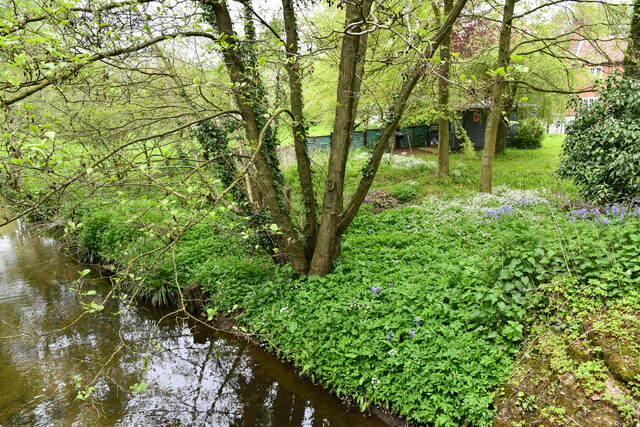
Long Dell, Norfolk, also known as Wood or Forest, is a picturesque village located in the county of Norfolk, England. Nestled amidst the tranquil countryside, Long Dell is renowned for its stunning natural beauty and peaceful atmosphere. The village is situated on the eastern edge of the Norfolk Broads, a vast network of rivers, lakes, and marshes that make up one of the most important wetland areas in Europe.
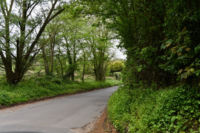
Long Dell is characterized by its dense woodlands, which surround the village and give it its alternative names of Wood or Forest. These woodlands are home to a diverse range of flora and fauna, making it a haven for nature enthusiasts and wildlife lovers. The village is also known for its ancient oak trees, some of which are believed to be over 500 years old.
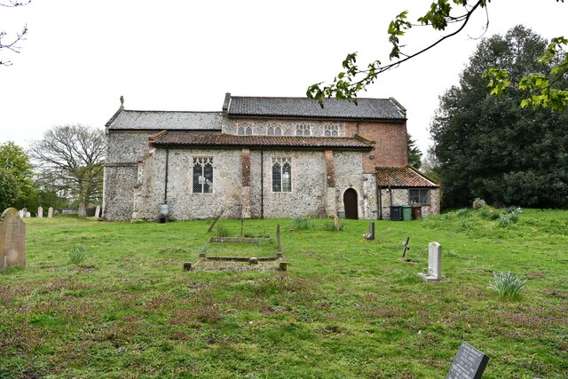
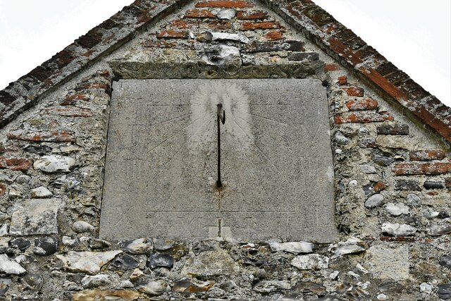
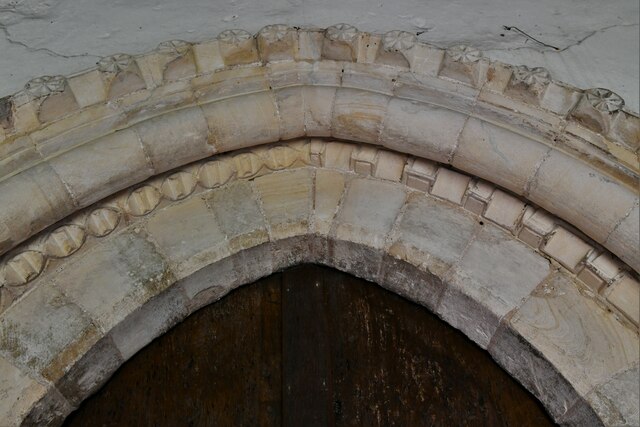
The village itself is small and charming, with a population of around 500 residents. It has a close-knit community that prides itself on preserving the village's rich history and heritage. Long Dell boasts several historical landmarks, including a 13th-century church and a traditional village green, which provides a focal point for community events and gatherings.
Long Dell offers a range of recreational activities for visitors and locals alike. The surrounding woodlands provide numerous walking and cycling trails, allowing visitors to explore the beautiful countryside and enjoy the peaceful ambiance. The nearby Norfolk Broads offer opportunities for boating, fishing, and birdwatching, attracting nature enthusiasts from far and wide.
In conclusion, Long Dell, Norfolk, with its enchanting woodlands, historic landmarks, and serene atmosphere, is an idyllic destination for those seeking a peaceful retreat in the heart of the English countryside.
If you have any feedback on the listing, please let us know in the comments section below.
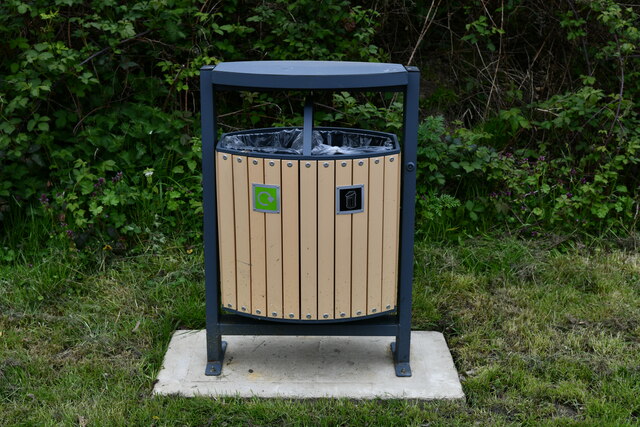
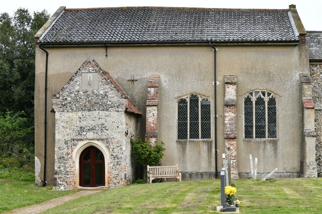
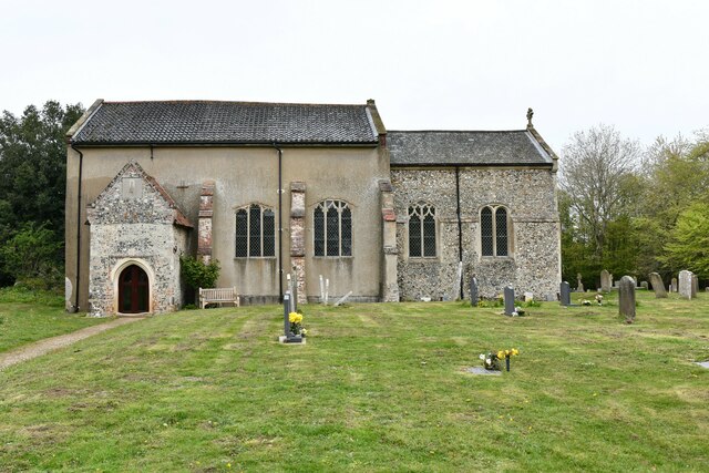
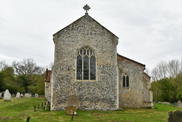
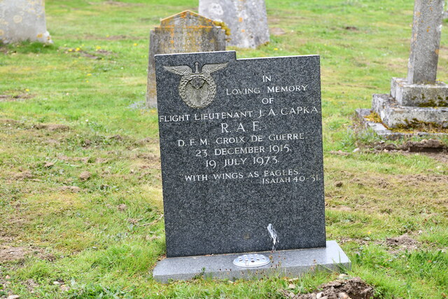
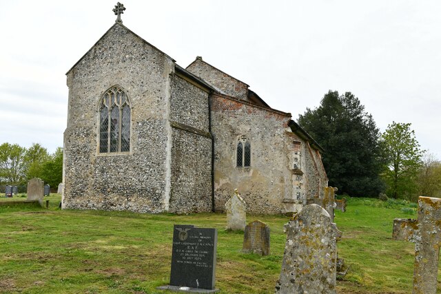
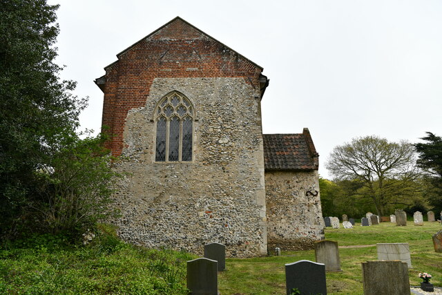
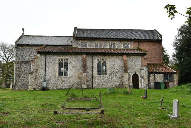
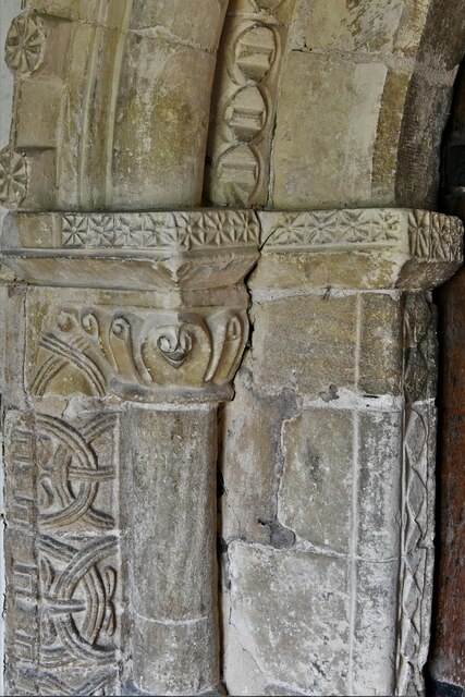
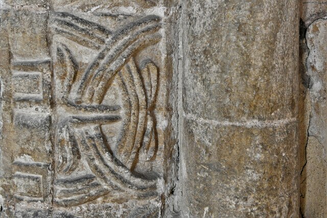
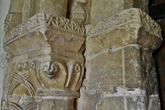
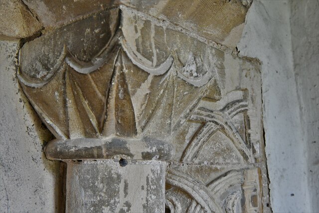
Long Dell Images
Images are sourced within 2km of 52.65587/1.1723351 or Grid Reference TG1411. Thanks to Geograph Open Source API. All images are credited.
Long Dell is located at Grid Ref: TG1411 (Lat: 52.65587, Lng: 1.1723351)
Administrative County: Norfolk
District: South Norfolk
Police Authority: Norfolk
What 3 Words
///slouched.meatballs.diet. Near Costessey, Norfolk
Nearby Locations
Related Wikis

Easton, Norfolk
Easton is a village and civil parish in the English county of Norfolk. The village is located 6.2 miles (10.0 km) north-west of Norwich and 9 miles (14...
Easton College
Easton College is a college of further and higher education in Norfolk, United Kingdom. It is located on a 200-hectare (490-acre) campus in the village...

Costessey Hall
Costessey Hall (pronounced and sometimes spelt Cossey Hall, also written as Cotesby Hall) was a manor house in Costessey, Norfolk, England, four miles...

Marlingford
Marlingford is a village and former civil parish, 6 miles (9.7 km) west of Norwich, now in the parish of Marlingford and Colton, in the South Norfolk district...

Bawburgh
Bawburgh () is a village and civil parish in the South Norfolk district of Norfolk, England, lying in the valley of the River Yare about 5 miles (8.0 km...

Taverham Hall School
Taverham Hall School was a private co-educational day and boarding preparatory school. Situated in Taverham, Norfolk, it was founded in 1920. The school...
Ormiston Victory Academy
Ormiston Victory Academy (formerly Costessey High School) is a secondary school and sixth form located in Costessey, Norfolk, England. The academy has...

Ringland, Norfolk
Ringland is a village and civil parish in Norfolk, England, and in the valley of the River Wensum, approximately 7 miles (11 km) north-west of Norwich...
Nearby Amenities
Located within 500m of 52.65587,1.1723351Have you been to Long Dell?
Leave your review of Long Dell below (or comments, questions and feedback).