Half Acre Plantation

Wood, Forest in Norfolk Broadland

England

Half Acre Plantation

Church Lane Church Lane crossroad.
Church Lane Credit: P Gaskell

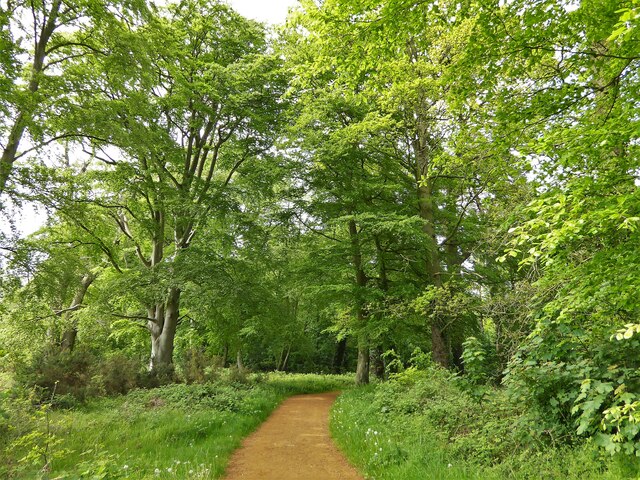
Half Acre Plantation is a picturesque woodland located in Norfolk, England. Situated amidst the serene countryside, this sprawling plantation covers an area of approximately half an acre, hence its name. The plantation is predominantly composed of a dense forest, adorned with a variety of indigenous trees and plants.

The woodland of Half Acre Plantation is characterized by its rich biodiversity, offering a habitat for numerous species of flora and fauna. Towering oak, beech, and birch trees dominate the landscape, creating a majestic canopy that provides shade and shelter for a plethora of wildlife. The forest floor is carpeted with a vibrant array of wildflowers, including bluebells, primroses, and foxgloves, providing a stunning display during the spring and summer months.

The plantation is a haven for nature enthusiasts and walkers, offering a network of well-maintained footpaths that wind through the woods. These paths provide visitors with an opportunity to explore the enchanting surroundings and immerse themselves in the tranquil ambiance of the forest. Along the way, one may encounter various woodland creatures, such as squirrels, rabbits, and an array of bird species, including woodpeckers and owls.

Half Acre Plantation is a cherished natural gem in Norfolk, offering a peaceful retreat from the hustle and bustle of daily life. Whether one seeks solitude amidst nature or enjoys leisurely walks through idyllic woodlands, this plantation provides an ideal setting for relaxation and rejuvenation.

If you have any feedback on the listing, please let us know in the comments section below.

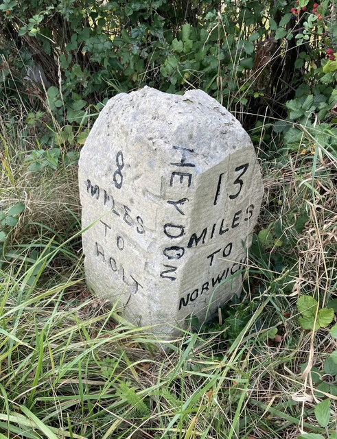
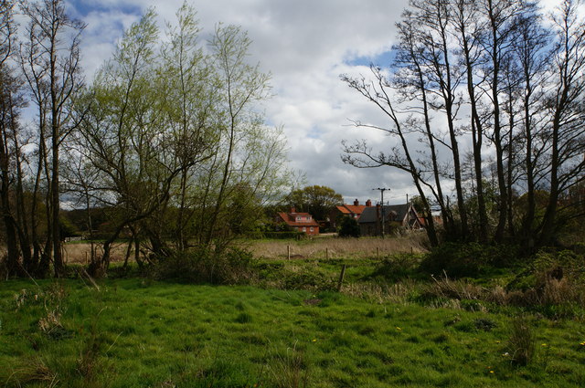
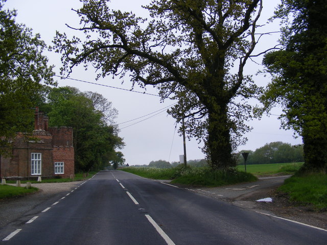
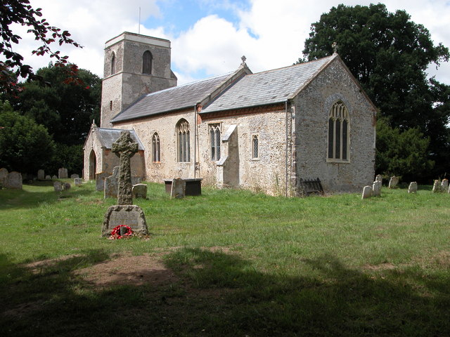
Half Acre Plantation Images

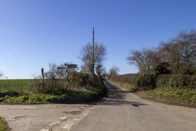
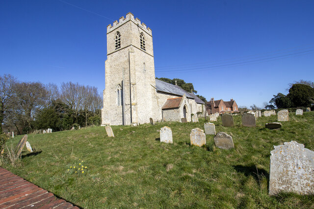
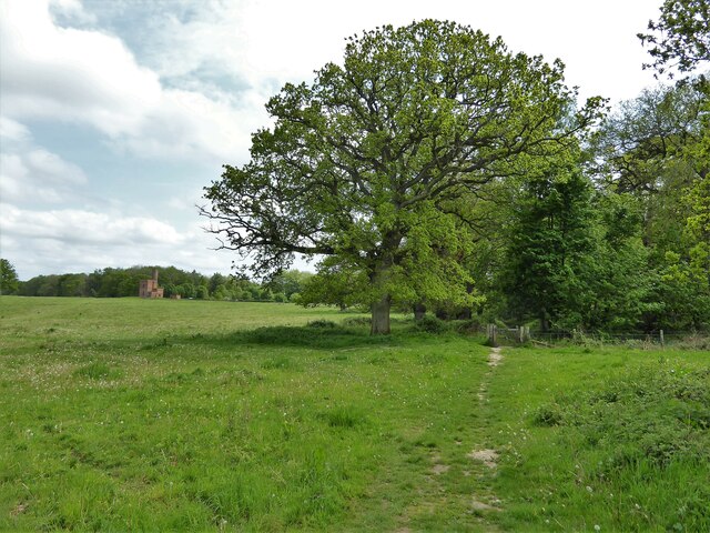
Images are sourced within 2km of 52.81489/1.1773354 or Grid Reference TG1428. Thanks to Geograph Open Source API. All images are credited.

Church Lane Church Lane crossroad.
Church Lane
Church Lane crossroad.
The Church of St Peter and St Paul at Oulton Church and churchyard
The Church of St Peter and St Paul at Oulton
Church and churchyard
Spink's Lane Spink's Lane public right of way
Spink's Lane
Spink's Lane public right of way
Blickling Estate Boundary Walk Entering Bucks Common west of The Tower
Blickling Estate Boundary Walk
Entering Bucks Common west of The Tower
Blickling Estate Walk Path leaving Hyde Park at the gate ahead and entering Bucks Common. The Tower is visible on the horizon.
Blickling Estate Walk
Path leaving Hyde Park at the gate ahead and entering Bucks Common. The Tower is visible on the horizon.
Old Milestone by the B1149, south west of Oulton Carved stone post by the B1149, in parish of Heydon (Broadland District), about 250yds South of lodge to Heydon Hall, on the verge backed by field, on West side of road. Holt diamond, erected by an unknown authority in the 18th century. 

Inscription reads:-
: 8 / MILES / TO / HOLT : : HEYDON : : 13 / MILES / TO / NORWICH : 
Carved benchmark on top noted in 1984, but removed by damage.

Norfolk HER listed.
NHER Number: 56454 <span class="nowrap"><a title="https://www.heritagegateway.org.uk/Gateway/Results_Single.aspx?uid=MNF62864&resourceID=1002" rel="nofollow ugc noopener" href="https://www.heritagegateway.org.uk/Gateway/Results_Single.aspx?uid=MNF62864&resourceID=1002">Link</a><img style="margin-left:2px;" alt="External link" title="External link - shift click to open in new window" src="https://s1.geograph.org.uk/img/external.png" width="10" height="10"/></span>

Milestone Society National ID: NO_NH13
Old Milestone by the B1149, south west of Oulton
Carved stone post by the B1149, in parish of Heydon (Broadland District), about 250yds South of lodge to Heydon Hall, on the verge backed by field, on West side of road. Holt diamond, erected by an unknown authority in the 18th century. Inscription reads:- : 8 / MILES / TO / HOLT : : HEYDON : : 13 / MILES / TO / NORWICH : Carved benchmark on top noted in 1984, but removed by damage. Norfolk HER listed. NHER Number: 56454 LinkExternal link Milestone Society National ID: NO_NH13
The Tower House, Blickling Estate <span class="nowrap"><a title="https://historicengland.org.uk/listing/the-list/list-entry/1051436?section=official-list-entry" rel="nofollow ugc noopener" href="https://historicengland.org.uk/listing/the-list/list-entry/1051436?section=official-list-entry">Link</a><img style="margin-left:2px;" alt="External link" title="External link - shift click to open in new window" src="https://s1.geograph.org.uk/img/external.png" width="10" height="10"/></span>
The Tower House, Blickling Estate
River Bure near Itteringham Part of the course of the River Bure between Itteringham and Blickling Great Wood.
River Bure near Itteringham
Part of the course of the River Bure between Itteringham and Blickling Great Wood.
River Bure The River Bure about 100 metres downstream from the footbridge over the river just north of Itteringham Common.
River Bure
The River Bure about 100 metres downstream from the footbridge over the river just north of Itteringham Common.
Itteringham Mill As seen from the road past Hill Farm, Itteringham. During WW2, some of the officers stationed at RAF Matlask were billeted here.
Itteringham Mill
As seen from the road past Hill Farm, Itteringham. During WW2, some of the officers stationed at RAF Matlask were billeted here.
Grazing land near Itteringham Common By the River Bure, Norfolk.
Grazing land near Itteringham Common
By the River Bure, Norfolk.
Footpath from Itteringham
Itteringham Village Shop General store, deli, Post Office, café and off licence run by the Itteringham Community Association.
Itteringham Village Shop
General store, deli, Post Office, café and off licence run by the Itteringham Community Association.
Path to Itteringham
Path to Itteringham
River Bure near Itteringham Common
Ditch by River Bure
Ditch by River Bure
B1149 Holt Road At the junction with Spink's Lane near Eagle Lodges
B1149 Holt Road
At the junction with Spink's Lane near Eagle Lodges
Show me another place!

Half Acre Plantation is located at Grid Ref: TG1428 (Lat: 52.81489, Lng: 1.1773354)

Administrative County: Norfolk

District: Broadland

Police Authority: Norfolk

What 3 Words

///palettes.irritable.tailing. Near Aylsham, Norfolk

Related Wikis

Oulton, Norfolk

Oulton is a village and civil parish in Norfolk, England. Nearby towns are Reepham and Aylsham. The parish covers an area of 10.58 km2 (4.08 sq mi) and...

RAF Oulton

Royal Air Force Oulton or more simply RAF Oulton is a former Royal Air Force satellite station located 3 miles (4.8 km) west of Aylsham, Norfolk and 12...

Itteringham

Itteringham is a village and civil parish in the English county of Norfolk, some 4+1⁄2 miles (7.2 km) northwest of the market town of Aylsham. It covers...

Bluestone railway station

Bluestone railway station was a station in Norfolk, England. It was on the Midland and Great Northern Joint Railway between Corpusty and Aylsham North...

Nearby Amenities

Located within 500m of 52.81489,1.1773354
The data included in this document is from www.openstreetmap.org. The data is made available under ODbL.

Have you been to Half Acre Plantation?

Leave your review of Half Acre Plantation below (or comments, questions and feedback).