Brick Kiln Covert
Wood, Forest in Norfolk South Norfolk
England
Brick Kiln Covert

Brick Kiln Covert is a woodland area located in Norfolk, England. Covering approximately 20 acres, it is a diverse and picturesque forest that offers a serene and tranquil environment for nature enthusiasts and hikers alike.
The woodland is predominantly composed of native broadleaf trees, including oak, beech, and birch, which provide a dense and lush canopy. These towering trees create a shaded and cool atmosphere, making it an ideal place to escape from the heat during the summer months.
Brick Kiln Covert is home to a wide variety of wildlife, including numerous bird species, such as woodpeckers, owls, and warblers. The dense undergrowth and fallen logs provide shelter for small mammals like rabbits, squirrels, and hedgehogs. Additionally, the forest floor is adorned with an array of wildflowers and ferns, adding splashes of color to the green landscape.
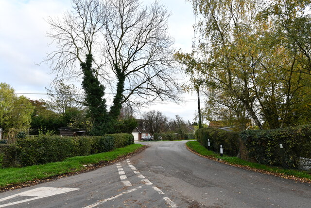
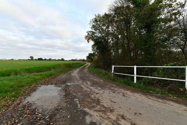
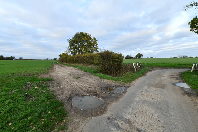
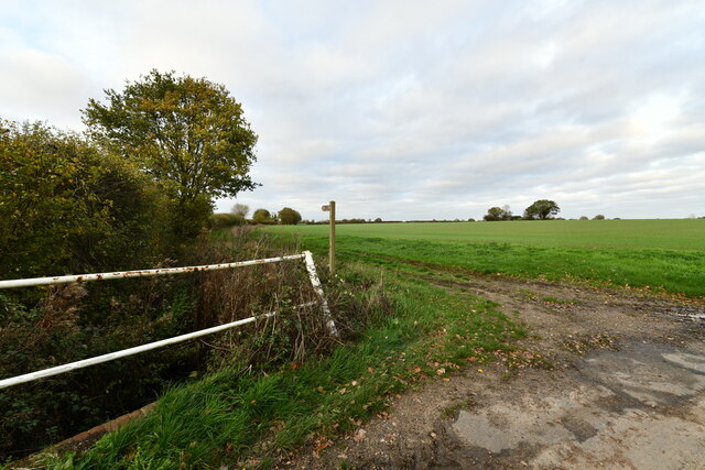
The woodland is crisscrossed by a network of well-maintained footpaths, allowing visitors to explore its beauty at their own pace. These paths lead to secluded clearings, ponds, and streams, enhancing the overall natural experience. Along the way, hikers may also come across the remnants of old brick kilns, which were once used to produce bricks for local construction.
Brick Kiln Covert is a popular destination for nature walks, photography, and bird watching. Its serene and untouched atmosphere offers a peaceful retreat from the hustle and bustle of urban life, allowing visitors to reconnect with nature and enjoy the beauty of Norfolk's woodlands.
If you have any feedback on the listing, please let us know in the comments section below.
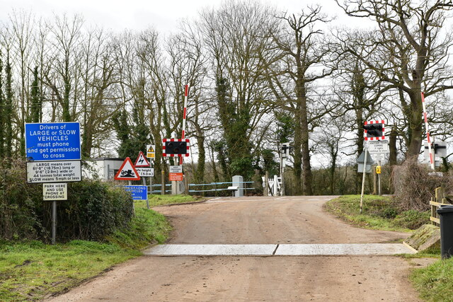
Brick Kiln Covert Images
Images are sourced within 2km of 52.419286/1.1485468 or Grid Reference TM1484. Thanks to Geograph Open Source API. All images are credited.


Brick Kiln Covert is located at Grid Ref: TM1484 (Lat: 52.419286, Lng: 1.1485468)
Administrative County: Norfolk
District: South Norfolk
Police Authority: Norfolk
What 3 Words
///prefix.massaging.grinders. Near Dickleburgh, Norfolk
Nearby Locations
Related Wikis

Gissing, Norfolk
Gissing is a village and civil parish in Norfolk, England, about 6 miles (9.7 km) north of Diss and 15 miles (24 km) south-west of Norwich. == History... ==

Burston railway station
Burston railway station was on the Diss to Norwich line and served the village of Burston, Norfolk. Only the station building remains; the signal box has...

Burston Strike School
The Burston Strike School was founded as a consequence of a school strike and became the centre of the longest running strike in British history, that...

Heywood, Norfolk
Heywood is a civil parish in the English county of Norfolk. It was formed in 2003 from a part of the parish of Diss. It covers an area of 9.56 km2 (3.69...
Nearby Amenities
Located within 500m of 52.419286,1.1485468Have you been to Brick Kiln Covert?
Leave your review of Brick Kiln Covert below (or comments, questions and feedback).