Gravel Pit Plantation
Wood, Forest in Norfolk South Norfolk
England
Gravel Pit Plantation
Gravel Pit Plantation is a picturesque woodland area located in Norfolk, England. Spread over a vast expanse, the plantation is known for its dense forest cover and scenic beauty. It is situated near the village of Wood, making it easily accessible to both locals and tourists.
The woodland is predominantly comprised of various species of trees, including oak, beech, and birch, which create a rich tapestry of colors during different seasons. The forest floor is covered with a dense undergrowth of ferns, wildflowers, and mosses, adding to the overall charm of the area.
Gravel Pit Plantation is a haven for wildlife enthusiasts as it provides a natural habitat for a diverse range of animals. Visitors may spot deer, foxes, and rabbits, among other woodland creatures, as they explore the plantation. Birdwatchers can also enjoy the melodious songs of various avian species, including woodpeckers and owls.
The plantation offers several walking trails and footpaths that allow visitors to fully immerse themselves in the beauty of nature. These paths wind through the forest, revealing stunning views and offering opportunities for peaceful reflection. Many visitors also take advantage of these trails for jogging, cycling, or simply enjoying a leisurely stroll.
Overall, Gravel Pit Plantation in Norfolk is a serene and captivating woodland area that offers a tranquil escape from the hustle and bustle of daily life. Its natural beauty, abundant wildlife, and well-maintained trails make it a popular destination for nature lovers and outdoor enthusiasts alike.
If you have any feedback on the listing, please let us know in the comments section below.
Gravel Pit Plantation Images
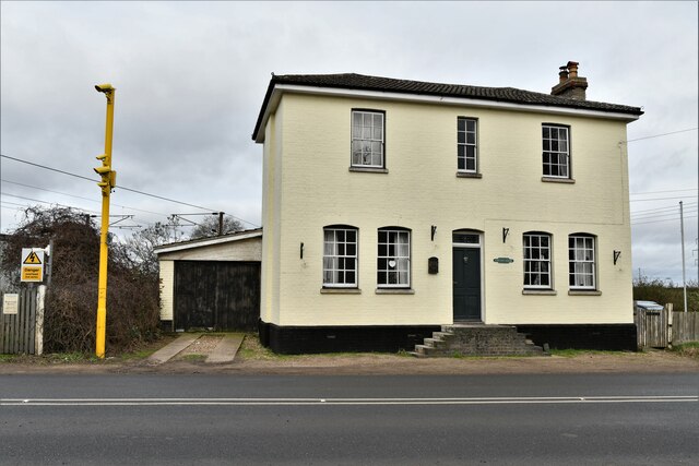
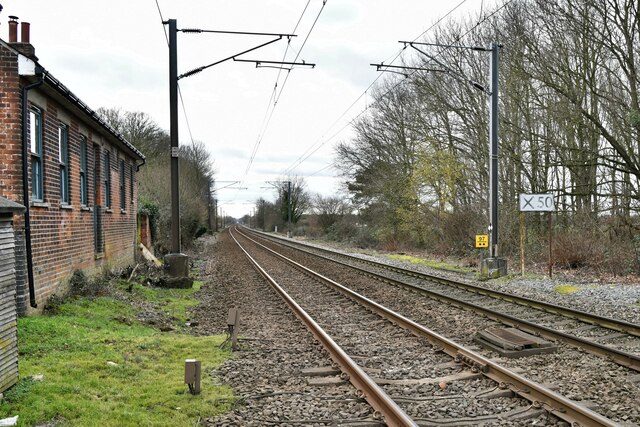
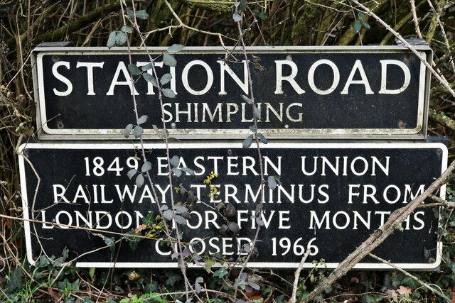
Images are sourced within 2km of 52.39013/1.1437799 or Grid Reference TM1481. Thanks to Geograph Open Source API. All images are credited.

Gravel Pit Plantation is located at Grid Ref: TM1481 (Lat: 52.39013, Lng: 1.1437799)
Administrative County: Norfolk
District: South Norfolk
Police Authority: Norfolk
What 3 Words
///solicitor.wallet.cone. Near Scole, Norfolk
Nearby Locations
Related Wikis
Burston and Shimpling
Burston and Shimpling is a civil parish in the county of Norfolk, England. The parish covers an area of 9.17 km2 (3.54 sq mi) and had a population of 538...

Burston, Norfolk
Burston is a village and former civil parish, now in the parish of Burston and Shimpling, in the South Norfolk district, in the county of Norfolk, England...

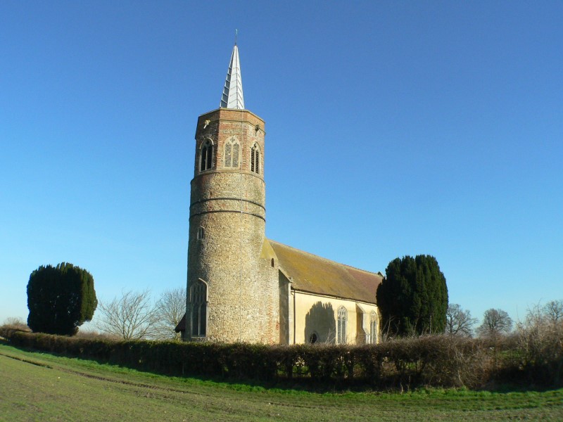
St Andrew's Church, Frenze
St Andrew's Church is a redundant Anglican church in the civil parish of Scole, Norfolk, England. It is recorded in the National Heritage List for England...

Burston Strike School
The Burston Strike School was founded as a consequence of a school strike and became the centre of the longest running strike in British history, that...
Nearby Amenities
Located within 500m of 52.39013,1.1437799Have you been to Gravel Pit Plantation?
Leave your review of Gravel Pit Plantation below (or comments, questions and feedback).