Lodge Plantation
Wood, Forest in Norfolk South Norfolk
England
Lodge Plantation
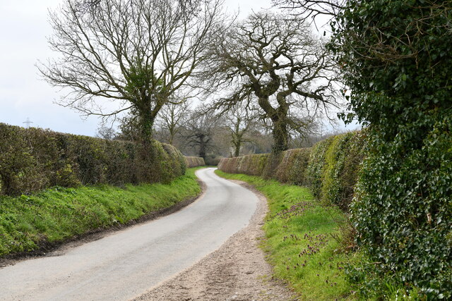
Lodge Plantation, located in Norfolk, is a picturesque woodland area known for its enchanting beauty and tranquility. Spanning over acres of land, the plantation is a haven for nature enthusiasts and those seeking solace amidst verdant surroundings. Nestled within the heart of the Norfolk countryside, Lodge Plantation is a harmonious blend of ancient woodlands and diverse flora and fauna.
The forest boasts a rich history, with parts of it dating back hundreds of years. Many of the trees within Lodge Plantation are ancient oaks and beeches, standing tall and proud, while providing a habitat for countless species of birds, insects, and animals. The woodland floor is adorned with carpets of wildflowers during the spring and summer months, adding bursts of color to the serene landscape.
Visitors to Lodge Plantation can indulge in a range of outdoor activities. The plantation offers well-maintained trails for hiking and walking, allowing visitors to explore the woodland at their own pace. The tranquil atmosphere makes it an ideal location for meditation, photography, or simply enjoying a picnic amidst nature's embrace.
Lodge Plantation is also a sanctuary for wildlife, and nature enthusiasts can spot a variety of creatures, including deer, foxes, rabbits, and a plethora of bird species. It is not uncommon to hear the melodic chirping of birds or catch a glimpse of a majestic stag roaming through the trees.
Whether it's a leisurely stroll through the woods, a bird-watching expedition, or a day spent in quiet contemplation, Lodge Plantation offers an idyllic retreat from the hustle and bustle of everyday life. Its natural beauty and serene ambiance make it a must-visit destination for anyone seeking a peaceful connection with nature.
If you have any feedback on the listing, please let us know in the comments section below.
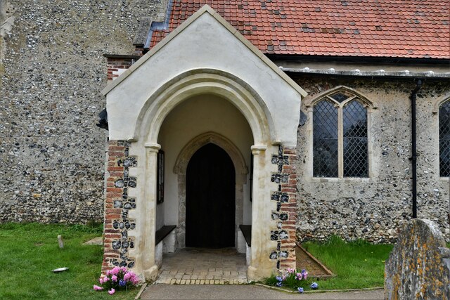
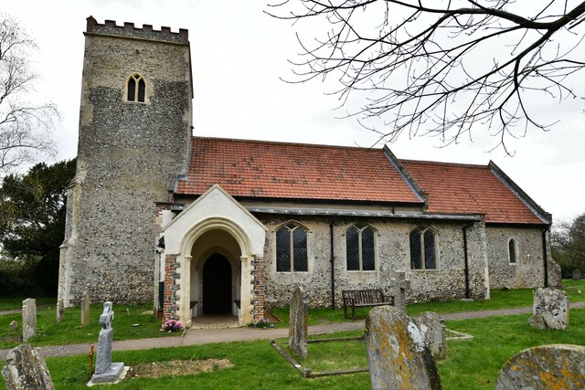
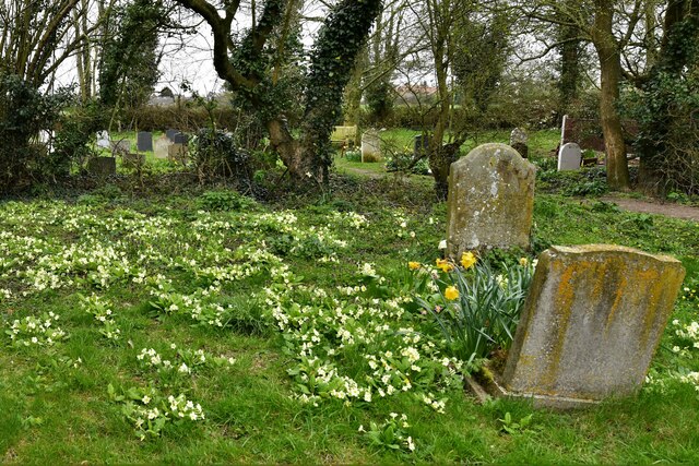
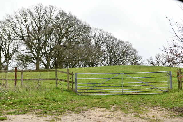
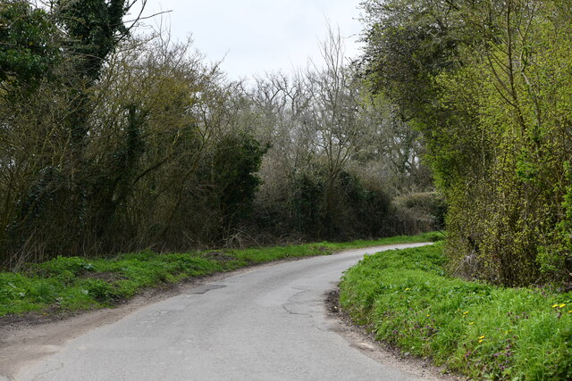
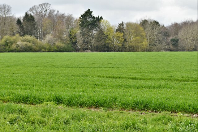
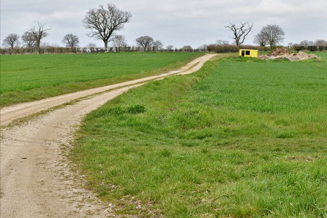
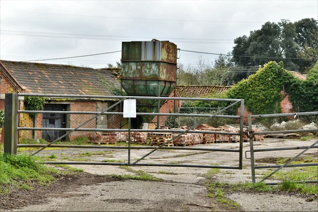
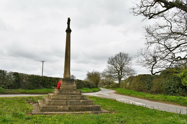
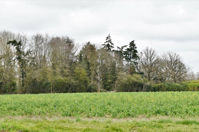
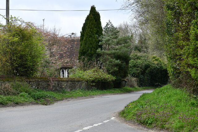
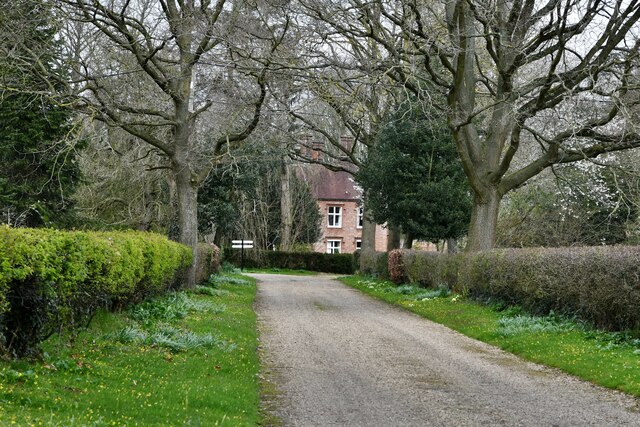
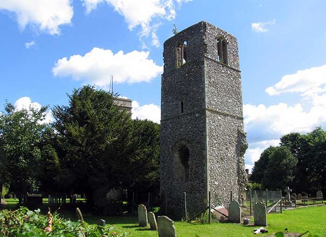
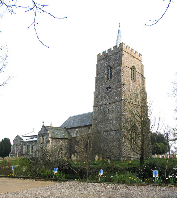
Lodge Plantation Images
Images are sourced within 2km of 52.61387/1.1596035 or Grid Reference TG1406. Thanks to Geograph Open Source API. All images are credited.


Lodge Plantation is located at Grid Ref: TG1406 (Lat: 52.61387, Lng: 1.1596035)
Administrative County: Norfolk
District: South Norfolk
Police Authority: Norfolk
What 3 Words
///lyricist.mixers.pebbles. Near Hethersett, Norfolk
Nearby Locations
Related Wikis
Great Melton
Great Melton is a civil parish in the English county of Norfolk. It covers an area of 10.24 km2 (3.95 sq mi) and had a population of 148 in 59 households...
Hethersett
Hethersett is a large village and electoral ward in the county of Norfolk, England, about 6 miles (10 km) south-west of Norwich. It covers an area of 4...

River Tiffey
The River Tiffey is a small river in Norfolk, England and a tributary of the River Yare. It rises near Hethel and passes through Wymondham before flowing...

Hethersett Academy
Hethersett Academy, previously known as Hethersett High School and Science College, is a coeducational secondary school, part of the Inspiration Trust...

Little Melton
Little Melton is a village on the outskirts of Norwich in the South Norfolk district of Norfolk, England. It covers an area of 2.75 km2 (1.06 sq mi) and...
Hethersett Old Hall School
Hethersett Old Hall School was an independent school located in Hethersett, Norfolk, England that educated around 180 boys and girls. It was a day school...

Bawburgh
Bawburgh () is a village and civil parish in the South Norfolk district of Norfolk, England, lying in the valley of the River Yare about 5 miles (8.0 km...

Barford, Norfolk
Barford is a village and civil parish in the English county of Norfolk, situated some 4 miles (6 km) north of Wymondham and 8 miles (13 km) west of Norwich...
Nearby Amenities
Located within 500m of 52.61387,1.1596035Have you been to Lodge Plantation?
Leave your review of Lodge Plantation below (or comments, questions and feedback).