Bull's Wood
Wood, Forest in Suffolk Mid Suffolk
England
Bull's Wood
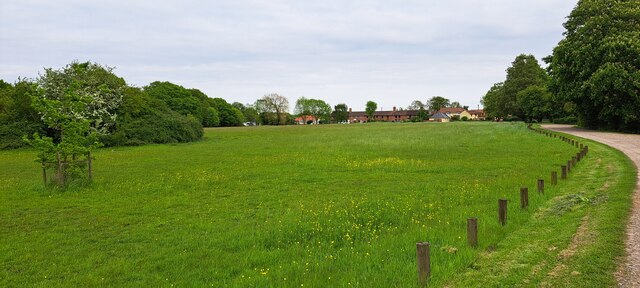
Bull's Wood, located in Suffolk, England, is a picturesque woodland area that covers approximately 50 hectares. This ancient forest is a part of the larger Thetford Forest Park, which is renowned for its natural beauty and rich biodiversity. Bull's Wood is situated near the village of Elveden and is easily accessible to both locals and tourists.
The woodland is predominantly made up of broadleaf trees, including oak, beech, and birch, which thrive in the fertile soil and mild climate of Suffolk. These trees create a dense canopy that provides shelter and habitats for a variety of fauna species. Visitors to Bull's Wood can expect to encounter an array of wildlife, including deer, badgers, foxes, and a wide variety of birds.
The forest is crisscrossed by a network of well-maintained trails, making it an ideal destination for walking, hiking, and nature enthusiasts. These trails offer visitors the opportunity to explore the tranquil woodland, admire the seasonal flora, and listen to the soothing sounds of the forest.
Additionally, Bull's Wood boasts several picnic areas and seating spots, allowing visitors to relax and enjoy the peaceful surroundings. It is also a popular spot for nature photography, with its stunning landscapes providing ample opportunities for capturing beautiful shots.
Overall, Bull's Wood in Suffolk is a beloved natural retreat, offering visitors a chance to immerse themselves in the tranquility of nature while enjoying the diverse flora and fauna that thrive within its boundaries.
If you have any feedback on the listing, please let us know in the comments section below.
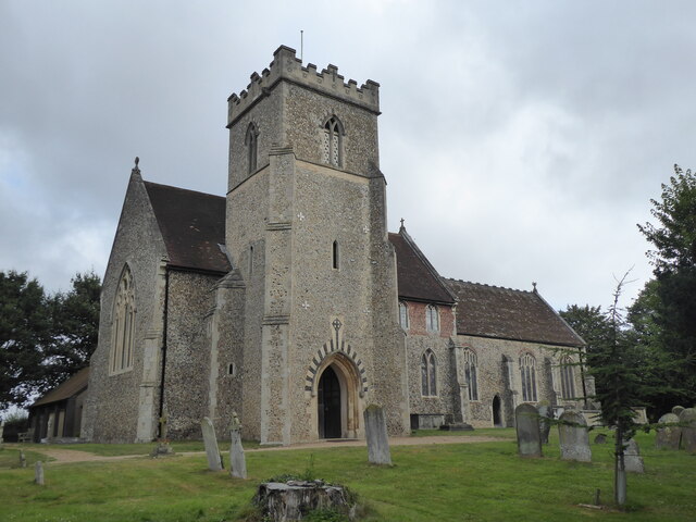
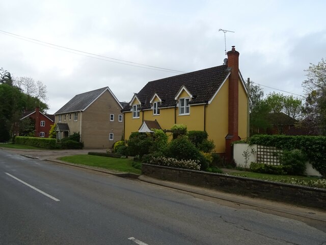
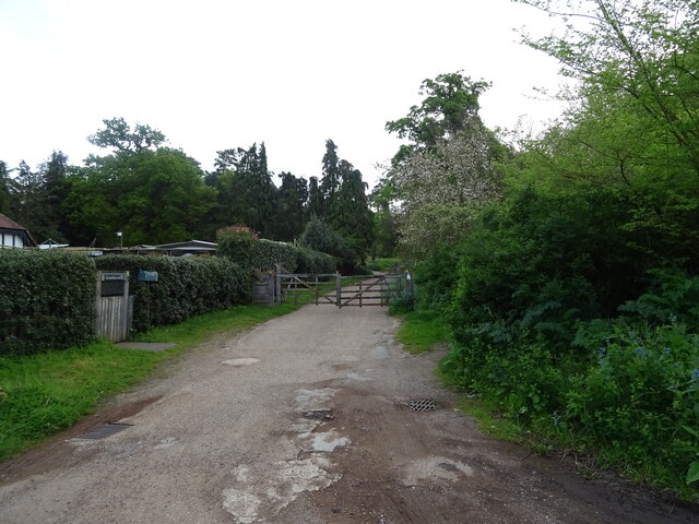
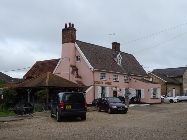
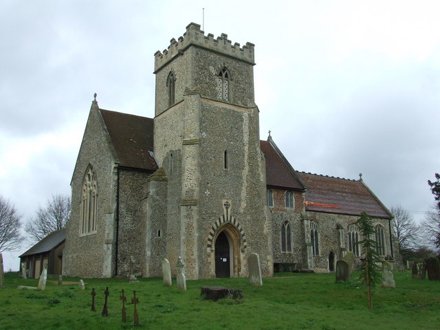
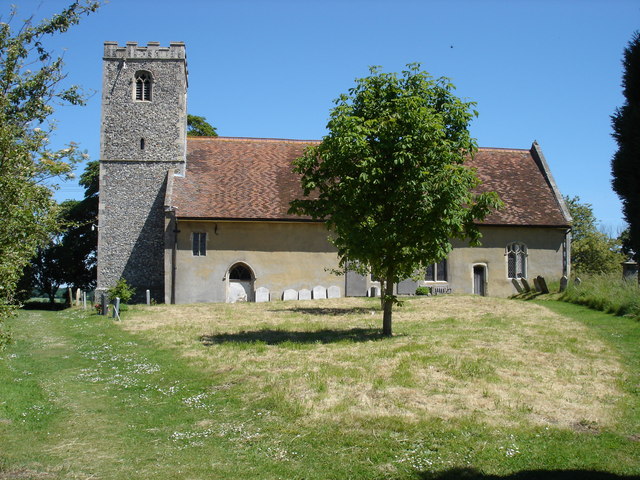
Bull's Wood Images
Images are sourced within 2km of 52.129318/1.1250095 or Grid Reference TM1352. Thanks to Geograph Open Source API. All images are credited.


Bull's Wood is located at Grid Ref: TM1352 (Lat: 52.129318, Lng: 1.1250095)
Administrative County: Suffolk
District: Mid Suffolk
Police Authority: Suffolk
What 3 Words
///stolen.gangs.entitles. Near Claydon, Suffolk
Nearby Locations
Related Wikis
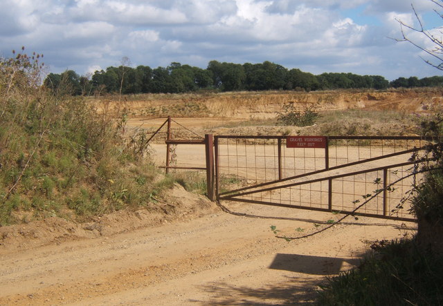
Sandy Lane Pit, Barham
Sandy Lane Pit, Barham is an 11.1-hectare (27-acre) geological Site of Special Scientific Interest west of Barham in Suffolk, England. It is a Geological...
Hemingstone Hall
Hemingstone Hall is a Jacobean manor house in Hemingstone close to Ipswich in Suffolk, England. It was built in the early 17th Century, around 1625, for...

Shrubland Hall Anglo-Saxon cemetery
Shrubland Hall Anglo-Saxon cemetery is a 7th-century Anglo-Saxon burial site discovered at Shrubland Hall Quarry near Coddenham, Suffolk. The cemetery...

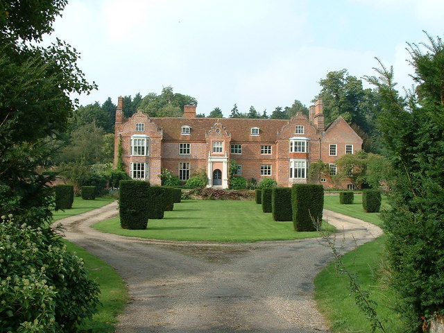
Shrubland Hall
Shrubland Hall, Coddenham, Suffolk, is a historic English country house with planned gardens in Suffolk, England, built in the 1770s. The Hall was used...

Bosmere and Claydon Rural District
Bosmere and Claydon Rural District was a rural district within the administrative county of East Suffolk between 1894 and 1934. It was created out of the...
St Mary and St Peter's Church, Barham
St Mary and St Peter's Church is an active Anglican parish church in the village of Barham near Ipswich. It contains a Henry Moore statue of Madonna and...
Hemingstone
Hemingstone is a village and civil parish in the Mid Suffolk district of Suffolk in eastern England located 6.5 miles (11 km) north of Ipswich. Hemingstone...
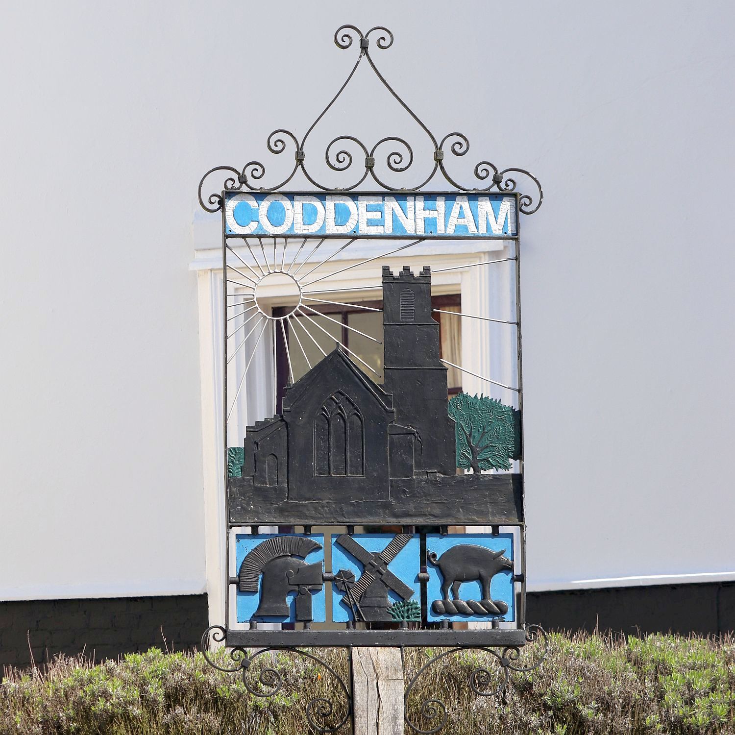
Coddenham
Coddenham is a village and civil parish in the Mid Suffolk district of Suffolk in eastern England. Located to the north of the A14 road, 8 miles north...
Nearby Amenities
Located within 500m of 52.129318,1.1250095Have you been to Bull's Wood?
Leave your review of Bull's Wood below (or comments, questions and feedback).