Crowfield Wood
Wood, Forest in Suffolk Mid Suffolk
England
Crowfield Wood
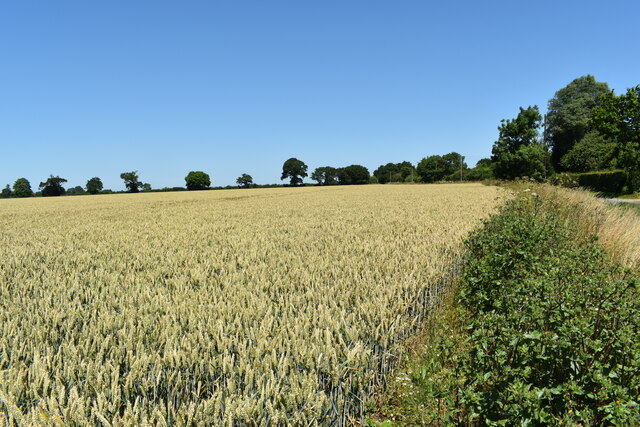
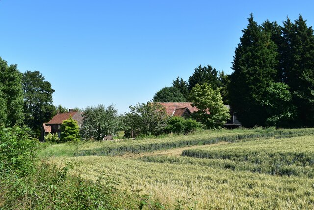
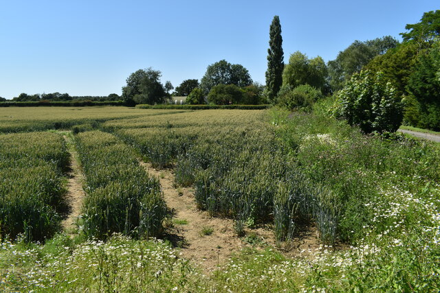
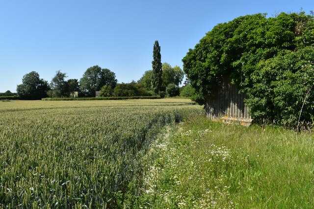
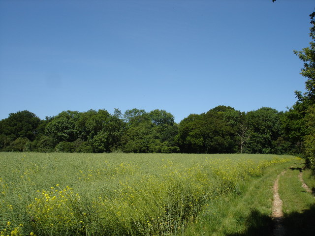
Crowfield Wood is a remarkable forest located in Suffolk, England. Extending over an area of approximately 150 hectares, it is a captivating blend of diverse flora and fauna, offering a tranquil retreat for nature enthusiasts. The wood is characterized by its dense canopy of towering trees, creating a serene and shaded environment for visitors.
The forest is home to a rich variety of tree species, including oak, beech, and birch, which dominate the landscape with their magnificent presence. These trees provide a vital habitat for numerous bird species, such as woodpeckers, tawny owls, and great tits, making it a haven for birdwatchers.
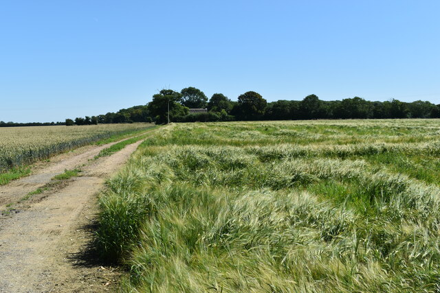
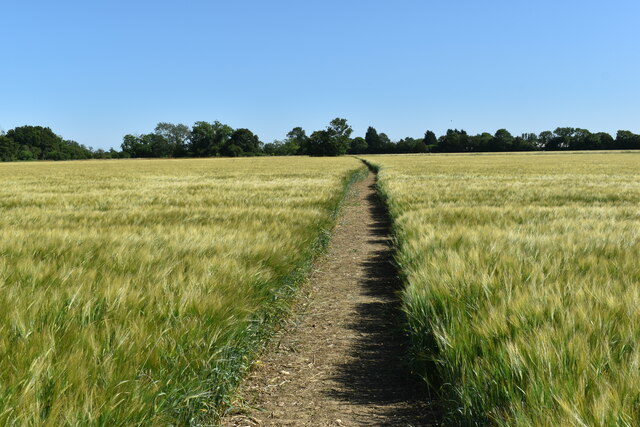
Crowfield Wood boasts an extensive network of well-maintained footpaths, allowing visitors to explore its beauty at their own pace. The paths wind through the forest, leading to hidden clearings, secluded ponds, and ancient woodlands. The wood is also crisscrossed by a meandering stream, adding to its ethereal charm.
Beyond its natural beauty, Crowfield Wood also holds historical significance. It is believed to have been part of a medieval deer park, and remnants of its past can still be found in the form of ancient earthworks and ditches. These historical features add an intriguing element to the wood's allure.
With its picturesque landscapes, diverse wildlife, and historical remnants, Crowfield Wood offers an enchanting escape from the bustle of everyday life. Whether one seeks a peaceful walk among nature or an opportunity to observe the wonders of the animal kingdom, this Suffolk forest never fails to captivate its visitors.
If you have any feedback on the listing, please let us know in the comments section below.
Crowfield Wood Images
Images are sourced within 2km of 52.172394/1.1173513 or Grid Reference TM1357. Thanks to Geograph Open Source API. All images are credited.


Crowfield Wood is located at Grid Ref: TM1357 (Lat: 52.172394, Lng: 1.1173513)
Administrative County: Suffolk
District: Mid Suffolk
Police Authority: Suffolk
What 3 Words
///shudders.encloses.fantastic. Near Needham Market, Suffolk
Nearby Locations
Related Wikis
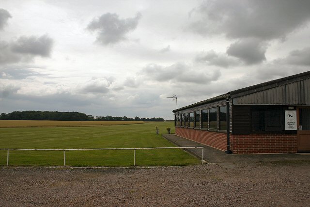
Crowfield Airfield
Crowfield Airfield (ICAO: EGSO) is a privately owned airfield located in Suffolk in the east of England. It has 2 grass runways. Crowfield Airfield has...
Crowfield, Suffolk
Crowfield is a village in Suffolk, England. It is in Helmingham and Coddenham ward in the Mid Suffolk local authority, in the East of England region....
Gosbeck Wood
Gosbeck Wood is a 22.8-hectare (56-acre) biological Site of Special Scientific Interest east of Needham Market in Suffolk.This is an ancient coppice with...

Lingwood Meadows
Lingwood Meadows is a 2.7-hectare (6.7-acre) biological Site of Special Scientific Interest east of Earl Stonham in Suffolk.These ancient meadows are one...
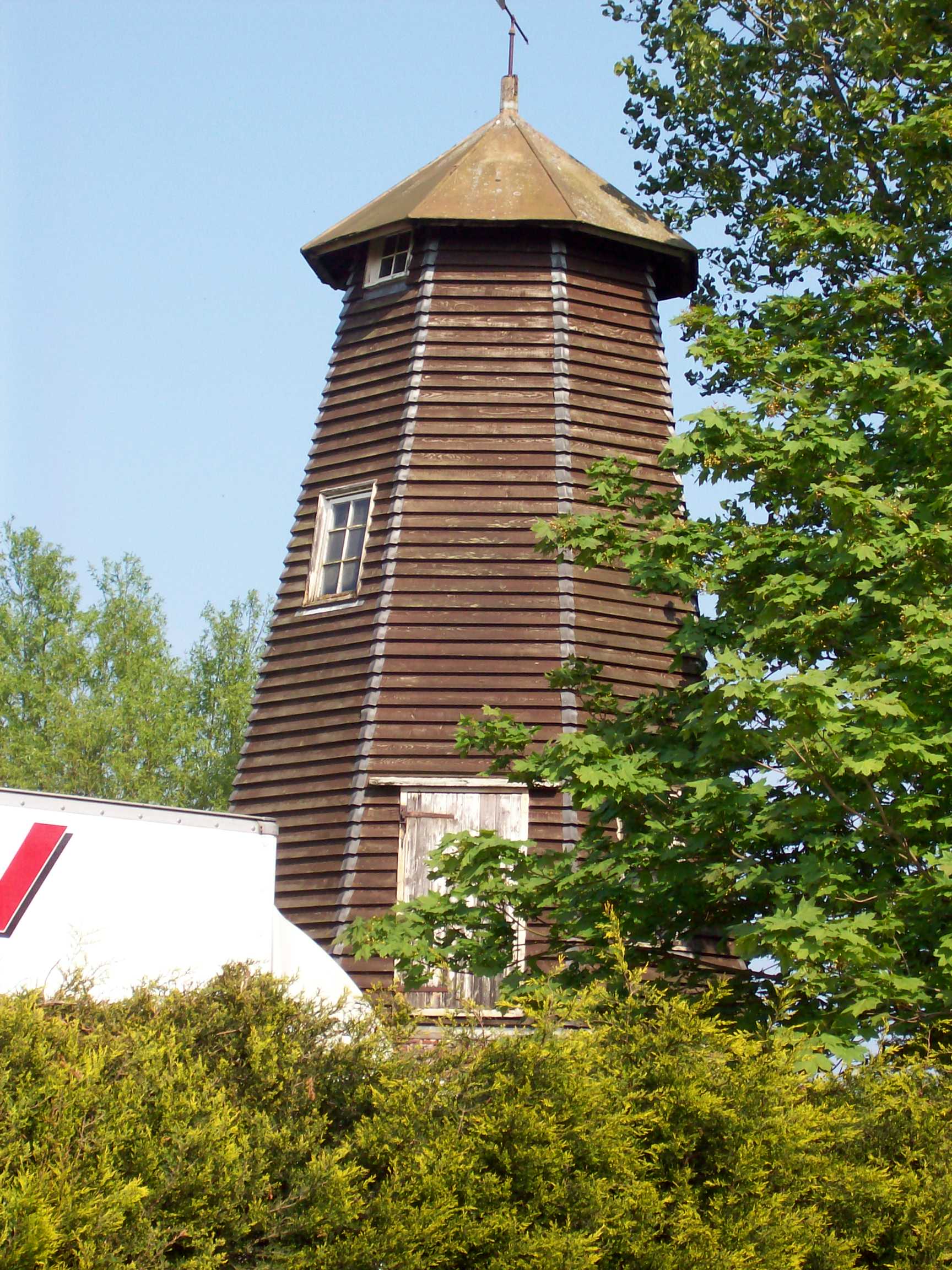
Crowfield Windmill
Crowfield Windmill is a smock mill at Crowfield, Suffolk, England which has been conserved. == History == Crowfield Windmill was originally built as a...
Stonham Aspal
Stonham Aspal is a village and civil parish in the Mid Suffolk district of Suffolk in eastern England, some five miles (8 km) east of the town of Stowmarket...
Gosbeck
Gosbeck is a village and civil parish in the Mid Suffolk district of Suffolk in eastern England. Located around five miles north of Ipswich, in 2005 its...

Bosmere and Claydon Hundred
Bosmere and Claydon was a hundred of Suffolk, consisting of 31,850 acres (128.9 km2).The hundred is a fertile and picturesque district varying from 8 to...
Have you been to Crowfield Wood?
Leave your review of Crowfield Wood below (or comments, questions and feedback).