Clynt Plantation
Wood, Forest in Norfolk South Norfolk
England
Clynt Plantation
The requested URL returned error: 429 Too Many Requests
If you have any feedback on the listing, please let us know in the comments section below.
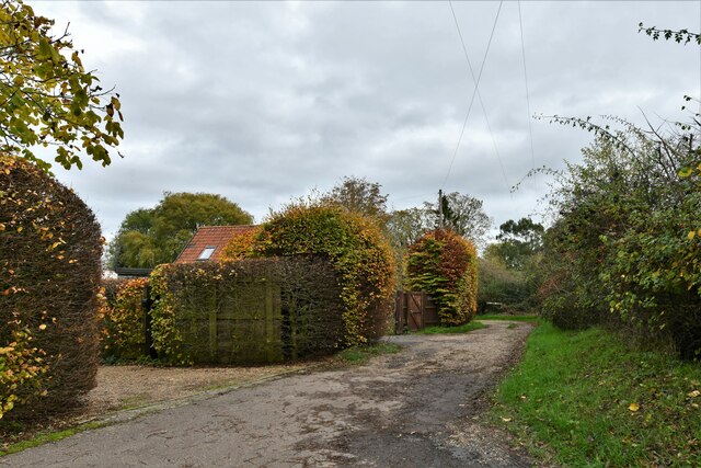
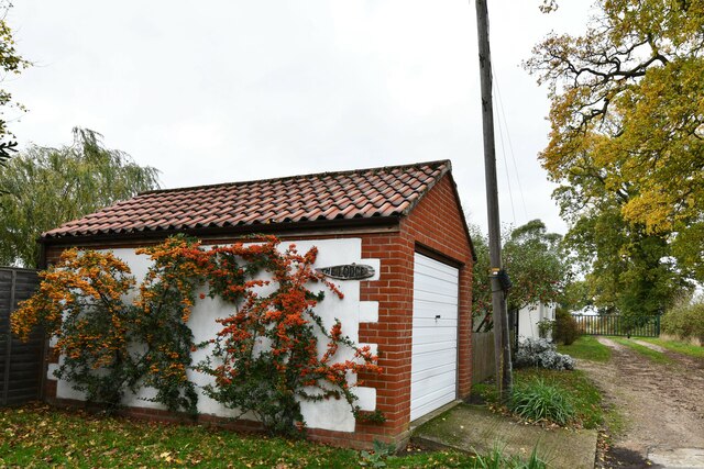
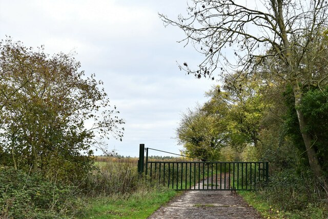
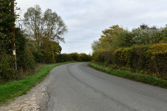
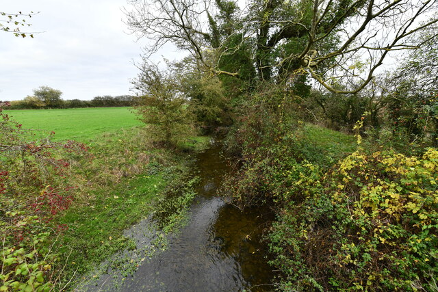
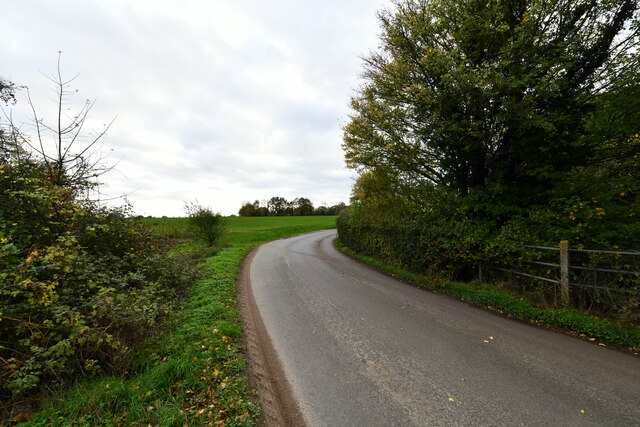
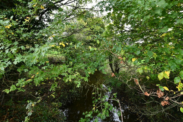
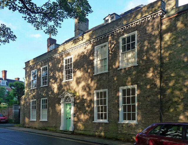
Clynt Plantation Images
Images are sourced within 2km of 52.375963/1.1299881 or Grid Reference TM1379. Thanks to Geograph Open Source API. All images are credited.


Clynt Plantation is located at Grid Ref: TM1379 (Lat: 52.375963, Lng: 1.1299881)
Administrative County: Norfolk
District: South Norfolk
Police Authority: Norfolk
What 3 Words
///vegetable.ribs.tones. Near Diss, Norfolk
Nearby Locations
Related Wikis
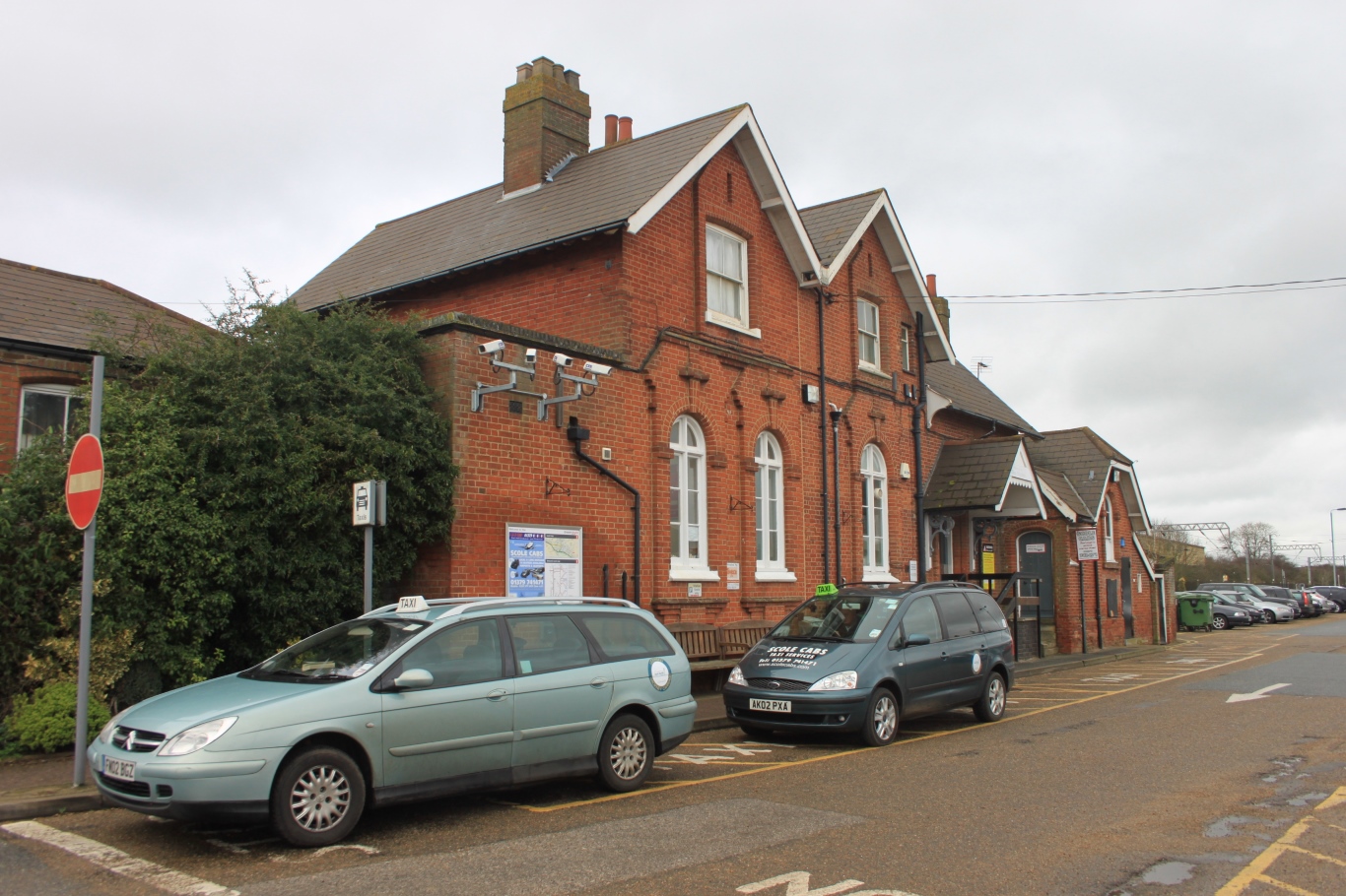
Diss railway station
Diss railway station is on the Great Eastern Main Line in the East of England, serving the market town of Diss, Norfolk. It is 94 miles 43 chains (152...

St Andrew's Church, Frenze
St Andrew's Church is a redundant Anglican church in the civil parish of Scole, Norfolk, England. It is recorded in the National Heritage List for England...
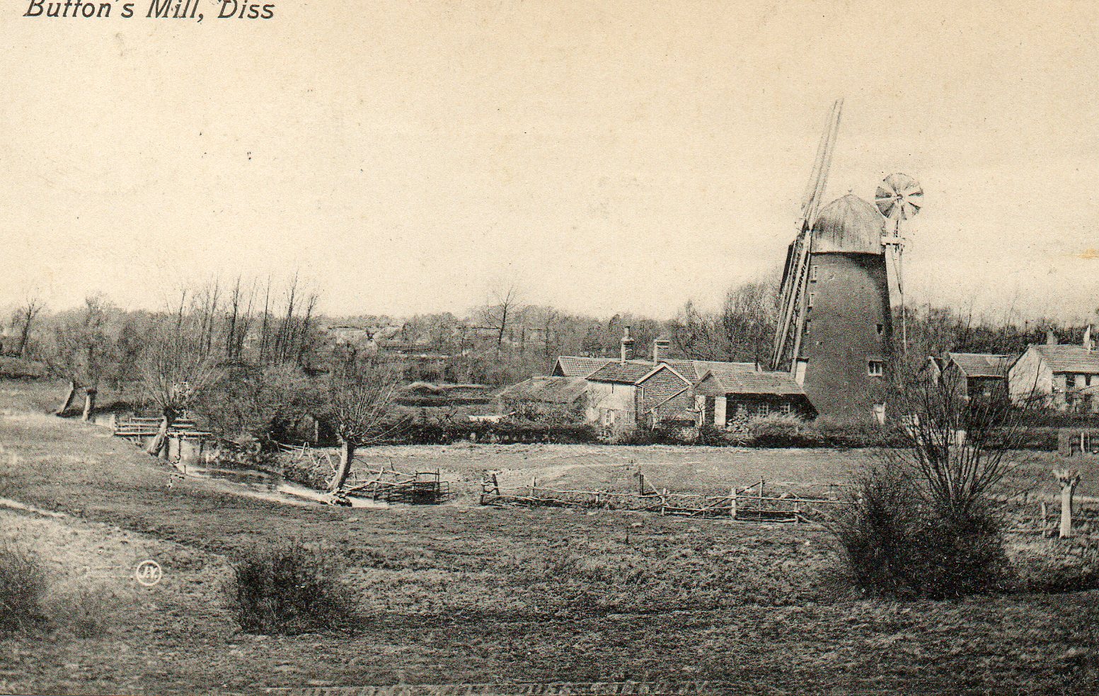
Button's Mill, Diss
Jay's Mill, Button's Mill or Victoria Road Mill is a tower mill at Diss, Norfolk, England which has been truncated and converted to residential accommodation...

Diss High School
Diss High School is a secondary school and sixth form with academy status located in Diss, Norfolk, England. The school has approximately 931 pupils from...
Nearby Amenities
Located within 500m of 52.375963,1.1299881Have you been to Clynt Plantation?
Leave your review of Clynt Plantation below (or comments, questions and feedback).