Four Acre Plantation
Wood, Forest in Norfolk South Norfolk
England
Four Acre Plantation
Four Acre Plantation is a sprawling woodland area located in Norfolk, England. Covering an expanse of approximately four acres, this plantation is a haven for nature enthusiasts and those seeking solace amidst verdant surroundings.
Situated in the heart of Norfolk, Four Acre Plantation is known for its diverse range of trees, including oak, birch, and beech, which create a picturesque landscape throughout the year. The plantation is also home to an array of wildlife, such as deer, rabbits, and a variety of bird species, making it an ideal destination for wildlife enthusiasts and birdwatchers.
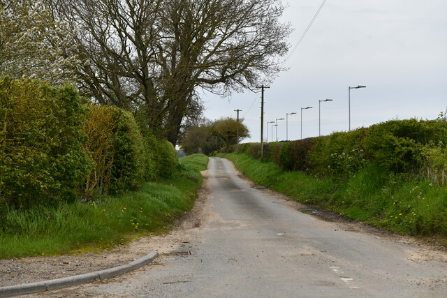
Visitors to Four Acre Plantation can explore the area on foot, following a network of well-maintained trails that wind through the forest. These trails offer stunning views of the surrounding countryside and provide an opportunity to immerse oneself in the tranquility of nature.
The plantation is not only a place of natural beauty but also holds historical significance. The area was once used for timber production, and remnants of old sawmills can still be found within the plantation. These historical features add to the charm and character of the site.
Four Acre Plantation is a popular destination for outdoor activities such as hiking, photography, and picnicking. The well-preserved natural environment provides an ideal backdrop for leisurely walks and exploration. The plantation also offers educational opportunities, with guided tours and informative displays highlighting the importance of woodland conservation.
Overall, Four Acre Plantation in Norfolk is a captivating destination for nature lovers, history enthusiasts, and those seeking respite from the hustle and bustle of everyday life. Its diverse flora and fauna, coupled with its historical significance, make it a must-visit location for anyone looking to connect with nature and appreciate the beauty of the English countryside.
If you have any feedback on the listing, please let us know in the comments section below.
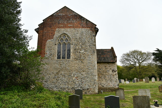
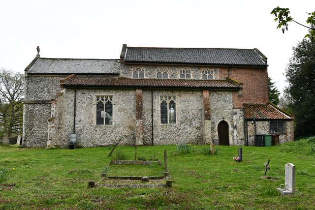
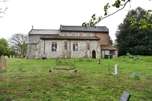
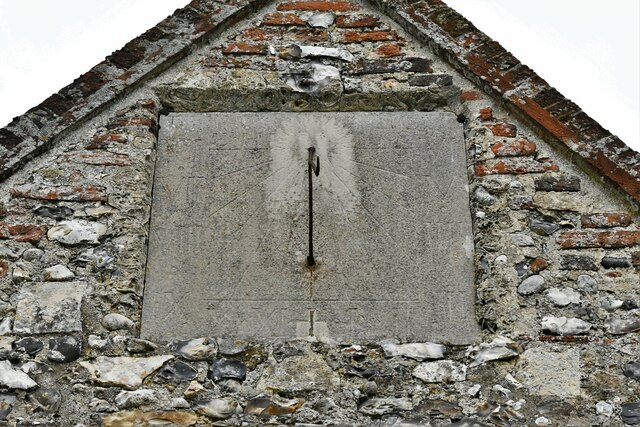
Four Acre Plantation Images
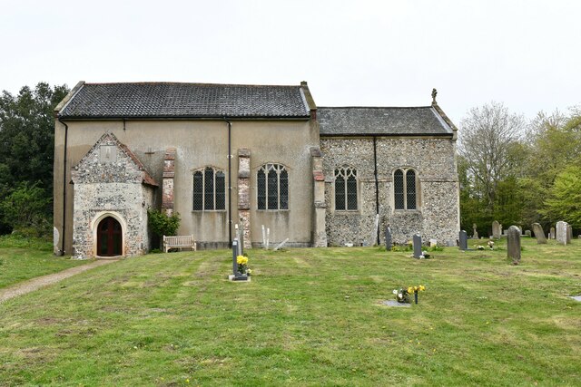
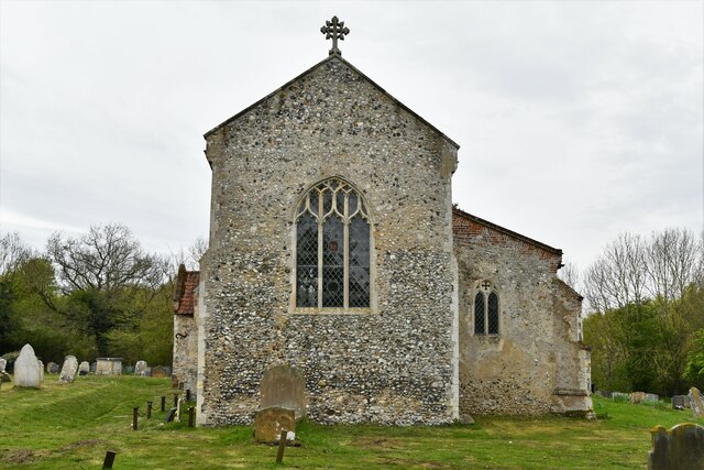
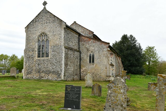
Images are sourced within 2km of 52.651111/1.1484783 or Grid Reference TG1310. Thanks to Geograph Open Source API. All images are credited.
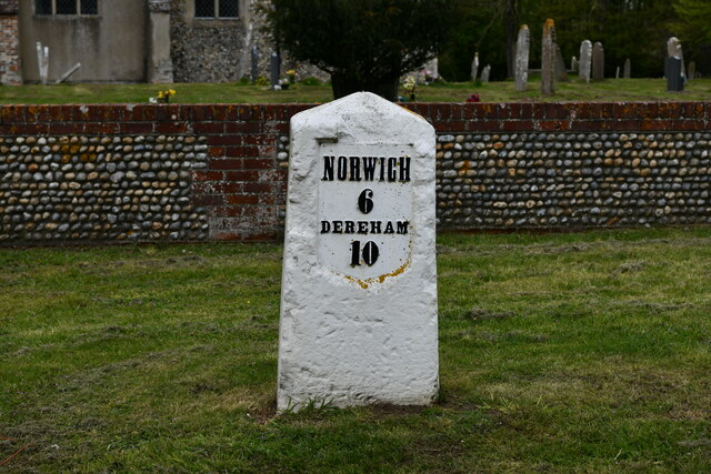


Four Acre Plantation is located at Grid Ref: TG1310 (Lat: 52.651111, Lng: 1.1484783)
Administrative County: Norfolk
District: South Norfolk
Police Authority: Norfolk
What 3 Words
///included.unspoiled.chum. Near Costessey, Norfolk
Nearby Locations
Related Wikis

Easton, Norfolk
Easton is a village and civil parish in the English county of Norfolk. The village is located 6.2 miles (10.0 km) north-west of Norwich and 9 miles (14...
Easton College
Easton College is a college of further and higher education in Norfolk, United Kingdom. It is located on a 200-hectare (490-acre) campus in the village...

Marlingford
Marlingford is a village and former civil parish, 6 miles (9.7 km) west of Norwich, now in the parish of Marlingford and Colton, in the South Norfolk district...
Marlingford and Colton
Marlingford and Colton, formerly Marlingford is a civil parish in the English county of Norfolk, made from the villages of Colton and Marlingford. It covers...
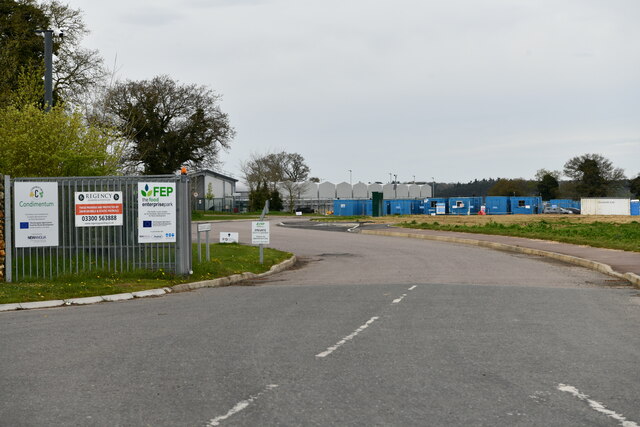
Nearby Amenities
Located within 500m of 52.651111,1.1484783Have you been to Four Acre Plantation?
Leave your review of Four Acre Plantation below (or comments, questions and feedback).