Coppice Wood

Wood, Forest in Kent Shepway

England

Coppice Wood

View towards Hempton Lodge Farm from the North Downs Way
View towards Hempton Lodge Farm from the North Downs Way Credit: Dave Kelly

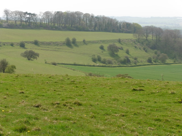
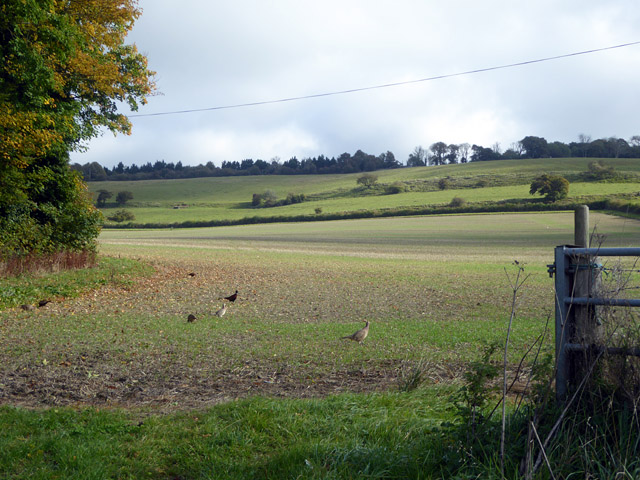
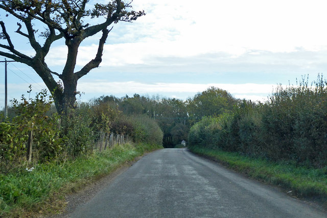
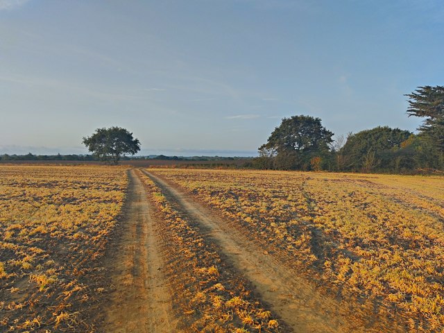
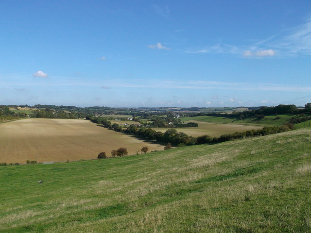
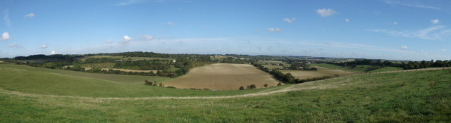
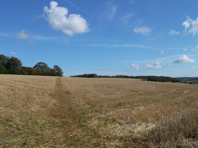
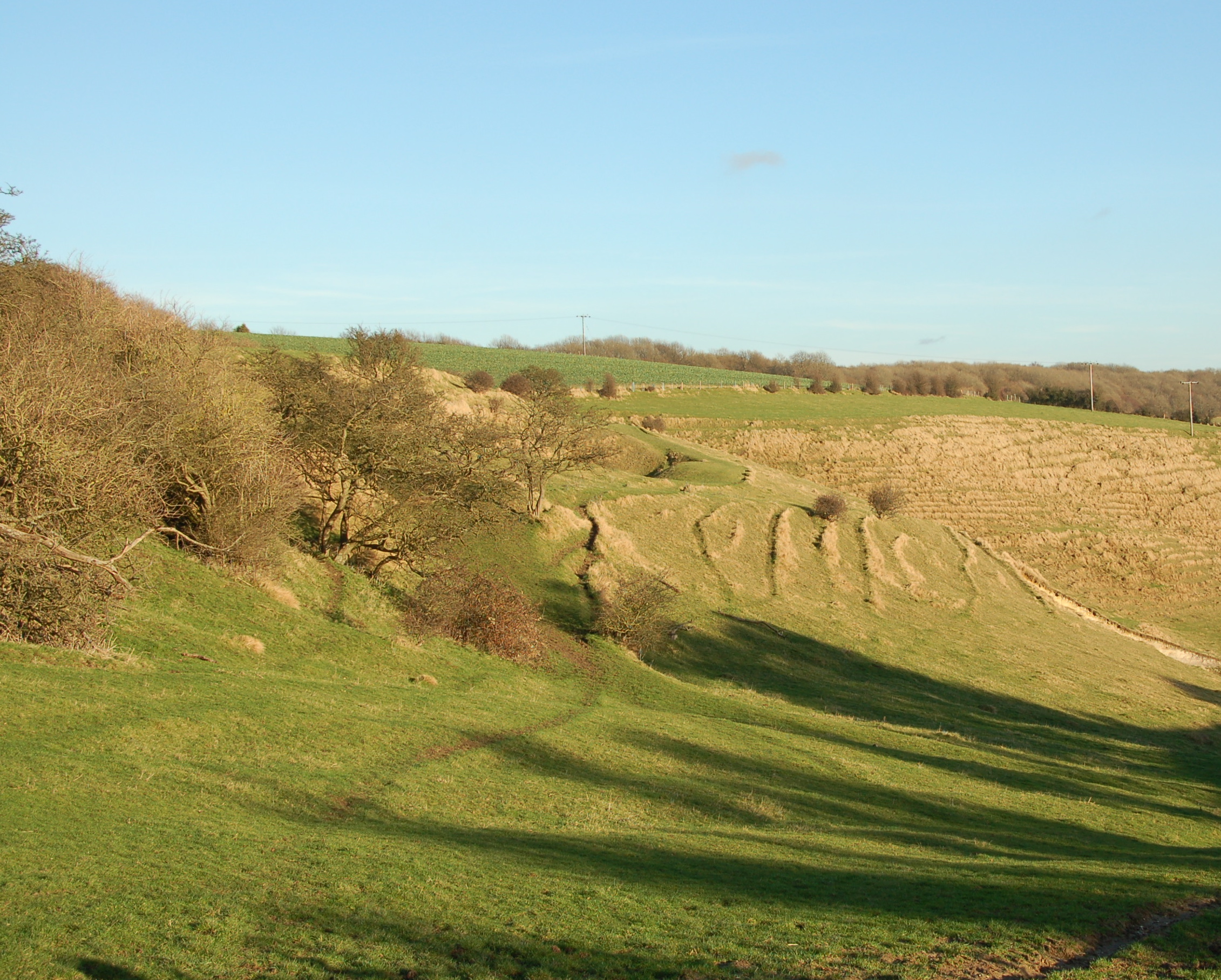
Coppice Wood, located in Kent, England, is a picturesque woodland area renowned for its natural beauty and rich biodiversity. Covering an expansive area of approximately 100 acres, the wood is situated in the heart of the Kent Downs, an Area of Outstanding Natural Beauty.

The wood's name, "Coppice," refers to a traditional forestry practice of regularly cutting trees to encourage new growth and sustainable timber production. This management technique has been employed in Coppice Wood for centuries, resulting in a diverse and thriving ecosystem. The wood primarily consists of broadleaf trees, such as oak, ash, and beech, which provide a dense canopy and create a tranquil and shaded environment.

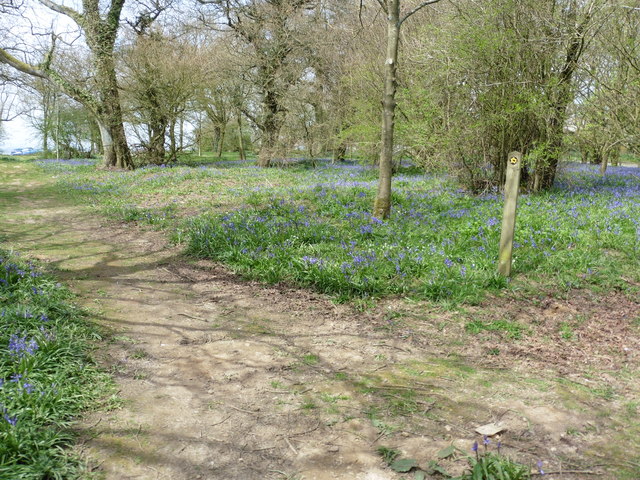
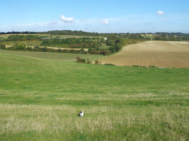
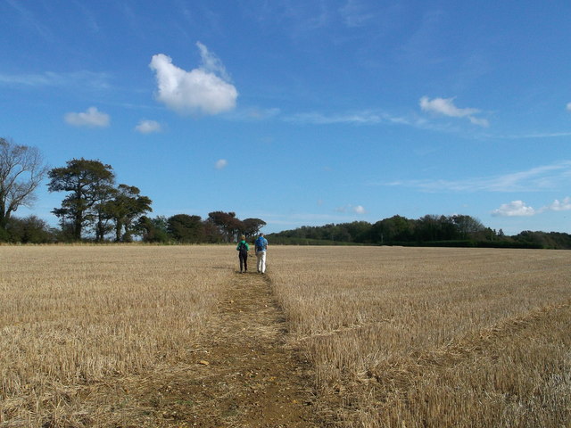
Visitors to Coppice Wood can enjoy a variety of activities. The wood is crisscrossed with numerous well-maintained footpaths, allowing visitors to explore its various sections and discover the hidden gems within. Walking through the wood, one can encounter an array of wildlife, including deer, rabbits, squirrels, and a wide range of bird species.

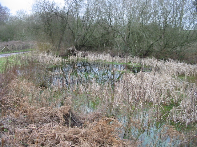
Additionally, Coppice Wood is home to several rare and protected plant species, adding to its ecological significance. The wood is carefully managed to preserve and enhance its biodiversity, with ongoing conservation efforts to protect its delicate ecosystem.

Coppice Wood is a beloved destination for nature enthusiasts, hikers, and photographers alike. Its serene ambiance, diverse flora and fauna, and breathtaking scenery make it a haven for those seeking solace in nature. Whether it's a leisurely stroll, a bird-watching expedition, or simply a moment of tranquility, Coppice Wood offers an unforgettable experience for all who visit.

If you have any feedback on the listing, please let us know in the comments section below.

Coppice Wood Images

Images are sourced within 2km of 51.109998/1.0418655 or Grid Reference TR1338. Thanks to Geograph Open Source API. All images are credited.

View towards Hempton Lodge Farm from the North Downs Way
The North Downs Way on Farthing Common
The North Downs Way at Farthing Common
Country east of Hempton Lodge Farm
Monks Horton church St. Peter's is a grade II*(star) listed building, 13th/14th centuries.
Monks Horton church
St. Peter's is a grade II*(star) listed building, 13th/14th centuries.
Road towards Lyminge and Etchinghill Routes diverge at the end of the straight, Lyminge to the left.
Road towards Lyminge and Etchinghill
Routes diverge at the end of the straight, Lyminge to the left.
Field next to Broad Street Farm House
Farthing Common: view towards Romney Marsh
Farthing Common: evening view towards Straits of Dover
View towards Lyminge As seen from <a href="https://www.geograph.org.uk/photo/3168635">TR1440 : Footpath to Farthing Common</a>.

The village of Lyminge is seen in the valley, near the North Downs.
View towards Lyminge
As seen from TR1440 : Footpath to Farthing Common. The village of Lyminge is seen in the valley, near the North Downs.
View towards Lyminge (2) The village of Lyminge is seen in a valley, near the North Downs
View towards Lyminge (2)
The village of Lyminge is seen in a valley, near the North Downs
Footpath to Skeete Road A path leads down from Farthing Common through a valley beside the North Downs towards a road leading from Lyminge.


Poor Jack is struggling to climb up the valleyside.
Footpath to Skeete Road
A path leads down from Farthing Common through a valley beside the North Downs towards a road leading from Lyminge. Poor Jack is struggling to climb up the valleyside.
Panorama near Farthing Common Looking across a valley near the North Downs, towards the villages of Woodland and Skeete near Lyminge.
Panorama near Farthing Common
Looking across a valley near the North Downs, towards the villages of Woodland and Skeete near Lyminge.
Footpath to Farthing Common This path leads from the North Downs Way (long distance path) towards the road near Postling Wood.

Compare with <a href="https://www.geograph.org.uk/photo/1955915">TR1440 : Golden Wheat Field</a>
Footpath to Farthing Common
This path leads from the North Downs Way (long distance path) towards the road near Postling Wood. Compare with TR1440 : Golden Wheat Field
Footpath to Farthing Common This path leads from the North Downs Way (long distance path) towards the road near Postling Wood.
Footpath to Farthing Common
This path leads from the North Downs Way (long distance path) towards the road near Postling Wood.
B2068 and Entrance to Farthing Common Plant Centre
Farmland and Horton Wood
Southeney Lane
Southeney Lane
Show me another place!

Coppice Wood is located at Grid Ref: TR1338 (Lat: 51.109998, Lng: 1.0418655)

Administrative County: Kent

District: Shepway

Police Authority: Kent

What 3 Words

///shoulders.dumpling.leader. Near Lympne, Kent

Nearby Locations

Coppice Wood

Related Wikis

Stanford, Kent

Stanford is a village and civil parish in Kent, England. It is part of the Folkestone and Hythe district. The village developed along the ancient Roman...

Stanford Windmill

Stanford Windmill is a Grade II* listed tower mill in Stanford, Kent, England that was built in 1857. It stands on Kennett Lane in Stanford. == History... ==

Gibbin's Brook

Gibbin's Brook is a 16.8-hectare (42-acre) biological Site of Special Scientific Interest in Sellindge in Kent.This site is mainly marshy grassland, but...

Farthing Common

Farthing Common is an area of common land about 10 km northwest of Folkestone in East Kent. It is one of the highest points of the North Downs at 185 metres...

Nearby Amenities

Located within 500m of 51.109998,1.0418655
Barrier: stile
Lat/Long: 51.1077516/1.0414235
Barrier: stile
Lat/Long: 51.1067926/1.0465492
Bus Stop
Stone Street Junction
Flag: no
Naptan AtcoCode: 2400A043120A
Naptan Bearing: N
Naptan BusStopType: CUS
Naptan CommonName: Stone Street Junction
Naptan Indicator: N-bound
Naptan NaptanCode: kntdtmtw
Naptan Street: Stone Street
Naptan Verified: no
Public Transport: platform
Source: naptan_import
Lat/Long: 51.1060282/1.041011
Barrier: stile
Lat/Long: 51.1069785/1.0463372
Barrier: stile
Lat/Long: 51.1087966/1.0420238
Power: tower
Lat/Long: 51.1097548/1.0434962
Power: tower
Lat/Long: 51.10805/1.0404453
Power: tower
Lat/Long: 51.1118595/1.0473557
Power: pole
Lat/Long: 51.108393/1.0425863
Power: pole
Lat/Long: 51.1064344/1.0418996
Power: pole
Lat/Long: 51.107588/1.0422295
Power: pole
Lat/Long: 51.1081387/1.0424119
Power: pole
Lat/Long: 51.1081336/1.0425192
The data included in this document is from www.openstreetmap.org. The data is made available under ODbL.

Have you been to Coppice Wood?

Leave your review of Coppice Wood below (or comments, questions and feedback).