Durrell's Clump
Wood, Forest in Norfolk South Norfolk
England
Durrell's Clump
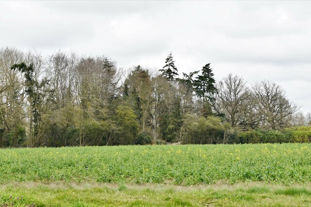
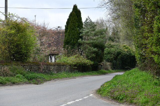
Durrell's Clump is a picturesque woodland located in Norfolk, England. Covering an area of approximately 50 acres, it is nestled within the larger Felbrigg Estate, near the village of Aylmerton. The woodland is known for its natural beauty and diverse array of flora and fauna.
Durrell's Clump is predominantly made up of native broadleaf trees such as oak, beech, and birch, creating a dense canopy that provides shade and shelter for the woodland floor. The forest floor is carpeted with a variety of wildflowers, including bluebells and wood anemones, creating a stunning display during the spring months.
The woodland is also home to a rich and diverse wildlife population. Visitors are likely to spot various bird species, including woodpeckers, tawny owls, and songbirds. Additionally, the forest provides habitat for mammals such as deer, badgers, and foxes, although they may be more elusive and harder to spot.
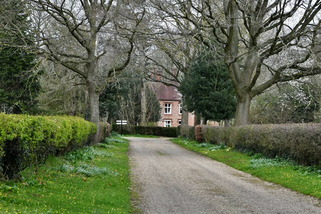
Durrell's Clump offers several well-maintained footpaths and trails, allowing visitors to explore the woodland at their own pace. These paths wind through the forest, offering breathtaking views and opportunities for peaceful walks and nature appreciation. The woodland is also a popular spot for birdwatching and photography enthusiasts.
Managed by the National Trust, Durrell's Clump is open to the public throughout the year, offering a tranquil escape from the hustle and bustle of everyday life. Whether you are a nature lover, a keen walker, or just seeking a moment of tranquility, Durrell's Clump is a must-visit destination in Norfolk.
If you have any feedback on the listing, please let us know in the comments section below.
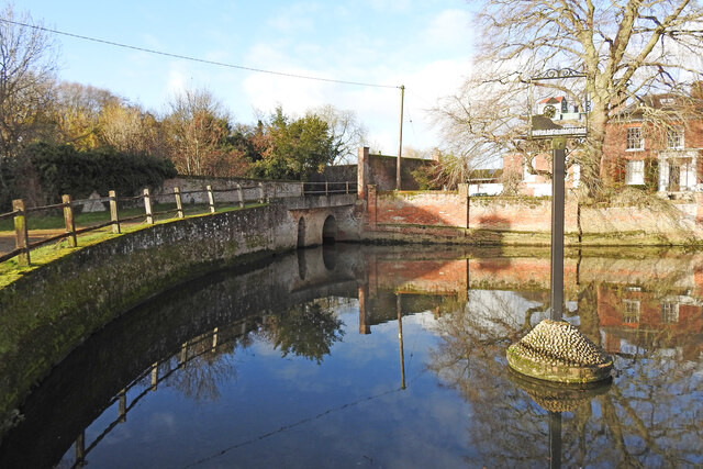
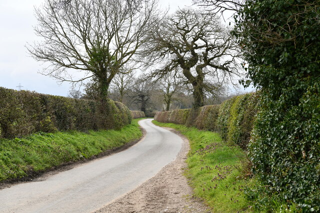
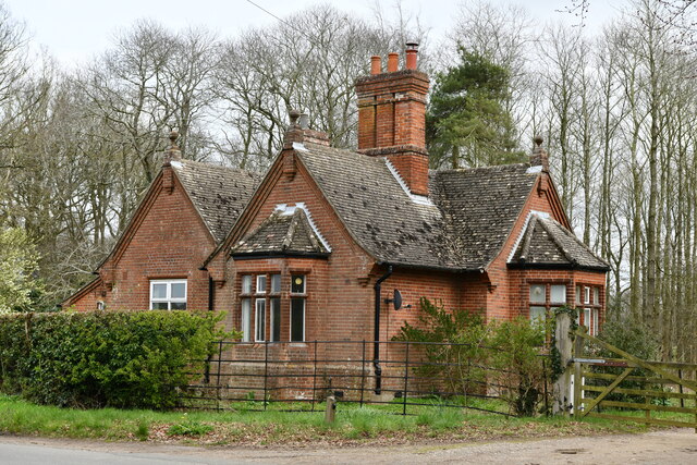
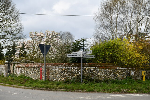
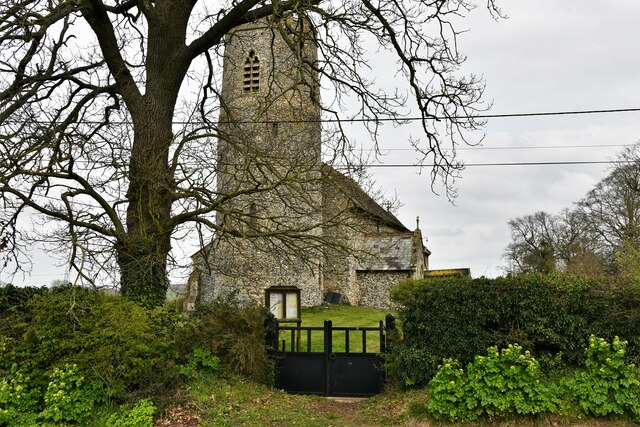
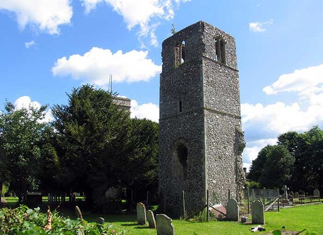
Durrell's Clump Images
Images are sourced within 2km of 52.621532/1.1369552 or Grid Reference TG1207. Thanks to Geograph Open Source API. All images are credited.

Durrell's Clump is located at Grid Ref: TG1207 (Lat: 52.621532, Lng: 1.1369552)
Administrative County: Norfolk
District: South Norfolk
Police Authority: Norfolk
What 3 Words
///inner.acrobats.league. Near Hethersett, Norfolk
Nearby Locations
Related Wikis

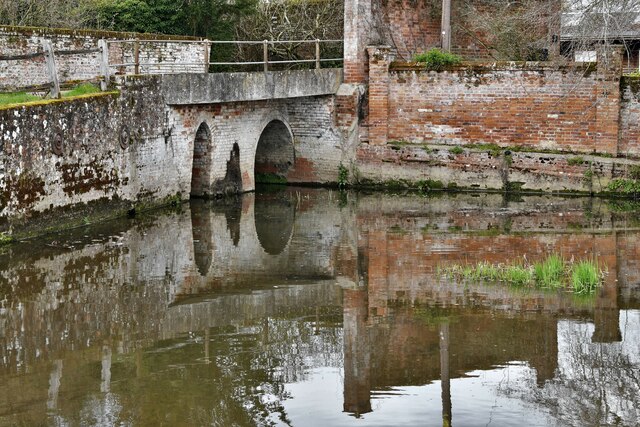
River Tiffey
The River Tiffey is a small river in Norfolk, England and a tributary of the River Yare. It rises near Hethel and passes through Wymondham before flowing...

Barford, Norfolk
Barford is a village and civil parish in the English county of Norfolk, situated some 4 miles (6 km) north of Wymondham and 8 miles (13 km) west of Norwich...

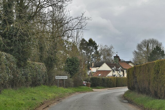
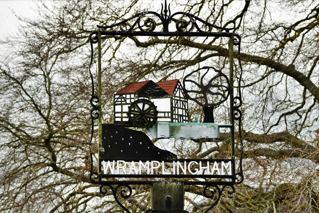
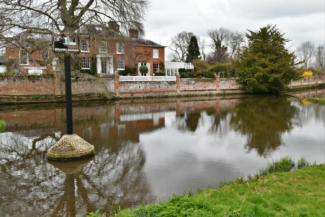
Wramplingham
Wramplingham is a village and civil parish in the English county of Norfolk. It is situated on the River Tiffey some 4 miles (6.4 km) north of Wymondham...
Great Melton
Great Melton is a civil parish in the English county of Norfolk. It covers an area of 10.24 km2 (3.95 sq mi) and had a population of 148 in 59 households...

Marlingford
Marlingford is a village and former civil parish, 6 miles (9.7 km) west of Norwich, now in the parish of Marlingford and Colton, in the South Norfolk district...
Marlingford and Colton
Marlingford and Colton, formerly Marlingford is a civil parish in the English county of Norfolk, made from the villages of Colton and Marlingford. It covers...

Colton, Norfolk
Colton is a village and former civil parish, 8 miles (13 km) west of Norwich, now in the parish of Marlingford and Colton, in the South Norfolk district...
Easton College
Easton College is a college of further and higher education in Norfolk, United Kingdom. It is located on a 200-hectare (490-acre) campus in the village...
Nearby Amenities
Located within 500m of 52.621532,1.1369552Have you been to Durrell's Clump?
Leave your review of Durrell's Clump below (or comments, questions and feedback).