Yockletts Banks
Wood, Forest in Kent Canterbury
England
Yockletts Banks

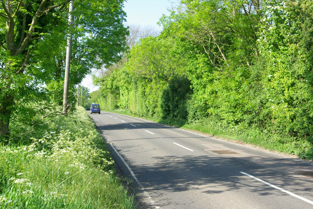
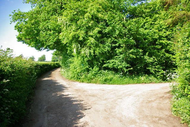
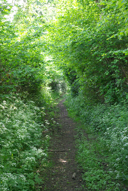
Yockletts Banks is a picturesque woodland area located in Kent, England. Situated near the village of Woodchurch, it is known for its natural beauty and tranquil atmosphere. The woodland covers a vast area, creating a serene environment that is perfect for nature enthusiasts and those seeking a peaceful retreat.
The main feature of Yockletts Banks is its dense forest, which consists of a variety of tree species including oak, beech, and birch. These trees provide a lush canopy that is home to a diverse range of wildlife. Visitors can spot various bird species, such as woodpeckers and owls, as well as small mammals like foxes and squirrels.
The woodland is crisscrossed by a network of well-maintained paths, allowing visitors to explore the area on foot. Walking through Yockletts Banks, one can enjoy the sights and sounds of nature, from the rustling leaves to the soothing melodies of birdsong. The paths also lead to a small stream, adding to the enchantment of the surroundings.
Yockletts Banks is a popular destination for nature walks, photography, and simply enjoying the tranquility of the countryside. It offers a peaceful escape from the hustle and bustle of everyday life, providing a space for relaxation and reflection. Whether visiting for a short stroll or a longer hike, Yockletts Banks offers a captivating experience for all who venture into its woodland embrace.
If you have any feedback on the listing, please let us know in the comments section below.
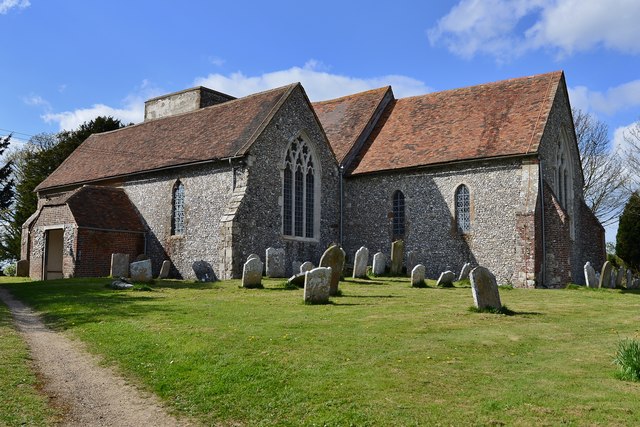
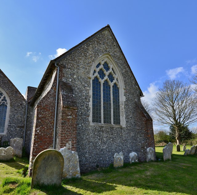
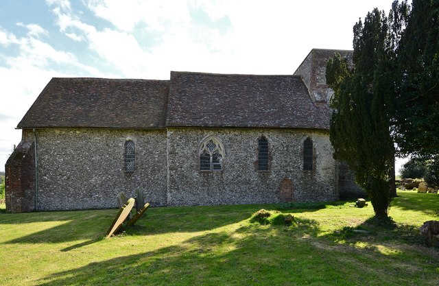
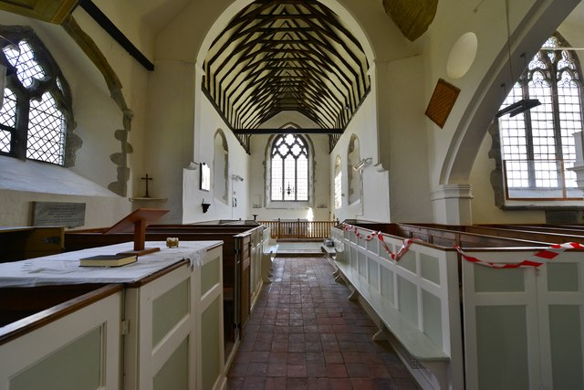
Yockletts Banks Images
Images are sourced within 2km of 51.191161/1.0386077 or Grid Reference TR1247. Thanks to Geograph Open Source API. All images are credited.


Yockletts Banks is located at Grid Ref: TR1247 (Lat: 51.191161, Lng: 1.0386077)
Administrative County: Kent
District: Canterbury
Police Authority: Kent
What 3 Words
///headset.comically.respond. Near Wye, Kent
Nearby Locations
Related Wikis

Yockletts Bank
Yockletts Bank is a 25.4-hectare (63-acre) biological Site of Special Scientific Interest west of Stelling Minnis in Kent. It is managed by KWT and is...

Waltham, Kent
Waltham is a village and civil parish 7 miles (11 km) southwest of Canterbury in Kent, England. == History == The village was once associated with the...

Stelling Minnis
Stelling Minnis is a village and civil parish in the Folkestone and Hythe district in Kent, England. The village lies 13 kilometres (8 mi) to the south...

Anvil Green
Anvil Green is a small settlement located near Waltham in Kent, England, about nine miles (14.4 km) north east of Ashford. == External links == Media...

Spong Wood
Spong Wood is a 18-hectare (44-acre) nature reserve west of Stelling Minnis in Kent. It is managed by Kent Wildlife Trust.Common trees in this coppiced...
Davison's Mill, Stelling Minnis
Davison's Mill, also known as Stelling Minnis Windmill, is a Grade I listed smock mill in Stelling Minnis, Kent, England that was built in 1866. It was...

Bossingham
Bossingham is a village in the parish of Upper Hardres and the district of the City of Canterbury, Kent, England. It is located about five miles (8 km...

Park Gate Down
Park Gate Down or Parkgate Down is a 7-hectare (17-acre) biological Site of Special Scientific Interest south-east of Stelling Minnis in Kent. It is also...
Nearby Amenities
Located within 500m of 51.191161,1.0386077Have you been to Yockletts Banks?
Leave your review of Yockletts Banks below (or comments, questions and feedback).