Marlpit Belt

Wood, Forest in Norfolk Broadland

England

Marlpit Belt

The Church of St Peter and St Paul at Oulton Church and churchyard
The Church of St Peter and St Paul at Oulton Credit: P Gaskell

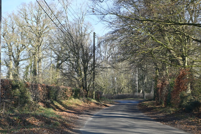
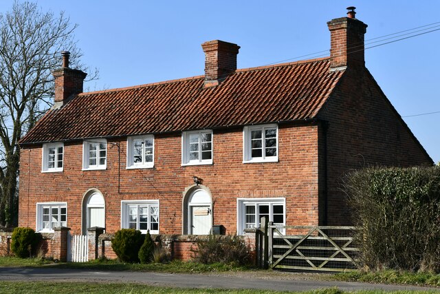
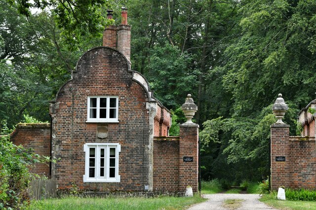
Marlpit Belt, located in Norfolk, England, is a picturesque wood that forms part of Marlpit Farm. This tranquil forest is known for its dense vegetation and diverse wildlife, making it a popular destination for nature enthusiasts and hikers alike.

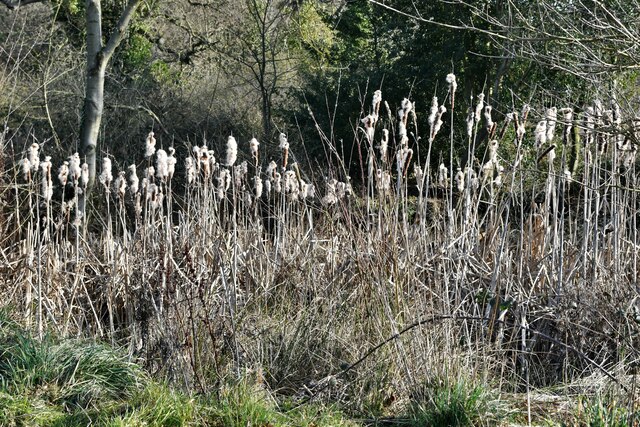
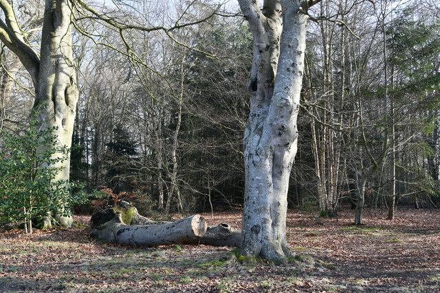
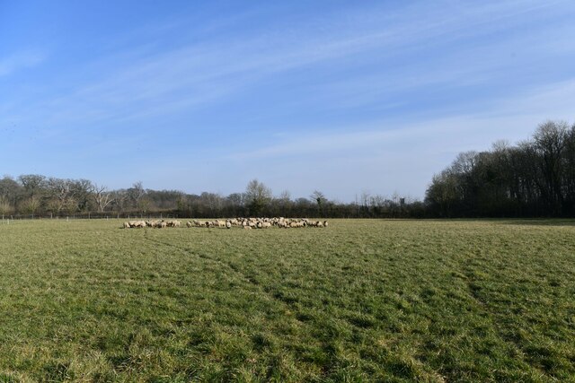
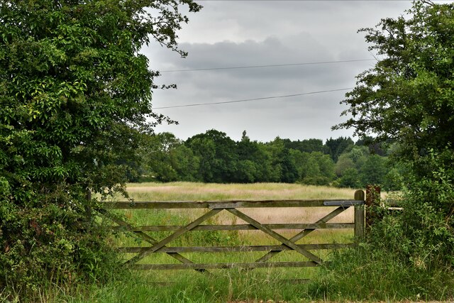
Covering an area of approximately 20 hectares, Marlpit Belt is primarily composed of deciduous trees such as oak, beech, and birch, which create a beautiful canopy overhead. The forest floor is carpeted with an array of plants, including bluebells, wild garlic, and ferns, adding to the enchanting atmosphere.

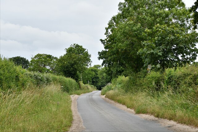
The woodland is crisscrossed by a network of well-maintained footpaths, allowing visitors to explore the area at their own pace. These paths wind through the forest, offering stunning views of the surrounding countryside and providing opportunities for birdwatching. Common sightings include woodpeckers, owls, and various species of songbirds.

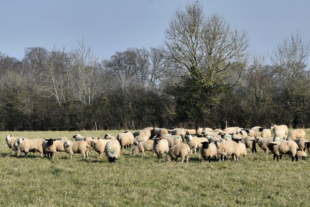
Marlpit Belt is also home to a variety of mammal species, including deer, rabbits, and foxes. The forest provides a vital habitat for these animals, offering shelter and an abundant food supply. In addition, the presence of a small stream running through the wood further enhances the ecosystem, providing water sources for the local wildlife.

With its peaceful ambiance and natural beauty, Marlpit Belt offers a welcome respite from the hustle and bustle of everyday life. Whether it's a leisurely stroll or a more adventurous hike, this woodland gem provides a perfect escape for anyone seeking a connection with nature.

If you have any feedback on the listing, please let us know in the comments section below.
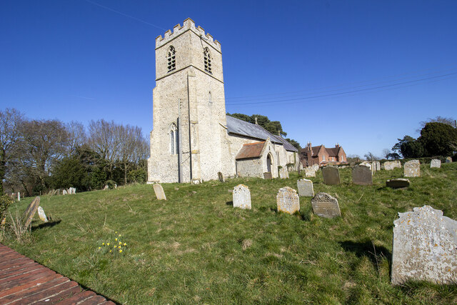
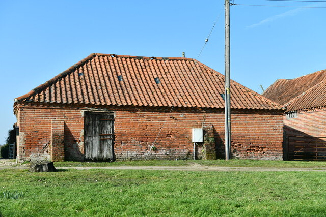
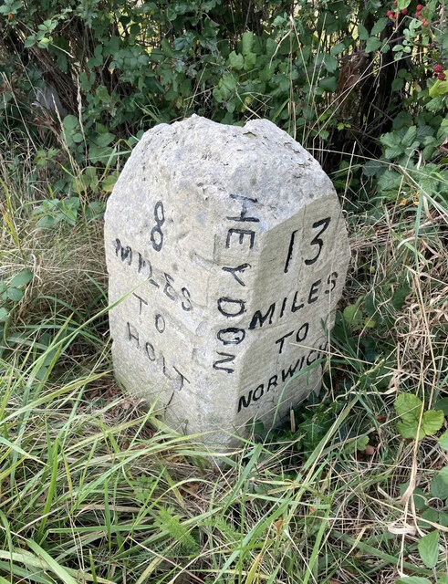
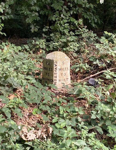
Marlpit Belt Images

Images are sourced within 2km of 52.80303/1.1482315 or Grid Reference TG1227. Thanks to Geograph Open Source API. All images are credited.

The Church of St Peter and St Paul at Oulton Church and churchyard
The Church of St Peter and St Paul at Oulton
Church and churchyard
Spink's Lane Spink's Lane public right of way
Spink's Lane
Spink's Lane public right of way
Heydon: Home Farm
Heydon: Home Farm
Heydon: Reeds verging a pond
Heydon: Old Common
Heydon: Old Common
Heydon: Corpusty Road
Heydon: Holly Grove Farmhouse
Heydon: Sheep in a large field
Heydon: Watery Lane
Heydon: Watery Lane
Heydon: Corpusty Lodges
Heydon Road
Heydon Road
Heydon Road: Gated field
Old Milestone by the B1149, south west of Oulton Carved stone post by the B1149, in parish of Heydon (Broadland District), about 250yds South of lodge to Heydon Hall, on the verge backed by field, on West side of road. Holt diamond, erected by an unknown authority in the 18th century. 

Inscription reads:-
: 8 / MILES / TO / HOLT : : HEYDON : : 13 / MILES / TO / NORWICH : 
Carved benchmark on top noted in 1984, but removed by damage.

Norfolk HER listed.
NHER Number: 56454 <span class="nowrap"><a title="https://www.heritagegateway.org.uk/Gateway/Results_Single.aspx?uid=MNF62864&resourceID=1002" rel="nofollow ugc noopener" href="https://www.heritagegateway.org.uk/Gateway/Results_Single.aspx?uid=MNF62864&resourceID=1002">Link</a><img style="margin-left:2px;" alt="External link" title="External link - shift click to open in new window" src="https://s1.geograph.org.uk/img/external.png" width="10" height="10"/></span>

Milestone Society National ID: NO_NH13
Old Milestone by the B1149, south west of Oulton
Carved stone post by the B1149, in parish of Heydon (Broadland District), about 250yds South of lodge to Heydon Hall, on the verge backed by field, on West side of road. Holt diamond, erected by an unknown authority in the 18th century. Inscription reads:- : 8 / MILES / TO / HOLT : : HEYDON : : 13 / MILES / TO / NORWICH : Carved benchmark on top noted in 1984, but removed by damage. Norfolk HER listed. NHER Number: 56454 LinkExternal link Milestone Society National ID: NO_NH13
Old Milestone by the B1149, Bluestone Plantation, Cawston Parish Carved stone post by the B1149, in parish of CAWSTON (BROADLAND District), 3yds North of junction with road to Heydon, on bank behind ditch, on East side of road. Holt diamond, erected by an unknown authority in the 19th century. 

Inscription reads:- : 12 / MILES / TO / NORWICH : : CAWSTON : : 9 / MILES / TO / HOLT : 

Milestone Society National ID: NO_NH12.
Old Milestone by the B1149, Bluestone Plantation, Cawston Parish
Carved stone post by the B1149, in parish of CAWSTON (BROADLAND District), 3yds North of junction with road to Heydon, on bank behind ditch, on East side of road. Holt diamond, erected by an unknown authority in the 19th century. Inscription reads:- : 12 / MILES / TO / NORWICH : : CAWSTON : : 9 / MILES / TO / HOLT : Milestone Society National ID: NO_NH12.
Crossroads on Heydon Road <span class="nowrap"><a title="https://en.wikipedia.org/wiki/Heydon,_Norfolk" rel="nofollow ugc noopener" href="https://en.wikipedia.org/wiki/Heydon,_Norfolk">Link</a><img style="margin-left:2px;" alt="External link" title="External link - shift click to open in new window" src="https://s1.geograph.org.uk/img/external.png" width="10" height="10"/></span>
Crossroads on Heydon Road
St Peter & St Paul, Heydon
Show me another place!

Marlpit Belt is located at Grid Ref: TG1227 (Lat: 52.80303, Lng: 1.1482315)

Administrative County: Norfolk

District: Broadland

Police Authority: Norfolk

What 3 Words

///crust.trickles.spoon. Near Cawston, Norfolk

Related Wikis

Nearby Amenities

Located within 500m of 52.80303,1.1482315
Barrier: cattle_grid
Lat/Long: 52.806238/1.151773
Power: pole
Lat/Long: 52.8005668/1.1536838
Power: pole
Lat/Long: 52.8016339/1.1538005
Power: pole
Lat/Long: 52.8027298/1.1539231
Power: pole
Lat/Long: 52.8037987/1.1540517
Power: pole
Lat/Long: 52.8048964/1.1541804
Barrier: cattle_grid
Lat/Long: 52.8043156/1.1424811
Barrier: bollard
Bicycle: private
Bollard: rising
Foot: permissive
Horse: private
Material: metal
Motor Vehicle: private
Lat/Long: 52.804314/1.1424259
The data included in this document is from www.openstreetmap.org. The data is made available under ODbL.

Have you been to Marlpit Belt?

Leave your review of Marlpit Belt below (or comments, questions and feedback).