Buxton Wood

Wood, Forest in Suffolk Babergh

England

Buxton Wood

Lane towards Tattingstone
Lane towards Tattingstone Credit: Robin Webster

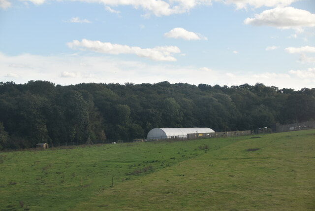
Buxton Wood, located in Suffolk, England, is a charming and picturesque forest that covers an area of approximately 150 hectares. It is situated near the village of Buxton and is managed by the Forestry Commission. The woodland is easily accessible and popular among locals and visitors alike.

Buxton Wood boasts a diverse range of tree species, including oak, beech, birch, and pine, which create a rich and vibrant ecosystem. The forest floor is adorned with an array of wildflowers, ferns, and mosses, adding to its natural beauty. The wood is home to a variety of wildlife, including deer, foxes, badgers, and numerous species of birds. Nature enthusiasts can enjoy observing these creatures in their natural habitat.

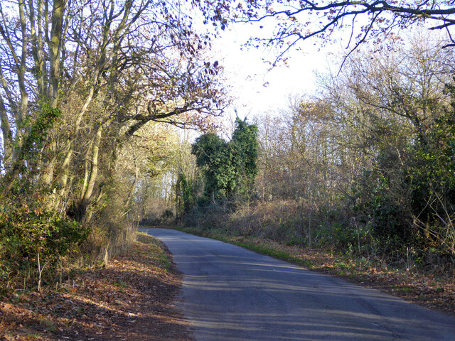
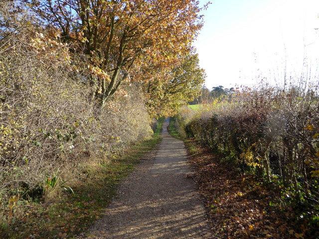
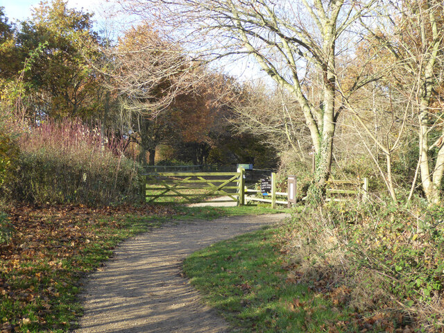
The forest offers a network of well-maintained paths and trails, making it an ideal location for walking, hiking, and cycling. Visitors can explore the wood at their own pace while immersing themselves in the tranquil atmosphere. Additionally, there are several picnic spots throughout the forest, allowing visitors to rest and enjoy a packed lunch amidst the stunning surroundings.

Buxton Wood is not only a haven for nature lovers but also serves as an educational resource. The Forestry Commission provides guided walks and educational programs for schools and interested individuals. These activities aim to foster a deeper understanding and appreciation for the forest ecosystem and its conservation.

Overall, Buxton Wood offers a delightful escape into nature, providing a serene and peaceful setting for outdoor activities and exploration.

If you have any feedback on the listing, please let us know in the comments section below.
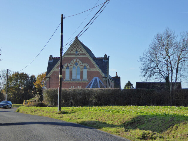
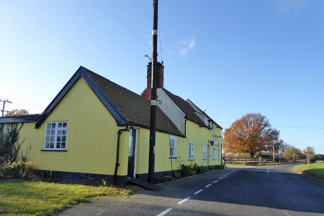
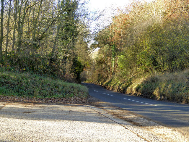
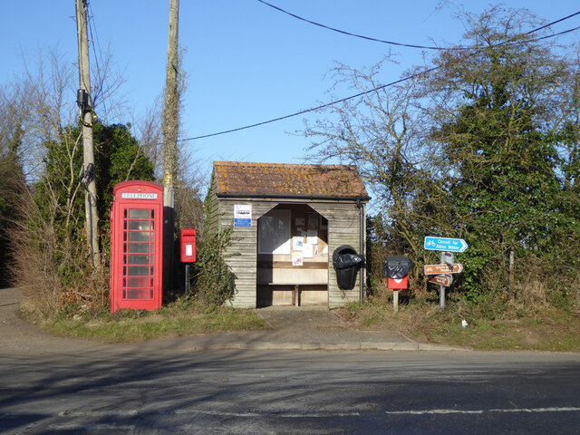
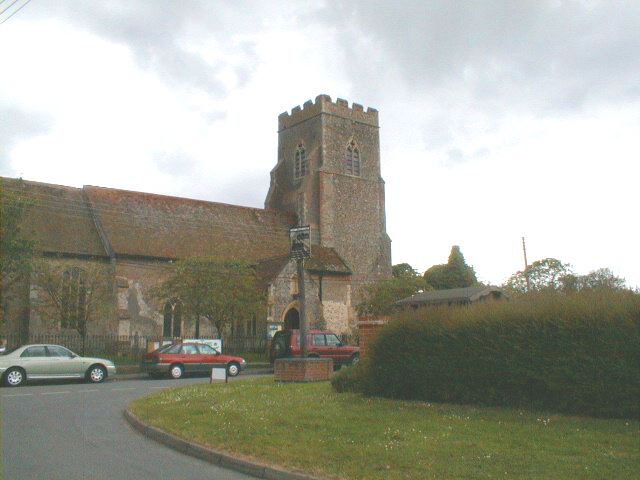
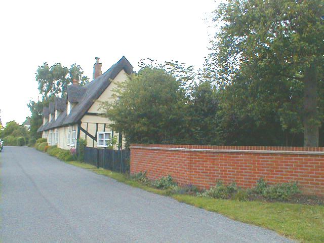
Buxton Wood Images

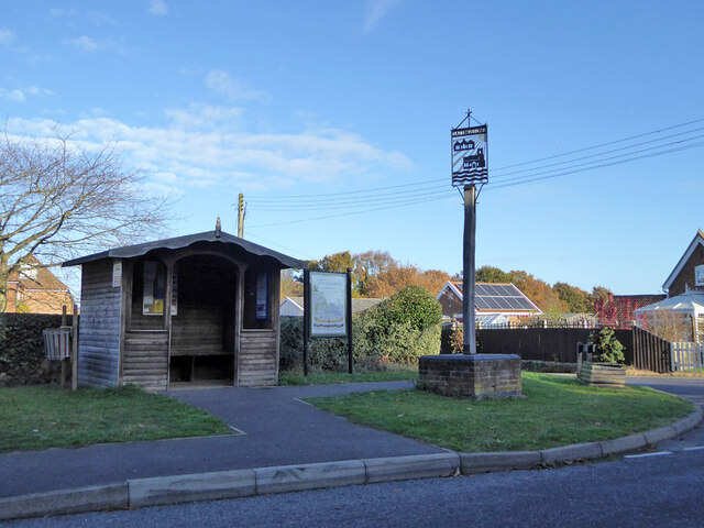
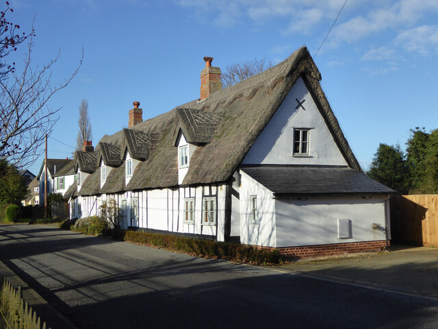
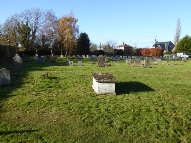
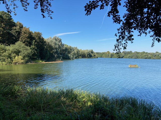
Images are sourced within 2km of 51.992167/1.0907649 or Grid Reference TM1237. Thanks to Geograph Open Source API. All images are credited.

Lane towards Tattingstone
Cycle path around Alton Water Over this part rather removed from watery views.
Cycle path around Alton Water
Over this part rather removed from watery views.
Cycle path around Alton Water A car park is ahead.
Cycle path around Alton Water
A car park is ahead.
The Tattingstone Wonder The local squire decided he didn't like the look of some cottages when viewed from his seat, so had built a sham church to disguise them. The tower has only three sides, and the trick is revealed when viewed from the other side. The churchification dates from about 1790, a grade II*(star) listed building.
The Tattingstone Wonder
The local squire decided he didn't like the look of some cottages when viewed from his seat, so had built a sham church to disguise them. The tower has only three sides, and the trick is revealed when viewed from the other side. The churchification dates from about 1790, a grade II*(star) listed building.
Bus shelter, village sign and information, Tattingstone
Cottages, Church Road, Tattingstone A grade II listed building, 17th century.
Cottages, Church Road, Tattingstone
A grade II listed building, 17th century.
Weathervane, Tattingstone church The church is much older than 1813, although the 'tower has been much restored and repaired'.
Weathervane, Tattingstone church
The church is much older than 1813, although the 'tower has been much restored and repaired'.
Graveyard, Tattingstone
Former Methodist chapel, Tattingstone Now residential.
Former Methodist chapel, Tattingstone
Now residential.
The Wheatsheaf,  Church Road, Tattingstone
The Wheatsheaf, Church Road, Tattingstone
Station Road towards Bentley
Tattingstone White Horse bus stop Complete with all the usual village add-ons.
Tattingstone White Horse bus stop
Complete with all the usual village add-ons.
Inn sign, White Horse, Tattingstone White Horse
Tattingstone, St Mary the Virgin
Lower Meadows Farm
Lower Meadows Farm
Alton Water
Alton Water
Tattingstone Church It's in a lovely village, 6 miles from Ipswich.
Tattingstone Church
It's in a lovely village, 6 miles from Ipswich.
Row of thatched cottages in Tattingstone
Show me another place!

Buxton Wood is located at Grid Ref: TM1237 (Lat: 51.992167, Lng: 1.0907649)

Administrative County: Suffolk

District: Babergh

Police Authority: Suffolk

What 3 Words

///increases.mincing.rotations. Near Capel St Mary, Suffolk

Nearby Locations

Alder Carr Buxton Wood

Related Wikis

Bentley railway station (Suffolk)

Bentley railway station, also known as Bentley Junction between 1849 and 1878, was located in Bentley, Suffolk on the Great Eastern Main Line. It opened...

Bentley Church railway station

Bentley Church railway station was located in Suffolk, the village of Bentley. It was situated between the stations of Hadleigh and Manningtree, 1+1⁄4...

Tattingstone

Tattingstone is a village and civil parish in Suffolk, England. It is situated on the Shotley peninsula, about 5 miles (8 km) south of Ipswich. The 2011...

Bentley, Suffolk

Bentley is a village and civil parish in the Babergh district of Suffolk, England, about 6 miles (10 km) southwest of Ipswich. The 2011 Census recorded...

Nearby Amenities

Located within 500m of 51.992167,1.0907649
Power: tower
Lat/Long: 51.9907109/1.0883651
Power: tower
Lat/Long: 51.9965806/1.090688
Power: tower
Lat/Long: 51.9935583/1.0894916
Power: pole
Lat/Long: 51.9888627/1.0860775
Power: pole
Lat/Long: 51.9926566/1.0944219
Power: pole
Lat/Long: 51.9908828/1.0924343
Power: pole
Lat/Long: 51.9918027/1.0934563
Power: pole
Lat/Long: 51.989236/1.0892237
Power: pole
Lat/Long: 51.9894144/1.0908116
Power: pole
Lat/Long: 51.9930827/1.0976003
Power: pole
Lat/Long: 51.9928631/1.0959722
Power: pole
Lat/Long: 51.990014/1.0914634
Power: pole
Lat/Long: 51.9930496/1.0973052
Bentley
Historic Railway: station
Old Name: Bentley Junction
Railway: site
Source: OS7
Wikidata: Q15198443
Wikipedia: en:Bentley railway station (Suffolk)
Lat/Long: 51.9893367/1.0854639
Railway: crossing
Lat/Long: 51.9947015/1.0890783
Railway: crossing
Lat/Long: 51.9946824/1.0891597
Ford: yes
Lat/Long: 51.9944964/1.0899555
Railway: crossing
Lat/Long: 51.9916683/1.0867433
Railway: crossing
Lat/Long: 51.9916475/1.0868178
The data included in this document is from www.openstreetmap.org. The data is made available under ODbL.

Have you been to Buxton Wood?

Leave your review of Buxton Wood below (or comments, questions and feedback).