Foxcote
Settlement in Somerset Mendip
England
Foxcote
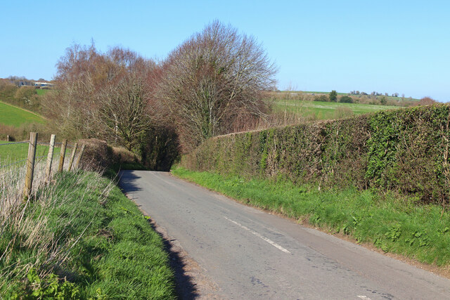
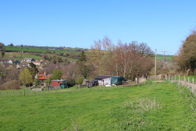
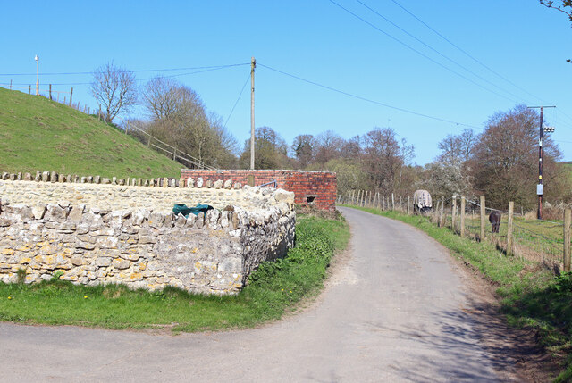
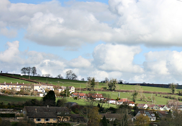
Foxcote is a small village located in the county of Somerset, England. It is situated approximately 5 miles to the east of the town of Taunton, and is surrounded by picturesque countryside. The village is known for its tranquil and rural setting, making it an ideal destination for those seeking a peaceful retreat.
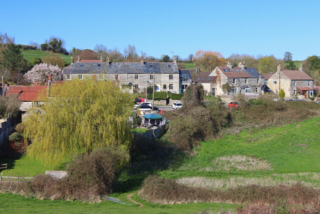
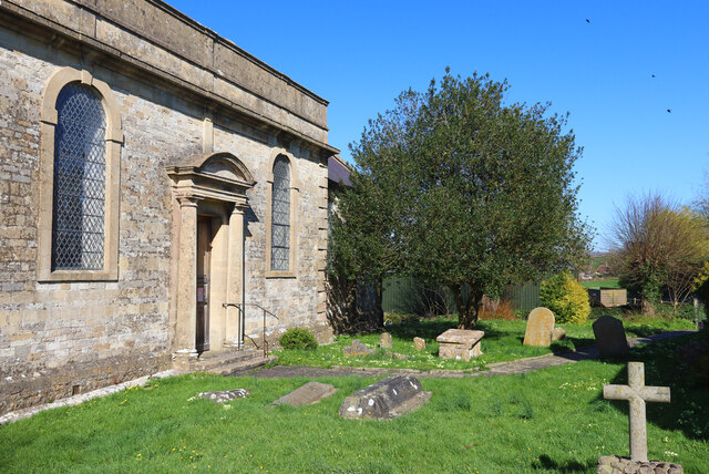
The village is characterized by its charming cottages, many of which date back several centuries, giving Foxcote a sense of history and heritage. The architecture reflects the traditional Somerset style, with thatched roofs and stone walls adding to its quaint appeal. The village is also home to a beautiful parish church, St. Mary’s, which stands as a prominent landmark within the community.
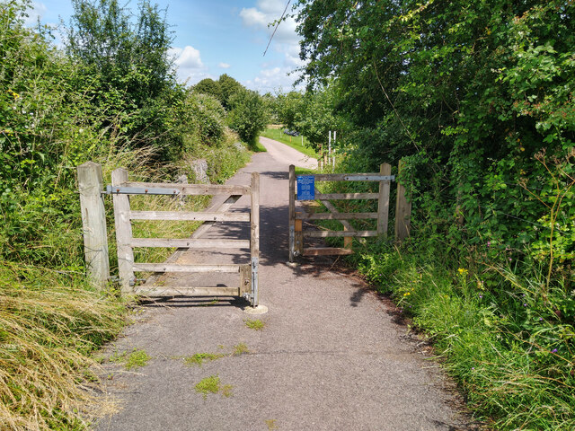
Despite its small size, Foxcote offers a range of amenities for its residents and visitors. There is a local pub, The Fox and Hounds, which serves traditional British fare and provides a friendly gathering place for villagers. The surrounding countryside provides ample opportunities for outdoor activities, such as walking and cycling, with numerous footpaths and trails to explore.
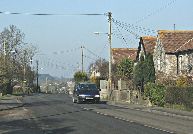
Foxcote is well-connected to nearby towns and cities, with regular bus services and easy access to major road networks. This makes it an attractive location for those who wish to enjoy the tranquility of village life while remaining within reach of urban conveniences.
Overall, Foxcote, Somerset is a picturesque village that offers a peaceful and idyllic setting for residents and visitors alike.
If you have any feedback on the listing, please let us know in the comments section below.
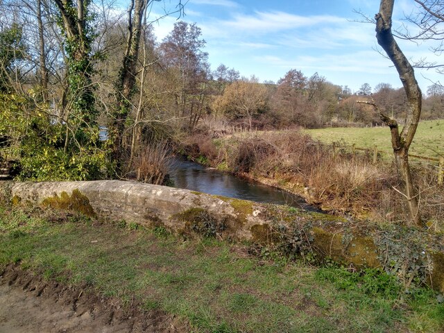
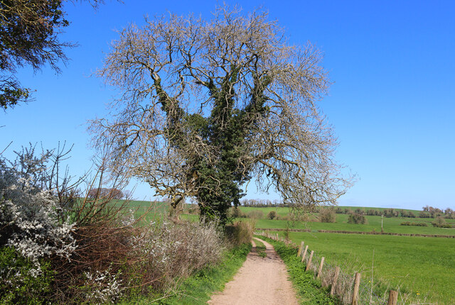
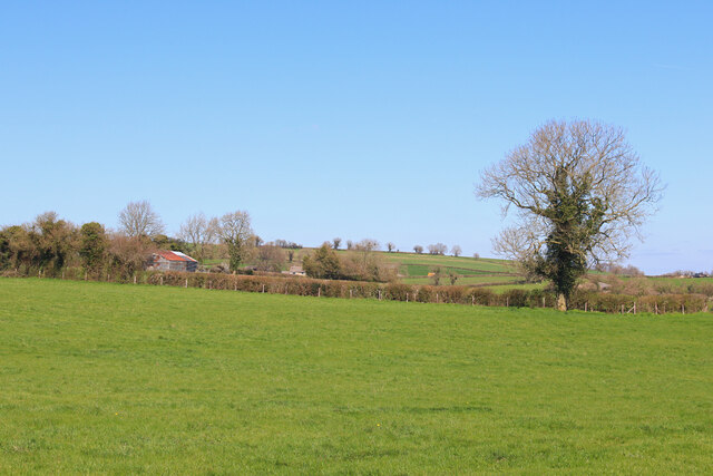
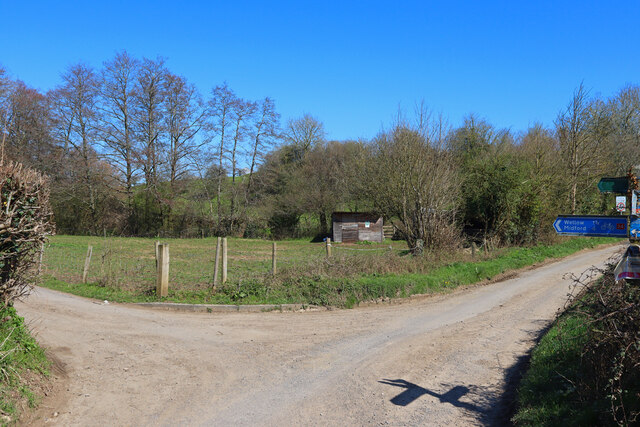
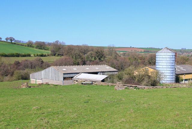
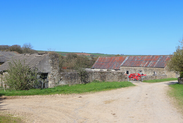
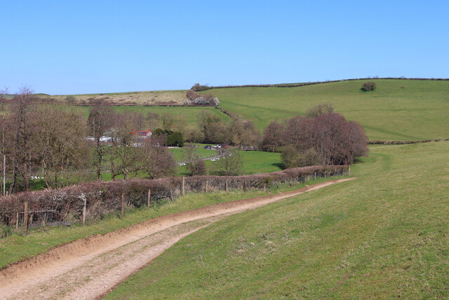
Foxcote Images
Images are sourced within 2km of 51.299248/-2.407483 or Grid Reference ST7155. Thanks to Geograph Open Source API. All images are credited.


Foxcote is located at Grid Ref: ST7155 (Lat: 51.299248, Lng: -2.407483)
Administrative County: Somerset
District: Mendip
Police Authority: Avon and Somerset
What 3 Words
///inherits.faded.menswear. Near Peasedown St John, Somerset
Nearby Locations
Related Wikis

Church of St James The Less, Foxcote
The Anglican Church of St James The Less in Foxcote, within the English county of Somerset, was rebuilt in the early 18th century incorporating a 15th...

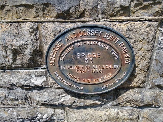
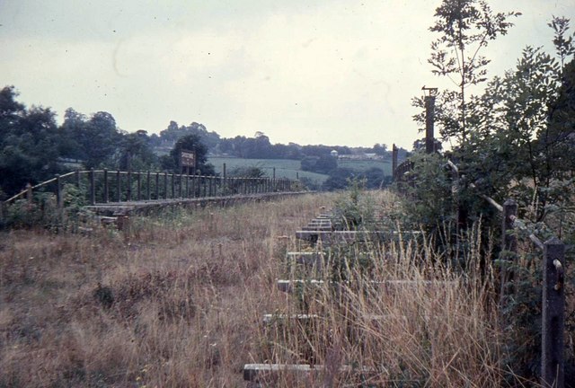
Radstock rail accident
The Radstock rail accident took place on the Somerset and Dorset Joint Railway in south west England, on 7 August 1876. Two trains collided on a single...
Shoscombe
Shoscombe is a small village and civil parish in the valley of the Wellow Brook in north-east Somerset, about 7 miles (11 km) south of Bath, England. The...
Shoscombe and Single Hill Halt railway station
Shoscombe & Single Hill Halt was a small railway station on the Somerset and Dorset Joint Railway serving small villages between Wellow and Radstock, about...

Writhlington SSSI
Writhlington SSSI (grid reference ST703553) is a 0.5 hectare geological Site of Special Scientific Interest near the town of Radstock, Bath and North East...
Writhlington School
Writhlington School is a secondary school for pupils aged 11–18 in Writhlington, Bath and North East Somerset, England. It is the main secondary school...
Writhlington
Writhlington is a suburb of Radstock and 6 miles (10 km) north-west of Frome in the Bath and North East Somerset district of Somerset, England. == History... ==

Peasedown St John
Peasedown St John (commonly referred to as Peasedown) is a village and civil parish in Somerset, England, standing on a hilltop roughly 5 miles (8 km)...
Nearby Amenities
Located within 500m of 51.299248,-2.407483Have you been to Foxcote?
Leave your review of Foxcote below (or comments, questions and feedback).