Brickklin Grove
Wood, Forest in Essex Tendring
England
Brickklin Grove

Brickklin Grove is a quaint and picturesque village located in Essex, England. Nestled within a dense woodland, it is part of the larger Wood Forest region, known for its lush greenery and natural beauty. The village sits on the banks of the River Brickklin, which adds to its charm and provides residents with a tranquil setting.
With a population of around 500 residents, Brickklin Grove maintains a close-knit community feel. The village is characterized by its traditional brick cottages and historic buildings, showcasing the area's rich heritage. The architecture reflects a blend of Tudor and Georgian influences, creating a visually pleasing atmosphere.
Residents of Brickklin Grove benefit from a range of amenities, including a local pub, village hall, and a small convenience store. The village is also home to a primary school, providing education for local children.
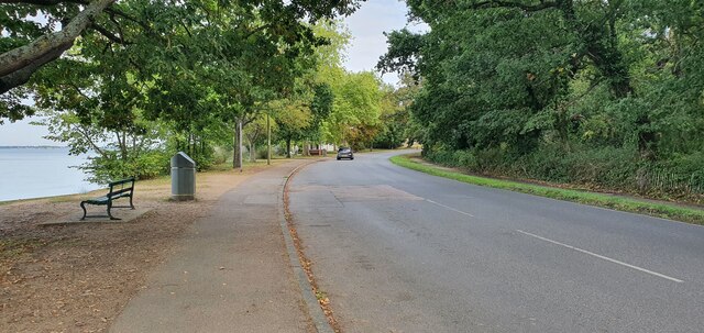
Nature enthusiasts are spoiled for choice in Brickklin Grove, with an abundance of walking trails and cycling routes crisscrossing the surrounding woodlands. The Wood Forest itself offers a haven for wildlife, with numerous species of birds and mammals calling this area home.
For those seeking a peaceful and idyllic rural lifestyle, Brickklin Grove provides a perfect retreat. Its proximity to larger towns such as Chelmsford and Brentwood ensures access to more extensive amenities and transport links, making it an appealing choice for both families and retirees alike.
If you have any feedback on the listing, please let us know in the comments section below.
Brickklin Grove Images
Images are sourced within 2km of 51.930366/1.0713107 or Grid Reference TM1130. Thanks to Geograph Open Source API. All images are credited.


Brickklin Grove is located at Grid Ref: TM1130 (Lat: 51.930366, Lng: 1.0713107)
Administrative County: Essex
District: Tendring
Police Authority: Essex
What 3 Words
///crawler.breeding.equity. Near Mistley, Essex
Nearby Locations
Related Wikis

Mistley
Mistley is a village and civil parish in the Tendring district of northeast Essex, England. It is around 11 miles northeast of Colchester and is east of...

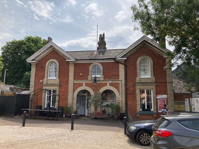
Mistley railway station
Mistley railway station is on the Mayflower Line, a branch of the Great Eastern Main Line in the East of England, serving the village of Mistley, Essex...

Manningtree
Manningtree is a town and civil parish in the Tendring district of Essex, England, which lies on the River Stour. It is part of the Suffolk Coast and Heaths...

Manningtree High School
Manningtree High School is a secondary school with academy status in Lawford, Manningtree, Essex, England. The school has specialist status in Science...
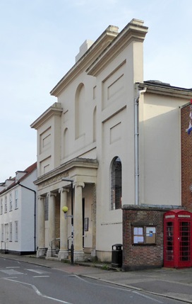
Corn Exchange, Manningtree
The Corn Exchange is a commercial building in the High Street in Manningtree, Essex, England. The structure, which is now used as a public library, is...
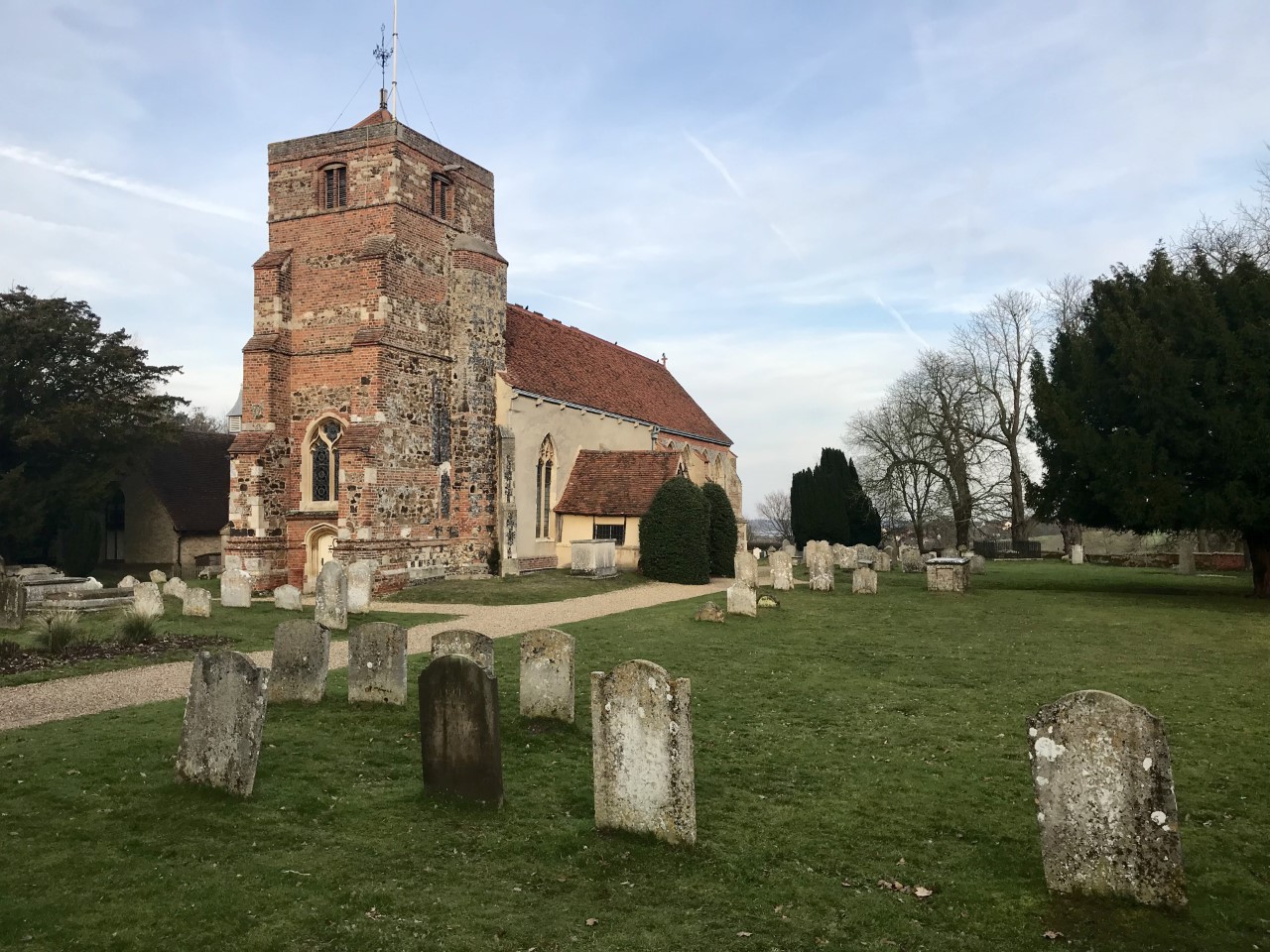
Mistley Towers
Mistley Towers are the twin towers of the now demolished Church of St. Mary the Virgin at Mistley in Essex (sometimes known as Mistley Thorn(e) Church...
Horsleycross Street
Horsleycross Street is a hamlet in the English county of Essex. Horsleycross Street lies on the B1035 road about a mile to the north of the main A120 that...
Lawford
Lawford is a large village and civil parish in the Tendring district of northeast Essex, England. It is approximately 6 miles (10 km) northeast from the...
Nearby Amenities
Located within 500m of 51.930366,1.0713107Have you been to Brickklin Grove?
Leave your review of Brickklin Grove below (or comments, questions and feedback).