The Warren
Wood, Forest in Norfolk Broadland
England
The Warren
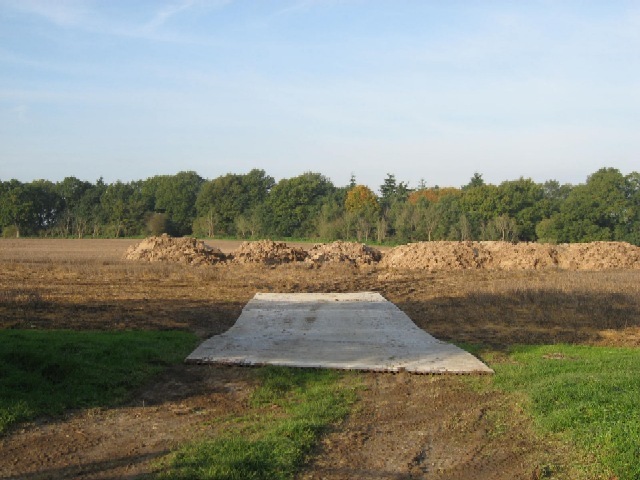
The Warren, Norfolk, also known as Wood or Forest, is a picturesque area located in the county of Norfolk, England. Covering an approximate area of several square kilometers, The Warren is renowned for its stunning natural beauty and diverse flora and fauna.
The landscape of The Warren is characterized by dense woodlands, lush green meadows, and rolling hills. The area is home to a variety of tree species, including oak, beech, and pine, which create a stunning canopy of foliage throughout the year. These woodlands provide a habitat for a wide range of wildlife, including deer, foxes, and numerous bird species.
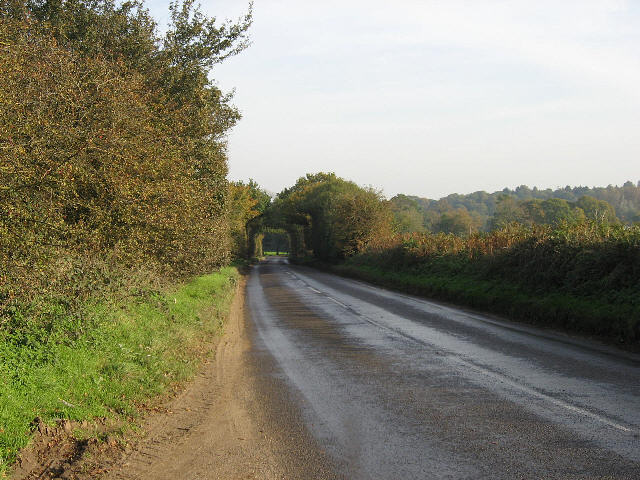
The Warren offers a tranquil escape for nature enthusiasts and outdoor lovers. It boasts an extensive network of walking trails and footpaths, allowing visitors to explore the area's scenic beauty. The forested areas provide ample opportunities for hiking, cycling, and wildlife spotting. There are also designated picnic areas where visitors can relax and enjoy a meal amidst the natural surroundings.
In addition to its natural attractions, The Warren is also home to a variety of historical landmarks. The area boasts several ancient burial mounds and archaeological sites, providing insight into its rich history. Furthermore, the nearby villages offer charming pubs, quaint shops, and traditional cottages, adding to the area's rural charm.
Overall, The Warren, Norfolk, is a haven for nature lovers and history enthusiasts alike. Its stunning woodlands, diverse wildlife, and peaceful atmosphere make it a must-visit destination for anyone seeking a break from the hustle and bustle of modern life.
If you have any feedback on the listing, please let us know in the comments section below.
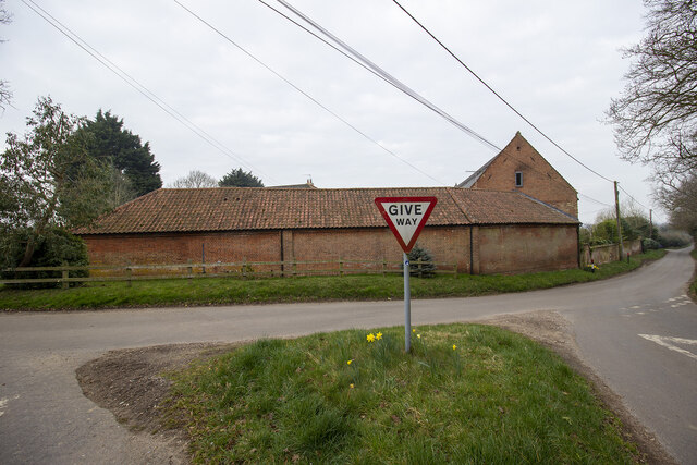
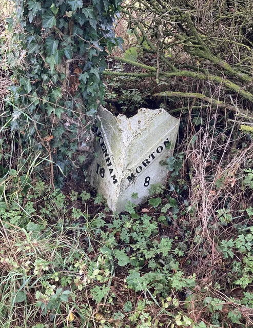
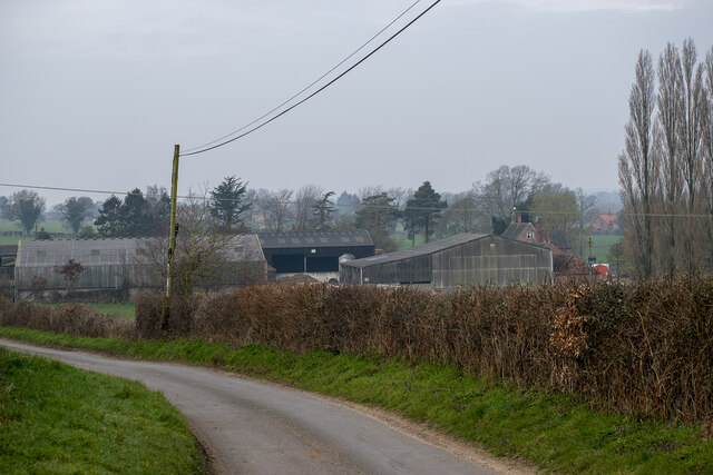
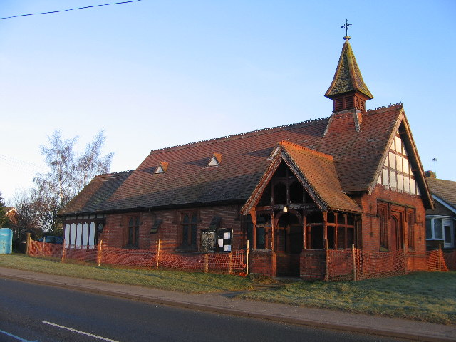
The Warren Images
Images are sourced within 2km of 52.720092/1.1245817 or Grid Reference TG1118. Thanks to Geograph Open Source API. All images are credited.


The Warren is located at Grid Ref: TG1118 (Lat: 52.720092, Lng: 1.1245817)
Administrative County: Norfolk
District: Broadland
Police Authority: Norfolk
What 3 Words
///storming.steers.watches. Near Reepham, Norfolk
Nearby Locations
Related Wikis

River Ainse (or Eyn)
The River Ainse (or Eyn) is a small river in the county of Norfolk. It is a tributary of the River Wensum which it merges with at Lenwade. The River Ainse...
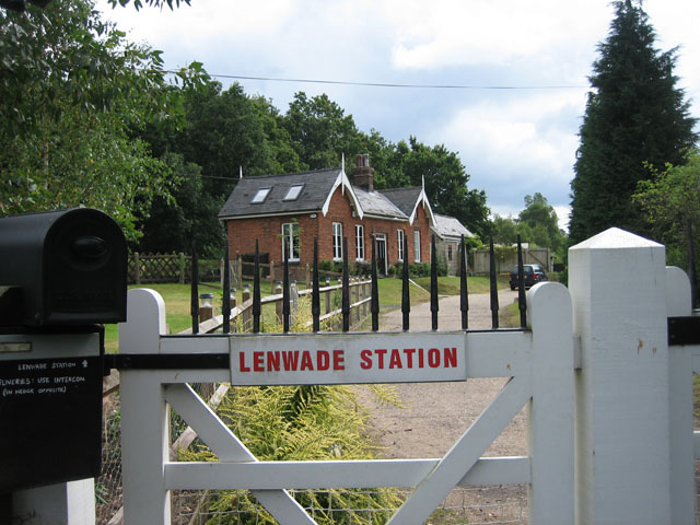
Lenwade railway station
Lenwade railway station was a railway station in North Norfolk, England. It was built by the Lynn and Fakenham Railway Company in 1882 and taken over by...

Lenwade
Lenwade is a village in the civil parish of Great Witchingham, Norfolk, situated in the Wensum Valley adjacent to the A1067 road 14 miles (23 km) south...

Alderford
Alderford is a village and civil parish in the English county of Norfolk, about ten miles (16 km) north-west of Norwich. The name 'Alderford' derives from...

Morton on the Hill
Morton on the Hill is a small but scattered village and civil parish in the English county of Norfolk, about 8 miles (13 km) north-west of Norwich. The...
Great Witchingham
Great Witchingham is a village and civil parish in the English county of Norfolk about 11 miles (18 km) north-west of Norwich. It covers an area of 9.12...

Alderford Common
Alderford Common is a 17.5-hectare (43-acre) biological Site of Special Scientific Interest north-west of Norwich in Norfolk.The common has a thin layer...

Attlebridge railway station
Attlebridge railway station is a closed station in Norfolk, England. It served the small village of Attlebridge. It was constructed by the Midland and...
Nearby Amenities
Located within 500m of 52.720092,1.1245817Have you been to The Warren?
Leave your review of The Warren below (or comments, questions and feedback).