Grange Plantation
Wood, Forest in Norfolk Broadland
England
Grange Plantation
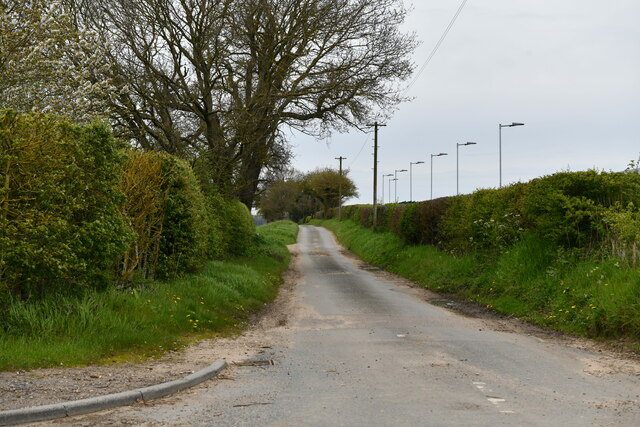
Grange Plantation, located in Norfolk, is a sprawling woodland area known for its scenic beauty and diverse ecosystem. Covering an extensive area of hectares, this plantation is a haven for nature enthusiasts and offers an escape from the bustling city life.
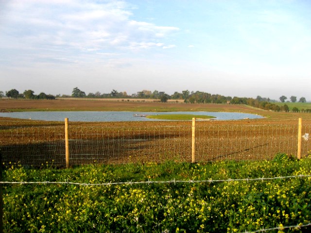
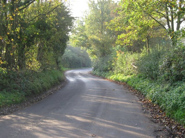
The plantation boasts a rich variety of flora and fauna, with an abundance of ancient woodlands that have been preserved for centuries. Towering oak, beech, and pine trees dominate the landscape, creating a dense canopy that supports a wide array of wildlife. Visitors can spot various bird species, including woodpeckers, owls, and thrushes, as well as small mammals such as rabbits, squirrels, and badgers.
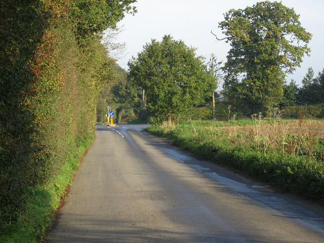
Grange Plantation is also home to numerous walking trails and footpaths that allow visitors to explore the area at their own pace. These trails offer breathtaking views of the surrounding countryside, with glimpses of rolling hills and meandering streams. The plantation is particularly popular during the autumn months when the trees display vibrant hues of red, orange, and gold.
In addition to its natural beauty, Grange Plantation also has historical significance. It has been owned by the same family for generations and has witnessed various changes throughout its existence. The plantation's management actively works towards conservation efforts, ensuring the preservation of its unique ecosystem for future generations to enjoy.
Overall, Grange Plantation in Norfolk is a captivating destination for nature lovers, offering an immersive experience in a serene woodland setting. Its combination of picturesque landscapes, diverse wildlife, and historical value make it a must-visit location for anyone seeking a tranquil retreat in the heart of nature.
If you have any feedback on the listing, please let us know in the comments section below.
Grange Plantation Images
Images are sourced within 2km of 52.655427/1.1162089 or Grid Reference TG1010. Thanks to Geograph Open Source API. All images are credited.


Grange Plantation is located at Grid Ref: TG1010 (Lat: 52.655427, Lng: 1.1162089)
Administrative County: Norfolk
District: Broadland
Police Authority: Norfolk
What 3 Words
///frail.never.jingles. Near Mattishall, Norfolk
Nearby Locations
Related Wikis

Honingham
Honingham is a village and civil parish in the English county of Norfolk, located 8 miles (13 km) to the west of Norwich along the A47 trunk road. It covers...

Colton, Norfolk
Colton is a village and former civil parish, 8 miles (13 km) west of Norwich, now in the parish of Marlingford and Colton, in the South Norfolk district...

Honingham Hall
Honingham Hall was a large country house at Honingham in Norfolk. == History == The house was commissioned by Sir Thomas Richardson, Chief Justice of the...

Marlingford and Colton
Marlingford and Colton, formerly Marlingford is a civil parish in the English county of Norfolk, made from the villages of Colton and Marlingford. It covers...

East Tuddenham
East Tuddenham is a village in the English county of Norfolk. The village is located 5.6 miles (9.0 km) south-west of Dereham and 9.5 miles (15.3 km) north...

Easton, Norfolk
Easton is a village and civil parish in the English county of Norfolk. The village is located 6.2 miles (10.0 km) north-west of Norwich and 9 miles (14...
Marlingford
Marlingford is a village and former civil parish, 6 miles (9.7 km) west of Norwich, now in the parish of Marlingford and Colton, in the South Norfolk district...
Easton College
Easton College is a college of further and higher education in Norfolk, United Kingdom. It is located on a 200-hectare (490-acre) campus in the village...
Nearby Amenities
Located within 500m of 52.655427,1.1162089Have you been to Grange Plantation?
Leave your review of Grange Plantation below (or comments, questions and feedback).